Moss of Halkirk
Downs, Moorland in Caithness
Scotland
Moss of Halkirk
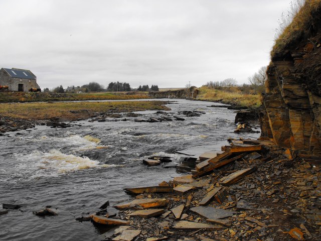
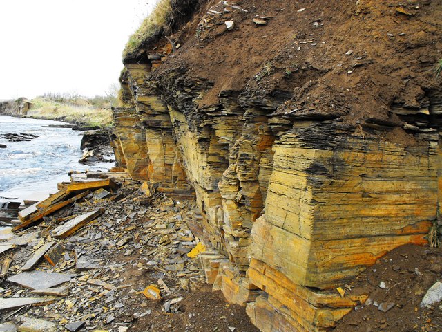
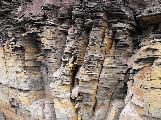
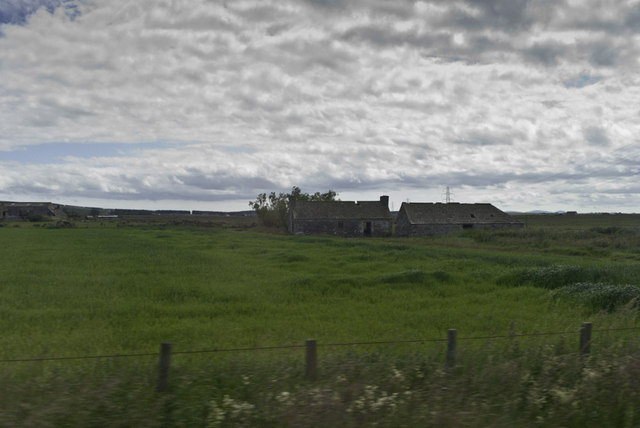
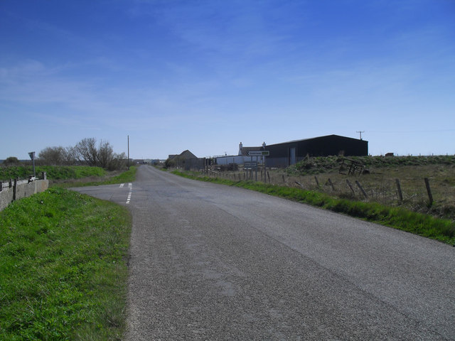
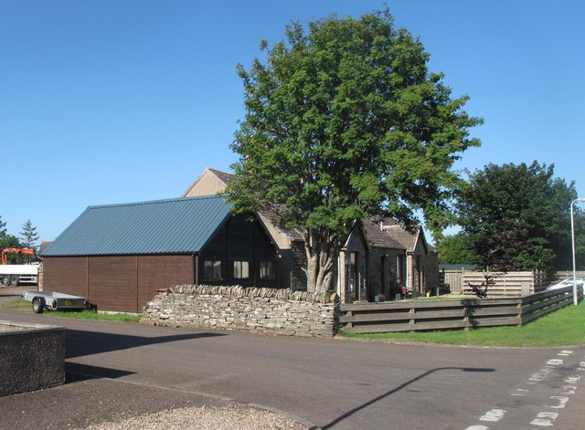
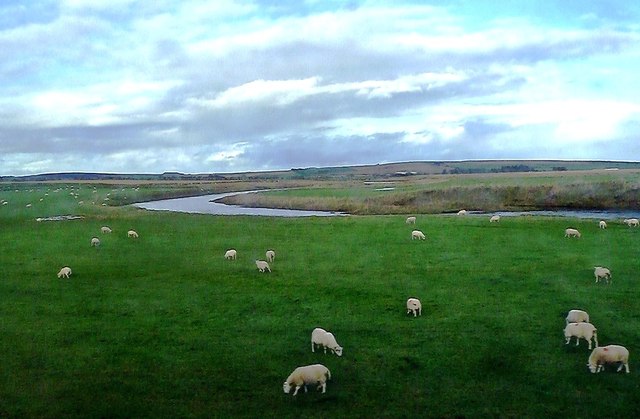
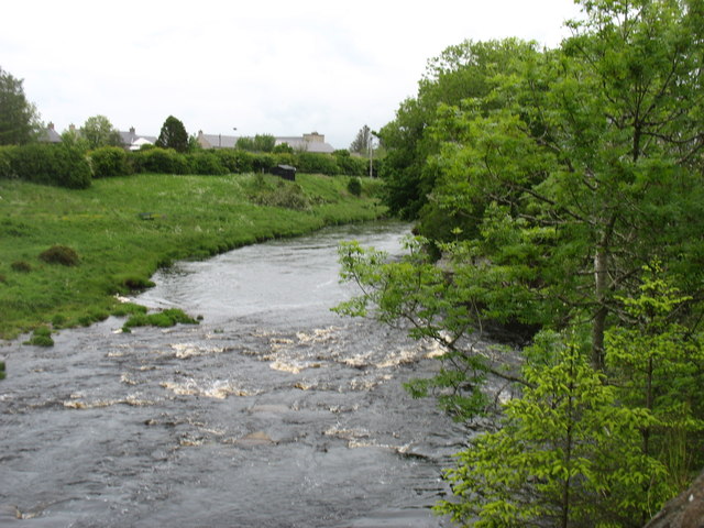
Moss of Halkirk is a vast expanse of peat bog located in the county of Caithness, Scotland. Situated in the northernmost region of the country, it covers an area of approximately 10 square miles. The moss is characterized by its unique landscape, featuring gently undulating terrain, scattered lochs, and patches of heather moorland.
The moss is predominantly composed of peat, a type of soil formed by the accumulation of partially decayed organic matter over thousands of years. This peat is an important carbon sink, storing large amounts of carbon dioxide and playing a significant role in mitigating climate change.
The vegetation in the area mainly consists of sphagnum moss, heather, and various grasses and sedges. The moss is also home to a diverse range of flora and fauna, including rare and protected species such as the golden plover, hen harrier, and Arctic skua. The wetland nature of the moss provides an ideal habitat for numerous bird species, making it a popular destination for birdwatching enthusiasts.
The area is accessible via a network of footpaths and trails, allowing visitors to explore its unique ecosystem. However, caution is advised when venturing into the moss, as its wet and boggy terrain can be treacherous. The moss is also known for its tranquil and remote atmosphere, offering a peaceful retreat for those seeking solitude and a connection with nature.
Overall, Moss of Halkirk is a remarkable natural feature of Caithness, boasting its distinctive peat bog landscape, diverse wildlife, and ecological significance as a carbon sink.
If you have any feedback on the listing, please let us know in the comments section below.
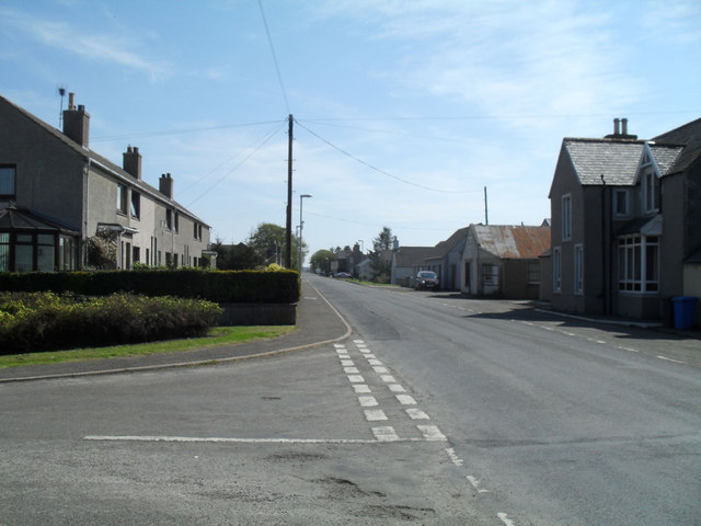
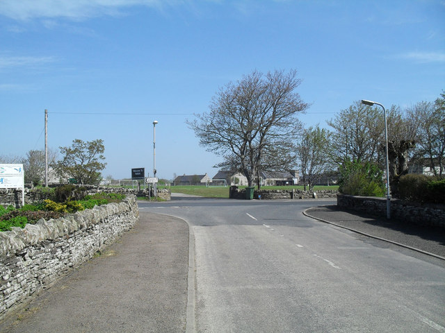
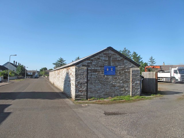
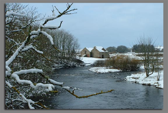
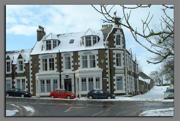
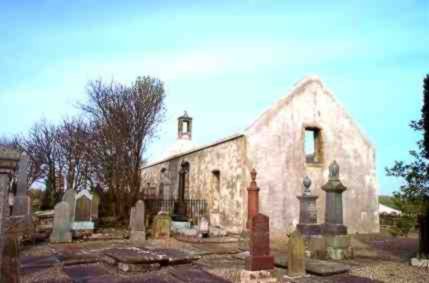
Moss of Halkirk Images
Images are sourced within 2km of 58.501556/-3.4938709 or Grid Reference ND1358. Thanks to Geograph Open Source API. All images are credited.
Moss of Halkirk is located at Grid Ref: ND1358 (Lat: 58.501556, Lng: -3.4938709)
Unitary Authority: Highland
Police Authority: Highlands and Islands
What 3 Words
///otters.sprinting.revamping. Near Halkirk, Highland
Nearby Locations
Related Wikis
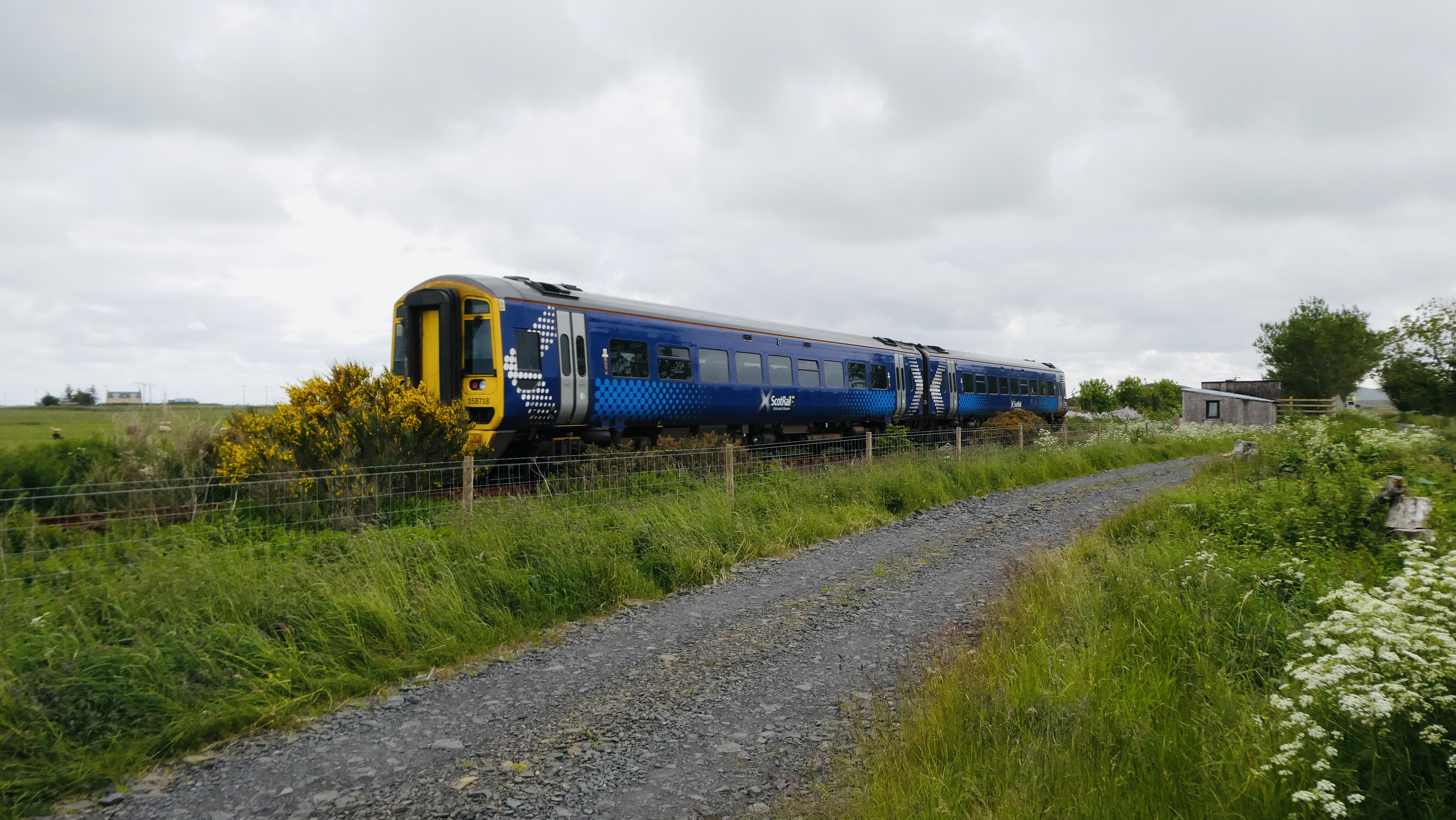
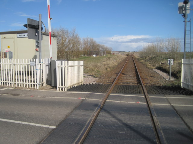
Halkirk railway station
Halkirk was a railway station located on the southern edge of the village of Halkirk, in Caithness in the Highland council area. The station opened on...

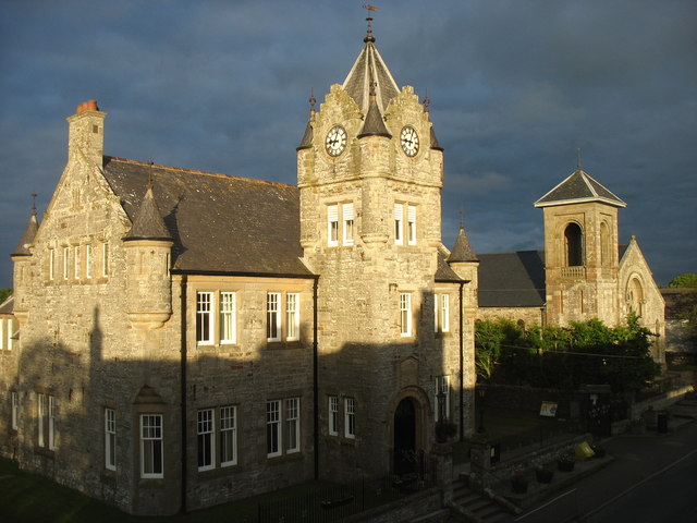
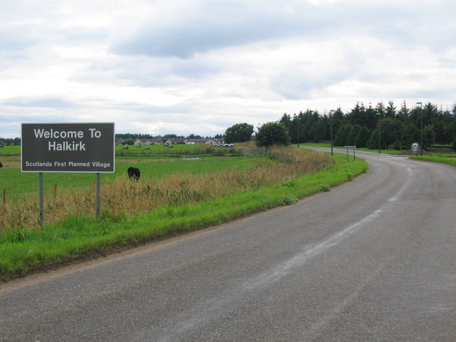
Halkirk
Halkirk (Scottish Gaelic: Hàcraig) is a village on the River Thurso in Caithness, in the Highland council area of Scotland. From Halkirk the B874 road...

Halkirk Auld Kirk
Halkirk Auld Kirk is a former parish church in Halkirk, Caithness, Scotland. Built in 1753, it stopped being used in 1934 and is now a ruin. Halkirk parish...

Halkirk United F.C.
Halkirk United Football Club are a senior football team from Halkirk, Caithness in Scotland, who compete in the North Caledonian Football League. ��2...

Braal Castle
Braal Castle is located by the River Thurso north of the village of Halkirk, in Caithness, northern Scotland. The ruined castle, which dates back to the...

Battle of Harpsdale
The Battle of Harpsdale (Battle of Achardale, Battle of Harpasdal) was a Scottish clan battle fought in 1426 at Achardale, about 8 miles (13 km) south...

Georgemas Junction railway station
Georgemas Junction railway station is a railway station located in the Highland council area in the far north of Scotland. It serves several rural hamlets...

Hoy railway station
Hoy was a railway station located northeast of Halkirk, Highland. The station opened on 28 July 1874 and closed to regular passenger traffic on 29 November...
Nearby Amenities
Located within 500m of 58.501556,-3.4938709Have you been to Moss of Halkirk?
Leave your review of Moss of Halkirk below (or comments, questions and feedback).