Blake Fell
Downs, Moorland in Cumberland Copeland
England
Blake Fell
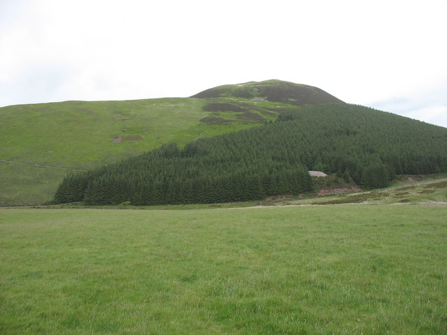
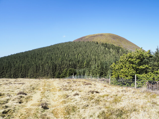
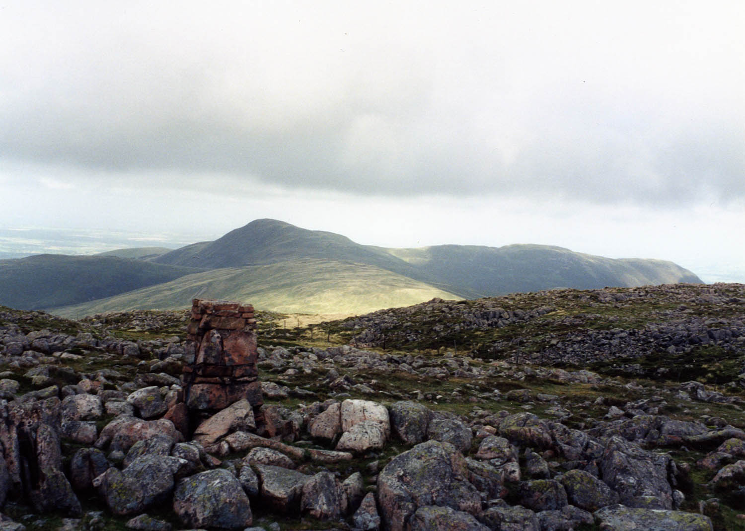
Blake Fell is a prominent hill located in the Lake District National Park, in the county of Cumbria, England. Standing at an elevation of 573 meters (1,880 feet), it offers breathtaking panoramic views of the surrounding countryside. Despite its relatively modest height, the Fell is renowned for its rugged beauty and has become a popular destination for hikers and nature enthusiasts.
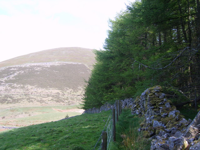
The landscape of Blake Fell is characterized by rolling moorland, dotted with pockets of heather and bracken. The terrain is relatively gentle, making it accessible to walkers of all abilities. The Fell is situated in close proximity to the charming village of Lamplugh, which serves as a convenient starting point for many treks up the hill.
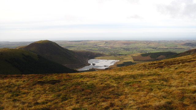
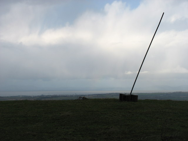
The ascent to Blake Fell is rewarded with stunning vistas that stretch across the Loweswater Valley, the Solway Firth, and even as far as the Isle of Man on clear days. The summit itself features a trig point, marking the highest point of the hill, along with a small cairn, providing a perfect spot for hikers to rest and enjoy the awe-inspiring views.
The Fell is also renowned for its diverse wildlife, including red squirrels, buzzards, and skylarks, which can often be spotted during a walk. Additionally, the area is home to several rare plant species, such as the carnivorous sundew.
Overall, Blake Fell is a captivating destination that offers visitors an opportunity to immerse themselves in the natural beauty and tranquility of the Lake District National Park.
If you have any feedback on the listing, please let us know in the comments section below.
Blake Fell Images
Images are sourced within 2km of 54.565128/-3.3763544 or Grid Reference NY1119. Thanks to Geograph Open Source API. All images are credited.
![Murton Fell [Knock Murton] Via Harris Side from minor road on grey day.
Name: Murton Fell [Knock Murton]
Hill number: 2492
Height: 447m / 1467ft
Area: 34B: Lake District - Central & Western Fells
Class: Hu,sMa,B
Grid ref: NY 09485 19079
Summit feature: no feature: 2m from small narrow cairn
Drop: 141m
Col: 306m NY098188](https://s0.geograph.org.uk/geophotos/03/30/99/3309968_a14d8fdb.jpg)


Blake Fell is located at Grid Ref: NY1119 (Lat: 54.565128, Lng: -3.3763544)
Administrative County: Cumbria
District: Copeland
Police Authority: Cumbria
What 3 Words
///divisible.sweep.cabbage. Near Frizington, Cumbria
Nearby Locations
Related Wikis

Blake Fell
Blake Fell is a hill in the Western part of the English Lake District. It is the highest point of the Loweswater Fells, an area of low grassy hills with...

Burnbank Fell
Burnbank Fell is a small hill in the west of the English Lake District. It is the most westerly of the Loweswater Fells, a group of low grassy hills just...
Gavel Fell
Gavel Fell is a hill in the English Lake District. Centremost of the five Loweswater Fells in the western part of the District, it stands between Hen Comb...

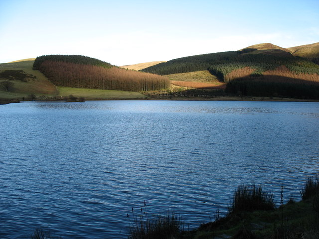
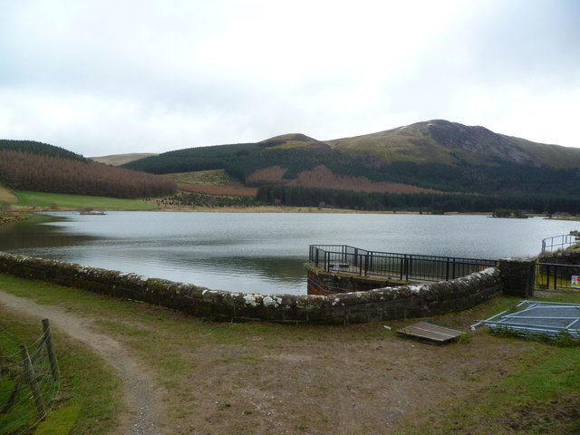
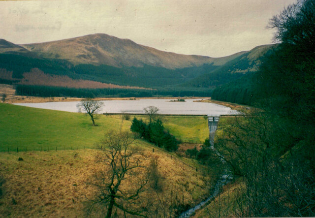
Cogra Moss
Cogra Moss is a shallow reservoir to the east of the village of Lamplugh on the western edge of the English Lake District. It was created by the damming...

Knock Murton
Knock Murton or Murton Fell is a hill of 464.4 metres (1,524 ft) in the north west of the Lake District, England. It lies in the Borough of Copeland in...

Loweswater
Loweswater is one of the smaller lakes in the English Lake District. The village of Loweswater is situated to the east of the lake. == Geography == The...

Lamplugh
Lamplugh () is a scattered community and civil parish located in West Cumbria on the edge of the English Lake District and historically part of Cumberland...
St Michael, Lamplugh
St Michael is in Lamplugh, Cumbria, England. It is an active Anglican parish church in the deanery of Calder, and the diocese of Carlisle. Its benefice...
Nearby Amenities
Located within 500m of 54.565128,-3.3763544Have you been to Blake Fell?
Leave your review of Blake Fell below (or comments, questions and feedback).