Burnbank Fell

Downs, Moorland in Cumberland Allerdale

England

Burnbank Fell

By Meregill Beck
By Meregill Beck Credit: David Purchase

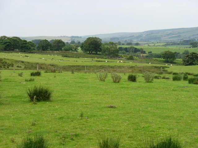
Burnbank Fell is a prominent natural landmark located in the county of Cumberland, England. Situated within the picturesque landscape of the Lake District National Park, it is renowned for its stunning downs and moorland. With an approximate area of 15 square kilometers, Burnbank Fell offers breathtaking views and diverse ecosystems.

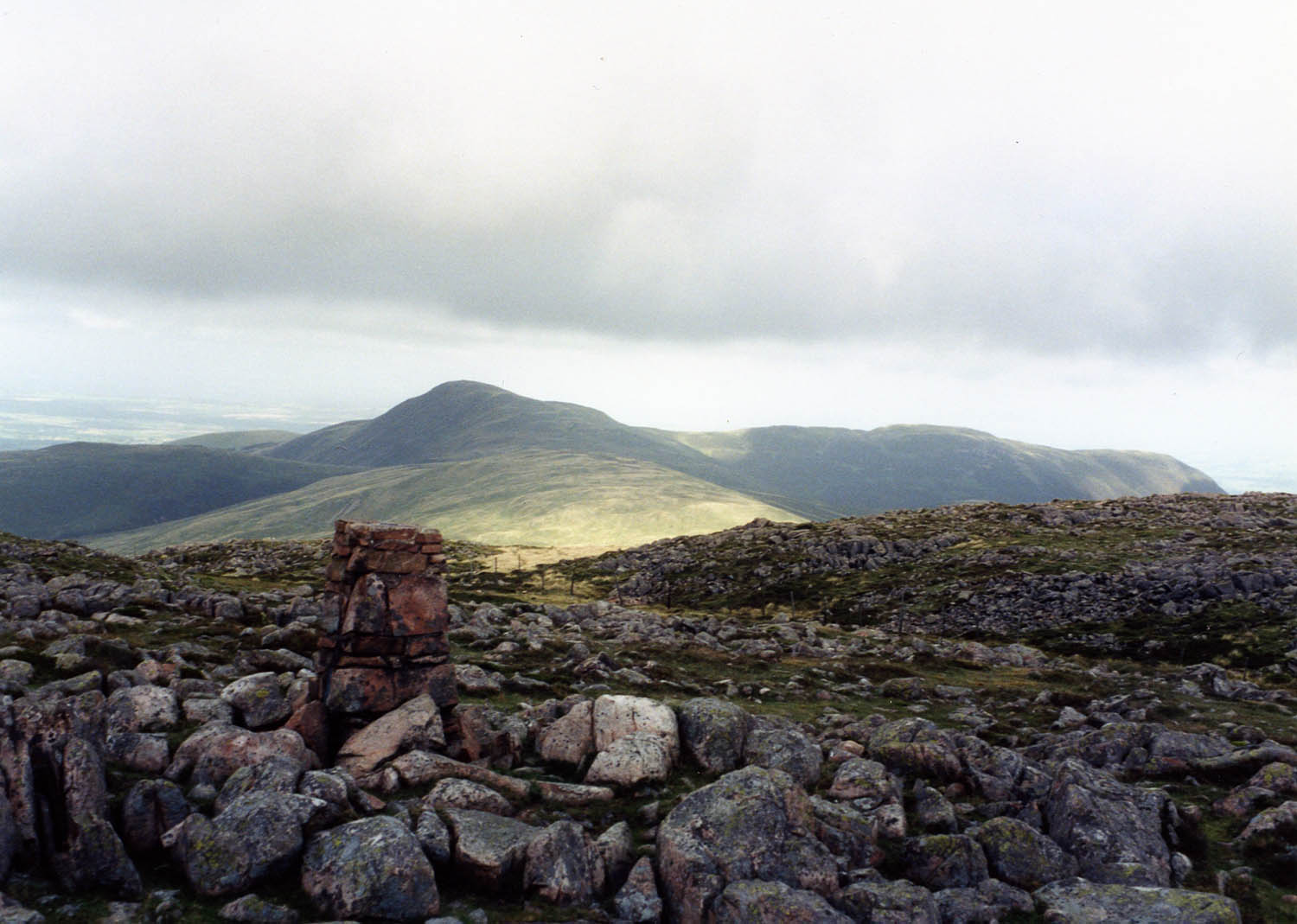
The fell is characterized by its gently rolling hills and expansive open spaces, covered in heather and grasses. Its elevation ranges from 300 to 500 meters above sea level, providing visitors with panoramic vistas of the surrounding countryside. The terrain is mostly rocky and rugged, with occasional peat bogs and small streams adding to its natural charm.

The vegetation on Burnbank Fell is predominantly heathland, with a variety of plant species thriving in the acidic soil. Visitors can expect to encounter heather, bilberry, and cotton grass, among others. This rich flora supports a diverse range of wildlife, including birds like curlews, lapwings, and grouse, which are often spotted soaring above the moorland. Additionally, the area is home to small mammals such as voles and shrews.

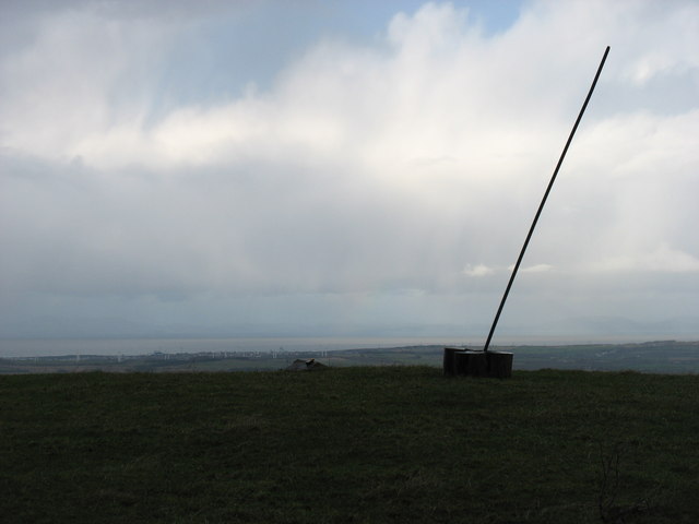
The fell offers ample opportunities for outdoor activities and exploration. Hiking and walking trails crisscross the landscape, allowing visitors to immerse themselves in the natural beauty of the area. The peacefulness and tranquility of Burnbank Fell make it an ideal destination for nature lovers, birdwatchers, and those seeking solitude amidst the stunning backdrop of the Lake District.

If you have any feedback on the listing, please let us know in the comments section below.

Burnbank Fell Images

Images are sourced within 2km of 54.576954/-3.3764282 or Grid Reference NY1121. Thanks to Geograph Open Source API. All images are credited.

By Meregill Beck
By Meregill Beck
Fields near Holedale
The summit of High Hows There is now a more conspicuous marker at the summit than was shown in earlier photographs!
The summit of High Hows
There is now a more conspicuous marker at the summit than was shown in earlier photographs!
Fallen tree beside Loweswater Low Fell <a href="https://www.geograph.org.uk/gridref/NY1322">NY1322</a> lies across the water. In the distance are Grasmoor <a href="https://www.geograph.org.uk/gridref/NY1720">NY1720</a> with Whiteside <a href="https://www.geograph.org.uk/gridref/NY1721">NY1721</a> to the left.
Fallen tree beside Loweswater
Low Fell NY1322 lies across the water. In the distance are Grasmoor NY1720 with Whiteside NY1721 to the left.
Fallen tree beside Loweswater
Footpath at Waterend Across marshy ground at the head of Loweswater. Darling Fell <a href="https://www.geograph.org.uk/gridref/NY1222">NY1222</a> across the valley.
Footpath at Waterend
Across marshy ground at the head of Loweswater. Darling Fell NY1222 across the valley.
Young Blackbird On a wall near Hudson Place.
Young Blackbird
On a wall near Hudson Place.
Hedgerow and fence above Loweswater
Driftwood beside Loweswater
The Goblin Tree Giant Sycamore in Holme Wood.
The Goblin Tree
Giant Sycamore in Holme Wood.
Small beach on the shores of Loweswater
Holme Wood Bothy Stone tent let out to holidaymakers by the National Trust. £500+ per week seems a high price to pay for minimal facilities, when compared with the cost of fully-equipped holiday cottages.
Holme Wood Bothy
Stone tent let out to holidaymakers by the National Trust. £500+ per week seems a high price to pay for minimal facilities, when compared with the cost of fully-equipped holiday cottages.
Giant Sweet Chestnut in Holme Wood On the shores of Loweswater.
Giant Sweet Chestnut in Holme Wood
On the shores of Loweswater.
Looking down Loweswater Low Fell <a href="https://www.geograph.org.uk/gridref/NY1322">NY1322</a> stands across the lake. In the distance are Grasmoor <a href="https://www.geograph.org.uk/gridref/NY1720">NY1720</a> with Whiteside <a href="https://www.geograph.org.uk/gridref/NY1721">NY1721</a> to the left.
Looking down Loweswater
Low Fell NY1322 stands across the lake. In the distance are Grasmoor NY1720 with Whiteside NY1721 to the left.
Wall at the end of Holme Wood Beside Loweswater.
Wall at the end of Holme Wood
Beside Loweswater.
The shores of Loweswater At the eastern end of Holme Wood.
The shores of Loweswater
At the eastern end of Holme Wood.
Lower end of Loweswater Low Fell <a href="https://www.geograph.org.uk/gridref/NY1322">NY1322</a> across the lake.
Lower end of Loweswater
Low Fell NY1322 across the lake.
Loweswater from the shoreside path. Lovely views across the lake.
Loweswater from the shoreside path.
Lovely views across the lake.
Show me another place!

Burnbank Fell is located at Grid Ref: NY1121 (Lat: 54.576954, Lng: -3.3764282)

Administrative County: Cumbria

District: Allerdale

Police Authority: Cumbria

What 3 Words

///pencils.toads.sands. Near Frizington, Cumbria

Nearby Locations

Holme Force Burnbank Fell

Related Wikis

Burnbank Fell

Burnbank Fell is a small hill in the west of the English Lake District. It is the most westerly of the Loweswater Fells, a group of low grassy hills just...

Blake Fell

Blake Fell is a hill in the Western part of the English Lake District. It is the highest point of the Loweswater Fells, an area of low grassy hills with...

Loweswater

Loweswater is one of the smaller lakes in the English Lake District. The village of Loweswater is situated to the east of the lake. == Geography == The...

Cogra Moss

Cogra Moss is a shallow reservoir to the east of the village of Lamplugh on the western edge of the English Lake District. It was created by the damming...

Lamplugh

Lamplugh () is a scattered community and civil parish located in West Cumbria on the edge of the English Lake District and historically part of Cumberland...

St Michael, Lamplugh

St Michael is in Lamplugh, Cumbria, England. It is an active Anglican parish church in the deanery of Calder, and the diocese of Carlisle. Its benefice...

Knock Murton

Knock Murton or Murton Fell is a hill of 464.4 metres (1,524 ft) in the north west of the Lake District, England. It lies in the Borough of Copeland in...

Gavel Fell

Gavel Fell is a hill in the English Lake District. Centremost of the five Loweswater Fells in the western part of the District, it stands between Hen Comb...

Nearby Amenities

Located within 500m of 54.576954,-3.3764282
Burnbank Fell
Ele: 475
Natural: peak
Source: npe
Wikidata: Q4999614
Wikipedia: en:Burnbank Fell
Lat/Long: 54.5759585/-3.3783657
Burnbank Lead Mine
Abandoned: yes
Historic: mine
Man Made: mine
Mineral: lead
Lat/Long: 54.5744817/-3.3793729
Abandoned: yes
Man Made: adit
Lat/Long: 54.574348/-3.3804959
Abandoned: yes
Man Made: adit
Lat/Long: 54.5749827/-3.3786809
Abandoned: yes
Man Made: adit
Lat/Long: 54.5747673/-3.3784013
Barrier: stile
Lat/Long: 54.5729432/-3.3766859
The data included in this document is from www.openstreetmap.org. The data is made available under ODbL.

Have you been to Burnbank Fell?

Leave your review of Burnbank Fell below (or comments, questions and feedback).