Fitz Park

Downs, Moorland in Cumberland Allerdale

England

Fitz Park

Brigham Road, near Cockermouth Brigham Road is a minor road leading to the village of Brigham, in Cumbria.  Here, the speed limit changes to 30 miles per hour through the village ahead.
Brigham Road, near Cockermouth Credit: Malc McDonald

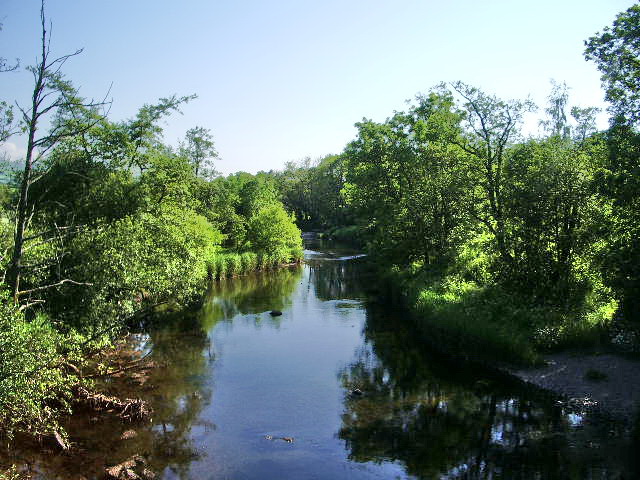
Fitz Park is a picturesque park located in the heart of Cumberland, in the Downs and Moorland region of England. Spanning over an expansive area, this park offers a serene escape from the bustling city life, making it a favorite spot among locals and tourists alike.

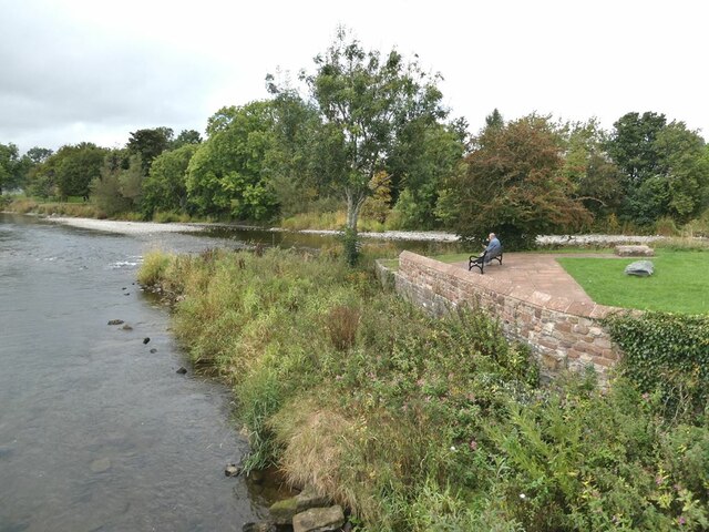
The park boasts lush green meadows, towering trees, and vibrant flower beds, which create a tranquil ambiance and provide a perfect setting for leisurely strolls or picnics with family and friends. Fitz Park is also home to a beautiful lake, where visitors can enjoy boating or simply relax while admiring the scenic views.

For sports enthusiasts, the park offers a range of facilities including tennis courts, a football pitch, and a cricket ground, catering to different interests and age groups. Additionally, there is a well-maintained children's playground, complete with swings, slides, and climbing frames, ensuring that younger visitors can have a fun-filled day as well.

Fitz Park is not only a recreational space but also a hub for community events and gatherings. It regularly hosts festivals, fairs, and concerts, bringing the community together and adding a vibrant atmosphere to the park.

With its well-manicured lawns, well-equipped sports facilities, and a variety of amenities, Fitz Park is a true gem in the Cumberland region. It provides an ideal place for relaxation, exercise, and socializing, making it an essential destination for anyone seeking a peaceful retreat amidst nature.

If you have any feedback on the listing, please let us know in the comments section below.
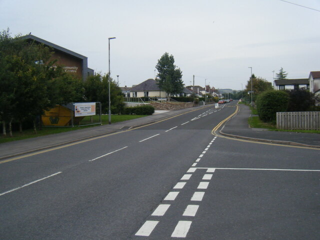
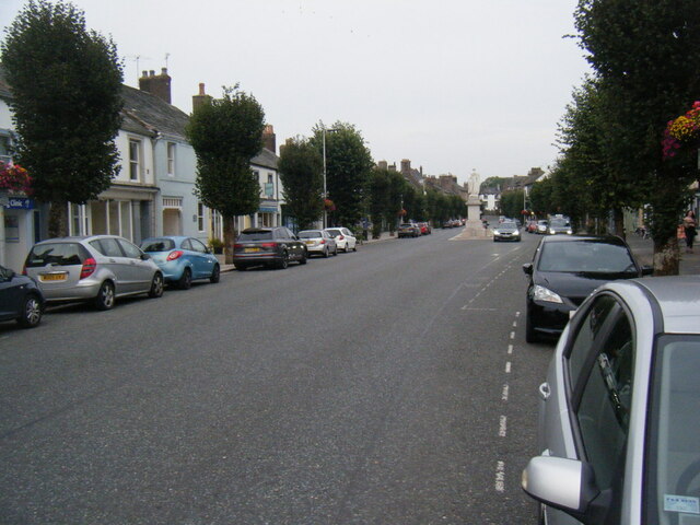
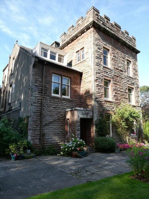
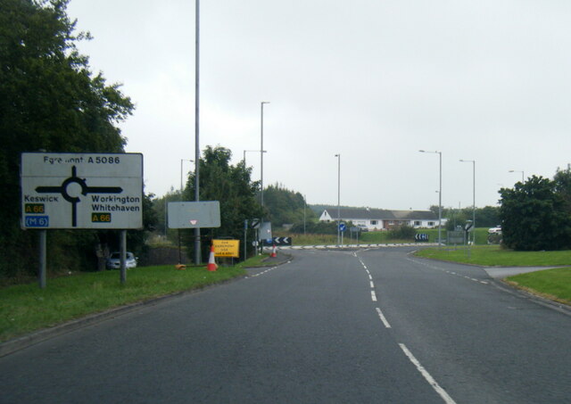
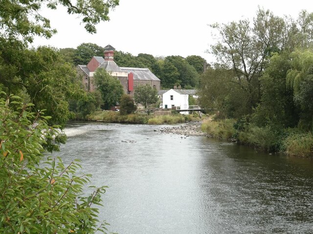
Fitz Park Images

Images are sourced within 2km of 54.663454/-3.3800807 or Grid Reference NY1130. Thanks to Geograph Open Source API. All images are credited.

Brigham Road, near Cockermouth Brigham Road is a minor road leading to the village of Brigham, in Cumbria.  Here, the speed limit changes to 30 miles per hour through the village ahead.
Brigham Road, near Cockermouth
Brigham Road is a minor road leading to the village of Brigham, in Cumbria. Here, the speed limit changes to 30 miles per hour through the village ahead.
Brigham Road, near Cockermouth Brigham Road is a minor road in Cumbria.  It leads to the village of Brigham, visible on the hillside in the distance.
Brigham Road, near Cockermouth
Brigham Road is a minor road in Cumbria. It leads to the village of Brigham, visible on the hillside in the distance.
A595 at Anns Hill lane junction
A595 nears Cockermouth roundabout
Castlegate Drive near Cockermouth Hospital
Main Street, Cockermouth
The Towers, Cockermouth 19th Century house, divided into two apartments.
The Towers, Cockermouth
19th Century house, divided into two apartments.
A5086 nearing Lamplugh Roundabout
A66 at Simonscales Lane overbridge
River Derwent at Cockermouth In the middle distance, the confluence <a href="https://www.geograph.org.uk/gridref/NY1230">NY1230</a> of the Cocker (to the right) with the Derwent. Jennings Brewery beyond.
River Derwent at Cockermouth
In the middle distance, the confluence NY1230 of the Cocker (to the right) with the Derwent. Jennings Brewery beyond.
Miller's Bridge over the River Derwent Looking towards town. The bridge was opened by HRH the Princess Royal in July 2010.
Miller's Bridge over the River Derwent
Looking towards town. The bridge was opened by HRH the Princess Royal in July 2010.
Brewery Lane footbridge Lowest bridge over the River Cocker.
Brewery Lane footbridge
Lowest bridge over the River Cocker.
Waterloo Street The houses on the right back on to the River Derwent.
Waterloo Street
The houses on the right back on to the River Derwent.
Confluence  of the River Cocker with the River Derwent A small public park where the Cocker (nearest camera) flows into the Derwent.
Confluence of the River Cocker with the River Derwent
A small public park where the Cocker (nearest camera) flows into the Derwent.
Brewery Lane The family firm of Jennings opened this brewery in 1874 and functioned as an independent brewery for well over a century. In 2005, the business was acquired by Marstons and there is no longer any member of the Jennings family associated with the business.
Brewery Lane
The family firm of Jennings opened this brewery in 1874 and functioned as an independent brewery for well over a century. In 2005, the business was acquired by Marstons and there is no longer any member of the Jennings family associated with the business.
Jennings Brewery yard The family firm of Jennings opened this brewery in 1874 and functioned as an independent brewery for well over a century. In 2005, the business was acquired by Marstons and there is no longer any member of the Jennings family associated with the business.

Presumably the colour coding of the different kegs has some significance.
Jennings Brewery yard
The family firm of Jennings opened this brewery in 1874 and functioned as an independent brewery for well over a century. In 2005, the business was acquired by Marstons and there is no longer any member of the Jennings family associated with the business. Presumably the colour coding of the different kegs has some significance.
Archway to Jennings Brewery The family firm of Jennings opened this brewery in 1874 and functioned as an independent brewery for well over a century. In 2005, the business was acquired by Marstons and there is no longer any member of the Jennings family associated with the business.
Archway to Jennings Brewery
The family firm of Jennings opened this brewery in 1874 and functioned as an independent brewery for well over a century. In 2005, the business was acquired by Marstons and there is no longer any member of the Jennings family associated with the business.
Rear of the Honest Lawyer Restaurant Overlooking the River Cocker.
Rear of the Honest Lawyer Restaurant
Overlooking the River Cocker.
Show me another place!

Fitz Park is located at Grid Ref: NY1130 (Lat: 54.663454, Lng: -3.3800807)

Administrative County: Cumbria

District: Allerdale

Police Authority: Cumbria

What 3 Words

///inefficient.palettes.accordion. Near Cockermouth, Cumbria

Related Wikis

Cockermouth railway station (Cockermouth and Workington Railway)

The original Cockermouth railway station was the eastern terminus of the Cockermouth & Workington Railway. It served the town of Cockermouth, Cumbria,...

Papcastle

Papcastle is a village and civil parish in the borough of Allerdale in the English county of Cumbria. The village is now effectively a northern extension...
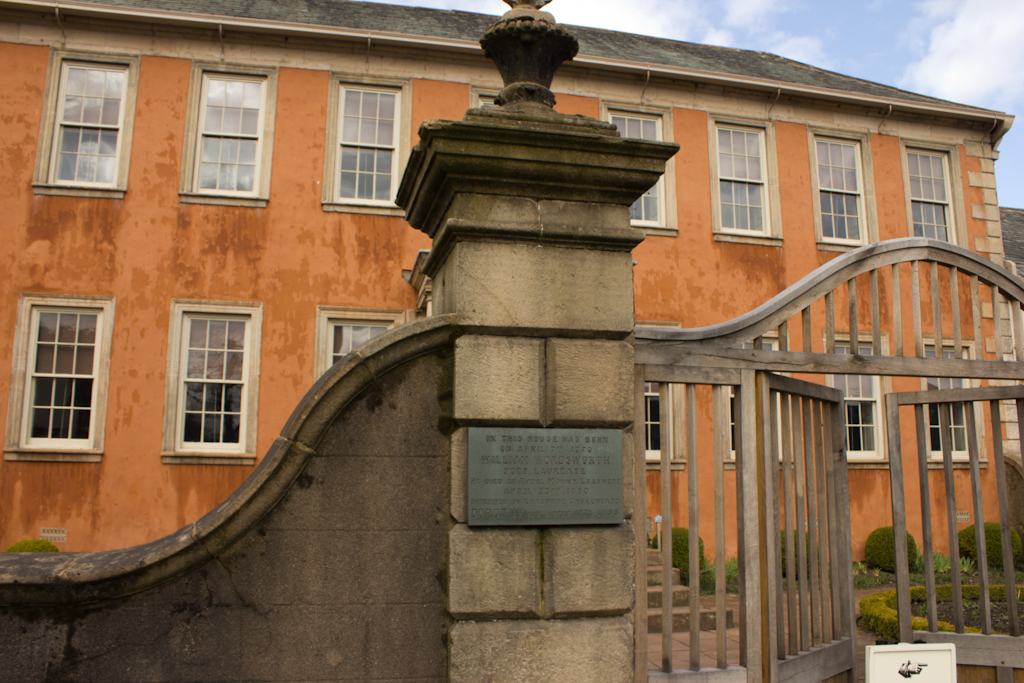
Wordsworth House

Wordsworth House is a Georgian townhouse situated in Cockermouth, Cumbria, England, and in the ownership of the National Trust. It was built in the mid...

Cockermouth Rural District

Cockermouth was a rural district in Cumberland, England, from 1894 to 1974. It was created by the Local Government Act 1894 based on Cockermouth rural...

Cockermouth United Reformed Church

Cockermouth United Reformed Church is a congregation first established at Cockermouth, England, in 1651. Originally known as Cockermouth Independent Church...

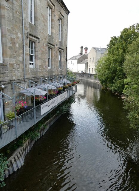
River Cocker, Cumbria

The River Cocker is a river in the Lake District in North West England, in the county of Cumbria. Its source is at the head of the Buttermere valley. It...

Cockermouth railway station

Cockermouth railway station was situated on the Cockermouth, Keswick and Penrith Railway and served the town of Cockermouth, Cumbria, England. The station...
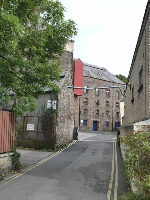
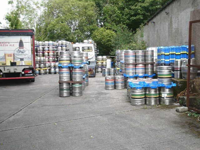
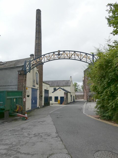
Jennings Brewery

Jennings Brewery was established as a family concern in 1828 in the village of Lorton, between Buttermere and Cockermouth in the Lake District, England...

Nearby Amenities

Located within 500m of 54.663454,-3.3800807
Mini Roundabout
Lat/Long: 54.6639858/-3.3759551
Turning Circle
Lat/Long: 54.660674/-3.3764942
Cafe
Tea Room
Lat/Long: 54.6648045/-3.3765136
Parking
Lat/Long: 54.6597184/-3.3826845
Parklands
Place: suburb
Lat/Long: 54.6601584/-3.3788731
Goat
Place: locality
Lat/Long: 54.6659/-3.3746869
Settlement
Historic: archaeological_site
Historic Civilization: ancient_roman
Lat/Long: 54.6665087/-3.3778741
Fitz Park
Place: locality
Lat/Long: 54.6636875/-3.3805178
Sandair
Place: locality
Lat/Long: 54.6652335/-3.3751309
Cockermouth Junction
Railway: junction
Lat/Long: 54.6651252/-3.3816025
Cockermouth
Abandoned Railway: station
Railway: site
Wikidata: Q5139585
Wikipedia: en:Cockermouth railway station (Cockermouth and Workington Railway)
Lat/Long: 54.6644836/-3.3761145
Generator Method: photovoltaic
Generator Output Electricity: yes
Generator Source: solar
Generator Type: solar_photovoltaic_panel
Location: roof
Power: generator
Lat/Long: 54.6645488/-3.3769113
Generator Method: photovoltaic
Generator Output Electricity: yes
Generator Source: solar
Generator Type: solar_photovoltaic_panel
Location: roof
Power: generator
Lat/Long: 54.664524/-3.3768201
Generator Method: photovoltaic
Generator Output Electricity: yes
Generator Source: solar
Generator Type: solar_photovoltaic_panel
Location: roof
Power: generator
Lat/Long: 54.6645022/-3.3767342
Generator Method: photovoltaic
Generator Output Electricity: yes
Generator Source: solar
Generator Type: solar_photovoltaic_panel
Location: roof
Power: generator
Lat/Long: 54.6644774/-3.3766591
Generator Method: photovoltaic
Generator Output Electricity: yes
Generator Source: solar
Generator Type: solar_photovoltaic_panel
Location: roof
Power: generator
Lat/Long: 54.6644526/-3.3765572
Generator Method: photovoltaic
Generator Output Electricity: yes
Generator Source: solar
Generator Type: solar_photovoltaic_panel
Location: roof
Power: generator
Lat/Long: 54.6644324/-3.3764794
Generator Method: photovoltaic
Generator Output Electricity: yes
Generator Source: solar
Generator Type: solar_photovoltaic_panel
Location: roof
Power: generator
Lat/Long: 54.6644185/-3.3763855
Generator Method: photovoltaic
Generator Output Electricity: yes
Generator Source: solar
Generator Type: solar_photovoltaic_panel
Location: roof
Power: generator
Lat/Long: 54.6644014/-3.3763051
Generator Method: photovoltaic
Generator Output Electricity: yes
Generator Source: solar
Generator Type: solar_photovoltaic_panel
Location: roof
Power: generator
Lat/Long: 54.6643828/-3.37623
Generator Method: photovoltaic
Generator Output Electricity: yes
Generator Source: solar
Generator Type: solar_photovoltaic_panel
Location: roof
Power: generator
Lat/Long: 54.6631395/-3.3763045
Generator Method: photovoltaic
Generator Output Electricity: yes
Generator Source: solar
Generator Type: solar_photovoltaic_panel
Location: roof
Power: generator
Lat/Long: 54.6629567/-3.3729412
Power: pole
Lat/Long: 54.6595183/-3.3829544
Power: pole
Lat/Long: 54.6595124/-3.3821806
The data included in this document is from www.openstreetmap.org. The data is made available under ODbL.

Have you been to Fitz Park?

Leave your review of Fitz Park below (or comments, questions and feedback).