Fitz Woods

Wood, Forest in Cumberland Allerdale

England

Fitz Woods

Ellerbeck Brow, Brigham, near Cockermouth Ellerbeck Brow is a minor road entering the village of Brigham in Cumbria.
Ellerbeck Brow, Brigham, near Cockermouth Credit: Malc McDonald

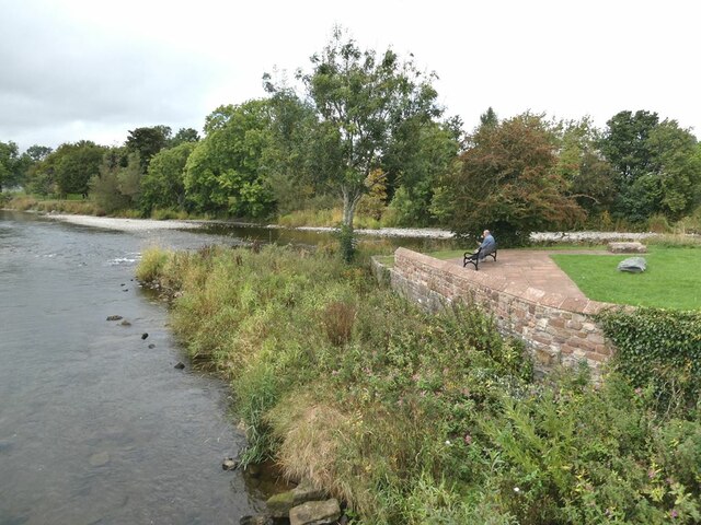
Fitz Woods, Cumberland, also known as Fitz Wood or Fitz Forest, is a picturesque woodland located in the county of Cumberland in northwest England. Spanning over a vast area, it is renowned for its natural beauty, diverse flora, and rich history.

The woodland is characterized by its dense canopy of towering trees, primarily oak and beech, which provide shelter and habitat for a wide range of wildlife. Visitors to Fitz Woods can expect to encounter various species of birds, such as woodpeckers and owls, as well as small mammals like squirrels and rabbits. The forest floor is adorned with a carpet of wildflowers, creating an enchanting atmosphere.

Fitz Woods holds significant historical value, with evidence of human activity dating back centuries. Archaeological discoveries suggest that the area was inhabited by ancient civilizations, who relied on the forest for resources such as timber and food. In more recent times, the woodland played a crucial role during World War II, as it provided camouflage for military operations.

The forest offers an array of recreational activities for nature enthusiasts. There are numerous trails and pathways that wind through the woods, allowing visitors to explore the area on foot or by bicycle. Additionally, the presence of several clearings and picnic spots provides opportunities for relaxation and family outings.

Fitz Woods, Cumberland, is a cherished natural treasure that appeals to both history buffs and outdoor enthusiasts. Its combination of breathtaking scenery, diverse wildlife, and cultural significance make it a must-visit destination for anyone seeking a tranquil escape into nature.

If you have any feedback on the listing, please let us know in the comments section below.
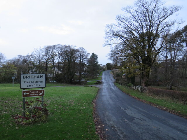
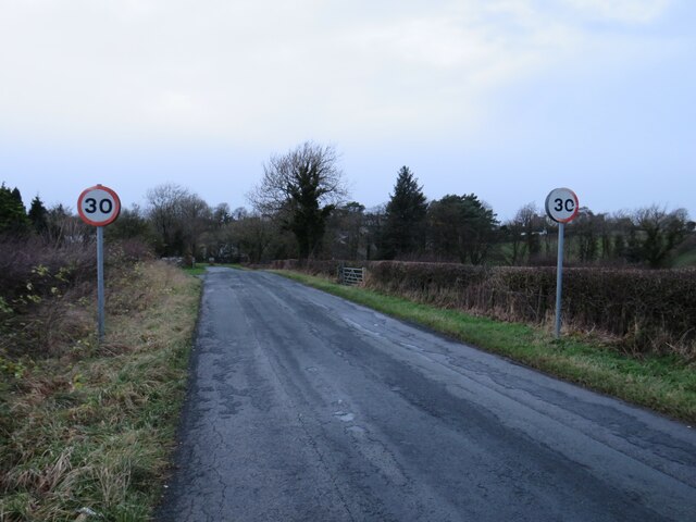
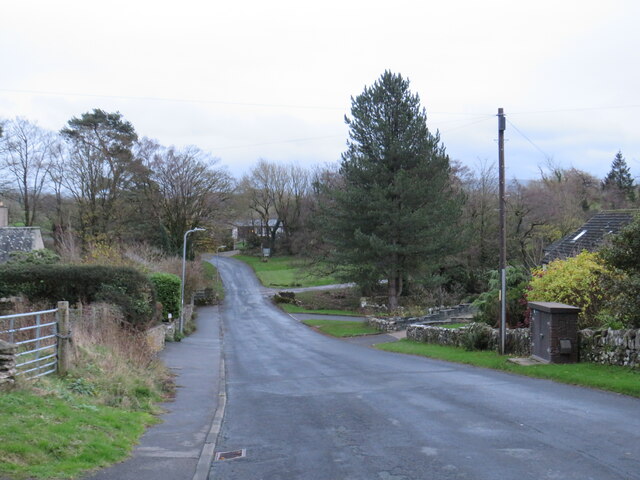
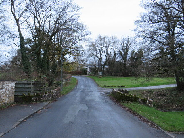
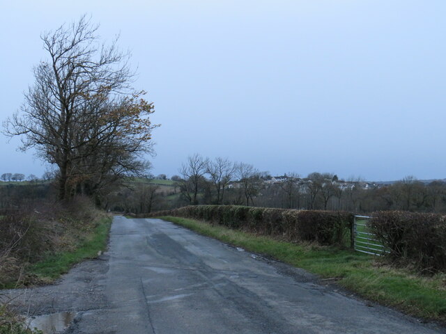
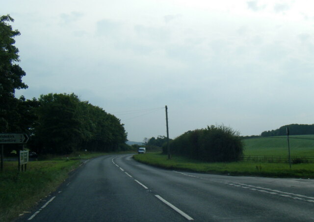
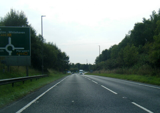
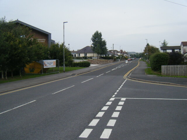
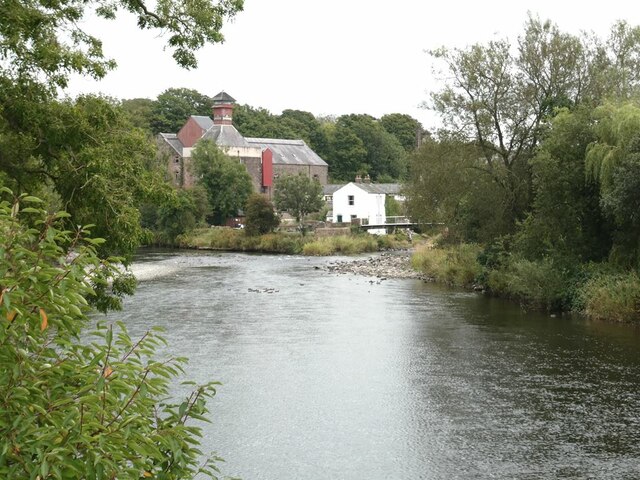
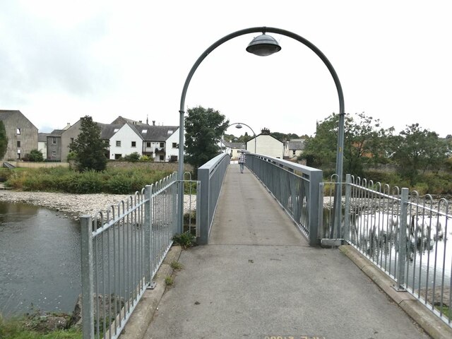
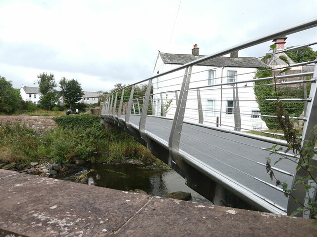
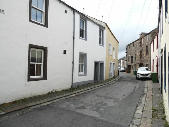
Fitz Woods Images

Images are sourced within 2km of 54.661392/-3.3811891 or Grid Reference NY1130. Thanks to Geograph Open Source API. All images are credited.

Ellerbeck Brow, Brigham, near Cockermouth Ellerbeck Brow is a minor road entering the village of Brigham in Cumbria.
Ellerbeck Brow, Brigham, near Cockermouth
Ellerbeck Brow is a minor road entering the village of Brigham in Cumbria.
Brigham Road, near Cockermouth Brigham Road is a minor road leading to the village of Brigham, in Cumbria.  Here, the speed limit changes to 30 miles per hour through the village ahead.
Brigham Road, near Cockermouth
Brigham Road is a minor road leading to the village of Brigham, in Cumbria. Here, the speed limit changes to 30 miles per hour through the village ahead.
Ellerbeck Brow, Brigham, near Cockermouth Ellerbeck Brow is a minor road leading out of the village of Brigham, in Cumbria.
Ellerbeck Brow, Brigham, near Cockermouth
Ellerbeck Brow is a minor road leading out of the village of Brigham, in Cumbria.
Ellerbeck Brow, Brigham, near Cockermouth Ellerbeck Brow is a minor road leading out of the village of Brigham in Cumbria.  Here the road crosses Eller Beck, a small stream.
Ellerbeck Brow, Brigham, near Cockermouth
Ellerbeck Brow is a minor road leading out of the village of Brigham in Cumbria. Here the road crosses Eller Beck, a small stream.
Brigham Road, near Cockermouth Brigham Road is a minor road in Cumbria.  It leads to the village of Brigham, visible on the hillside in the distance.
Brigham Road, near Cockermouth
Brigham Road is a minor road in Cumbria. It leads to the village of Brigham, visible on the hillside in the distance.
Old Milestone by Low Road, north of Brigham Carved stone post by the UC road, in parish of BRIGHAM (ALLERDALE District), Brigham Hill, Low Road, by Eller Ridge Cottage, in wall of Bread House, on South side of road. Carlisle red stone and curved iron plate, erected by the Cockermouth & Workington turnpike trust in the 19th century. 

Inscription reads:-
COCKERMOUTH
2 MILES
WORKINGTON
6 
Carved benchmark on face.

Grade II Listed. List Entry Number: 1145202 <span class="nowrap"><a title="https://historicengland.org.uk/listing/the-list/list-entry/1145202" rel="nofollow ugc noopener" href="https://historicengland.org.uk/listing/the-list/list-entry/1145202">Link</a><img style="margin-left:2px;" alt="External link" title="External link - shift click to open in new window" src="https://s1.geograph.org.uk/img/external.png" width="10" height="10"/></span>

Milestone Society National ID: CU_CMWO02.
Old Milestone by Low Road, north of Brigham
Carved stone post by the UC road, in parish of BRIGHAM (ALLERDALE District), Brigham Hill, Low Road, by Eller Ridge Cottage, in wall of Bread House, on South side of road. Carlisle red stone and curved iron plate, erected by the Cockermouth & Workington turnpike trust in the 19th century. Inscription reads:- COCKERMOUTH 2 MILES WORKINGTON 6 Carved benchmark on face. Grade II Listed. List Entry Number: 1145202 LinkExternal link Milestone Society National ID: CU_CMWO02.
A595 at Anns Hill lane junction
A595 nears Cockermouth roundabout
Castlegate Drive near Cockermouth Hospital
Main Street, Cockermouth
The Towers, Cockermouth 19th Century house, divided into two apartments.
The Towers, Cockermouth
19th Century house, divided into two apartments.
A5086 nearing Lamplugh Roundabout
A66 at Simonscales Lane overbridge
River Derwent at Cockermouth In the middle distance, the confluence <a href="https://www.geograph.org.uk/gridref/NY1230">NY1230</a> of the Cocker (to the right) with the Derwent. Jennings Brewery beyond.
River Derwent at Cockermouth
In the middle distance, the confluence NY1230 of the Cocker (to the right) with the Derwent. Jennings Brewery beyond.
Miller's Bridge over the River Derwent Looking towards town. The bridge was opened by HRH the Princess Royal in July 2010.
Miller's Bridge over the River Derwent
Looking towards town. The bridge was opened by HRH the Princess Royal in July 2010.
Brewery Lane footbridge Lowest bridge over the River Cocker.
Brewery Lane footbridge
Lowest bridge over the River Cocker.
Waterloo Street The houses on the right back on to the River Derwent.
Waterloo Street
The houses on the right back on to the River Derwent.
Confluence  of the River Cocker with the River Derwent A small public park where the Cocker (nearest camera) flows into the Derwent.
Confluence of the River Cocker with the River Derwent
A small public park where the Cocker (nearest camera) flows into the Derwent.
Show me another place!

Fitz Woods is located at Grid Ref: NY1130 (Lat: 54.661392, Lng: -3.3811891)

Administrative County: Cumbria

District: Allerdale

Police Authority: Cumbria

What 3 Words

///codes.grandest.talker. Near Cockermouth, Cumbria

Related Wikis

Cockermouth railway station (Cockermouth and Workington Railway)

The original Cockermouth railway station was the eastern terminus of the Cockermouth & Workington Railway. It served the town of Cockermouth, Cumbria,...
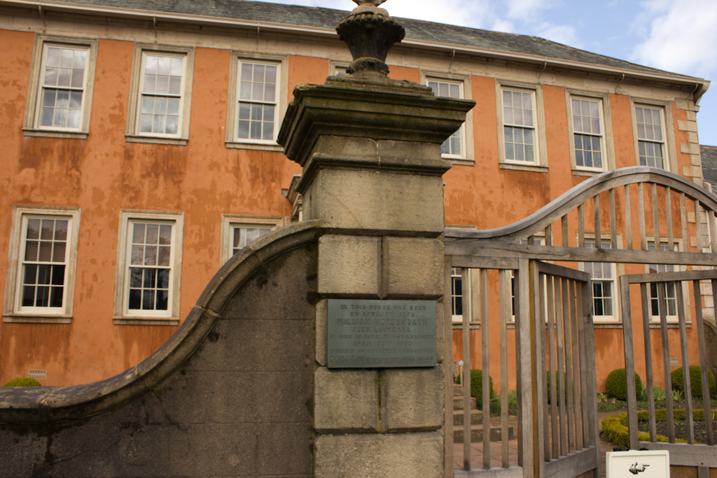
Wordsworth House

Wordsworth House is a Georgian townhouse situated in Cockermouth, Cumbria, England, and in the ownership of the National Trust. It was built in the mid...

Cockermouth Rural District

Cockermouth was a rural district in Cumberland, England, from 1894 to 1974. It was created by the Local Government Act 1894 based on Cockermouth rural...

Papcastle

Papcastle is a village and civil parish in the borough of Allerdale in the English county of Cumbria. The village is now effectively a northern extension...

Cockermouth United Reformed Church

Cockermouth United Reformed Church is a congregation first established at Cockermouth, England, in 1651. Originally known as Cockermouth Independent Church...

Cockermouth railway station

Cockermouth railway station was situated on the Cockermouth, Keswick and Penrith Railway and served the town of Cockermouth, Cumbria, England. The station...

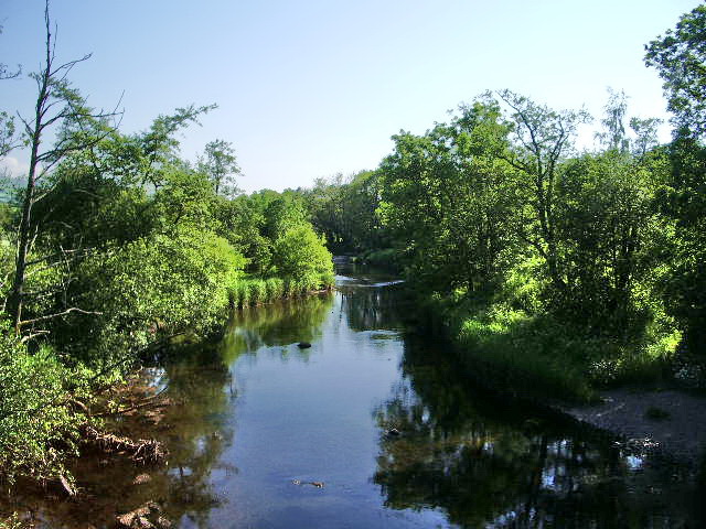
River Cocker, Cumbria

The River Cocker is a river in the Lake District in North West England, in the county of Cumbria. Its source is at the head of the Buttermere valley. It...

Jennings Brewery

Jennings Brewery was established as a family concern in 1828 in the village of Lorton, between Buttermere and Cockermouth in the Lake District, England...

Nearby Amenities

Located within 500m of 54.661392,-3.3811891
Barrier: cycle_barrier
Cycle Barrier: tilted
Lat/Long: 54.658704/-3.3809054
Mini Roundabout
Lat/Long: 54.6639858/-3.3759551
Turning Circle
Lat/Long: 54.660674/-3.3764942
Cafe
Tea Room
Lat/Long: 54.6648045/-3.3765136
Parking
Lat/Long: 54.6597184/-3.3826845
Post Box
Ref: CA13 81
Lat/Long: 54.6586552/-3.3763583
Harrot Hill
Place: suburb
Lat/Long: 54.6580245/-3.3784934
Parklands
Place: suburb
Lat/Long: 54.6601584/-3.3788731
Fitz Park
Place: locality
Lat/Long: 54.6636875/-3.3805178
The Moor
Place: suburb
Lat/Long: 54.6597005/-3.3744036
Natural: spring
Lat/Long: 54.6590448/-3.3868039
Moor Park
Place: suburb
Lat/Long: 54.6584598/-3.3798061
Cockermouth Junction
Railway: junction
Lat/Long: 54.6651252/-3.3816025
Cockermouth
Abandoned Railway: station
Railway: site
Wikidata: Q5139585
Wikipedia: en:Cockermouth railway station (Cockermouth and Workington Railway)
Lat/Long: 54.6644836/-3.3761145
Generator Method: photovoltaic
Generator Output Electricity: yes
Generator Source: solar
Generator Type: solar_photovoltaic_panel
Location: roof
Power: generator
Lat/Long: 54.6645488/-3.3769113
Generator Method: photovoltaic
Generator Output Electricity: yes
Generator Source: solar
Generator Type: solar_photovoltaic_panel
Location: roof
Power: generator
Lat/Long: 54.664524/-3.3768201
Generator Method: photovoltaic
Generator Output Electricity: yes
Generator Source: solar
Generator Type: solar_photovoltaic_panel
Location: roof
Power: generator
Lat/Long: 54.6645022/-3.3767342
Generator Method: photovoltaic
Generator Output Electricity: yes
Generator Source: solar
Generator Type: solar_photovoltaic_panel
Location: roof
Power: generator
Lat/Long: 54.6644774/-3.3766591
Generator Method: photovoltaic
Generator Output Electricity: yes
Generator Source: solar
Generator Type: solar_photovoltaic_panel
Location: roof
Power: generator
Lat/Long: 54.6644526/-3.3765572
Generator Method: photovoltaic
Generator Output Electricity: yes
Generator Source: solar
Generator Type: solar_photovoltaic_panel
Location: roof
Power: generator
Lat/Long: 54.6644324/-3.3764794
Generator Method: photovoltaic
Generator Output Electricity: yes
Generator Source: solar
Generator Type: solar_photovoltaic_panel
Location: roof
Power: generator
Lat/Long: 54.6644185/-3.3763855
Generator Method: photovoltaic
Generator Output Electricity: yes
Generator Source: solar
Generator Type: solar_photovoltaic_panel
Location: roof
Power: generator
Lat/Long: 54.6644014/-3.3763051
Generator Method: photovoltaic
Generator Output Electricity: yes
Generator Source: solar
Generator Type: solar_photovoltaic_panel
Location: roof
Power: generator
Lat/Long: 54.6643828/-3.37623
Generator Method: photovoltaic
Generator Output Electricity: yes
Generator Source: solar
Generator Type: solar_photovoltaic_panel
Location: roof
Power: generator
Lat/Long: 54.6631395/-3.3763045
Generator Method: photovoltaic
Generator Output Electricity: yes
Generator Source: solar
Generator Type: solar_photovoltaic_panel
Location: roof
Power: generator
Lat/Long: 54.6589288/-3.3778761
Generator Method: photovoltaic
Generator Output Electricity: yes
Generator Source: solar
Generator Type: solar_photovoltaic_panel
Location: roof
Power: generator
Lat/Long: 54.6589311/-3.3779364
Generator Method: photovoltaic
Generator Output Electricity: yes
Generator Source: solar
Generator Type: solar_photovoltaic_panel
Location: roof
Power: generator
Lat/Long: 54.6588711/-3.3783051
Power: pole
Lat/Long: 54.6594843/-3.3861225
Power: pole
Lat/Long: 54.6594925/-3.3849577
Power: pole
Lat/Long: 54.6595183/-3.3829544
Power: pole
Lat/Long: 54.6595124/-3.3821806
Power: pole
Lat/Long: 54.658807/-3.3839854
Power: pole
Lat/Long: 54.6578802/-3.3827011
Power: pole
Lat/Long: 54.6571267/-3.3816235
The data included in this document is from www.openstreetmap.org. The data is made available under ODbL.

Have you been to Fitz Woods?

Leave your review of Fitz Woods below (or comments, questions and feedback).