Fothergill Head

Landscape Feature in Cumberland Copeland

England

Fothergill Head

Murton Fell from Kelton Fell
Murton Fell from Kelton Fell Credit: David Purchase

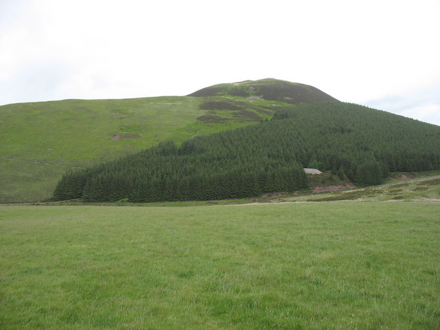
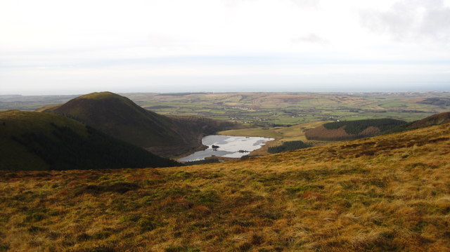
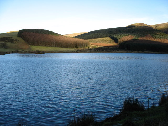
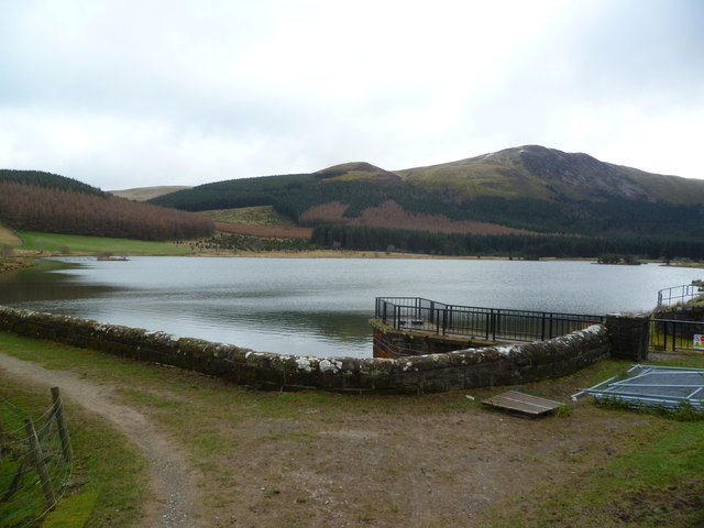
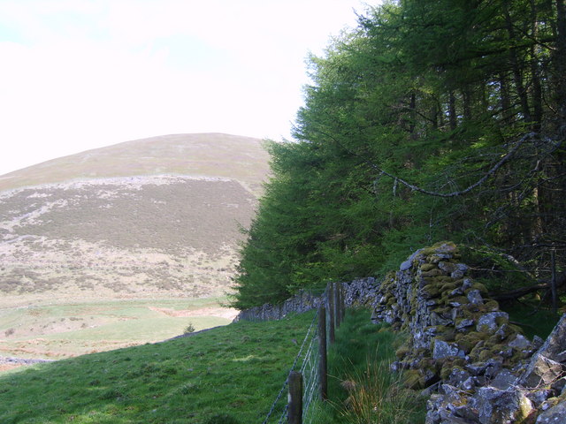
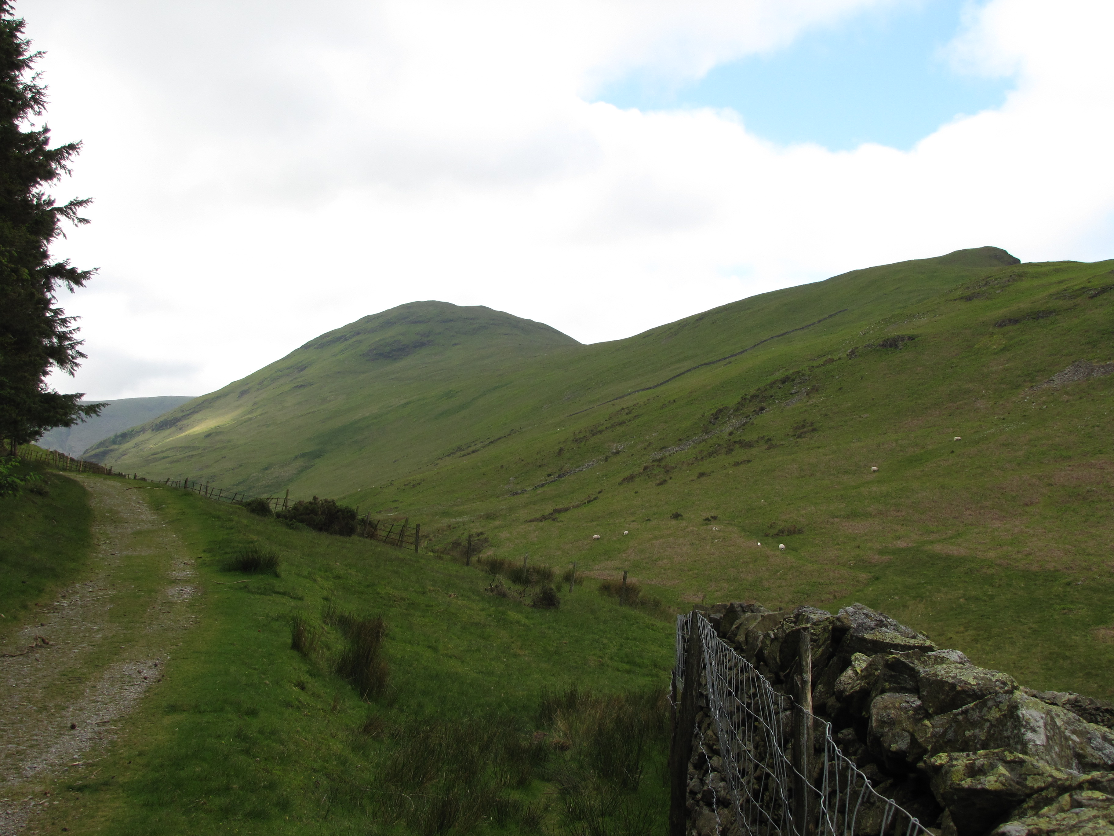
Fothergill Head is a prominent and distinctive landscape feature located in Cumberland, England. Situated in the northern part of the county, it is part of the larger Lake District National Park and is surrounded by picturesque natural beauty. Rising to an elevation of approximately 415 meters (1,361 feet), Fothergill Head offers stunning panoramic views of the surrounding countryside, including the nearby Ennerdale Water and Loweswater.

Characterized by its rugged and rocky terrain, Fothergill Head is composed of a mixture of slate and volcanic rock formations. Its unique geology provides a habitat for a variety of plant species, including heather and grasses, as well as mosses and lichens that thrive in the damp conditions. The area is also home to a diverse array of wildlife, including birds of prey such as buzzards and kestrels, along with various species of small mammals.

Fothergill Head is a popular destination for hikers and outdoor enthusiasts, who are drawn to its challenging but rewarding trails. The ascent to the summit offers a sense of accomplishment and rewards visitors with breathtaking views of the surrounding landscape. Additionally, the area is also frequented by birdwatchers, who come to observe the diverse avian species that inhabit the region.

Overall, Fothergill Head is a significant and visually striking landscape feature in Cumberland. Its natural beauty, geological diversity, and accessibility make it a popular destination for those seeking to immerse themselves in the stunning scenery of the Lake District National Park.

If you have any feedback on the listing, please let us know in the comments section below.

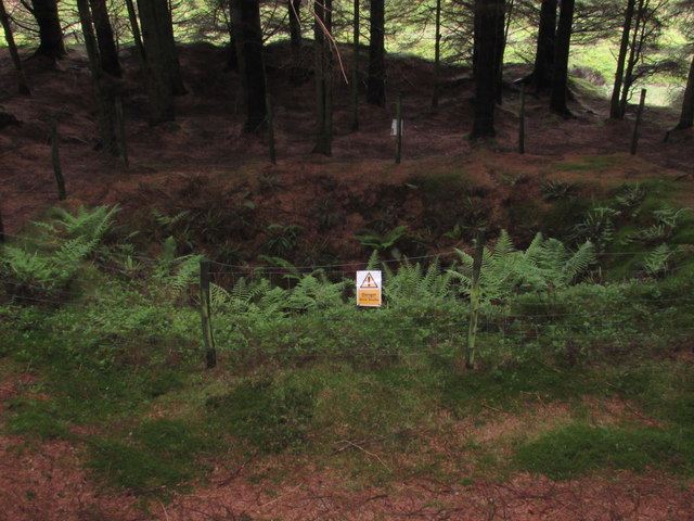
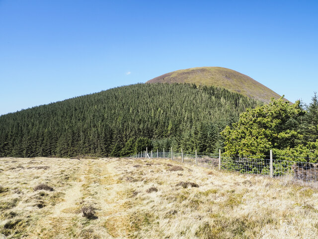
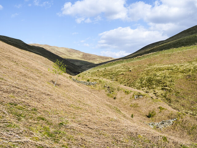
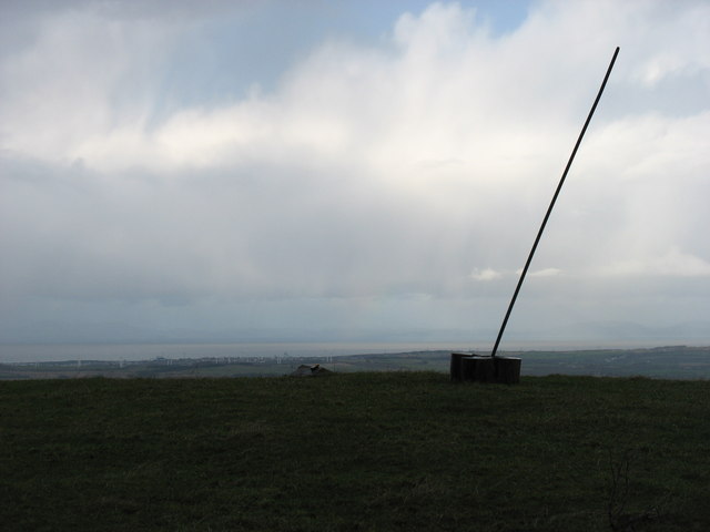
Fothergill Head Images

Images are sourced within 2km of 54.558822/-3.3744564 or Grid Reference NY1119. Thanks to Geograph Open Source API. All images are credited.
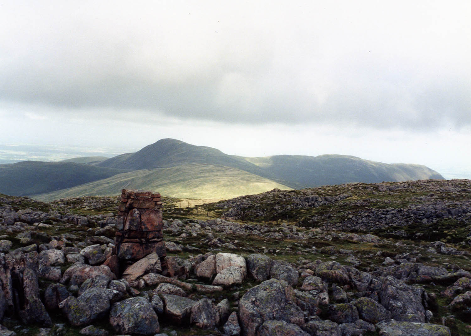
Murton Fell from Kelton Fell
Cogra Moss from Blake Fell
Murton Fell [Knock Murton] Via Harris Side from minor road on grey day.
Name: Murton Fell [Knock Murton]
Hill number: 2492
Height: 447m / 1467ft
Area: 34B: Lake District - Central & Western Fells
Class: Hu,sMa,B
Grid ref: NY 09485 19079
Summit feature: no feature: 2m from small narrow cairn
Drop: 141m
Col: 306m  NY098188
Murton Fell [Knock Murton]
Via Harris Side from minor road on grey day. Name: Murton Fell [Knock Murton] Hill number: 2492 Height: 447m / 1467ft Area: 34B: Lake District - Central & Western Fells Class: Hu,sMa,B Grid ref: NY 09485 19079 Summit feature: no feature: 2m from small narrow cairn Drop: 141m Col: 306m NY098188
Cogra Moss A former reservoir, now popular with fishermen.
Cogra Moss
A former reservoir, now popular with fishermen.
Cogra Moss Blake Fell in the distance
Cogra Moss
Blake Fell in the distance
Knockmurton No.1 Pit Old & deep mine shaft in the woods at Knockmurton. No.1 Pit would have had headgear and dressing floors as well as a mine office and a direct link to the mineral railway that took the ore down to the processing plants at Workington. 
The ore deposits were mostly in flats, and varied in thickness from a few feet to 40 fathoms although it often contained irregular but near vertical joints within the Haematite.
Knockmurton No.1 Pit
Old & deep mine shaft in the woods at Knockmurton. No.1 Pit would have had headgear and dressing floors as well as a mine office and a direct link to the mineral railway that took the ore down to the processing plants at Workington. The ore deposits were mostly in flats, and varied in thickness from a few feet to 40 fathoms although it often contained irregular but near vertical joints within the Haematite.
Island in Cogra Moss Reservoir The little hill is High Hows, 313m.
Island in Cogra Moss Reservoir
The little hill is High Hows, 313m.
Looking across Cogra Moss to Sharp Knott, Lamplugh
Fishing in Cogra Moss Cogra Moss is a small reservoir at the west side of the Lake District. It was created by the damming of Rakegill Beck in around 1880; apparently it no longer acts as a water supply but is used by Cockermouth Fishing Association for leisure fishing.
Blake Fell is the larger hill across the water; Sharp Knott lies to the left of it.
Fishing in Cogra Moss
Cogra Moss is a small reservoir at the west side of the Lake District. It was created by the damming of Rakegill Beck in around 1880; apparently it no longer acts as a water supply but is used by Cockermouth Fishing Association for leisure fishing. Blake Fell is the larger hill across the water; Sharp Knott lies to the left of it.
Trees on slope of Knock Murton Knock Murton is a steeply domed hill on the western edge of the Lake District encircled by trees on its lower slopes to the north, east and south.
Trees on slope of Knock Murton
Knock Murton is a steeply domed hill on the western edge of the Lake District encircled by trees on its lower slopes to the north, east and south.
Curious rows of rocks on hill slope The groove in which the two rows of rocks are found is not the main line of drainage in the valley of Croasdale Beck but a lesser one on the north side. The rows have the appearance of small dams but that seems unlikely  as there are gaps among the rocks which would allow water through.
Curious rows of rocks on hill slope
The groove in which the two rows of rocks are found is not the main line of drainage in the valley of Croasdale Beck but a lesser one on the north side. The rows have the appearance of small dams but that seems unlikely as there are gaps among the rocks which would allow water through.
The summit of High Hows There is now a more conspicuous marker at the summit than was shown in earlier photographs!
The summit of High Hows
There is now a more conspicuous marker at the summit than was shown in earlier photographs!
Fence across summit of Burnbank Fell Dull day for a walk.
Fence across summit of Burnbank Fell
Dull day for a walk.
A solitary stone marks the top of High Hows Knock Murton in the background.
A solitary stone marks the top of High Hows
Knock Murton in the background.
Forest Track In the plantation above Cogra Moss. High Hows beyond the trees.
Forest Track
In the plantation above Cogra Moss. High Hows beyond the trees.
High Hows The top of this fell is a field just west of the plantation at Cogra Moss
High Hows
The top of this fell is a field just west of the plantation at Cogra Moss
Forest Edge Cogra Moss Plantation. Looking back towards Owsen Fell from near the top of High Hows
Forest Edge
Cogra Moss Plantation. Looking back towards Owsen Fell from near the top of High Hows
On High Hows West Cumberland Plain in shot
On High Hows
West Cumberland Plain in shot
Show me another place!

Fothergill Head is located at Grid Ref: NY1119 (Lat: 54.558822, Lng: -3.3744564)

Administrative County: Cumbria

District: Copeland

Police Authority: Cumbria

What 3 Words

///fear.outermost.amplifier. Near Frizington, Cumbria

Related Wikis

Blake Fell

Blake Fell is a hill in the Western part of the English Lake District. It is the highest point of the Loweswater Fells, an area of low grassy hills with...

Gavel Fell

Gavel Fell is a hill in the English Lake District. Centremost of the five Loweswater Fells in the western part of the District, it stands between Hen Comb...

Knock Murton

Knock Murton or Murton Fell is a hill of 464.4 metres (1,524 ft) in the north west of the Lake District, England. It lies in the Borough of Copeland in...

Cogra Moss

Cogra Moss is a shallow reservoir to the east of the village of Lamplugh on the western edge of the English Lake District. It was created by the damming...

Burnbank Fell

Burnbank Fell is a small hill in the west of the English Lake District. It is the most westerly of the Loweswater Fells, a group of low grassy hills just...

Hen Comb

Hen Comb is a fell in the west of the English Lake District. One of the Loweswater Fells it lies to the south of Loweswater lake and Loweswater village...

Loweswater

Loweswater is one of the smaller lakes in the English Lake District. The village of Loweswater is situated to the east of the lake. == Geography == The...

St Michael, Lamplugh

St Michael is in Lamplugh, Cumbria, England. It is an active Anglican parish church in the deanery of Calder, and the diocese of Carlisle. Its benefice...

Nearby Amenities

Located within 500m of 54.558822,-3.3744564
Fothergill Head
Place: locality
Lat/Long: 54.5593215/-3.3776439
High Pen
Ele: 475
Natural: peak
Lat/Long: 54.5578025/-3.3767326
Barrier: stile
Lat/Long: 54.5597036/-3.3726288
Barrier: stile
Lat/Long: 54.559669/-3.3726681
Barrier: stile
Lat/Long: 54.5585229/-3.3699873
Description: Boundary Marker
Natural: stone
Lat/Long: 54.5570924/-3.3792454
The data included in this document is from www.openstreetmap.org. The data is made available under ODbL.

Have you been to Fothergill Head?

Leave your review of Fothergill Head below (or comments, questions and feedback).