Owsen Fell

Downs, Moorland in Cumberland Copeland

England

Owsen Fell

The road near High Millgillhead
The road near High Millgillhead Credit: David Medcalf

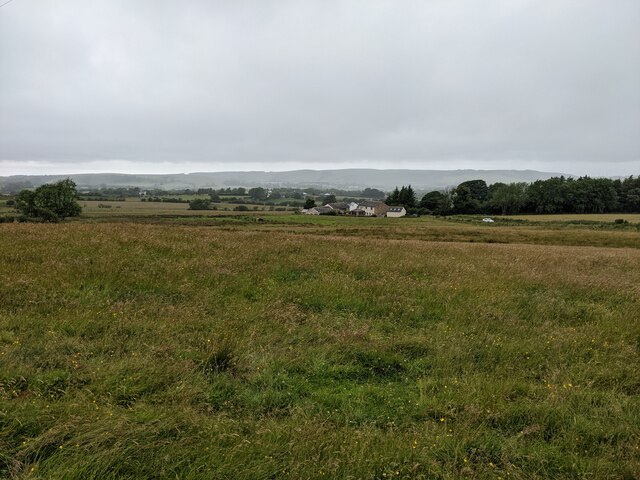
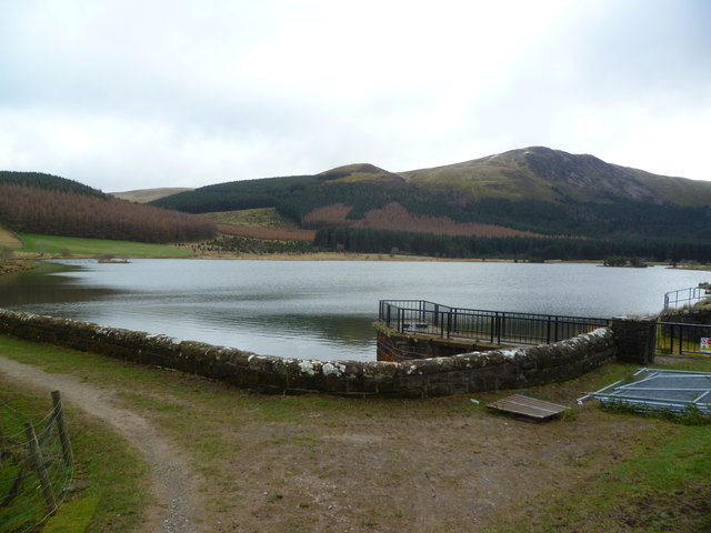
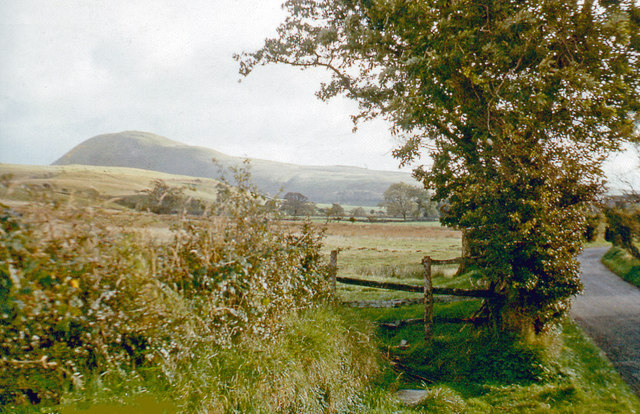
Owsen Fell is a picturesque area located in the county of Cumberland, England. Situated amidst the stunning landscape of the Lake District National Park, Owsen Fell offers visitors a unique blend of downs and moorland scenery.

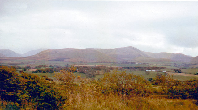
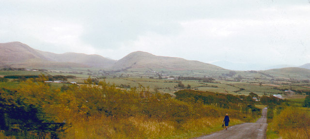
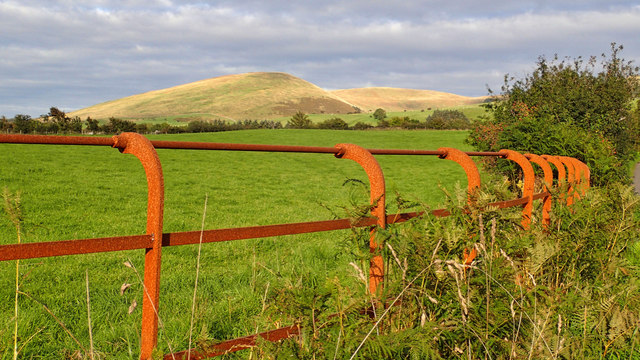
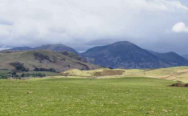
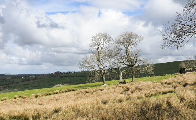
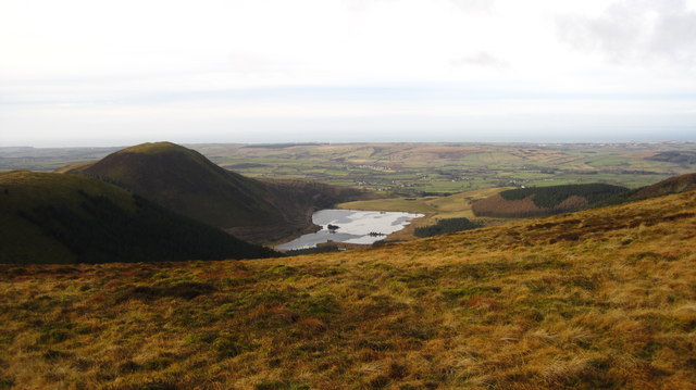
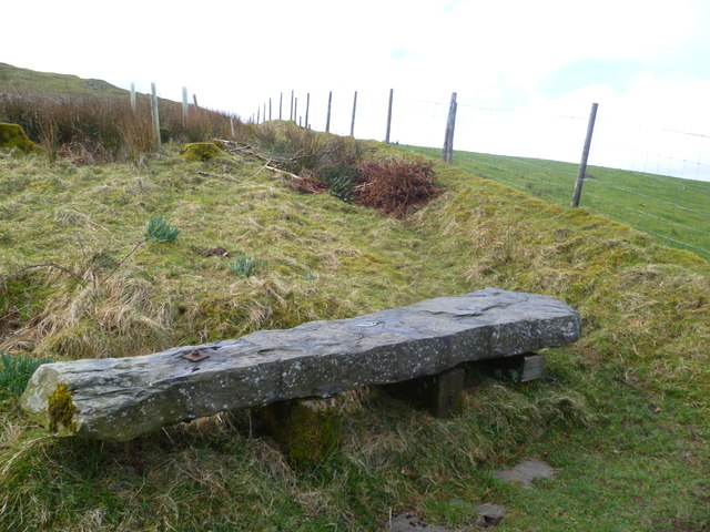
The area is characterized by its rolling hills, lush green meadows, and expanses of heather-covered moorland. The fells provide breathtaking panoramic views of the surrounding countryside, making it a popular destination for hikers and nature enthusiasts.

Owsen Fell is home to a diverse range of flora and fauna, with rare species such as red squirrels, kestrels, and curlews found in abundance. The area also boasts an array of vibrant wildflowers, including purple heather, yellow gorse, and white cotton grass, adding to its natural beauty.

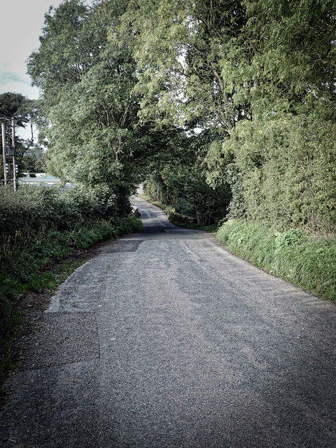
Visitors to Owsen Fell can enjoy a variety of outdoor activities, including walking, cycling, and birdwatching. There are numerous well-marked trails and paths that cater to all levels of fitness, allowing visitors to explore the area at their own pace.

Additionally, Owsen Fell offers a tranquil and serene environment, providing a perfect escape from the hustle and bustle of city life. The area boasts a sense of peace and tranquility, making it an ideal spot for those seeking solitude and relaxation.

In conclusion, Owsen Fell in Cumberland is a captivating destination for nature lovers, offering a stunning combination of downs and moorland landscapes. With its diverse wildlife, breathtaking views, and range of outdoor activities, Owsen Fell is a must-visit location for anyone looking to experience the beauty of the Lake District National Park.

If you have any feedback on the listing, please let us know in the comments section below.
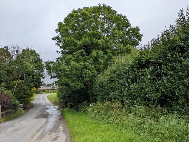
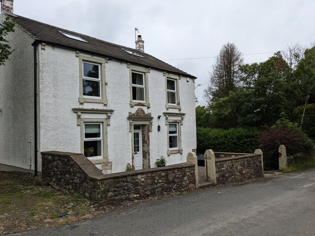
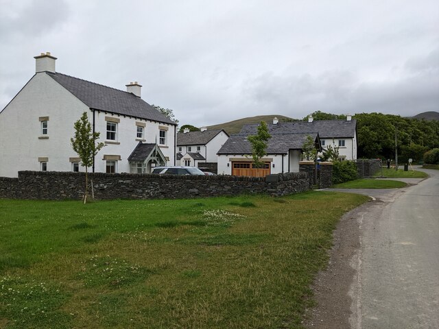
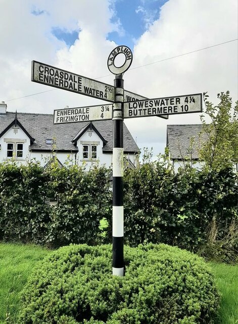
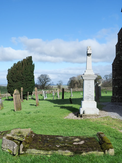
Owsen Fell Images

Images are sourced within 2km of 54.577706/-3.3955765 or Grid Reference NY0921. Thanks to Geograph Open Source API. All images are credited.

The road near High Millgillhead
A house at High Millgillhead
Houses at Fitz Bridge
Direction Sign – Signpost at Fitz Bridge, Lamplugh Located on the west side of the road in front of new houses at Fitz Bridge in Lamplugh parish. 4 arms and annulus finial.

Milestone Society National ID: CU_NY0820
Direction Sign – Signpost at Fitz Bridge, Lamplugh
Located on the west side of the road in front of new houses at Fitz Bridge in Lamplugh parish. 4 arms and annulus finial. Milestone Society National ID: CU_NY0820
Loweswater Fells, from Lamplugh, 1966 View ENE from by Lamplugh Hall, to Blake Fell (highest at 1,880 ft.).
Loweswater Fells, from Lamplugh, 1966
View ENE from by Lamplugh Hall, to Blake Fell (highest at 1,880 ft.).
Lamplugh Fells from near Lamplugh, 1966 View SSE near Dockray Nook to Blake Fell (1,880 ft.) on left, Murton Fell (1,463 ft.) in centre; Cogra Moss is just visible.
Lamplugh Fells from near Lamplugh, 1966
View SSE near Dockray Nook to Blake Fell (1,880 ft.) on left, Murton Fell (1,463 ft.) in centre; Cogra Moss is just visible.
Approaching Stegcroft Bridge
Iron fencing near Felldyke
War memorial at Lamplugh The small settlement at Lamplugh is at the western edge of the Lake District National Park. Much of the village lies just within the park boundary; its church, St. Michael's, lies outside.
The war memorial stands at the west end of the church; it has clearly been cleaned since Matthew Hatton photographed it in May 2014 - <a title="https://www.geograph.org.uk/photo/4019954" href="https://www.geograph.org.uk/photo/4019954">Link</a>.
War memorial at Lamplugh
The small settlement at Lamplugh is at the western edge of the Lake District National Park. Much of the village lies just within the park boundary; its church, St. Michael's, lies outside. The war memorial stands at the west end of the church; it has clearly been cleaned since Matthew Hatton photographed it in May 2014 - Link.
Field on south side of minor road The field is on the south side of the road connecting the small village of Mockerkin with Loweswater, on Mockerkin How.
Hills of the North-Western Fells of the Lake District are in the distance; Grasmoor is the most prominent.
Field on south side of minor road
The field is on the south side of the road connecting the small village of Mockerkin with Loweswater, on Mockerkin How. Hills of the North-Western Fells of the Lake District are in the distance; Grasmoor is the most prominent.
Trees and rushes in field The field is below a minor road on the north-western slope of Oswen Fell.
Trees and rushes in field
The field is below a minor road on the north-western slope of Oswen Fell.
The gate to Felldyke Bunkhouse
Looking across the field to High Trees
Cogra Moss from Blake Fell
Cogra Moss A former reservoir, now popular with fishermen.
Cogra Moss
A former reservoir, now popular with fishermen.
Seat above Felldyke A massive gatepost has been recycled.
Seat above Felldyke
A massive gatepost has been recycled.
Cogra Moss Blake Fell in the distance
Cogra Moss
Blake Fell in the distance
Towards Murton Fell from Lamplugh, 1966 View southwards from Lamplugh - Feltwell - Loweswater road.
Towards Murton Fell from Lamplugh, 1966
View southwards from Lamplugh - Feltwell - Loweswater road.
Show me another place!

Owsen Fell is located at Grid Ref: NY0921 (Lat: 54.577706, Lng: -3.3955765)

Administrative County: Cumbria

District: Copeland

Police Authority: Cumbria

What 3 Words

///flaking.validated.downfield. Near Frizington, Cumbria

Related Wikis

Lamplugh

Lamplugh () is a scattered community and civil parish located in West Cumbria on the edge of the English Lake District and historically part of Cumberland...

St Michael, Lamplugh

St Michael is in Lamplugh, Cumbria, England. It is an active Anglican parish church in the deanery of Calder, and the diocese of Carlisle. Its benefice...

Burnbank Fell

Burnbank Fell is a small hill in the west of the English Lake District. It is the most westerly of the Loweswater Fells, a group of low grassy hills just...
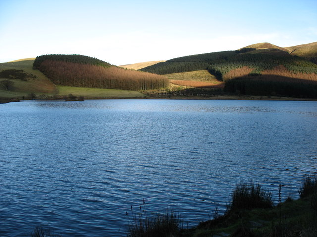
Cogra Moss

Cogra Moss is a shallow reservoir to the east of the village of Lamplugh on the western edge of the English Lake District. It was created by the damming...

Nearby Amenities

Located within 500m of 54.577706,-3.3955765
Owsen Fell
Ele: 408
Natural: peak
Lat/Long: 54.5759473/-3.3931451
The data included in this document is from www.openstreetmap.org. The data is made available under ODbL.

Have you been to Owsen Fell?

Leave your review of Owsen Fell below (or comments, questions and feedback).