Slape Moor
Downs, Moorland in Somerset Somerset West and Taunton
England
Slape Moor

Slape Moor, located in Somerset, England, is a picturesque area known for its diverse landscape of downs and moorland. Spanning an area of approximately 3 square miles, Slape Moor offers visitors a unique experience of natural beauty and tranquility.
The downs of Slape Moor are characterized by their rolling hills and open grasslands, providing a stunning backdrop for outdoor activities such as hiking and picnicking. The moorland, on the other hand, is a more rugged and wild terrain, marked by heather, gorse, and scattered pools of water. This contrasting landscape adds to the charm and diversity of Slape Moor.
Rich in flora and fauna, Slape Moor provides a habitat for a variety of wildlife species. Birdwatchers can spot a range of avian creatures, including skylarks, curlews, and peregrine falcons, while the moorland is home to reptiles such as adders and grass snakes. The area also boasts a range of plant life, with heather, bilberry, and cotton grass being prominent.
Slape Moor has a rich cultural heritage as well. The remnants of ancient settlements, including burial mounds and stone circles, can be found throughout the area, offering a glimpse into the past. Visitors can also explore the nearby village of Slape, which retains its traditional charm with its thatched cottages and historic buildings.
Overall, Slape Moor is a hidden gem in Somerset, offering a peaceful retreat for nature enthusiasts and history buffs alike. Its diverse landscape, vibrant wildlife, and cultural significance make it a must-visit destination for those seeking a connection with nature and a deeper understanding of the region's heritage.
If you have any feedback on the listing, please let us know in the comments section below.
Slape Moor Images
Images are sourced within 2km of 51.036989/-3.2855442 or Grid Reference ST0927. Thanks to Geograph Open Source API. All images are credited.


Slape Moor is located at Grid Ref: ST0927 (Lat: 51.036989, Lng: -3.2855442)
Administrative County: Somerset
District: Somerset West and Taunton
Police Authority: Avon and Somerset
What 3 Words
///printout.rooster.rescuer. Near Wiveliscombe, Somerset
Nearby Locations
Related Wikis

King's Castle, Wiveliscombe
King's Castle is an Iron Age Hillfort 1 kilometre (0.62 mi) east of Wiveliscombe in Somerset, England. It is surrounded by two banks with a ditch between...

Holme Moor & Clean Moor
Holme Moor & Clean Moor (grid reference ST095260) is a 10.8 hectare (26.7 acre) biological Site of Special Scientific Interest south of Wiveliscombe in...

Kingsmead School, Wiveliscombe
Kingsmead School (KS) is a coeducational state school in Wiveliscombe, Somerset, England, serving the north-west of Taunton Deane district. It had 804...

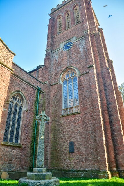
Church of St Andrew, Wiveliscombe
The Church Of St Andrew in Wiveliscombe, Somerset, England was built in 1829. It is a Grade II* listed building. == History == The church was built by...

Fitzhead
Fitzhead is a village and civil parish in Somerset, England, situated approximately 6 miles (9.7 km) north west of Taunton. The village has an estimated...
Wiveliscombe
Wiveliscombe (, locally ) is a town and civil parish in Somerset, England, situated 9 miles (14 km) west of Taunton. The town has a population of 2,893...
Church of St James the Great, Fitzhead
The Anglican Church of St James the Great in Fitzhead, Somerset, England was built in the 15th century. It is a Grade II* listed building. == History... ==
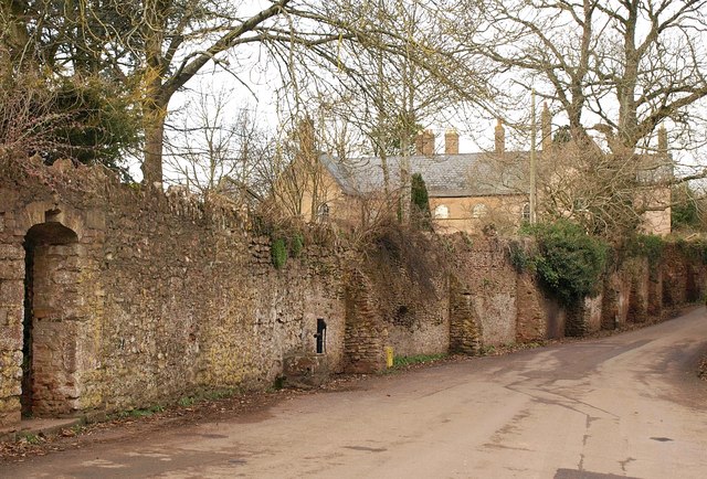
Fitzhead Court and The Manor
Fitzhead Court and The Manor in Fitzhead, Somerset, England was built in the late 16th century and has now been split into two buildings. It is a Grade...
Related Videos

Holiday
M.
Walking along Jew’s Lane to Wiveliscombe
In portrait? Really? Yes. When walking it actually makes more sense to me now - my eyes look mainly ahead and down, I'm ...

India in a Jar with a Dash of Devon team by Chef Collin Pereira spiced up the Milverton Street Fair
Indiainajar spiced up the #milverton Street Fair during the first Bank Holiday Monday of May. #somerset #wellington #bankholiday ...

English City vs Town vs Village Definitions #england #britain #britishculture
I have discovered that British people are very particular about the designation of the place they live, be it village or town or city.
Nearby Amenities
Located within 500m of 51.036989,-3.2855442Have you been to Slape Moor?
Leave your review of Slape Moor below (or comments, questions and feedback).