Thackmoor Wood

Wood, Forest in Cumberland Copeland

England

Thackmoor Wood

Houses at High House
Houses at High House Credit: David Medcalf

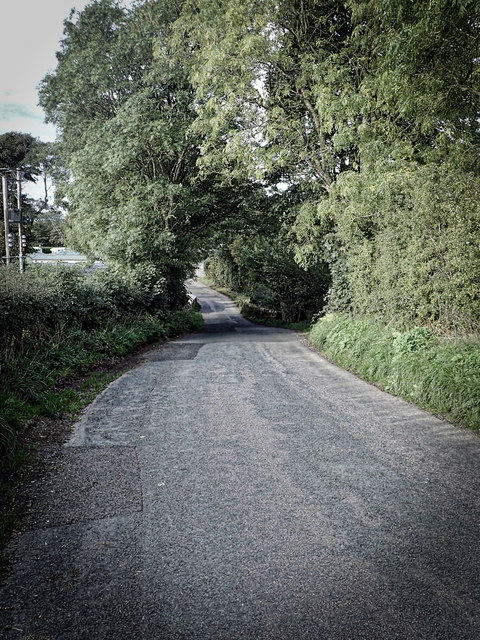
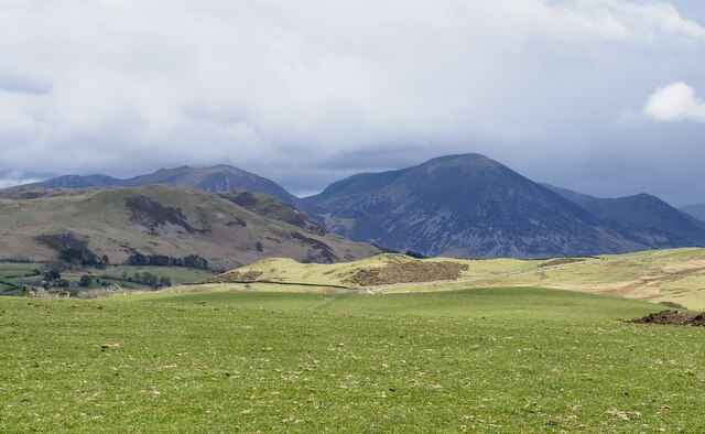
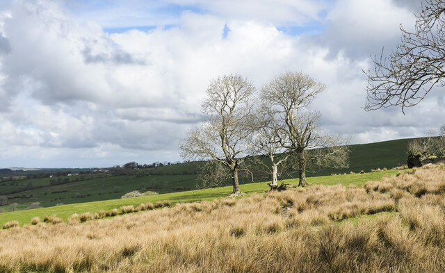
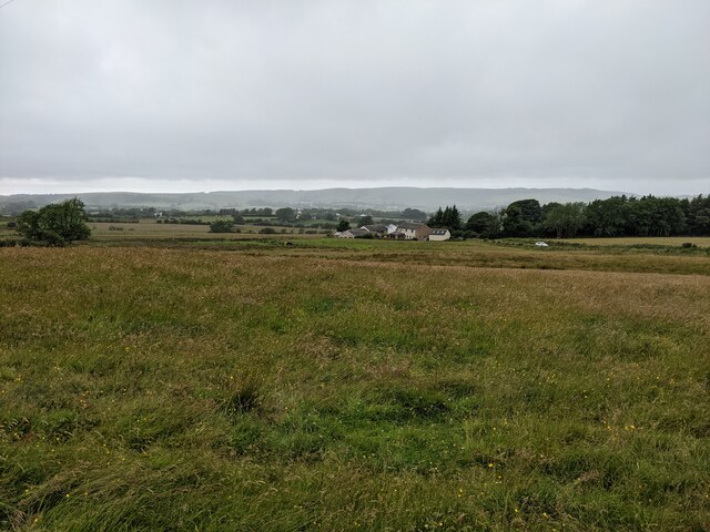
Thackmoor Wood is a picturesque forest located in the county of Cumberland, in the northwest region of England. This enchanting woodland covers an area of approximately 100 acres and is renowned for its natural beauty and diverse ecosystem.

The forest is characterized by a mix of towering oak, beech, and ash trees, which provide a dense canopy that filters the sunlight, creating a serene and peaceful atmosphere. The forest floor is covered with a lush carpet of moss, ferns, and wildflowers, adding to its ethereal charm.

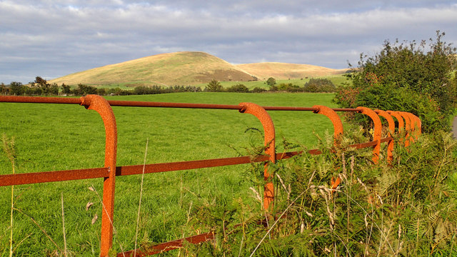
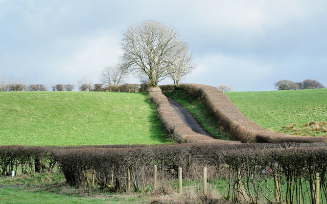
Thackmoor Wood is a haven for wildlife, offering a sanctuary for a variety of animal species. Visitors may encounter roe deer, foxes, badgers, and an array of bird species, including woodpeckers, owls, and thrushes. The forest also supports a wide range of insects and small mammals, contributing to the overall biodiversity of the area.

The woodland features several well-maintained walking trails that meander through its enchanting scenery, providing visitors with opportunities for leisurely strolls, nature photography, and birdwatching. These paths are easily accessible and suitable for all ages and fitness levels, making Thackmoor Wood an ideal destination for families and nature enthusiasts.

Thackmoor Wood is a cherished local asset, offering a tranquil escape from the hustle and bustle of everyday life. Its natural beauty and abundant wildlife make it a popular destination for nature lovers, hikers, and those seeking a peaceful retreat in the heart of the picturesque Cumberland countryside.

If you have any feedback on the listing, please let us know in the comments section below.

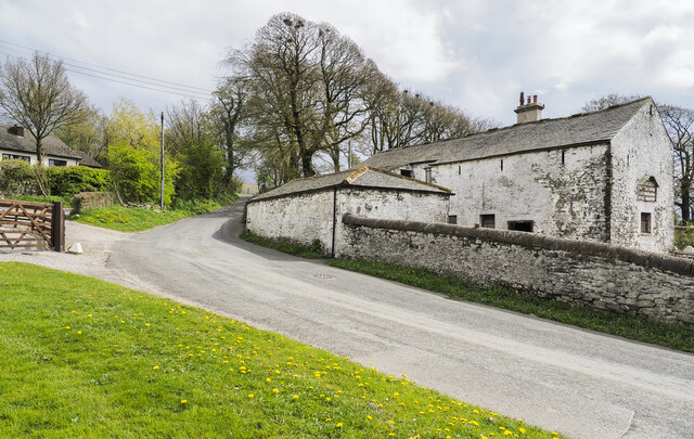
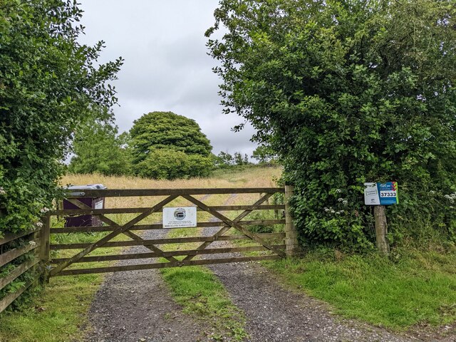
Thackmoor Wood Images

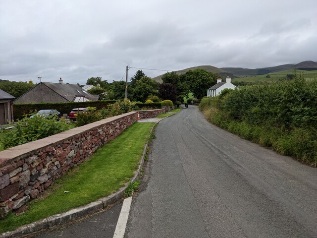
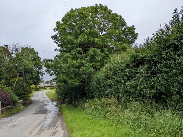
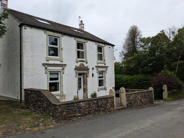
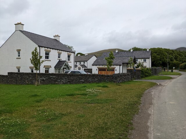
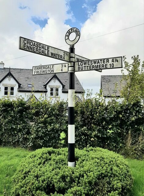
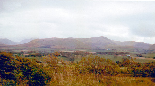
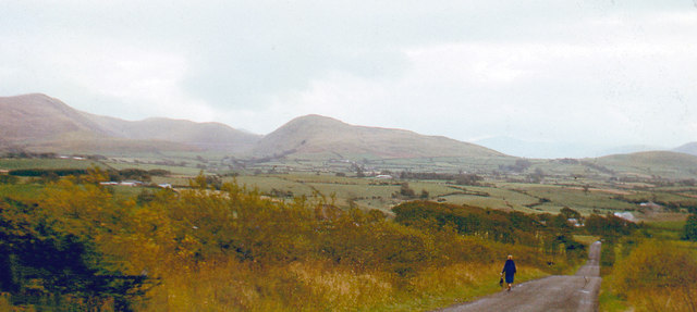
Images are sourced within 2km of 54.577601/-3.4045929 or Grid Reference NY0921. Thanks to Geograph Open Source API. All images are credited.

Houses at High House
The road near High Millgillhead
A house at High Millgillhead
Houses at Fitz Bridge
Direction Sign – Signpost at Fitz Bridge, Lamplugh Located on the west side of the road in front of new houses at Fitz Bridge in Lamplugh parish. 4 arms and annulus finial.

Milestone Society National ID: CU_NY0820
Direction Sign – Signpost at Fitz Bridge, Lamplugh
Located on the west side of the road in front of new houses at Fitz Bridge in Lamplugh parish. 4 arms and annulus finial. Milestone Society National ID: CU_NY0820
Old Boundary Marker on Crossgates Bridge Township Boundary Marker at the north end of the east parapet of Crossgates Bridge. On the former boundary of Murton and Lamplugh townships but now entirely in Lamplugh parish.

Milestone Society National ID: CU_LAMP07pb
Old Boundary Marker on Crossgates Bridge
Township Boundary Marker at the north end of the east parapet of Crossgates Bridge. On the former boundary of Murton and Lamplugh townships but now entirely in Lamplugh parish. Milestone Society National ID: CU_LAMP07pb
Loweswater Fells, from Lamplugh, 1966 View ENE from by Lamplugh Hall, to Blake Fell (highest at 1,880 ft.).
Loweswater Fells, from Lamplugh, 1966
View ENE from by Lamplugh Hall, to Blake Fell (highest at 1,880 ft.).
Lamplugh Fells from near Lamplugh, 1966 View SSE near Dockray Nook to Blake Fell (1,880 ft.) on left, Murton Fell (1,463 ft.) in centre; Cogra Moss is just visible.
Lamplugh Fells from near Lamplugh, 1966
View SSE near Dockray Nook to Blake Fell (1,880 ft.) on left, Murton Fell (1,463 ft.) in centre; Cogra Moss is just visible.
Approaching Stegcroft Bridge
Iron fencing near Felldyke
Severely trimmed hedges Hedges alongside the A5086 near to Snary Bridge and a minor road heading towards Mockerkin: clearly 'mown'.
Severely trimmed hedges
Hedges alongside the A5086 near to Snary Bridge and a minor road heading towards Mockerkin: clearly 'mown'.
War memorial at Lamplugh The small settlement at Lamplugh is at the western edge of the Lake District National Park. Much of the village lies just within the park boundary; its church, St. Michael's, lies outside.
The war memorial stands at the west end of the church; it has clearly been cleaned since Matthew Hatton photographed it in May 2014 - <a title="https://www.geograph.org.uk/photo/4019954" href="https://www.geograph.org.uk/photo/4019954">Link</a>.
War memorial at Lamplugh
The small settlement at Lamplugh is at the western edge of the Lake District National Park. Much of the village lies just within the park boundary; its church, St. Michael's, lies outside. The war memorial stands at the west end of the church; it has clearly been cleaned since Matthew Hatton photographed it in May 2014 - Link.
Field on south side of minor road The field is on the south side of the road connecting the small village of Mockerkin with Loweswater, on Mockerkin How.
Hills of the North-Western Fells of the Lake District are in the distance; Grasmoor is the most prominent.
Field on south side of minor road
The field is on the south side of the road connecting the small village of Mockerkin with Loweswater, on Mockerkin How. Hills of the North-Western Fells of the Lake District are in the distance; Grasmoor is the most prominent.
Road climbing out of Mockerkin The road is climbing past a barn at what seems to be Beech Farm.
Road climbing out of Mockerkin
The road is climbing past a barn at what seems to be Beech Farm.
Trees and rushes in field The field is below a minor road on the north-western slope of Oswen Fell.
Trees and rushes in field
The field is below a minor road on the north-western slope of Oswen Fell.
The gate to Felldyke Bunkhouse
Looking across the field to High Trees
Cogra Moss from Blake Fell
Show me another place!

Thackmoor Wood is located at Grid Ref: NY0921 (Lat: 54.577601, Lng: -3.4045929)

Administrative County: Cumbria

District: Copeland

Police Authority: Cumbria

What 3 Words

///petulant.deflate.flagging. Near Frizington, Cumbria

Related Wikis

Lamplugh

Lamplugh () is a scattered community and civil parish located in West Cumbria on the edge of the English Lake District and historically part of Cumberland...

St Michael, Lamplugh

St Michael is in Lamplugh, Cumbria, England. It is an active Anglican parish church in the deanery of Calder, and the diocese of Carlisle. Its benefice...
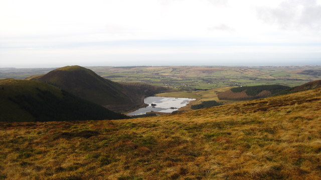
Cogra Moss

Cogra Moss is a shallow reservoir to the east of the village of Lamplugh on the western edge of the English Lake District. It was created by the damming...

Crossgates, Cumbria

Crossgates is a hamlet in Cumbria, England. It is located just to the northeast of Asby. == References ==

Burnbank Fell

Burnbank Fell is a small hill in the west of the English Lake District. It is the most westerly of the Loweswater Fells, a group of low grassy hills just...

Mockerkin

Mockerkin is a settlement in the English county of Cumbria. Historically part of Cumberland, it is situated just outside the Lake District National Park...

Knock Murton

Knock Murton or Murton Fell is a hill of 464.4 metres (1,524 ft) in the north west of the Lake District, England. It lies in the Borough of Copeland in...

Blake Fell

Blake Fell is a hill in the Western part of the English Lake District. It is the highest point of the Loweswater Fells, an area of low grassy hills with...

Nearby Amenities

Located within 500m of 54.577601,-3.4045929
Lamplugh
Place: village
Source: npe
Wikidata: Q2418267
Wikipedia: en:Lamplugh
Lat/Long: 54.5749046/-3.409506
Post Box
Ref: CA14 29
Lat/Long: 54.5762133/-3.4104814
Ford: yes
Lat/Long: 54.5735993/-3.4073982
Barrier: stile
Lat/Long: 54.5737438/-3.4071863
Barrier: water_gate
Lat/Long: 54.5735755/-3.4073272
Power: pole
Lat/Long: 54.5754733/-3.4113054
Power: pole
Lat/Long: 54.5772779/-3.4110097
Power: pole
Lat/Long: 54.5779765/-3.4116295
The data included in this document is from www.openstreetmap.org. The data is made available under ODbL.

Have you been to Thackmoor Wood?

Leave your review of Thackmoor Wood below (or comments, questions and feedback).