Moss Side Wood
Wood, Forest in Cumberland Copeland
England
Moss Side Wood
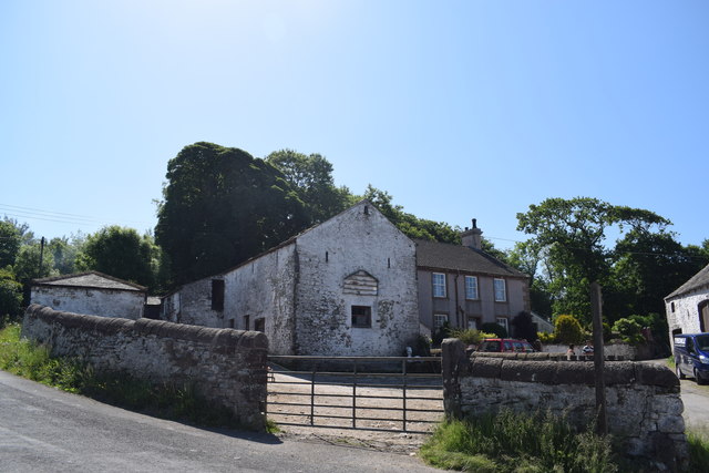
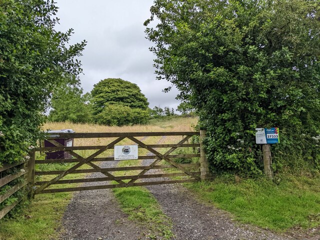
Moss Side Wood is a picturesque forest located in the county of Cumberland, England. Covering an area of approximately 100 acres, this wood is renowned for its natural beauty and diverse flora and fauna. The wood is situated just a few miles outside the town of Keswick, making it easily accessible for visitors.
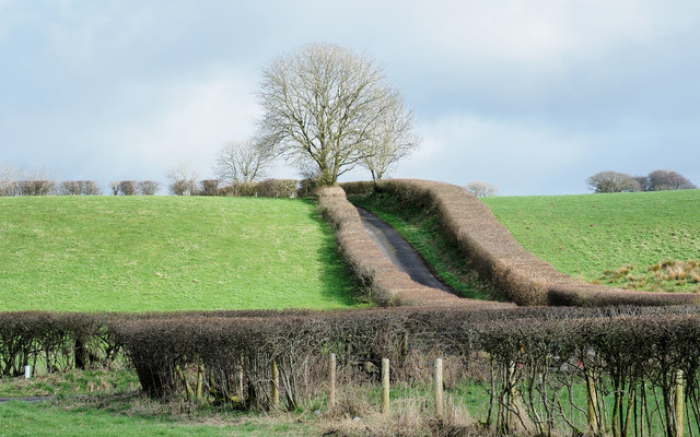
The forest is predominantly made up of native deciduous trees such as oak, beech, and birch, which create a stunning canopy of green during the summer months. The woodland floor is adorned with a carpet of wildflowers, including bluebells, primroses, and wood anemones, adding bursts of color to the landscape.
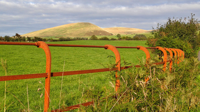
Moss Side Wood is a haven for wildlife enthusiasts, as it provides a habitat for a variety of animals. Roe deer can often be spotted grazing amongst the trees, and red squirrels can be seen scurrying along the branches. Birdwatchers will be delighted by the numerous species that inhabit the wood, including woodpeckers, buzzards, and owls.
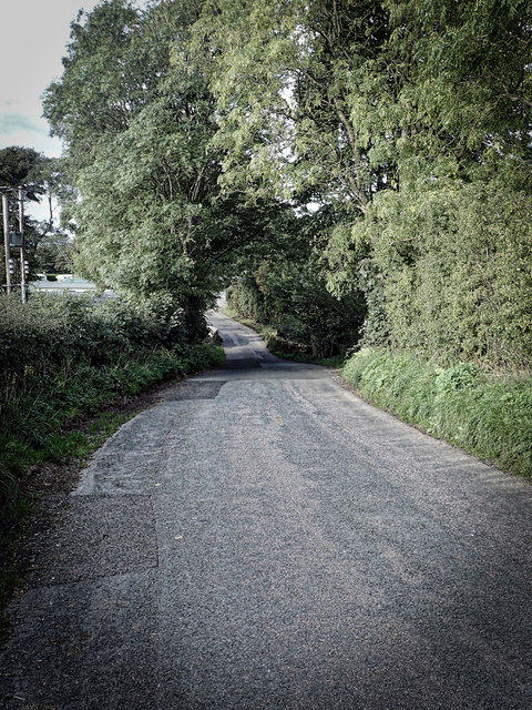
The forest is crisscrossed with well-maintained footpaths, allowing visitors to explore the wood at their own pace. There are also designated picnic areas and benches dotted throughout the forest, providing the perfect spot for visitors to relax and enjoy the tranquil surroundings.
Moss Side Wood is not only a popular destination for nature lovers but also for photographers, artists, and those seeking a peaceful retreat. Its natural beauty and abundant wildlife make it a must-visit location for anyone visiting Cumberland.
If you have any feedback on the listing, please let us know in the comments section below.
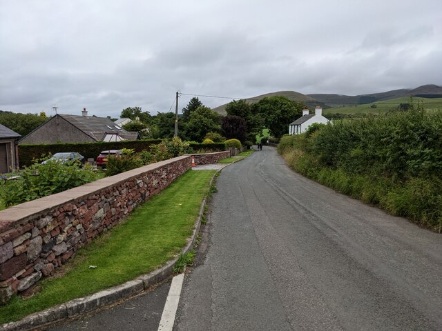
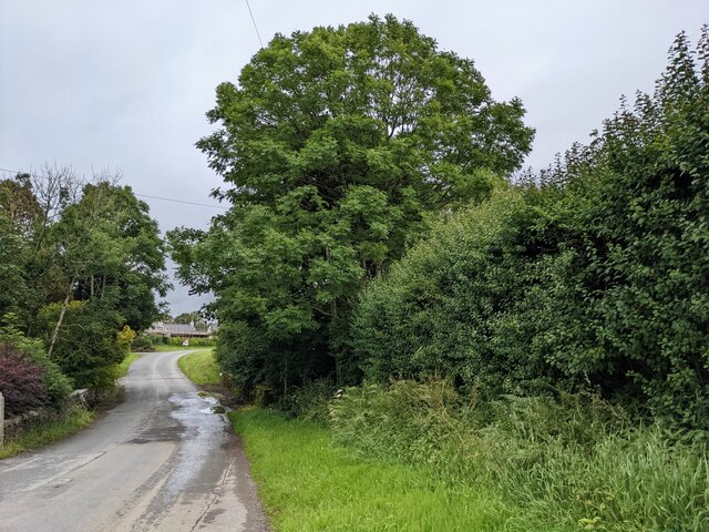
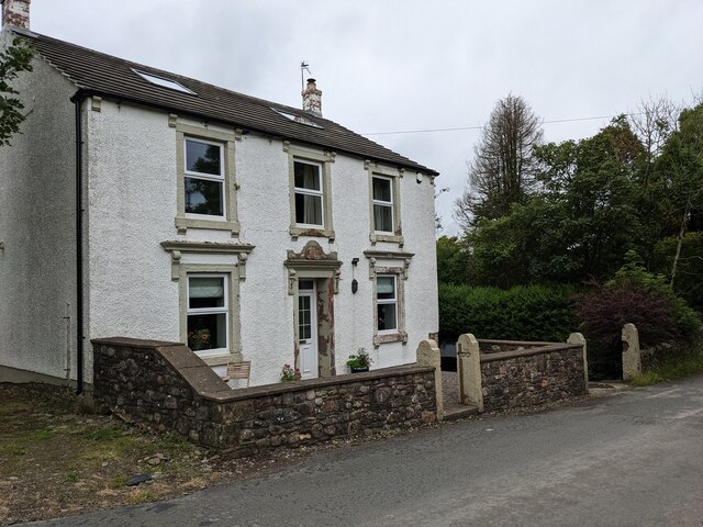
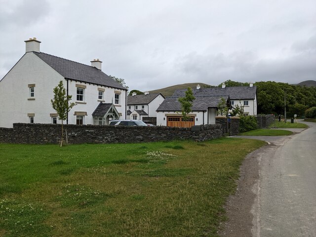
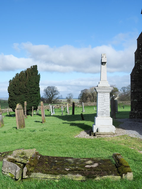
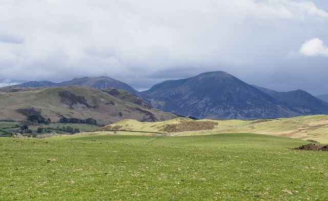
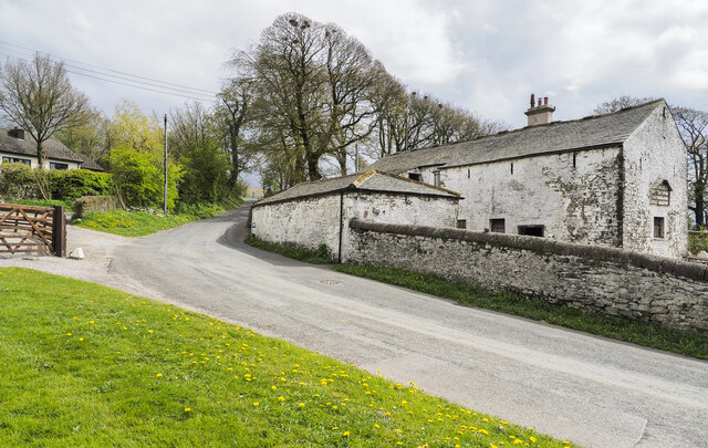
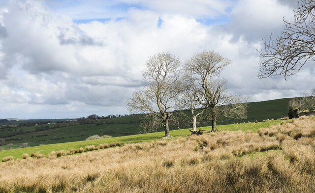
Moss Side Wood Images
Images are sourced within 2km of 54.579659/-3.4046482 or Grid Reference NY0921. Thanks to Geograph Open Source API. All images are credited.

Moss Side Wood is located at Grid Ref: NY0921 (Lat: 54.579659, Lng: -3.4046482)
Administrative County: Cumbria
District: Copeland
Police Authority: Cumbria
What 3 Words
///classics.fillings.probably. Near Frizington, Cumbria
Nearby Locations
Related Wikis

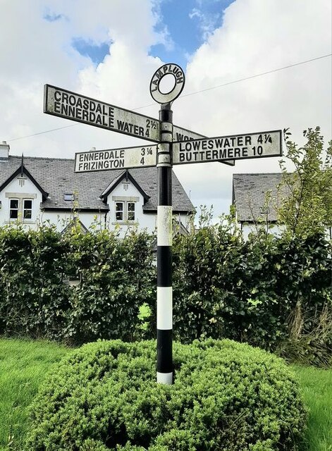
Lamplugh
Lamplugh () is a scattered community and civil parish located in West Cumbria on the edge of the English Lake District and historically part of Cumberland...
St Michael, Lamplugh
St Michael is in Lamplugh, Cumbria, England. It is an active Anglican parish church in the deanery of Calder, and the diocese of Carlisle. Its benefice...

Crossgates, Cumbria
Crossgates is a hamlet in Cumbria, England. It is located just to the northeast of Asby. == References ==

Cogra Moss
Cogra Moss is a shallow reservoir to the east of the village of Lamplugh on the western edge of the English Lake District. It was created by the damming...
Mockerkin
Mockerkin is a settlement in the English county of Cumbria. Historically part of Cumberland, it is situated just outside the Lake District National Park...

Burnbank Fell
Burnbank Fell is a small hill in the west of the English Lake District. It is the most westerly of the Loweswater Fells, a group of low grassy hills just...

Knock Murton
Knock Murton or Murton Fell is a hill of 464.4 metres (1,524 ft) in the north west of the Lake District, England. It lies in the Borough of Copeland in...

Blake Fell
Blake Fell is a hill in the Western part of the English Lake District. It is the highest point of the Loweswater Fells, an area of low grassy hills with...
Nearby Amenities
Located within 500m of 54.579659,-3.4046482Have you been to Moss Side Wood?
Leave your review of Moss Side Wood below (or comments, questions and feedback).