Kelton Fell
Downs, Moorland in Cumberland Copeland
England
Kelton Fell
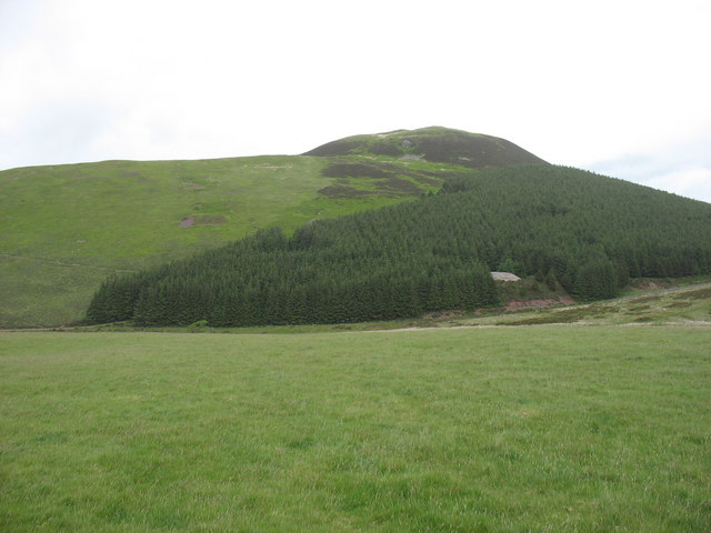
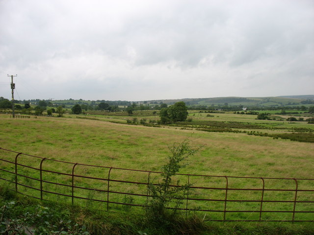
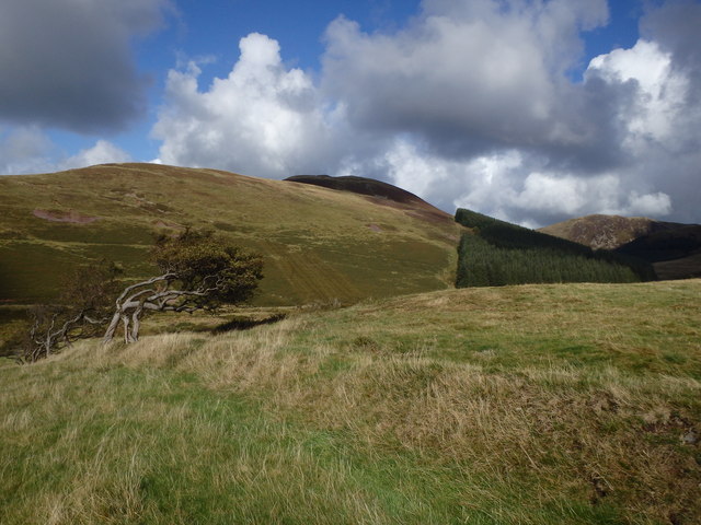
Kelton Fell is a scenic area located in the county of Cumberland, England. Situated in the northern part of the county, it is a part of the larger region known as the Cumberland Downs and Moorland. The area is characterized by its rolling hills, open fields, and expansive moorland.
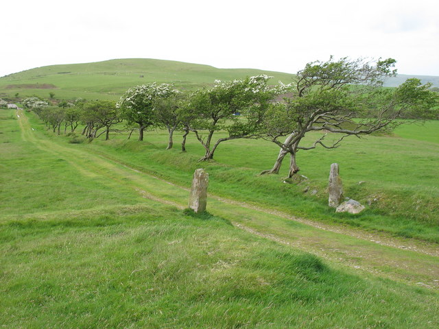
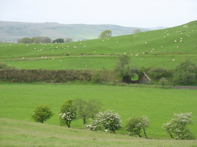
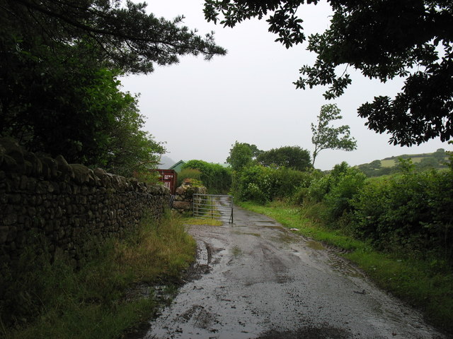
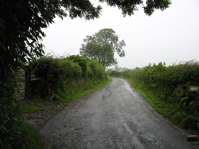
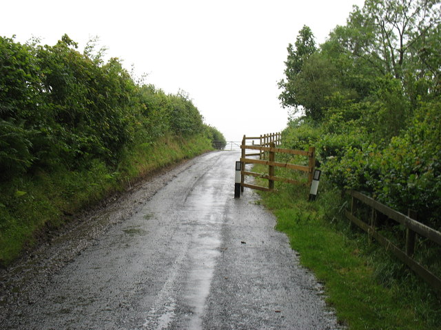
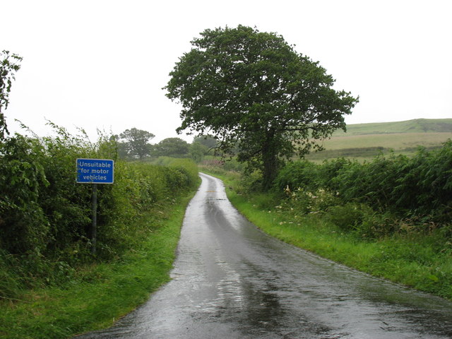
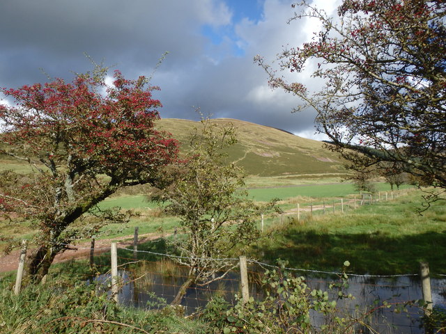
Kelton Fell offers stunning vistas and is a popular destination for hikers, nature enthusiasts, and photographers. The landscape is dotted with picturesque farms, quaint villages, and ancient stone walls. Visitors can enjoy long walks along the numerous footpaths and bridleways that crisscross the area, taking in the natural beauty and peaceful ambiance.
The flora and fauna of Kelton Fell are diverse, with a wide variety of plant species and wildlife. Common sightings include rabbits, hares, and various bird species such as skylarks and pheasants. The moorland is home to heather and gorse, lending a vibrant splash of color to the landscape.
Historically, Kelton Fell has been an important agricultural area, with farming playing a significant role in the local economy. The traditional farming practices can still be observed in the area today, with sheep grazing on the hillsides and crops cultivated in the fertile valleys.
Kelton Fell offers a serene escape from the hustle and bustle of modern life, allowing visitors to immerse themselves in the beauty of the Cumberland Downs and Moorland. Whether it's a leisurely stroll, a challenging hike, or simply enjoying the tranquility of nature, Kelton Fell has something to offer for everyone seeking a slice of rural England.
If you have any feedback on the listing, please let us know in the comments section below.
Kelton Fell Images
Images are sourced within 2km of 54.549853/-3.4033144 or Grid Reference NY0918. Thanks to Geograph Open Source API. All images are credited.
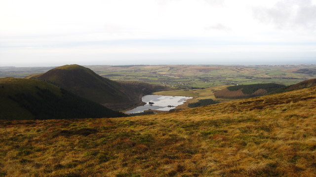
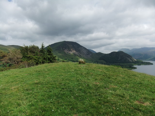
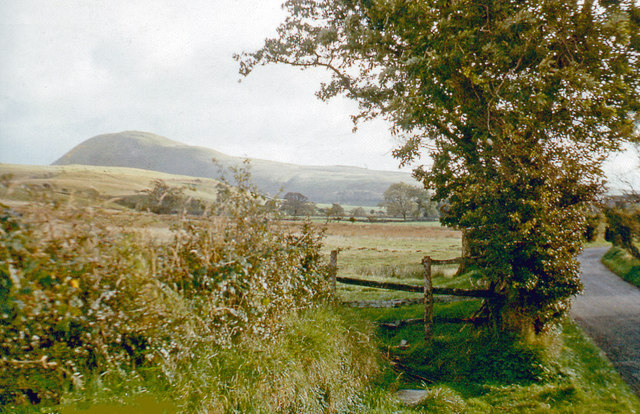
![Murton Fell [Knock Murton] Via Harris Side from minor road on grey day.
Name: Murton Fell [Knock Murton]
Hill number: 2492
Height: 447m / 1467ft
Area: 34B: Lake District - Central &amp; Western Fells
Class: Hu,sMa,B
Grid ref: NY 09485 19079
Summit feature: no feature: 2m from small narrow cairn
Drop: 141m
Col: 306m NY098188](https://s0.geograph.org.uk/geophotos/03/30/99/3309968_a14d8fdb.jpg)
Kelton Fell is located at Grid Ref: NY0918 (Lat: 54.549853, Lng: -3.4033144)
Administrative County: Cumbria
District: Copeland
Police Authority: Cumbria
What 3 Words
///coffee.elevated.slouched. Near Frizington, Cumbria
Nearby Locations
Related Wikis

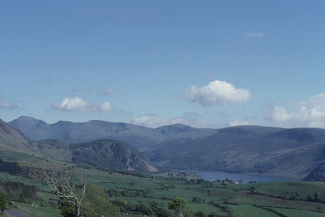
Knock Murton
Knock Murton or Murton Fell is a hill of 464.4 metres (1,524 ft) in the north west of the Lake District, England. It lies in the Borough of Copeland in...

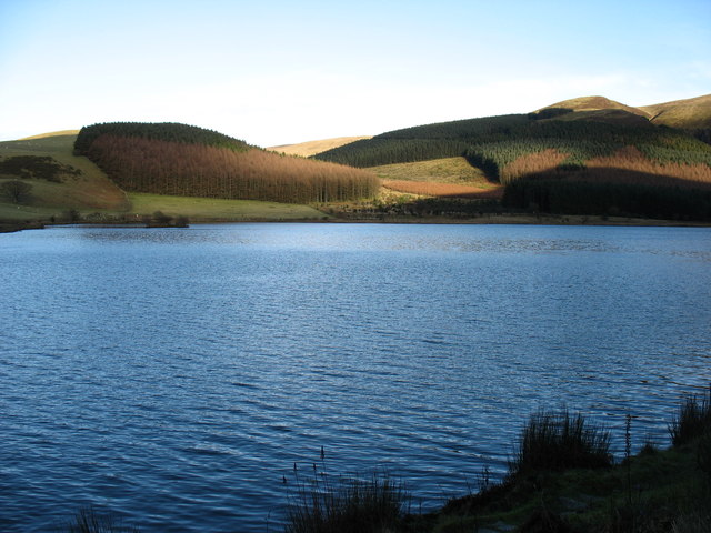
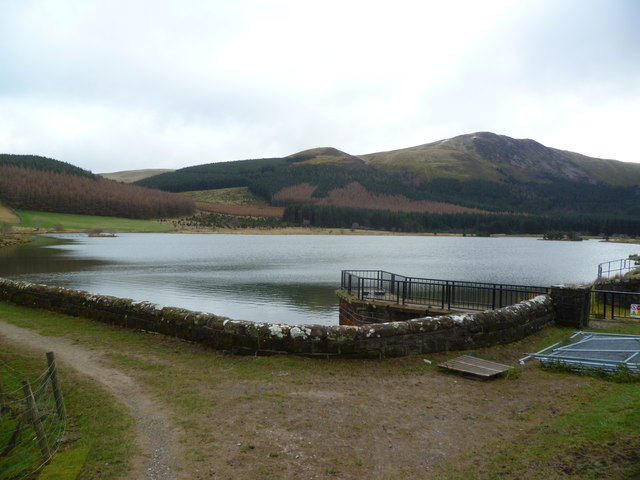
Cogra Moss
Cogra Moss is a shallow reservoir to the east of the village of Lamplugh on the western edge of the English Lake District. It was created by the damming...
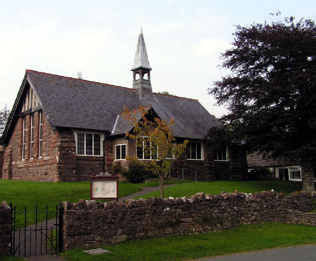
Kirkland Mission Church
Kirkland Mission Church is an Anglican church in Kirkland, in Cumbria in northern England. It falls within the deanery of Calder and the diocese of Carlisle...

Kirkland, Lamplugh
Kirkland is a small village near the A5086 road, in the Copeland district, in the English county of Cumbria. The nearest town is Cleator Moor. The Bible...
Nearby Amenities
Located within 500m of 54.549853,-3.4033144Have you been to Kelton Fell?
Leave your review of Kelton Fell below (or comments, questions and feedback).