Murton Fell

Downs, Moorland in Cumberland Copeland

England

Murton Fell

Houses at High House
Houses at High House Credit: David Medcalf

Murton Fell is a prominent geographical feature located in the county of Cumberland, in the northwestern region of England. It is an expansive area encompassing downs and moorland, offering visitors a diverse and captivating landscape.

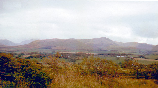
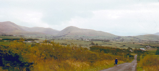
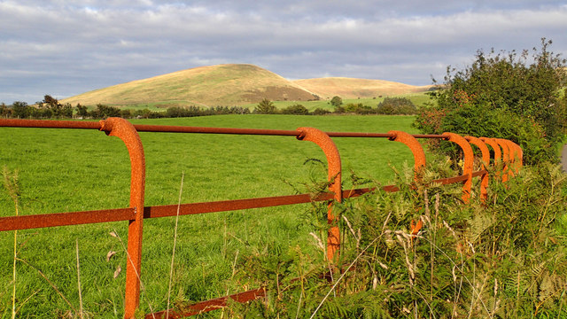
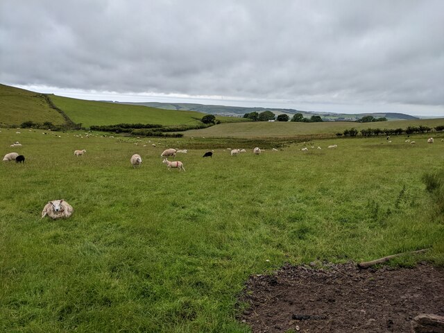
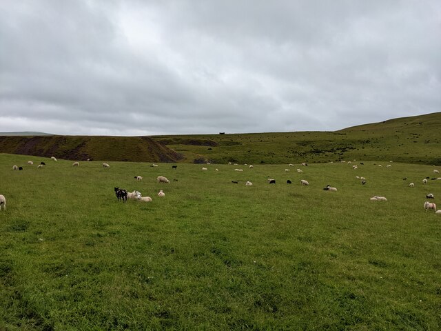
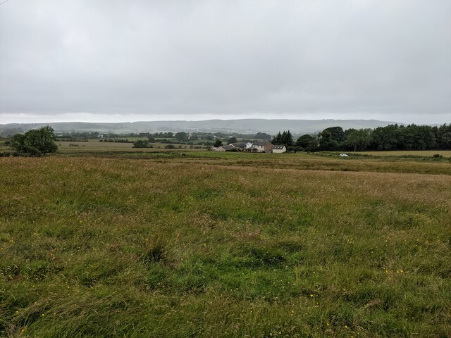
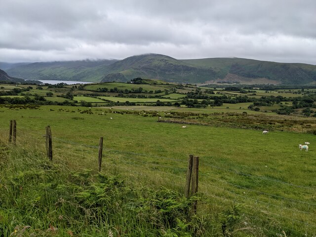
Covering an extensive area of approximately 3,000 hectares, Murton Fell boasts a varied topography. The downs, characterized by rolling hills and vast open spaces, provide breathtaking panoramic views of the surrounding countryside. These grassy slopes are often dotted with livestock, adding to the area's bucolic charm.

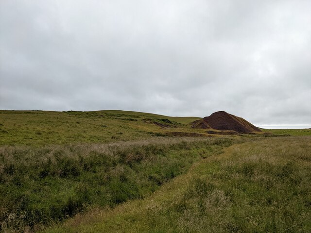
In contrast, the moorland areas of Murton Fell offer a more rugged and wild terrain. Visitors can explore heather-covered hills, rocky outcrops, and peat bogs, immersing themselves in the untamed beauty of the region. The moorland is home to a variety of wildlife, including birds of prey, such as kestrels and buzzards, as well as small mammals like rabbits and hares.

The fell's geographical location contributes to its unique climate. It experiences relatively high rainfall throughout the year, supporting the growth of vibrant flora, including wildflowers and mosses. The ever-changing weather conditions that sweep across the area create an atmospheric and dynamic backdrop for visitors to enjoy.

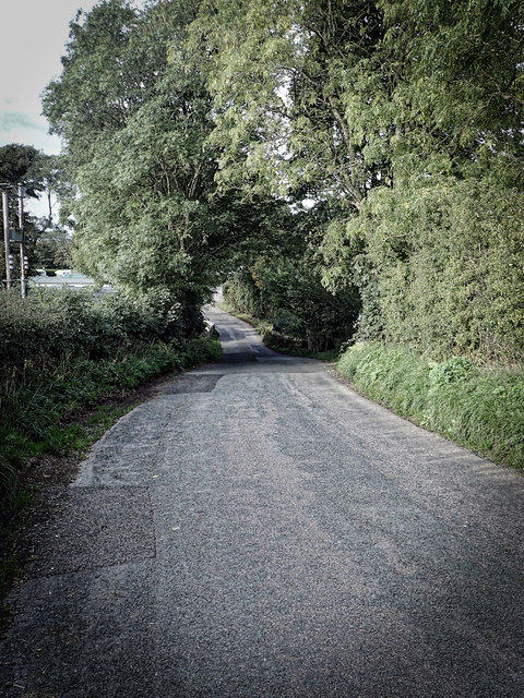
Murton Fell offers an array of recreational activities for outdoor enthusiasts. Hiking trails crisscross the landscape, providing opportunities for walkers to explore the area's natural beauty. Additionally, the fell is a popular spot for birdwatching, photography, and nature observation.

Overall, Murton Fell in Cumberland is a captivating destination that showcases the diverse and enchanting landscapes of northwest England. Its downs and moorland offer visitors a chance to immerse themselves in the beauty of nature while enjoying a range of outdoor activities.

If you have any feedback on the listing, please let us know in the comments section below.
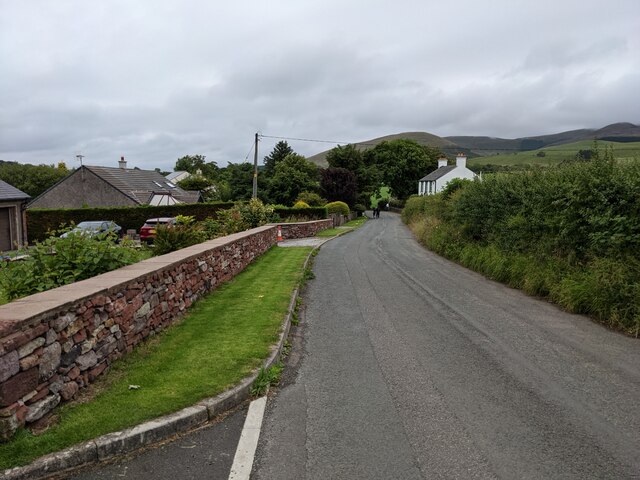
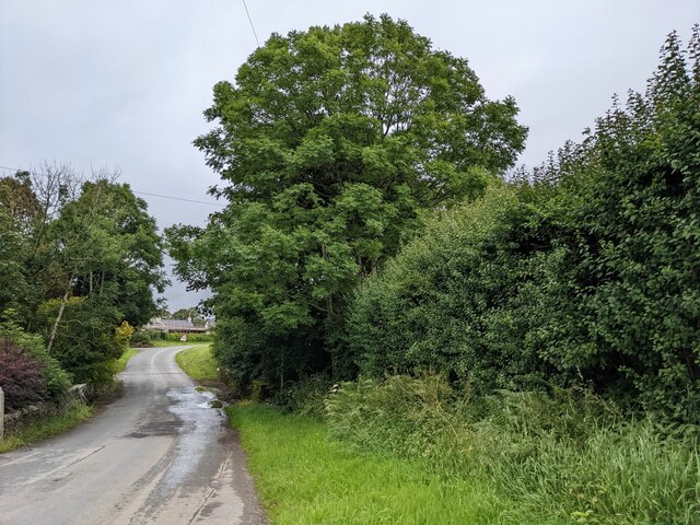
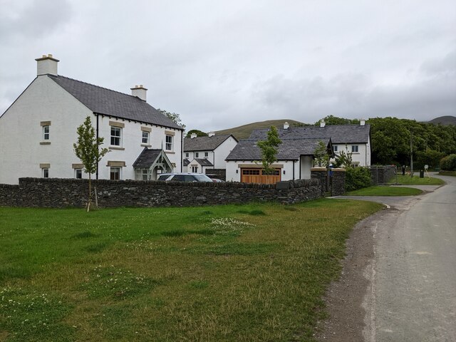
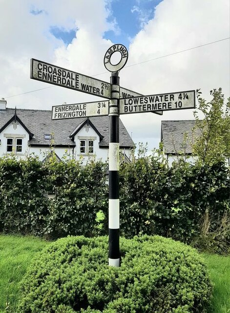
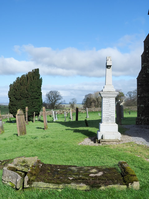
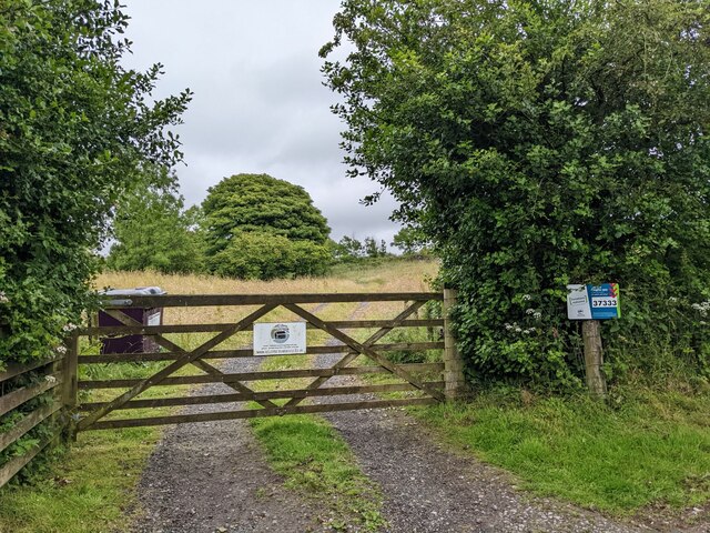
Murton Fell Images

Images are sourced within 2km of 54.557966/-3.4043199 or Grid Reference NY0918. Thanks to Geograph Open Source API. All images are credited.

Houses at High House
The road near High Millgillhead
A house at High Millgillhead
Houses at Fitz Bridge
Direction Sign – Signpost at Fitz Bridge, Lamplugh Located on the west side of the road in front of new houses at Fitz Bridge in Lamplugh parish. 4 arms and annulus finial.

Milestone Society National ID: CU_NY0820
Direction Sign – Signpost at Fitz Bridge, Lamplugh
Located on the west side of the road in front of new houses at Fitz Bridge in Lamplugh parish. 4 arms and annulus finial. Milestone Society National ID: CU_NY0820
Loweswater Fells, from Lamplugh, 1966 View ENE from by Lamplugh Hall, to Blake Fell (highest at 1,880 ft.).
Loweswater Fells, from Lamplugh, 1966
View ENE from by Lamplugh Hall, to Blake Fell (highest at 1,880 ft.).
Lamplugh Fells from near Lamplugh, 1966 View SSE near Dockray Nook to Blake Fell (1,880 ft.) on left, Murton Fell (1,463 ft.) in centre; Cogra Moss is just visible.
Lamplugh Fells from near Lamplugh, 1966
View SSE near Dockray Nook to Blake Fell (1,880 ft.) on left, Murton Fell (1,463 ft.) in centre; Cogra Moss is just visible.
Approaching Stegcroft Bridge
Iron fencing near Felldyke
War memorial at Lamplugh The small settlement at Lamplugh is at the western edge of the Lake District National Park. Much of the village lies just within the park boundary; its church, St. Michael's, lies outside.
The war memorial stands at the west end of the church; it has clearly been cleaned since Matthew Hatton photographed it in May 2014 - <a title="https://www.geograph.org.uk/photo/4019954" href="https://www.geograph.org.uk/photo/4019954">Link</a>.
War memorial at Lamplugh
The small settlement at Lamplugh is at the western edge of the Lake District National Park. Much of the village lies just within the park boundary; its church, St. Michael's, lies outside. The war memorial stands at the west end of the church; it has clearly been cleaned since Matthew Hatton photographed it in May 2014 - Link.
Fields near Smaithwaite Farm
Fields by Smaithwaite Beck Looking towards the old mine tips.
Fields by Smaithwaite Beck
Looking towards the old mine tips.
The gate to Felldyke Bunkhouse
Looking across the field to High Trees
Mine tips near Smaithwaite Beck
A rough track off Cauda Brow Not seeming to lead anywhere, it is probably related to the old mines in the area.
A rough track off Cauda Brow
Not seeming to lead anywhere, it is probably related to the old mines in the area.
Rough ground below Cauda Brow
A first glimpse of Ennerdale Water From Cauda Brow.
A first glimpse of Ennerdale Water
From Cauda Brow.
Show me another place!

Murton Fell is located at Grid Ref: NY0918 (Lat: 54.557966, Lng: -3.4043199)

Administrative County: Cumbria

District: Copeland

Police Authority: Cumbria

What 3 Words

///incurs.corkscrew.gross. Near Frizington, Cumbria

Related Wikis

Knock Murton

Knock Murton or Murton Fell is a hill of 464.4 metres (1,524 ft) in the north west of the Lake District, England. It lies in the Borough of Copeland in...

Cogra Moss

Cogra Moss is a shallow reservoir to the east of the village of Lamplugh on the western edge of the English Lake District. It was created by the damming...

Blake Fell

Blake Fell is a hill in the Western part of the English Lake District. It is the highest point of the Loweswater Fells, an area of low grassy hills with...

St Michael, Lamplugh

St Michael is in Lamplugh, Cumbria, England. It is an active Anglican parish church in the deanery of Calder, and the diocese of Carlisle. Its benefice...

Nearby Amenities

Located within 500m of 54.557966,-3.4043199
Knock Murton
Ele: 447
Natural: peak
Source Name: local knowledge
Lat/Long: 54.5587396/-3.4015036
Knockmurton Iron Mine
Abandoned: yes
Historic: mine
Man Made: mine
Mineral: iron
Note: Lots of other evidence of old mine workings and collapsed tunnels in the area, especially West and East.
Source: npe
Lat/Long: 54.5549274/-3.4061107
Abandoned: yes
Historic: mine_shaft
Man Made: mineshaft
Lat/Long: 54.5561989/-3.3983137
Abandoned: yes
Historic: mine_shaft
Man Made: mineshaft
Mineral: iron_ore
Lat/Long: 54.5543048/-3.4009884
Abandoned: yes
Historic: mine_shaft
Man Made: mineshaft
Mineral: iron_ore
Lat/Long: 54.5553521/-3.4024518
Abandoned: yes
Historic: mine_shaft
Man Made: mineshaft
Mineral: iron_ore
Lat/Long: 54.555173/-3.4031418
Abandoned: yes
Historic: mine_shaft
Man Made: mineshaft
Mineral: iron_ore
Lat/Long: 54.5553711/-3.4038832
Abandoned: yes
Historic: mine_shaft
Man Made: mineshaft
Mineral: iron_ore
Lat/Long: 54.5559322/-3.4042369
Abandoned: yes
Historic: mine_shaft
Man Made: mineshaft
Mineral: iron_ore
Lat/Long: 54.5544689/-3.4087232
Abandoned: yes
Historic: mine_shaft
Man Made: mineshaft
Mineral: iron_ore
Lat/Long: 54.5546314/-3.4085597
Abandoned: yes
Historic: mine_shaft
Man Made: mineshaft
Mineral: iron_ore
Lat/Long: 54.5549889/-3.4077051
Abandoned: yes
Historic: mine_shaft
Man Made: mineshaft
Mineral: iron_ore
Lat/Long: 54.5540515/-3.401334
Abandoned: yes
Historic: mine_shaft
Man Made: mineshaft
Mineral: iron_ore
Lat/Long: 54.5546141/-3.4064392
Abandoned: yes
Historic: mine_shaft
Man Made: mineshaft
Mineral: iron_ore
Lat/Long: 54.5546647/-3.3997117
Abandoned: yes
Historic: mine_shaft
Man Made: mineshaft
Mineral: iron_ore
Lat/Long: 54.5548331/-3.3999281
Man Made: cairn
Lat/Long: 54.5588451/-3.4012505
Harris Side
Place: locality
Lat/Long: 54.5557703/-3.4098903
Barrier: stile
Lat/Long: 54.5575166/-3.3986451
Abandoned: yes
Historic: mine_shaft
Man Made: mineshaft
Mineral: iron_ore
Lat/Long: 54.5554052/-3.4034957
Abandoned: yes
Historic: mine_shaft
Man Made: mineshaft
Lat/Long: 54.5555765/-3.399861
Abandoned: yes
Historic: mine_shaft
Man Made: mineshaft
Mineral: iron_ore
Lat/Long: 54.5547148/-3.402438
The data included in this document is from www.openstreetmap.org. The data is made available under ODbL.

Have you been to Murton Fell?

Leave your review of Murton Fell below (or comments, questions and feedback).