The Warren

Downs, Moorland in Denbighshire

Wales

The Warren

Smithy House
Smithy House Credit: Anthony Parkes

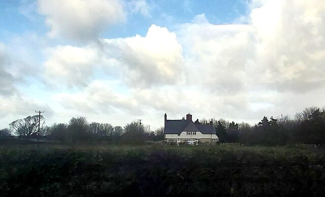
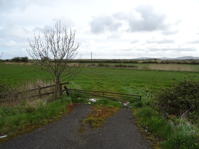
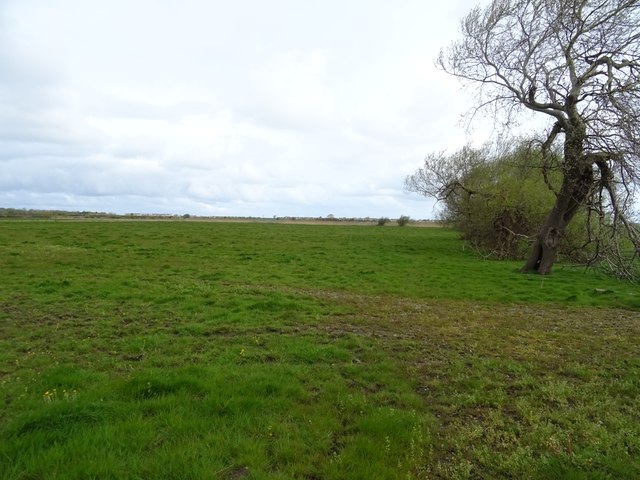
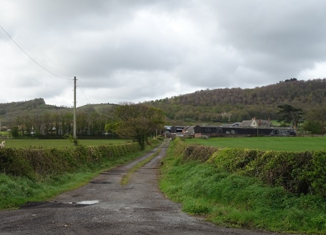
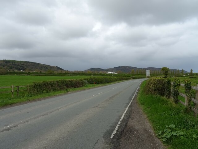
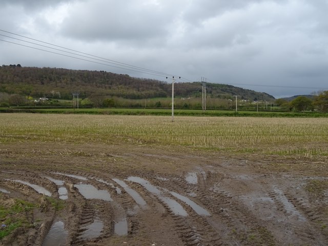
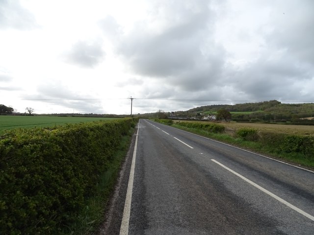
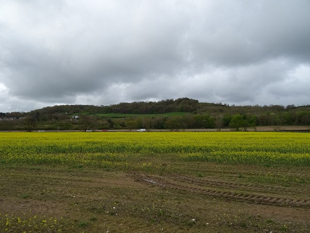
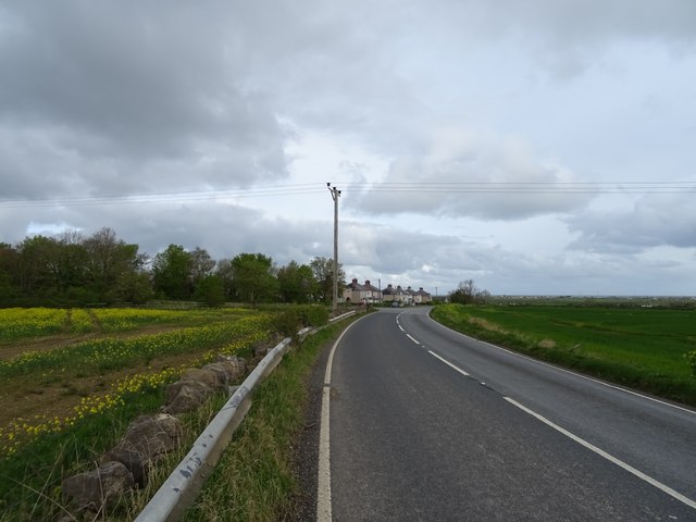
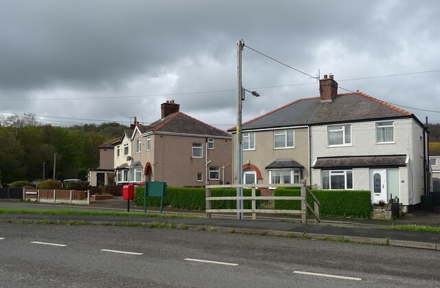
The Warren, located in Denbighshire, is a picturesque area known for its beautiful downs and moorland landscapes. Spread across approximately 4,000 acres, it offers a diverse range of natural habitats and stunning views. Situated in the northern part of Wales, it is a popular destination for nature enthusiasts and outdoor adventurers.

The Warren is characterized by its rolling hills, open grasslands, and heathlands. It is home to a rich variety of flora and fauna, including several rare and protected species. Visitors can expect to encounter vibrant wildflowers, such as heather and gorse, as well as numerous bird species, including skylarks and stonechats.

The area is crisscrossed by a network of footpaths and trails, making it ideal for hiking, walking, and cycling. Exploring the Warren on foot allows visitors to fully immerse themselves in the natural beauty of the landscape. Additionally, the moorland provides an excellent opportunity for wildlife spotting and birdwatching.

The Warren also has historical significance, with remnants of ancient settlements and burial sites scattered throughout the area. Archaeological enthusiasts can explore these sites and uncover the rich history of the region.

Overall, the Warren in Denbighshire offers a tranquil and idyllic escape for those seeking a connection with nature. With its diverse ecosystems, breathtaking views, and recreational opportunities, it is a must-visit destination for both locals and tourists alike.

If you have any feedback on the listing, please let us know in the comments section below.
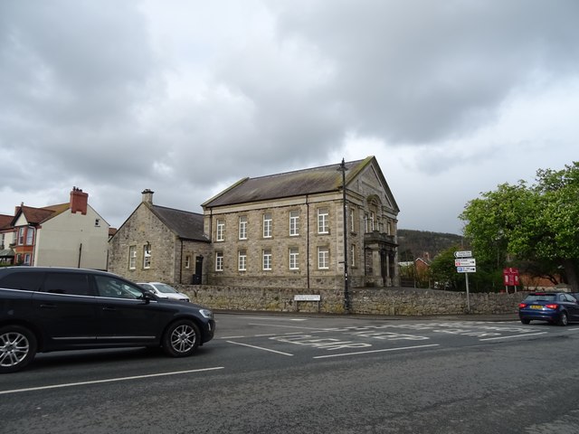
The Warren Images

Images are sourced within 2km of 53.270589/-3.5633958 or Grid Reference SH9575. Thanks to Geograph Open Source API. All images are credited.

Smithy House
Smithy House
Ordnance Survey Cut Mark This OS cut mark can be found on the wall west side of Chapel Street. It marks a point 18.758m above mean sea level.
Ordnance Survey Cut Mark
This OS cut mark can be found on the wall west side of Chapel Street. It marks a point 18.758m above mean sea level.
Ordnance Survey Cut Mark This OS cut mark can be found on the wall of Glyn on St George Road. It marks a point 19.897m above mean sea level.
Ordnance Survey Cut Mark
This OS cut mark can be found on the wall of Glyn on St George Road. It marks a point 19.897m above mean sea level.
Ordnance Survey Cut Mark This OS cut mark can be found on the old school, Bridge Street. It marks a point 16.540m above mean sea level.
Ordnance Survey Cut Mark
This OS cut mark can be found on the old school, Bridge Street. It marks a point 16.540m above mean sea level.
St Paul's Methodist Church, Abergele
Field entrance off the A547, Abergele
Arriva bus on the A547, Abergele The A547 runs 23 miles from Conwy to Prestatyn.
<span class="nowrap"><a title="http://www.sabre-roads.org.uk/wiki/index.php?title=A547" rel="nofollow ugc noopener" href="http://www.sabre-roads.org.uk/wiki/index.php?title=A547">Link</a><img style="margin-left:2px;" alt="External link" title="External link - shift click to open in new window" src="https://s1.geograph.org.uk/img/external.png" width="10" height="10"/></span>
Arriva bus on the A547, Abergele
The A547 runs 23 miles from Conwy to Prestatyn. LinkExternal link
Grazing, Abergele
Grazing, Abergele
Track (footpath) to Hendre-bach
Rhuddlan Road (A547) towards Abergele
Stubble field and power lines near Hendre-bach
St Asaph Road
St Asaph Road
Oilseed rape crop towards the A55
St Asaph Road
St Asaph Road
Elizabeth II postbox on Bridge Street, Abergele Postbox No. LL22 39.
Elizabeth II postbox on Bridge Street, Abergele
Postbox No. LL22 39.
Elizabeth II postbox, Bodtegwel Terrace Postbox No. LL22 97.
See <a href="https://www.geograph.org.uk/photo/7769618">SH9776 : Bodtegwel Terrace</a> for context.
Elizabeth II postbox, Bodtegwel Terrace
Postbox No. LL22 97. See SH9776 : Bodtegwel Terrace for context.
Bodtegwel Terrace Showing position of Postbox No. LL22 97.
See <a href="https://www.geograph.org.uk/photo/7769617">SH9776 : Elizabeth II postbox, Bodtegwel Terrace</a> for postbox.
Bodtegwel Terrace
Showing position of Postbox No. LL22 97. See SH9776 : Elizabeth II postbox, Bodtegwel Terrace for postbox.
Double aperture Elizabeth II postbox on Market Street, Abergele Postbox No. LL22 216 and Postbox No. LL22 9216.
Outside the Post Office.
See <a href="https://www.geograph.org.uk/photo/7769620">SH9477 : Post office on Market Street, Abergele</a> for context.
Double aperture Elizabeth II postbox on Market Street, Abergele
Postbox No. LL22 216 and Postbox No. LL22 9216. Outside the Post Office. See SH9477 : Post office on Market Street, Abergele for context.
Show me another place!

The Warren is located at Grid Ref: SH9575 (Lat: 53.270589, Lng: -3.5633958)

Unitary Authority: Conwy

Police Authority: North Wales

What 3 Words

///intersect.debt.battle. Near Abergele, Conwy

Related Wikis

Abergele Hospital

Abergele Hospital (Welsh: Ysbyty Abergele) is a community hospital in Abergele, Wales. It is managed by Betsi Cadwaladr University Health Board. ��2�...

Abergele

Abergele (; Welsh: [ˌabɛrˈɡɛlɛ]; ) is a market town and community, situated on the north coast of Wales between the holiday resorts of Colwyn Bay and Rhyl...

St George, Conwy

St George (Welsh: Llansansior, sometimes Llan San(t) Siôr or Llan Sain Siôr) is a small village in the county borough of Conwy, Wales and is close to the...

Moelfre, Conwy

Moelfre is a hamlet in the county of Conwy, North Wales, close to Abergele (3 miles north), Betws yn Rhos (4 miles west) and Llanfair Talhaiarn (3 miles...

Nearby Amenities

Located within 500m of 53.270589,-3.5633958
The Warren
Ele: 189
Natural: peak
Lat/Long: 53.2697947/-3.5625572
Power: pole
Lat/Long: 53.2747582/-3.561003
Power: pole
Lat/Long: 53.2741828/-3.5619409
Power: pole
Lat/Long: 53.274697/-3.5609169
Power: pole
Lat/Long: 53.2739613/-3.5620921
Power: pole
Lat/Long: 53.2732459/-3.5633545
Power: pole
Lat/Long: 53.273574/-3.5629862
Power: pole
Lat/Long: 53.2729235/-3.564106
Power: pole
Lat/Long: 53.2730813/-3.5649682
Power: pole
Lat/Long: 53.273243/-3.5658793
Power: pole
Lat/Long: 53.2734391/-3.5668075
Power: pole
Lat/Long: 53.2735956/-3.5675377
Power: pole
Lat/Long: 53.2711766/-3.5678619
Power: pole
Lat/Long: 53.2719769/-3.5671657
Power: pole
Lat/Long: 53.2731764/-3.5665181
Power: pole
Lat/Long: 53.2731344/-3.5658603
Power: pole
Lat/Long: 53.2728225/-3.5640742
Power: pole
Lat/Long: 53.2727688/-3.5669828
Power: pole
Lat/Long: 53.2704215/-3.5685002
Power: pole
Lat/Long: 53.2697303/-3.5691254
Communication Mobile Phone: yes
Man Made: mast
Tower Type: communication
Lat/Long: 53.2701145/-3.5695172
The data included in this document is from www.openstreetmap.org. The data is made available under ODbL.

Have you been to The Warren?

Leave your review of The Warren below (or comments, questions and feedback).