Gallovie Moss
Downs, Moorland in Inverness-shire
Scotland
Gallovie Moss
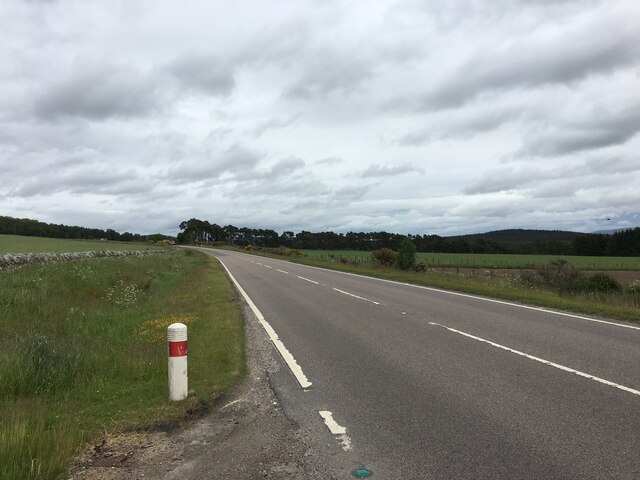
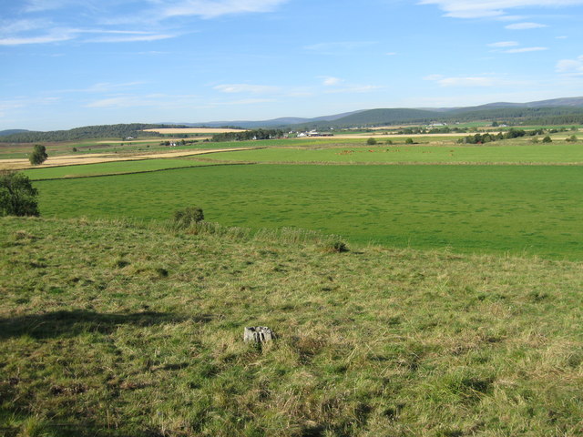
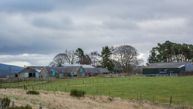
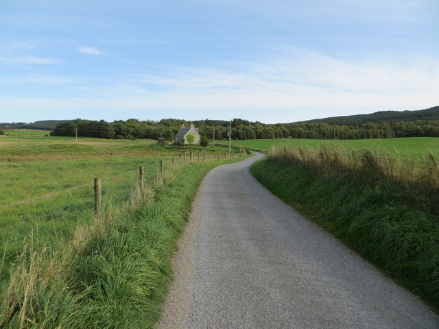
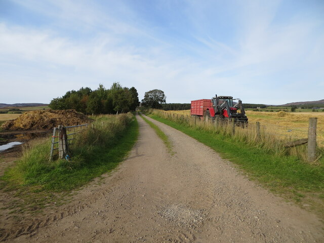
Gallovie Moss is a picturesque area located in Inverness-shire, Scotland. Situated on the Downs and Moorland, it is known for its stunning natural beauty and unique ecosystem.
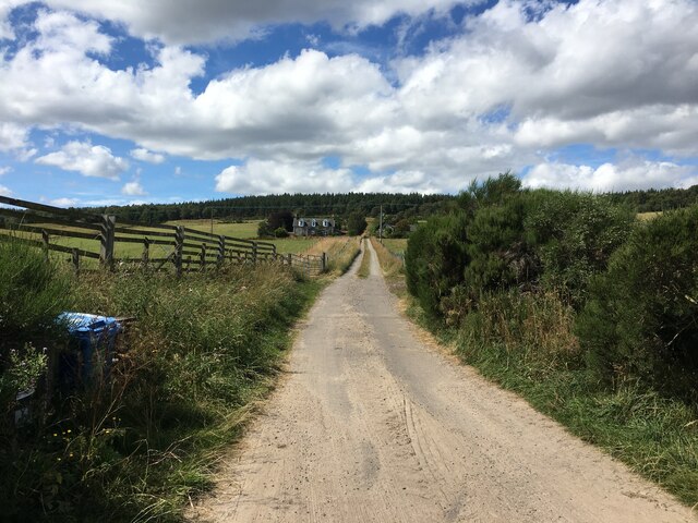
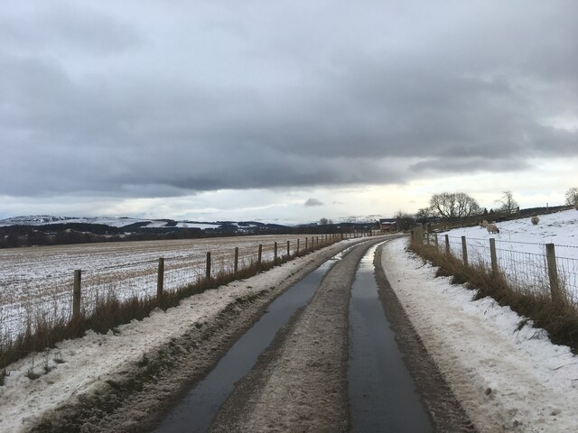
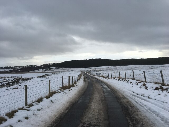
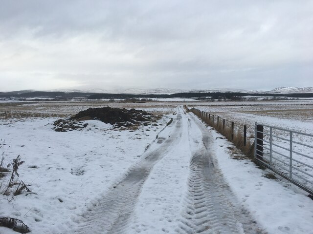
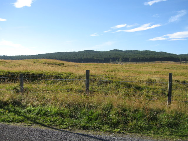
Covering an expansive area, Gallovie Moss is characterized by its vast stretches of open land, dotted with small hills and heather-covered moors. The area is rich in biodiversity, home to a wide range of plant and animal species. The moss itself is a type of wetland, characterized by its waterlogged and peat-rich soil.
The landscape of Gallovie Moss is dominated by a variety of plant species, including sphagnum moss, cotton grass, and heather. This creates a striking contrast of colors, with vibrant greens, purples, and golden hues blending together. The moss is also home to a variety of bird species, such as curlews, lapwings, and red grouse, making it a popular spot for birdwatching enthusiasts.
The area is also known for its archaeological significance, with several ancient sites and ruins scattered throughout Gallovie Moss. These include stone circles, burial cairns, and remnants of ancient settlements, providing a glimpse into the area's rich history.
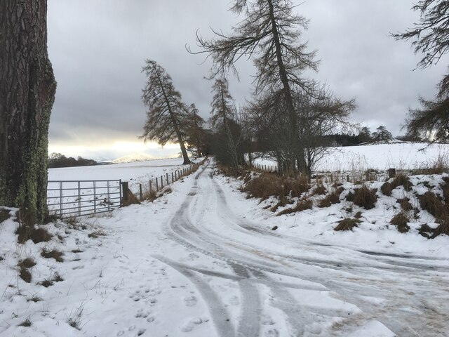
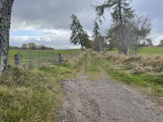
Visitors to Gallovie Moss can enjoy a peaceful and tranquil experience, surrounded by the beauty of nature. The area offers several walking trails and paths, allowing visitors to explore the moss and its surroundings at their own pace. Whether it's enjoying the stunning views, observing wildlife, or immersing oneself in history, Gallovie Moss offers a unique and enriching experience for nature lovers and history enthusiasts alike.
If you have any feedback on the listing, please let us know in the comments section below.
Gallovie Moss Images
Images are sourced within 2km of 57.28503/-3.7307872 or Grid Reference NH9522. Thanks to Geograph Open Source API. All images are credited.
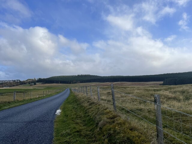
Gallovie Moss is located at Grid Ref: NH9522 (Lat: 57.28503, Lng: -3.7307872)
Unitary Authority: Highland
Police Authority: Highlands and Islands
What 3 Words
///cakes.finally.idealist. Near Grantown-on-Spey, Highland
Nearby Locations
Related Wikis
Duthil Old Parish Church and Churchyard
Duthil Old Parish Church and Churchyard is a historic site at the centre of the historical parish of Duthil (Scottish Gaelic: Daothal), near Carrbridge...
Duthil
Duthil (Scottish Gaelic: Daothal) is a small village, bypassed by the A938 road, at the junction with the road B9007, near Carrbridge in Inverness-shire...
Strathspey Railway (preserved)
The Strathspey Railway (SR) in Badenoch and Strathspey, Highland, Scotland, operates a ten-mile (16 km) heritage railway from Aviemore to Broomhill, Highland...
Drumuillie
Drumuillie (Scottish Gaelic: Druim Mùillidh) is a small hamlet (or Clachan), which lies 1 mile (1.6 km) north of Boat of Garten and 10 miles (16 km) northeast...
Have you been to Gallovie Moss?
Leave your review of Gallovie Moss below (or comments, questions and feedback).
