Watch

Heritage Site in Denbighshire

Wales

Watch

View from Moelfre Isaf above Abergele
View from Moelfre Isaf above Abergele Credit: David and Rachel Landin

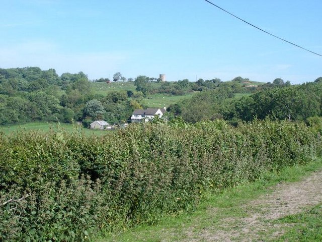
Watch, Denbighshire is a significant heritage site located in the northeastern part of Wales, United Kingdom. Situated in the picturesque Clwydian Range Area of Outstanding Natural Beauty, Watch boasts a rich historical background dating back to prehistoric times.

The main attraction at Watch is its Iron Age hillfort, believed to have been constructed around 600 BC. The hillfort is strategically positioned on a prominent hilltop, providing panoramic views of the surrounding landscape. It is a testament to the advanced engineering skills of the Iron Age inhabitants, with its impressive ramparts and ditches still visible today.

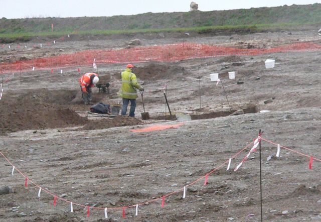
The site has attracted the interest of archaeologists for many years, who have unearthed various artifacts that shed light on the daily lives of the people who once lived here. Excavations have revealed evidence of Iron Age houses, pottery, tools, and even human remains.

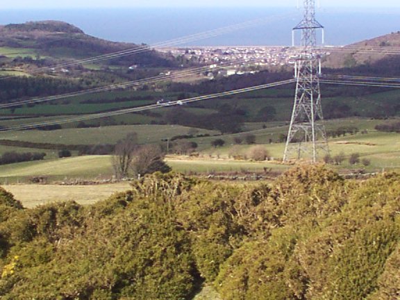
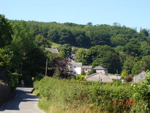
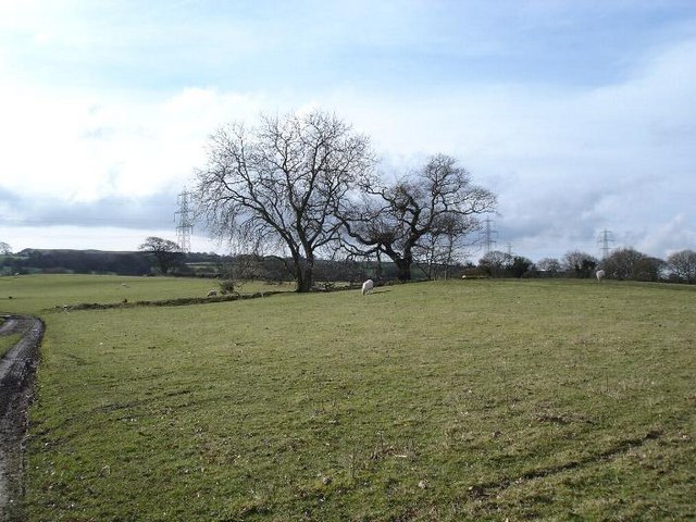
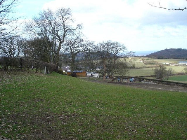
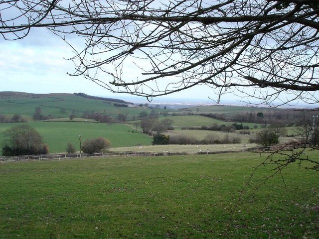
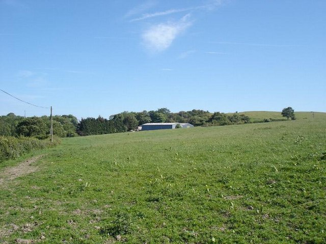
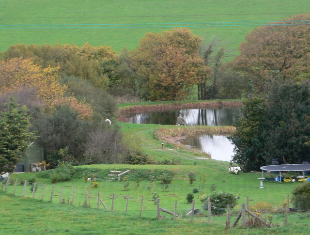
Aside from its historical significance, Watch offers visitors a chance to immerse themselves in the stunning natural beauty of the area. The hillfort is surrounded by rolling hills, lush green meadows, and breathtaking views of the Clwydian Range. It is a popular spot for nature walks and picnics, allowing visitors to explore the landscape while enjoying the tranquility and serenity of the surroundings.

Watch, Denbighshire is an important heritage site that provides a fascinating glimpse into the Iron Age civilization that once thrived in this area. With its historical significance and natural beauty, it is a must-visit destination for history enthusiasts, nature lovers, and those seeking a peaceful retreat in the heart of Wales.

If you have any feedback on the listing, please let us know in the comments section below.
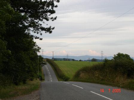
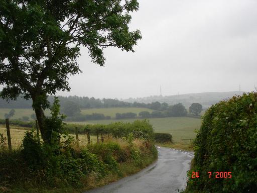
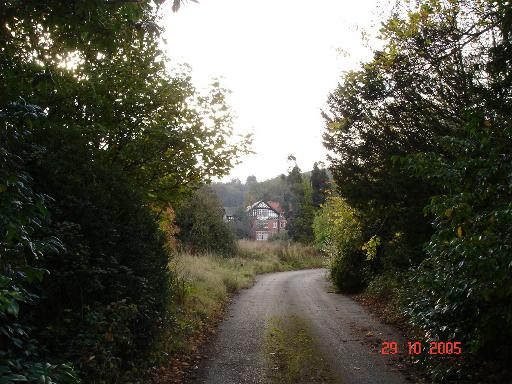
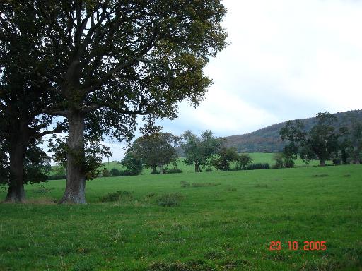
Watch Images

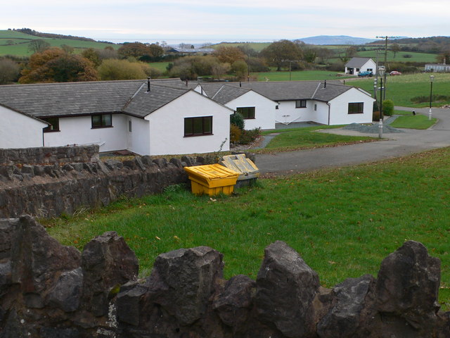
Images are sourced within 2km of 53.265/-3.567 or Grid Reference SH9575. Thanks to Geograph Open Source API. All images are credited.

View from Moelfre Isaf above Abergele
St. George Village of St. George (Llansan Sior)
St. George
Village of St. George (Llansan Sior)
Quarry site overlooking North Wales Coast The quarry buildings in front of the coast line of Rhyl and Pensarn
Quarry site overlooking North Wales Coast
The quarry buildings in front of the coast line of Rhyl and Pensarn
Quarry View Quarry to the West of St. George Abergele
Quarry View
Quarry to the West of St. George Abergele
Roman Road Moelfre - Bodelwyddan The old Roman road running between Moelfre and Bodelwyddan
Roman Road Moelfre - Bodelwyddan
The old Roman road running between Moelfre and Bodelwyddan
Gatehouse entrance to Abergele hospital Former gatehouse standing at the entrance to Abergele hospital
Gatehouse entrance to Abergele hospital
Former gatehouse standing at the entrance to Abergele hospital
Lane and farmland Lane and farmland near to Dinorben
Lane and farmland
Lane and farmland near to Dinorben
Tan y Bryn Former nursing home to the East of Abergele. Currently standing empty whilst legal wrangles continue in regard to its redevelopment
Tan y Bryn
Former nursing home to the East of Abergele. Currently standing empty whilst legal wrangles continue in regard to its redevelopment
Pastureland at Kinmel Open pastureland to the East of the Kinmel Manor hotel
Pastureland at Kinmel
Open pastureland to the East of the Kinmel Manor hotel
Archaeologists working near Dinorben, St. George. This is a view of the Archaeological dig taking place near Dinorben, St. George. The field you see in this view is programmed to be blown to pieces, as the St. George Quarry expands. The St. George Quarry has already removed a hill fort off the map. What price progress?
Archaeologists working near Dinorben, St. George.
This is a view of the Archaeological dig taking place near Dinorben, St. George. The field you see in this view is programmed to be blown to pieces, as the St. George Quarry expands. The St. George Quarry has already removed a hill fort off the map. What price progress?
Moelfre farmland To the west of the village of Moelfre, farmland where a public footpath crosses to the left.
Moelfre farmland
To the west of the village of Moelfre, farmland where a public footpath crosses to the left.
Top-y-Glol Farm above the village of Moelfre
Top-y-Glol
Farm above the village of Moelfre
View from Moelfre Isaf Looking North from Moelfre Isaf over farmland to the North Wales coast
View from Moelfre Isaf
Looking North from Moelfre Isaf over farmland to the North Wales coast
Ffordd Las Above Abergele Ffordd Las farmland. In the background the tower on the hill can be seen.
Ffordd Las
Above Abergele Ffordd Las farmland. In the background the tower on the hill can be seen.
Ffordd Las fields In the hills to the South of Abergele, farmland in the area of Ffordd Las.
Ffordd Las fields
In the hills to the South of Abergele, farmland in the area of Ffordd Las.
Tan y Mynydd Fishery A trout fishery nestling in the countryside south of Abergele; there are five lakes here.
Tan y Mynydd Fishery
A trout fishery nestling in the countryside south of Abergele; there are five lakes here.
Lakeside Cottages Built near the five lakes of Tan y Mynydd Fishery at Moelfre
Lakeside Cottages
Built near the five lakes of Tan y Mynydd Fishery at Moelfre
Abergele Hospital Originally built by the people of Manchester for children from the city who suffered from tuberculosis, this hospital now provides orthopaedic services and chest medicine. There has been talk of closing this hospital and moving the services to Bodelwyddan Hospital, but that has probably been put on hold now as Bodelwyddan needs to be rebuilt because of asbestos problems.
Abergele Hospital
Originally built by the people of Manchester for children from the city who suffered from tuberculosis, this hospital now provides orthopaedic services and chest medicine. There has been talk of closing this hospital and moving the services to Bodelwyddan Hospital, but that has probably been put on hold now as Bodelwyddan needs to be rebuilt because of asbestos problems.
Show me another place!

Watch is located at Grid Ref: SH9575 (Lat: 53.265, Lng: -3.567)

Unitary Authority: Conwy

Police Authority: North Wales

What 3 Words

///handwriting.printout.allies. Near Abergele, Conwy

Related Wikis

Abergele Hospital

Abergele Hospital (Welsh: Ysbyty Abergele) is a community hospital in Abergele, Wales. It is managed by Betsi Cadwaladr University Health Board. ��2�...

Moelfre, Conwy

Moelfre is a hamlet in the county of Conwy, North Wales, close to Abergele (3 miles north), Betws yn Rhos (4 miles west) and Llanfair Talhaiarn (3 miles...

Abergele

Abergele (; Welsh: [ˌabɛrˈɡɛlɛ]; ) is a market town and community, situated on the north coast of Wales between the holiday resorts of Colwyn Bay and Rhyl...

St George, Conwy

St George (Welsh: Llansansior, sometimes Llan San(t) Siôr or Llan Sain Siôr) is a small village in the county borough of Conwy, Wales and is close to the...

Nearby Amenities

Located within 500m of 53.265,-3.567
Power: pole
Lat/Long: 53.2615818/-3.5710303
The data included in this document is from www.openstreetmap.org. The data is made available under ODbL.

Have you been to Watch?

Leave your review of Watch below (or comments, questions and feedback).