Craw Wood
Downs, Moorland in West Lothian
Scotland
Craw Wood
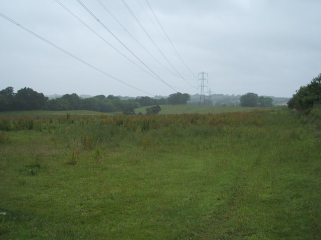
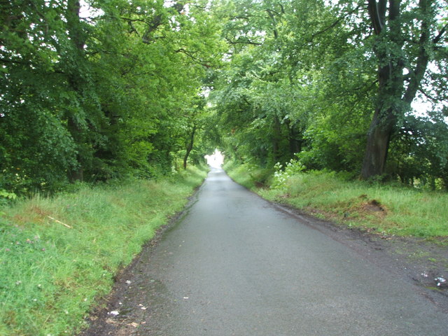
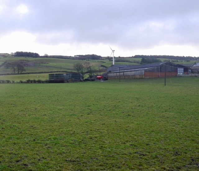
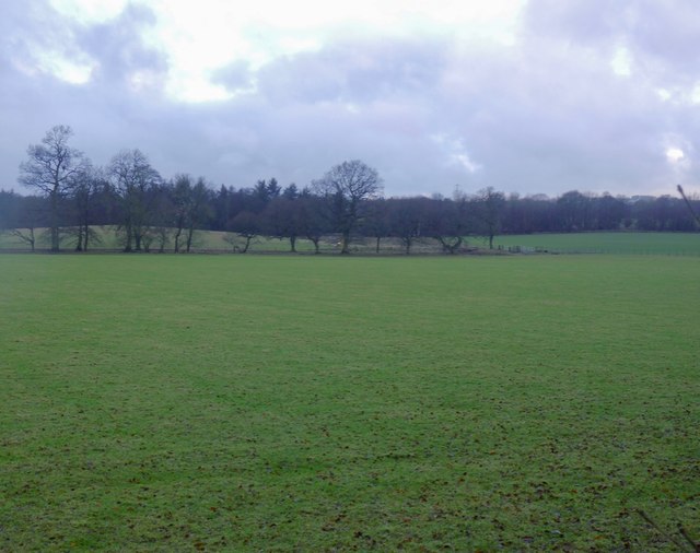
Craw Wood is a picturesque woodland located in West Lothian, Scotland. Situated on the western edge of the county, it covers an expansive area of downs and moorland. The wood is characterized by its diverse flora and fauna, making it a haven for nature enthusiasts and wildlife lovers.
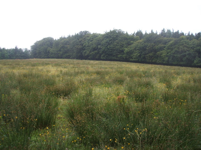
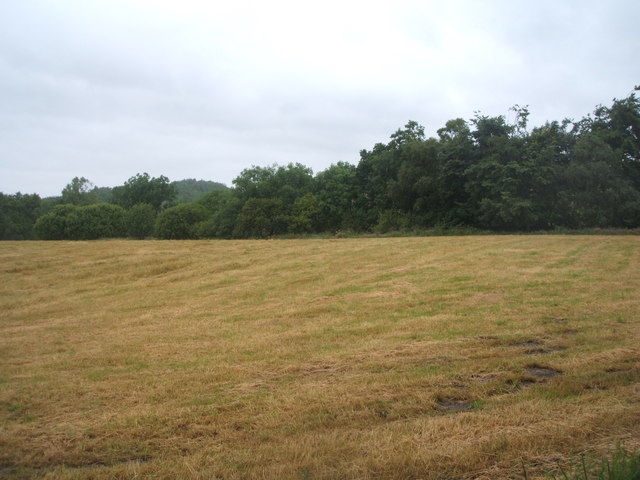
Covering approximately 100 hectares, Craw Wood boasts a mix of native tree species such as oak, birch, and Scots pine, providing a rich habitat for a variety of wildlife. The woodland is home to a plethora of bird species, including woodpeckers, thrushes, and red kites, making it a popular spot for birdwatching. The tranquil surroundings and peaceful atmosphere of the wood also attract other creatures like deer, foxes, and badgers.
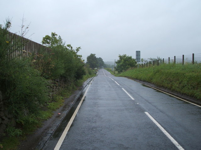
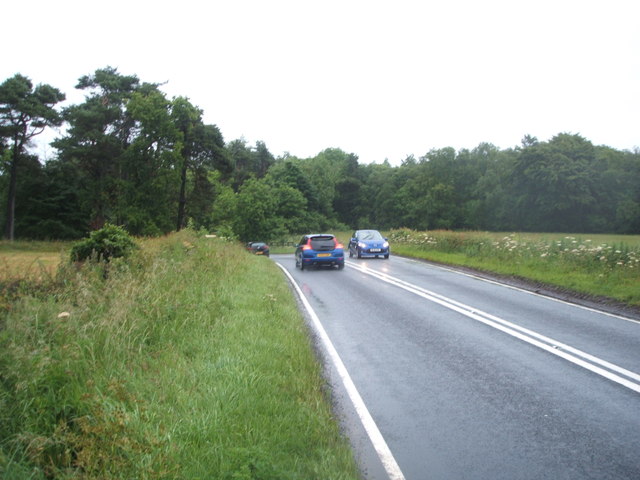
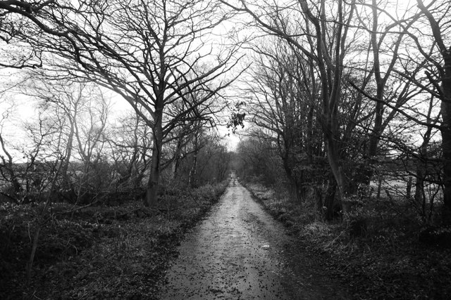
The hilly terrain and open moorland areas of Craw Wood offer stunning panoramic views of the surrounding countryside. Visitors can enjoy leisurely walks and hikes along the numerous trails that wind their way through the woodland. The diverse landscape and the changing seasons make Craw Wood a popular destination for photographers and artists looking to capture the beauty of the Scottish countryside.
Alongside its natural beauty, Craw Wood also has historical significance. The remains of an ancient Roman fort can be found within its boundaries, adding an element of intrigue and historical interest to the area.
Overall, Craw Wood in West Lothian is a captivating destination that offers a unique combination of woodland, downs, and moorland. Whether it's for wildlife spotting, hiking, or simply enjoying the tranquility of nature, this wood provides a memorable experience for all who visit.
If you have any feedback on the listing, please let us know in the comments section below.
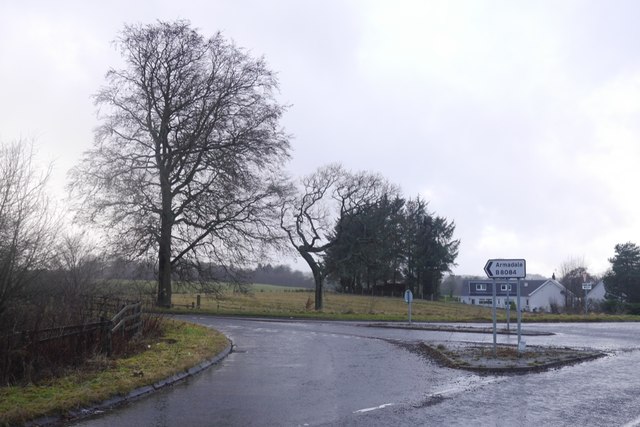
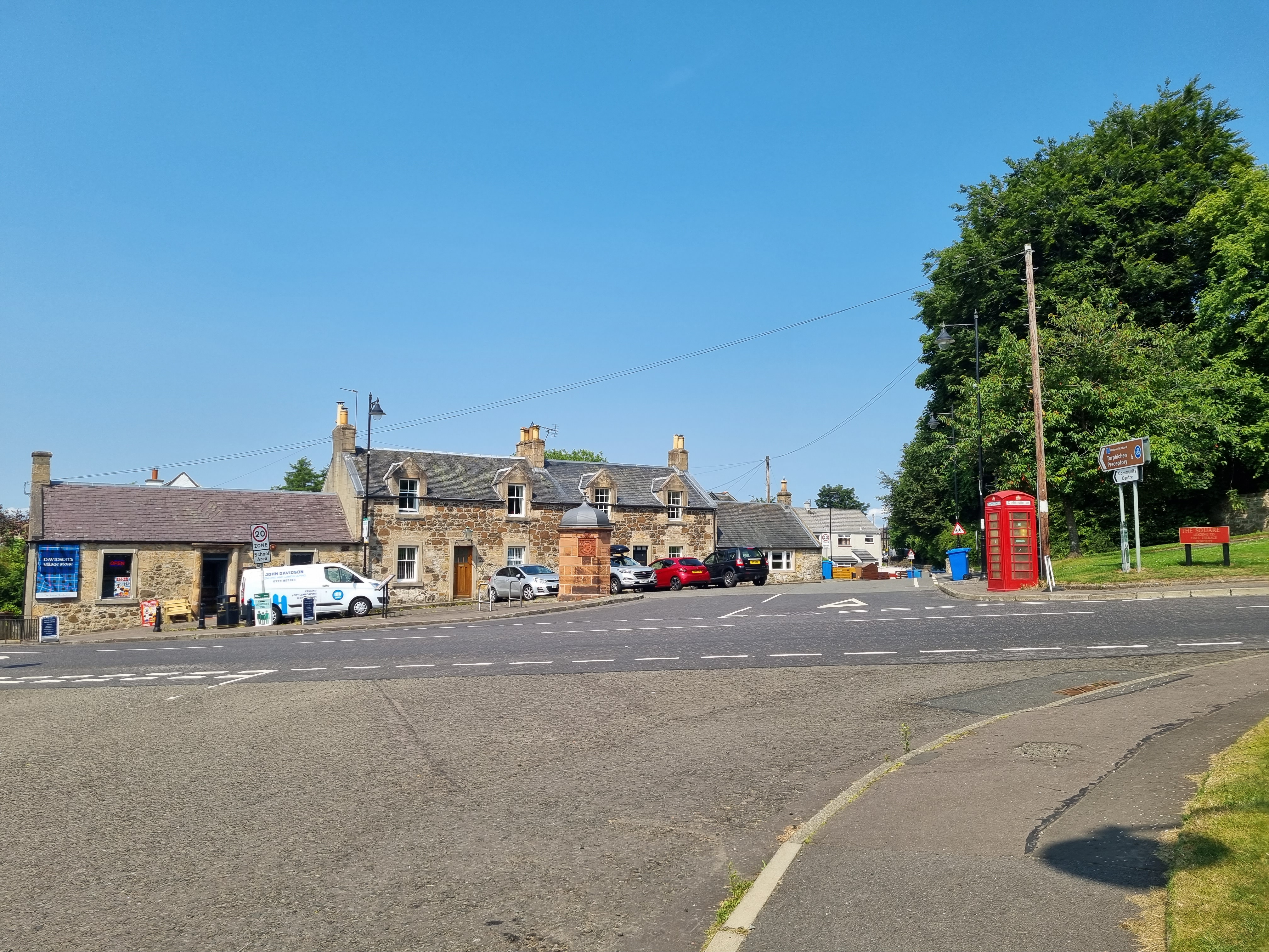
Craw Wood Images
Images are sourced within 2km of 55.932549/-3.6688037 or Grid Reference NS9572. Thanks to Geograph Open Source API. All images are credited.

Craw Wood is located at Grid Ref: NS9572 (Lat: 55.932549, Lng: -3.6688037)
Unitary Authority: West Lothian
Police Authority: The Lothians and Scottish Borders
What 3 Words
///microfilm.payer.healthier. Near Bathgate, West Lothian
Nearby Locations
Related Wikis

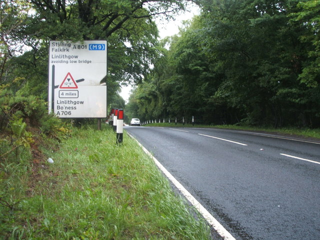
A801 road
The A801 is a road in Scotland which runs from east of Polmont to the A705 near Whitburn that heads towards Livingston in the other direction. The A801...
Torphichen
Torphichen ( tor-FIKH-ən) is a historic small village located north of Bathgate in West Lothian, Scotland. The village is approximately 18 miles (29 km...
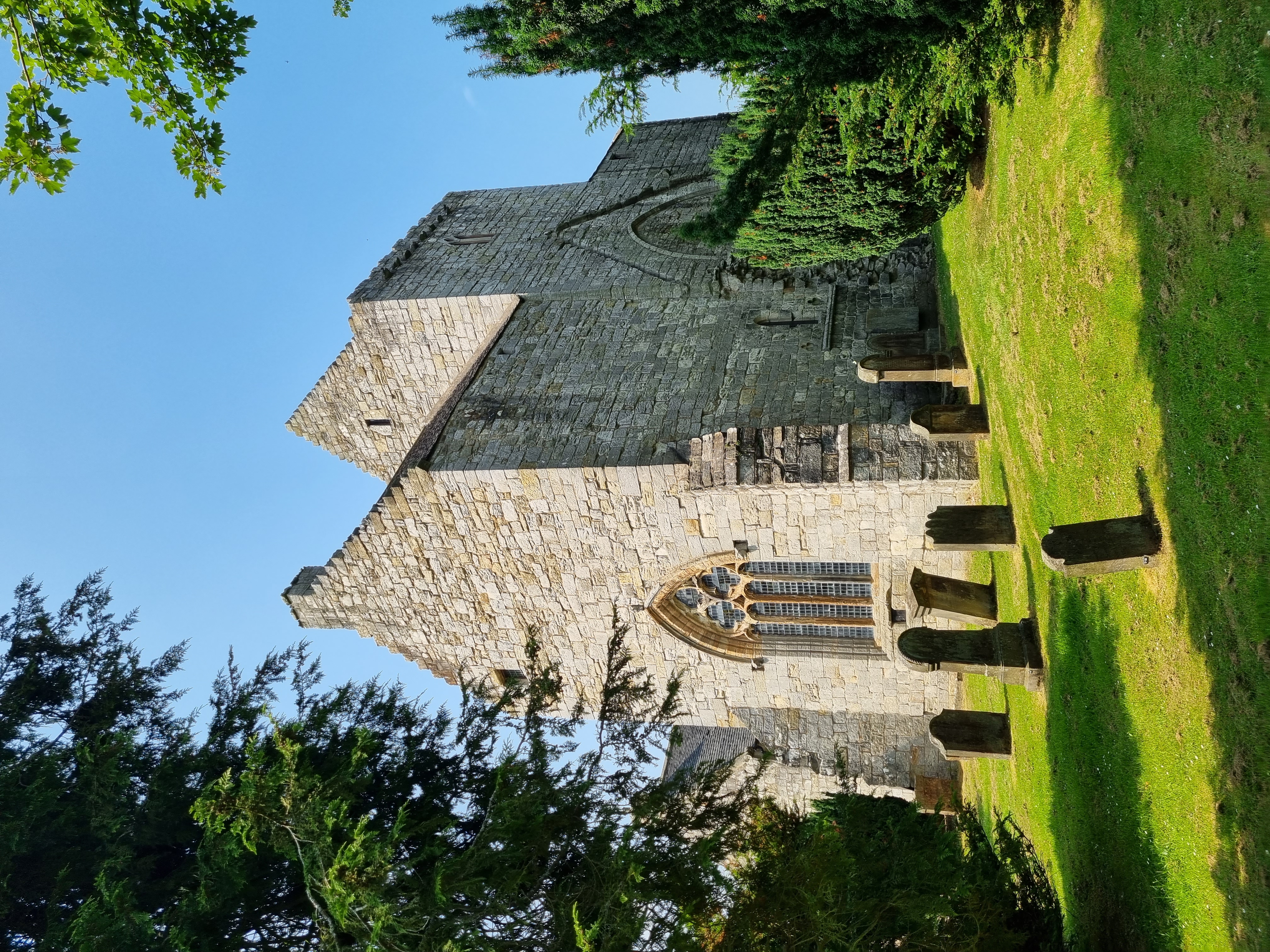
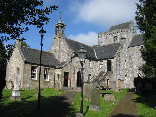
Torphichen Preceptory
Torphichen Preceptory is a church in the village of Torphichen, West Lothian, Scotland. It comprises the remains of the preceptory (headquarters) of the...

Westfield, West Lothian
Westfield (Scottish Gaelic: an t-Achadh Siar) is a small village of around 180 houses located in the parish of Torphichen in West Lothian, Scotland....
Nearby Amenities
Located within 500m of 55.932549,-3.6688037Have you been to Craw Wood?
Leave your review of Craw Wood below (or comments, questions and feedback).