Bagpath
Settlement in Gloucestershire Stroud
England
Bagpath
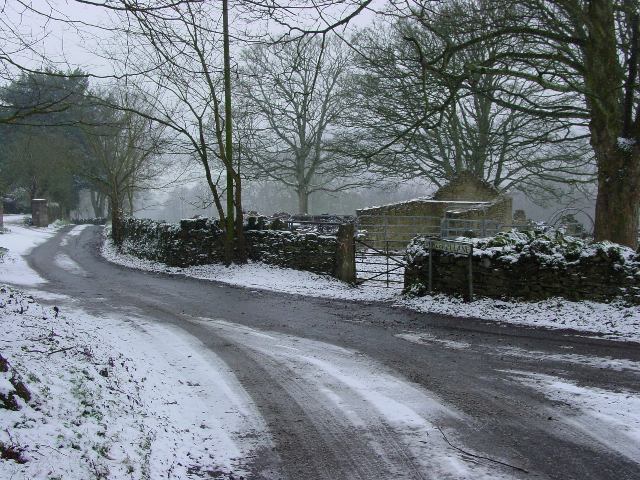
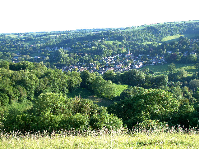
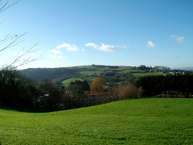
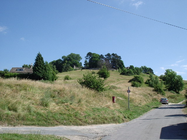
Bagpath is a small village located in the county of Gloucestershire, England. Situated in the Cotswolds, this picturesque settlement is nestled between the towns of Stroud and Tetbury. Bagpath is known for its idyllic rural setting, characterized by rolling hills, lush green fields, and charming stone cottages.
The village itself consists of a small cluster of houses, with a population of around 200 residents. It retains a sense of tranquility and seclusion, making it an ideal destination for those seeking a peaceful retreat from the hustle and bustle of city life. Many of the buildings in Bagpath date back to the 18th and 19th centuries, adding to its quaint and timeless atmosphere.
Nature enthusiasts will find plenty to explore in the surrounding area. Bagpath is surrounded by the beautiful Cotswold countryside, offering a myriad of walking trails and scenic viewpoints. The nearby Westonbirt Arboretum is a popular attraction, boasting an impressive collection of trees and plants from around the world. Additionally, the village is within close proximity to the Cotswold Way, a long-distance footpath that stretches for 102 miles and showcases the region's stunning landscapes.
Despite its small size, Bagpath is not entirely secluded. The village benefits from its proximity to larger towns, such as Stroud and Tetbury, which provide residents with access to essential amenities and services. Overall, Bagpath is a charming and peaceful village that offers a serene escape into the heart of the Cotswolds.
If you have any feedback on the listing, please let us know in the comments section below.
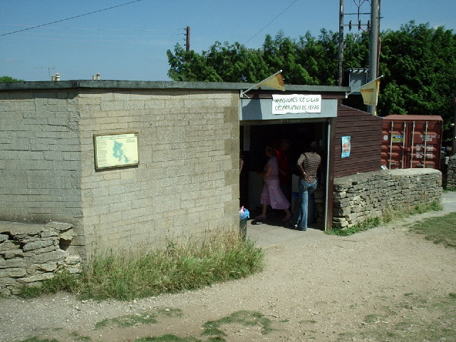
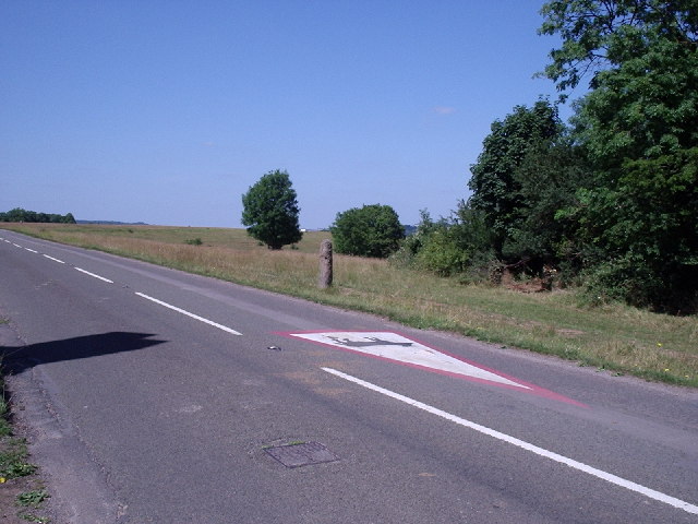
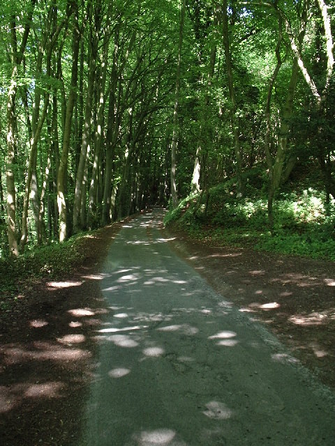
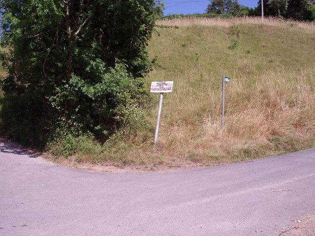
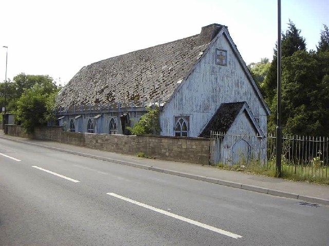
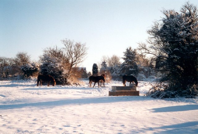
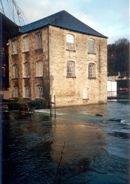
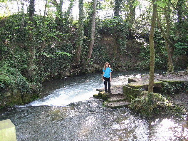
Bagpath Images
Images are sourced within 2km of 51.724237/-2.204827 or Grid Reference SO8502. Thanks to Geograph Open Source API. All images are credited.


Bagpath is located at Grid Ref: SO8502 (Lat: 51.724237, Lng: -2.204827)
Administrative County: Gloucestershire
District: Stroud
Police Authority: Gloucestershire
What 3 Words
///poses.initial.dumpling. Near Brimscombe, Gloucestershire
Nearby Locations
Related Wikis

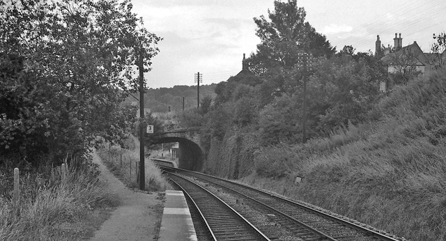
Ham Mill Halt railway station
Ham Mill Halt was opened on 12 October 1903 on what is now the Golden Valley Line between Kemble and Stroud. This line was opened in 1845 as the Cheltenham...

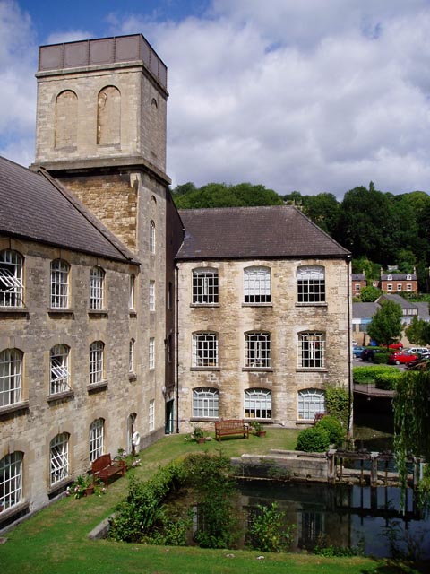
Brimscombe and Thrupp
Brimscombe and Thrupp (grid reference SO862032) is a civil parish made up of the villages of Thrupp and Brimscombe, in the narrow Frome Valley slightly...
Brimscombe & Thrupp F.C.
Brimscombe and Thrupp Football Club is a football club based in Brimscombe, Gloucestershire, England. Affiliated to the Gloucestershire County FA, they...
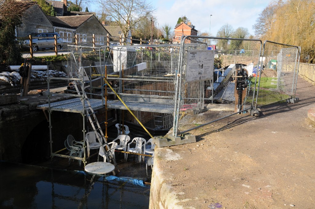
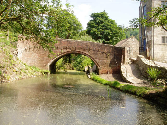
Bowbridge
Bowbridge is a village in Gloucestershire, England, on the outskirts of Stroud. Bowbridge Lock on the Thames and Severn Canal is in the process of restoration...

Rodborough Common, Gloucestershire
Rodborough Common is a 116.0-hectare (287-acre) biological and geological Site of Special Scientific Interest in Gloucestershire, notified in 1954. The...
Brimscombe Bridge Halt railway station
Brimscombe Bridge Halt was opened on 1 February 1904 on what is now the Golden Valley Line between Kemble and Stroud. This line was opened in 1845 as the...

Bowbridge Crossing Halt railway station
Bowbridge Crossing Halt was opened on 1 May 1905 on what is now the Golden Valley Line between Kemble and Stroud. This line was opened in 1845 as the Cheltenham...
Nether Lypiatt Manor
Nether Lypiatt Manor is a compact, neo-Classical manor house in the mainly rural parish of Thrupp, near Stroud in Gloucestershire. It was formerly the...
Nearby Amenities
Located within 500m of 51.724237,-2.204827Have you been to Bagpath?
Leave your review of Bagpath below (or comments, questions and feedback).