Bagnor

Settlement in Berkshire

England

Bagnor

The A34 looking northbound
The A34 looking northbound Credit: Steve Daniels

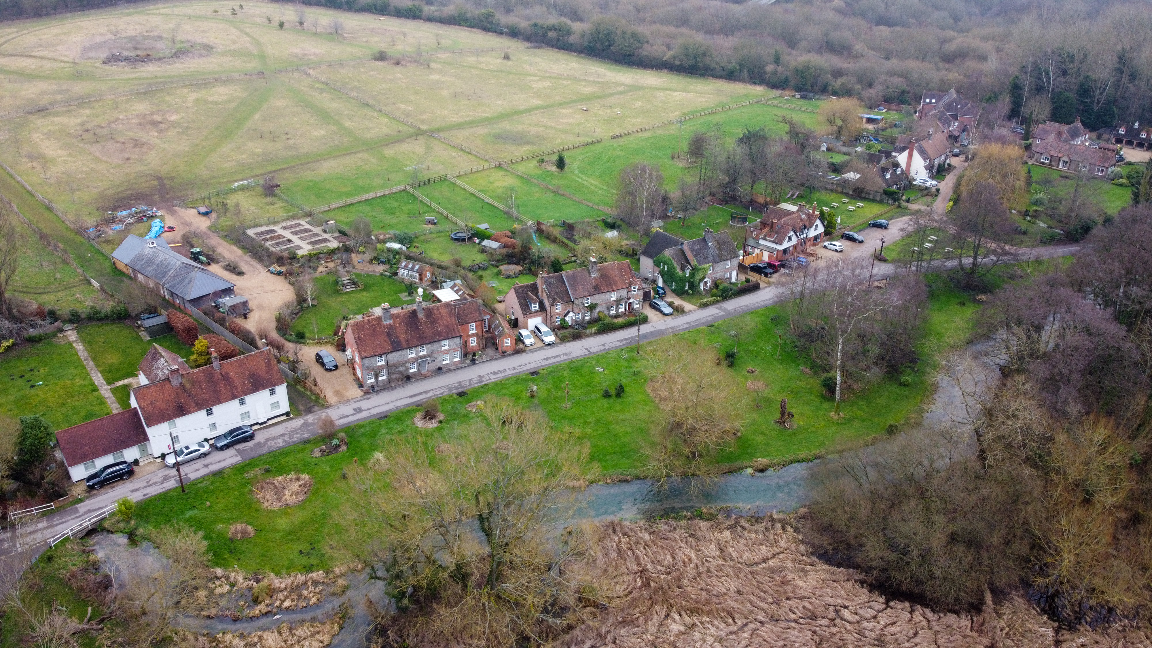
Bagnor is a small village located in Berkshire, England. Situated approximately 4 miles north of the town of Newbury, Bagnor is known for its picturesque surroundings and historic charm. The village is nestled in the beautiful Lambourn Valley, surrounded by rolling hills and lush green fields.

Bagnor is home to a population of around 150 people, making it a close-knit community. The village maintains its rural character, with many traditional thatched cottages and historic buildings still intact. One of the notable landmarks in Bagnor is the Watermill Theatre, which was converted from an 18th-century watermill and offers a range of theatrical performances throughout the year.

The village is also known for its connection to the famous English author, Thomas Hardy. Hardy visited Bagnor in 1874 and stayed at the historic Red House, which still stands today. The village's quaint atmosphere and natural beauty have made it a popular destination for visitors looking to explore the English countryside.

Bagnor offers a range of amenities for both residents and visitors. There is a village pub, The Red House, which serves traditional British food and drink. The village also has a small community center and a local primary school. Additionally, Bagnor is a short distance away from Newbury, where residents can find a wider range of shops, restaurants, and leisure facilities.

Overall, Bagnor is a charming village in Berkshire that offers a peaceful retreat from the hustle and bustle of nearby towns. Its idyllic setting, historic buildings, and sense of community make it a delightful place to visit or call home.

If you have any feedback on the listing, please let us know in the comments section below.
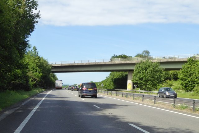
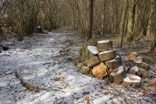
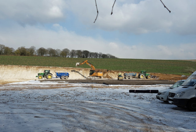
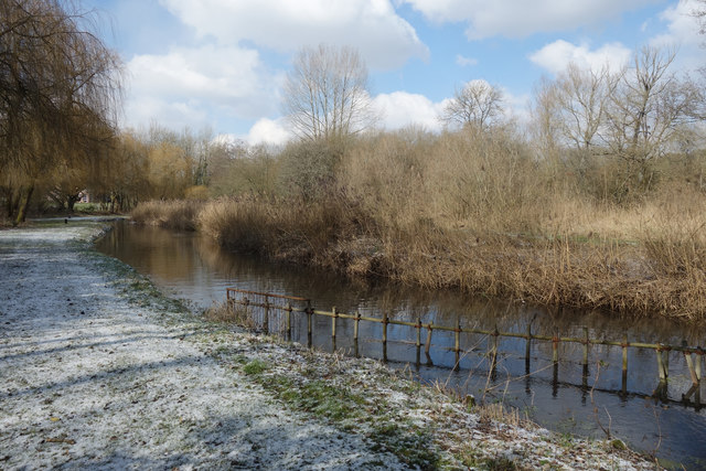
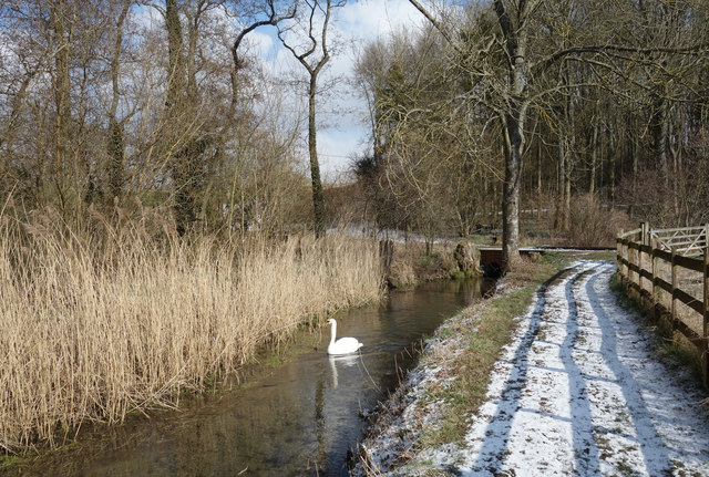
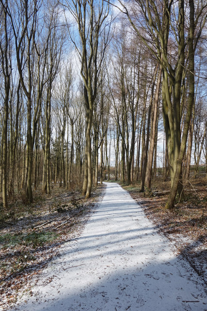
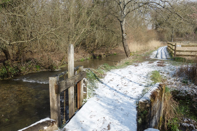
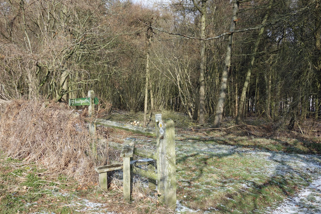
Bagnor Images

Images are sourced within 2km of 51.421752/-1.349187 or Grid Reference SU4569. Thanks to Geograph Open Source API. All images are credited.

The A34 looking northbound
Fire & Flood Snelsmore Common is a variable environment. In dry weather, fire on the gorse and heather heath is a constant threat, hence the need for this watchtower.
But in wet weather, many areas become very waterlogged.
Fire & Flood
Snelsmore Common is a variable environment. In dry weather, fire on the gorse and heather heath is a constant threat, hence the need for this watchtower. But in wet weather, many areas become very waterlogged.
Fire Beaters, Snelsmore Common
Winterbourne Ford This ford is found on the Winterbourne Stream beside Kimber Cottage. The ford was once much wider but has now been replaced by a bridge.
Winterbourne Ford
This ford is found on the Winterbourne Stream beside Kimber Cottage. The ford was once much wider but has now been replaced by a bridge.
B4494 bridge over A34 The A34 is a major road which runs from the A33 and M3 at Winchester in Hampshire, to the A6 & A6042 in Salford, Greater Manchester. It forms a large part of the major trunk route from Southampton, via Oxford, to Birmingham, The Potteries and Manchester.

The road is in two sections. The northern section runs south through Manchester and Cheadle, and bypasses Handforth, Wilmslow and Alderley Edge, before passing through Congleton, Newcastle-under-Lyme, and the southern suburbs of Stoke-on-Trent. It then continues south via Stone, Stafford, Cannock and Walsall, passes through the middle of Birmingham (where it briefly merges with the A41), before meeting the M42 motorway at junction 4 south of Solihull.

The southern section begins some 50 miles (80 km) to the south, at junction 9 of the M40 motorway, 10 miles (16 km) north of Oxford. It continues south as the western part of the Oxford Ring Road, crossing the River Thames on the A34 Road Bridge. It then bypasses Abingdon, Didcot, and Newbury before finally finishing just east of Winchester, at junction 9 of the M3 motorway. This part of the A34 is dual carriageway throughout.

Together with parts of the M3 and the M40, the southern section of the A34 forms an important route carrying freight from Southampton to the Midlands. Because of the volume of traffic, bypasses were built along this route; at Newbury on the A34, and at Twyford Down near Winchester on the M3, but these were controversial for environmental reasons and were the scene of significant direct action environmental protests in the 1990s. Instead of cutting a short road tunnel through Twyford Down, the entire escarpment was carved-out and the motorway placed through it.

(abridged from Wikipedia <span class="nowrap"><a title="http://en.wikipedia.org/wiki/A34_road" rel="nofollow ugc noopener" href="http://en.wikipedia.org/wiki/A34_road">Link</a><img style="margin-left:2px;" alt="External link" title="External link - shift click to open in new window" src="https://s1.geograph.org.uk/img/external.png" width="10" height="10"/></span> )
B4494 bridge over A34
The A34 is a major road which runs from the A33 and M3 at Winchester in Hampshire, to the A6 & A6042 in Salford, Greater Manchester. It forms a large part of the major trunk route from Southampton, via Oxford, to Birmingham, The Potteries and Manchester. The road is in two sections. The northern section runs south through Manchester and Cheadle, and bypasses Handforth, Wilmslow and Alderley Edge, before passing through Congleton, Newcastle-under-Lyme, and the southern suburbs of Stoke-on-Trent. It then continues south via Stone, Stafford, Cannock and Walsall, passes through the middle of Birmingham (where it briefly merges with the A41), before meeting the M42 motorway at junction 4 south of Solihull. The southern section begins some 50 miles (80 km) to the south, at junction 9 of the M40 motorway, 10 miles (16 km) north of Oxford. It continues south as the western part of the Oxford Ring Road, crossing the River Thames on the A34 Road Bridge. It then bypasses Abingdon, Didcot, and Newbury before finally finishing just east of Winchester, at junction 9 of the M3 motorway. This part of the A34 is dual carriageway throughout. Together with parts of the M3 and the M40, the southern section of the A34 forms an important route carrying freight from Southampton to the Midlands. Because of the volume of traffic, bypasses were built along this route; at Newbury on the A34, and at Twyford Down near Winchester on the M3, but these were controversial for environmental reasons and were the scene of significant direct action environmental protests in the 1990s. Instead of cutting a short road tunnel through Twyford Down, the entire escarpment was carved-out and the motorway placed through it. (abridged from Wikipedia LinkExternal link )
Lay-by by A34 The A34 is on an embankment here, which means that the embankment has been made wider to give space for this lay-by
Lay-by by A34
The A34 is on an embankment here, which means that the embankment has been made wider to give space for this lay-by
Snelsmore Common Fire Tower
Snelsmore Common
Fire Tower
A34 northbound
A34 northbound
Logs in Bagnor Wood
Logs in Bagnor Wood
Digging at Copse Barn A large site being developed next to the farm buildings already there.
Digging at Copse Barn
A large site being developed next to the farm buildings already there.
The Lambourn at Hunt's Green
Swan on the Lambourn This is a side channel around some old water meadows.
Swan on the Lambourn
This is a side channel around some old water meadows.
Lambourn Valley Way in the Snow In a wood called Jannaways.
Lambourn Valley Way in the Snow
In a wood called Jannaways.
Sluice Gate on the Lambourn The river divides into several channels here and flows around some old water meadows.
Sluice Gate on the Lambourn
The river divides into several channels here and flows around some old water meadows.
Redundant Stile by Bagnor Wood With the adjacent gate gone the stile is no longer so useful.
Redundant Stile by Bagnor Wood
With the adjacent gate gone the stile is no longer so useful.
Signage on A34 southbound
Woodland, Winterbourne A path descending near the south-western edge of Snelsmore Common.
Woodland, Winterbourne
A path descending near the south-western edge of Snelsmore Common.
B4494 crossing A34 southbound
Show me another place!

Bagnor is located at Grid Ref: SU4569 (Lat: 51.421752, Lng: -1.349187)

Unitary Authority: West Berkshire

Police Authority: Thames Valley

What 3 Words

///lollipop.tensions.lyricist. Near Winterbourne, Berkshire

Related Wikis

Bagnor

Bagnor is a village close to the town of Newbury in the English county of Berkshire and situated on the banks of the River Lambourn. At the 2011 census...
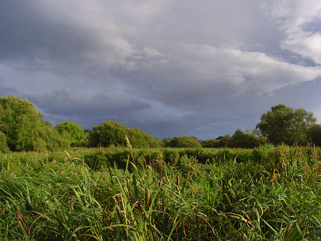
Rack Marsh

Rack Marsh is a 4-hectare (9.9-acre) nature reserve in Bagnor, on the north-western outskirts of Newbury in Berkshire. It is managed by the Berkshire...
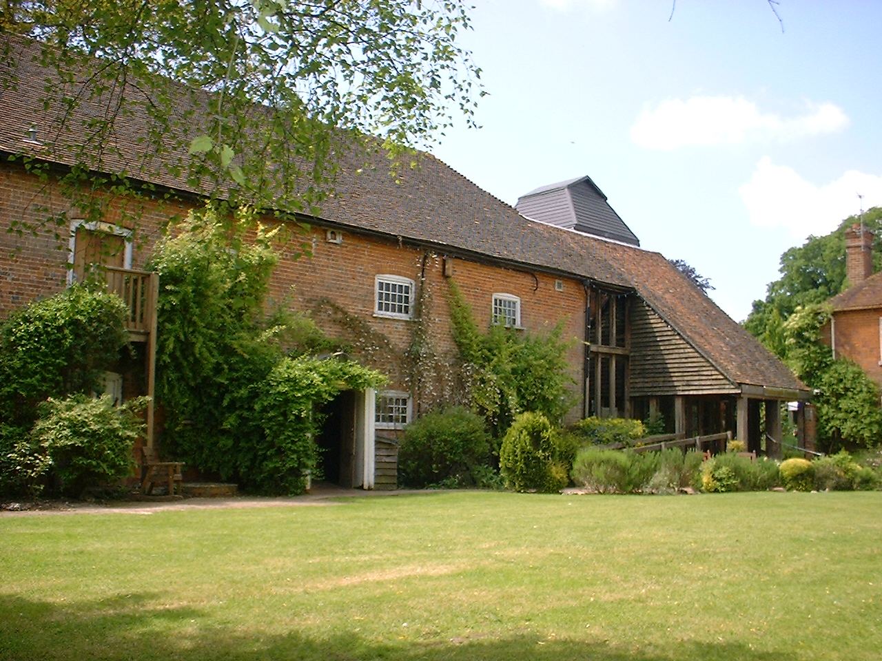
Watermill Theatre

The Watermill Theatre is a repertory theatre in Bagnor, Berkshire. It opened in 1967 in Bagnor Mill, a converted watermill on the River Lambourn. As a...

Donnington Grove

Donnington Grove is a Strawberry Hill Gothic mansion, now a hotel and country club, and associated Golf Course at Donnington in the civil parish of Shaw...
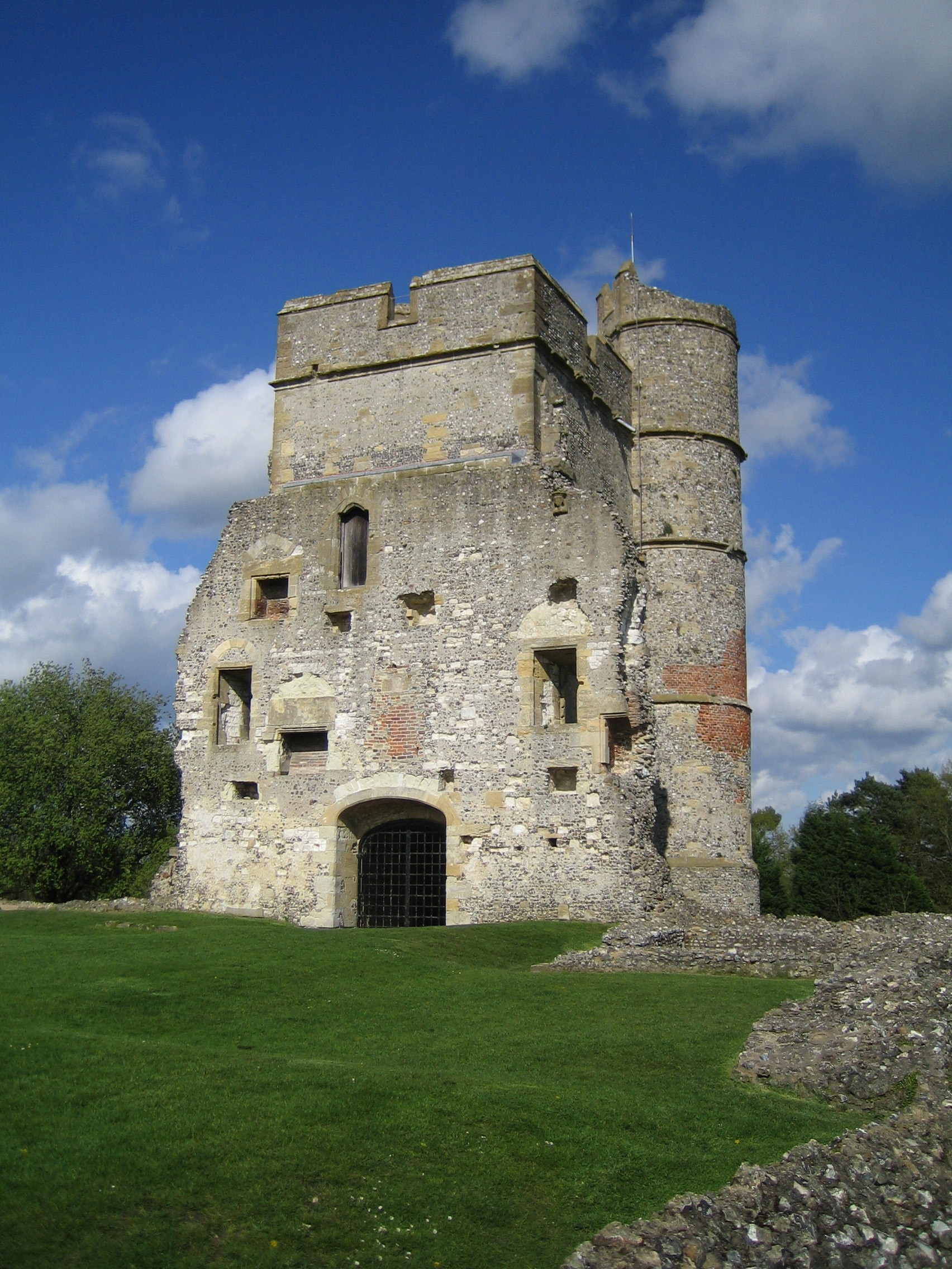
Donnington Castle

Donnington Castle is a ruined medieval castle, situated in the small village of Donnington, just north of the town of Newbury in the English county of...

Woodspeen

Woodspeen is a village in Berkshire, England, and part of the civil parish of Speen. The settlement lies near to the A34 road (Newbury Bypass), and is...

Honey Bottom

Honey Bottom (also written as Honeybottom) is a hamlet in the civil parish of Shaw-cum-Donnington in the English county of Berkshire. The settlement lies...

Stockcross and Bagnor Halt railway station

Stockcross and Bagnor Halt railway station was a railway station near Newbury, Berkshire, UK, on the Lambourn Valley Railway. It served the villages of...

Nearby Amenities

Located within 500m of 51.421752,-1.349187
Ford: yes
Lat/Long: 51.4215186/-1.3512993
Pub
Blackbird
Wikidata: Q91928088
Lat/Long: 51.4209656/-1.349398
Ford: yes
Lat/Long: 51.4208002/-1.3515942
Barrier: kissing_gate
Foot: yes
Horse: no
Motor Vehicle: no
Lat/Long: 51.4199536/-1.3529769
Material: wood
Power: pole
Lat/Long: 51.4233856/-1.3446509
Power: pole
Lat/Long: 51.4233205/-1.3468455
Power: pole
Lat/Long: 51.4231182/-1.3464013
Power: pole
Lat/Long: 51.4236361/-1.3475152
Power: pole
Lat/Long: 51.4241855/-1.3476789
Power: pole
Lat/Long: 51.4250953/-1.3478182
Power: pole
Lat/Long: 51.4260284/-1.347937
Toilets
Lat/Long: 51.4217284/-1.3524077
Post Box
Note: Royal cypher is inscribed as ER (rather than presumably EVIIR - guessing from the age of postbox))
Operator: Royal Mail
Operator Wikidata: Q638098
Post Box Type: wall
Ref: RG20 6
Royal Cypher: ER
Lat/Long: 51.4216614/-1.3505432
The data included in this document is from www.openstreetmap.org. The data is made available under ODbL.

Have you been to Bagnor?

Leave your review of Bagnor below (or comments, questions and feedback).