Bagnor Marsh
Lake, Pool, Pond, Freshwater Marsh in Berkshire
England
Bagnor Marsh

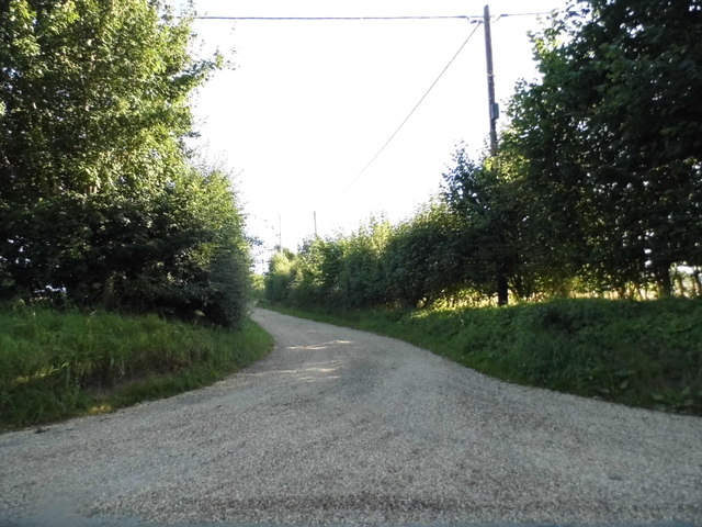
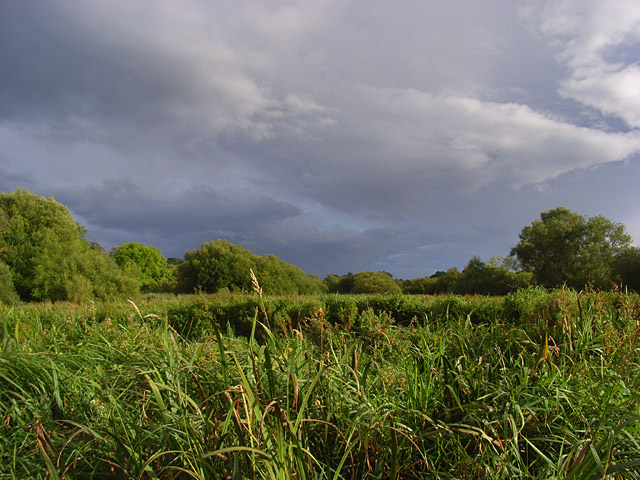
Bagnor Marsh is a freshwater marsh located in the county of Berkshire, England. Situated near the village of Bagnor, it is a picturesque and ecologically significant area, covering an approximate area of 20 hectares.
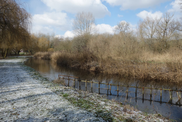
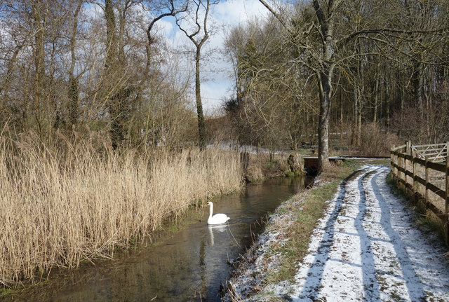
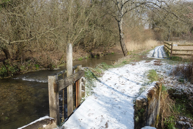
The marsh is characterized by its diverse wetland habitat, which consists of a combination of open water, reed beds, and wet meadows. It is fed by a number of small streams and springs, resulting in a constant flow of freshwater that supports a rich and varied ecosystem.
The open water areas of Bagnor Marsh serve as a habitat for various aquatic plants and animals. Water lilies and other floating plants can be found dotting the surface, providing shelter and food for numerous invertebrates and fish species. Common waterfowl, such as ducks and geese, are often seen swimming and foraging in the marsh.
The marsh also boasts extensive reed beds, which provide essential nesting sites for a variety of bird species. Reed warblers, sedge warblers, and reed buntings are commonly found in these areas, along with secretive species such as bitterns and marsh harriers. These reed beds also act as a natural filtration system, purifying the water as it flows through them.
The wet meadows surrounding the marsh are home to a range of plant species, including various types of grasses, sedges, and wildflowers. These meadows provide important feeding grounds for grazing animals, such as water voles and marsh frogs.
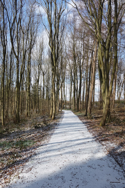
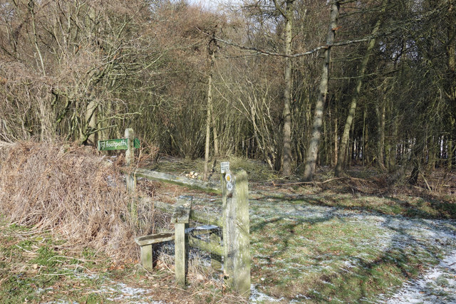
Bagnor Marsh is a significant site for wildlife conservation and is protected as a designated nature reserve. It offers visitors the opportunity to observe and appreciate the diverse flora and fauna that thrive in this unique freshwater marsh ecosystem.
If you have any feedback on the listing, please let us know in the comments section below.
Bagnor Marsh Images
Images are sourced within 2km of 51.425145/-1.3516665 or Grid Reference SU4569. Thanks to Geograph Open Source API. All images are credited.


Bagnor Marsh is located at Grid Ref: SU4569 (Lat: 51.425145, Lng: -1.3516665)
Unitary Authority: West Berkshire
Police Authority: Thames Valley
What 3 Words
///combining.enjoy.pronouns. Near Winterbourne, Berkshire
Nearby Locations
Related Wikis
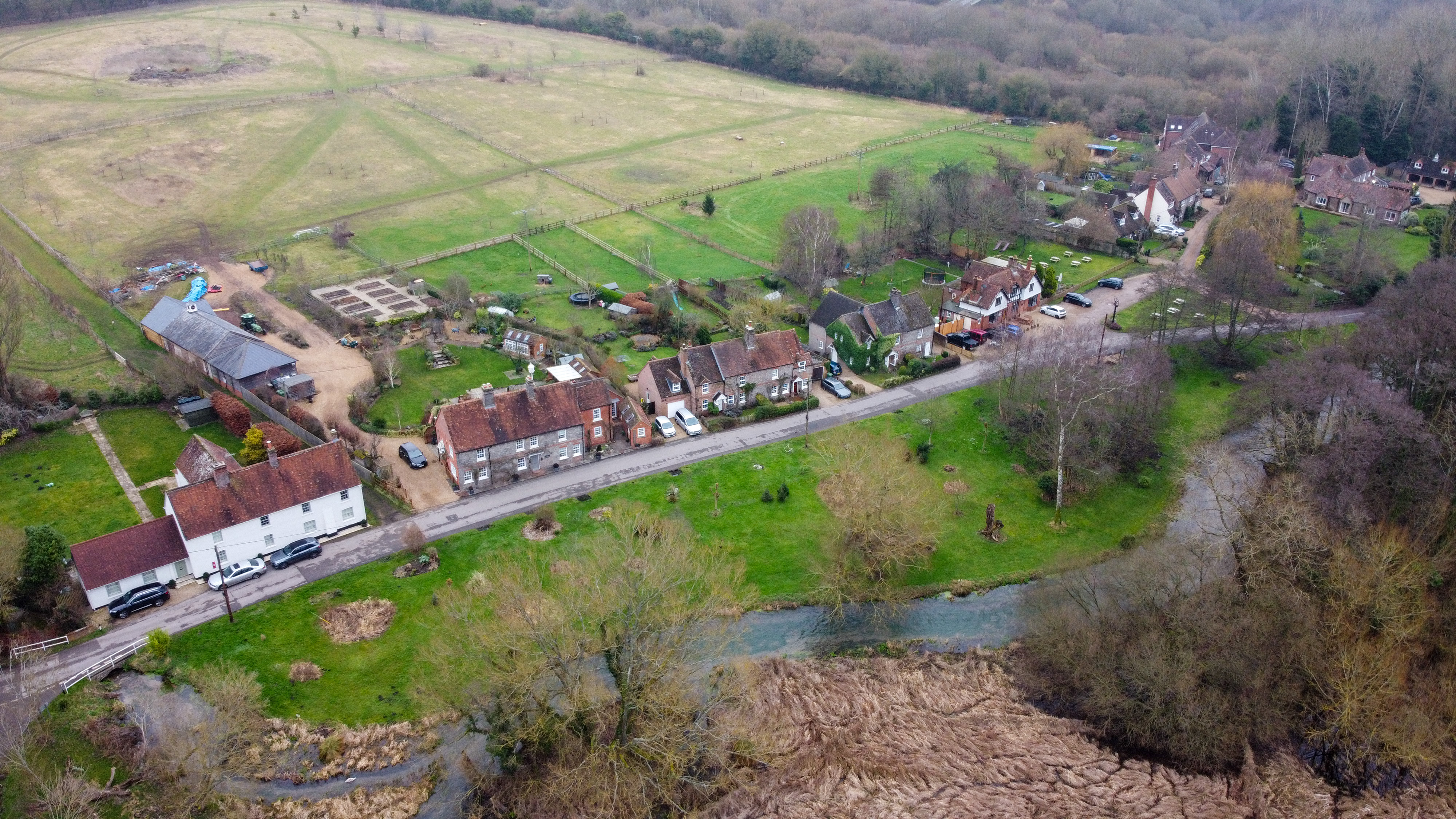
Bagnor
Bagnor is a village close to the town of Newbury in the English county of Berkshire and situated on the banks of the River Lambourn. At the 2011 census...
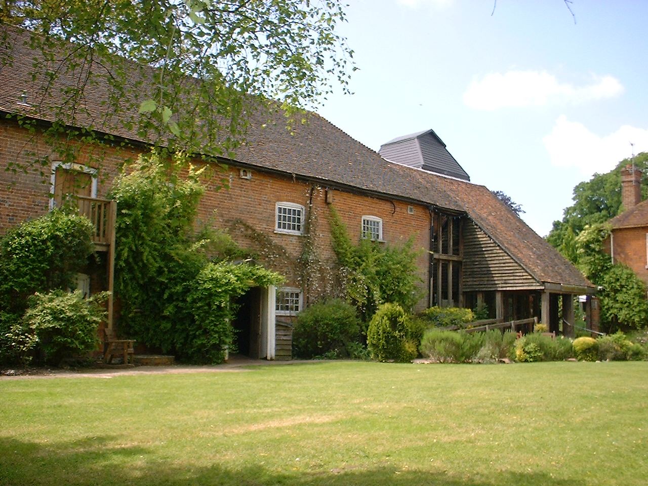
Watermill Theatre
The Watermill Theatre is a repertory theatre in Bagnor, Berkshire. It opened in 1967 in Bagnor Mill, a converted watermill on the River Lambourn. As a...
Rack Marsh
Rack Marsh is a 4-hectare (9.9-acre) nature reserve in Bagnor, on the north-western outskirts of Newbury in Berkshire. It is managed by the Berkshire...

Honey Bottom
Honey Bottom (also written as Honeybottom) is a hamlet in the civil parish of Shaw-cum-Donnington in the English county of Berkshire. The settlement lies...

Woodspeen
Woodspeen is a village in Berkshire, England, and part of the civil parish of Speen. The settlement lies near to the A34 road (Newbury Bypass), and is...
Donnington Grove
Donnington Grove is a Strawberry Hill Gothic mansion, now a hotel and country club, and associated Golf Course at Donnington in the civil parish of Shaw...

Stockcross and Bagnor Halt railway station
Stockcross and Bagnor Halt railway station was a railway station near Newbury, Berkshire, UK, on the Lambourn Valley Railway. It served the villages of...
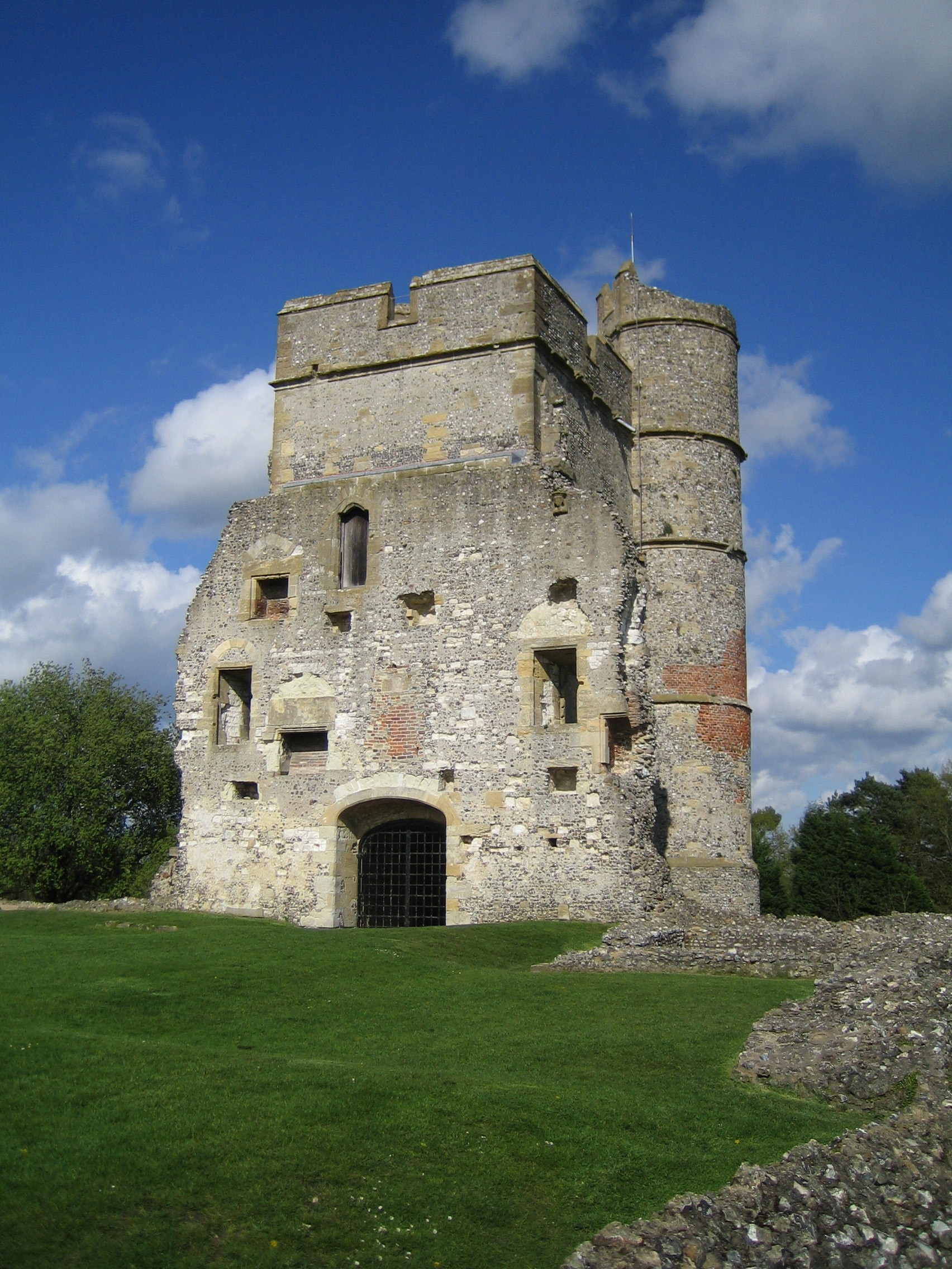
Donnington Castle
Donnington Castle is a ruined medieval castle, situated in the small village of Donnington, just north of the town of Newbury in the English county of...
Nearby Amenities
Located within 500m of 51.425145,-1.3516665Have you been to Bagnor Marsh?
Leave your review of Bagnor Marsh below (or comments, questions and feedback).