Booth of Swinister
Coastal Marsh, Saltings in Shetland
Scotland
Booth of Swinister
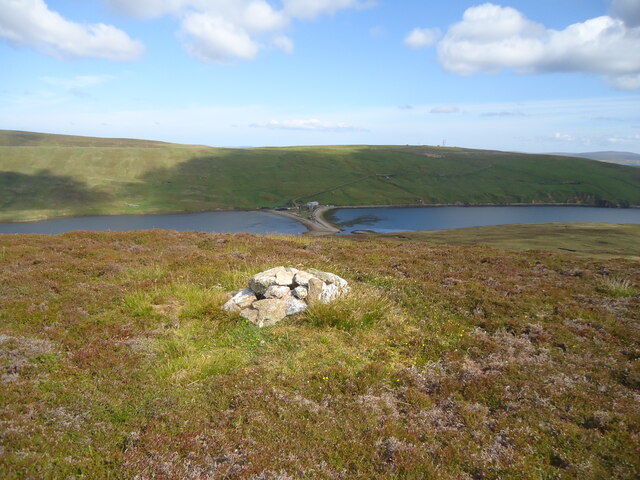
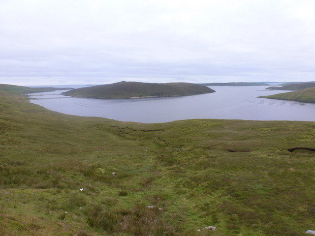
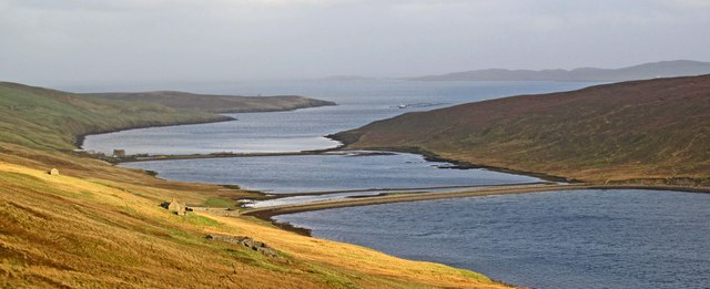
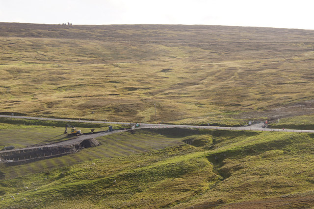
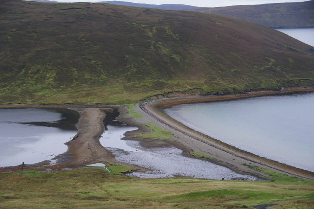
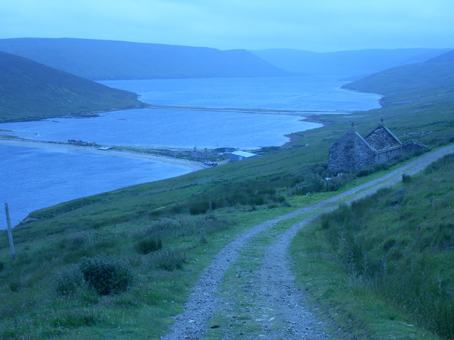
Booth of Swinister is a coastal marsh located in the Shetland Islands, Scotland. It lies on the east coast of the Mainland, the largest island in the Shetland archipelago, and is known for its unique saltings.
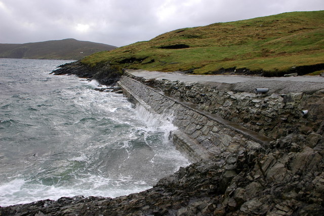
The marsh is situated at the mouth of Swinister Burn, a small river that flows into the North Sea. The area is characterized by its extensive salt marshes and mudflats, which are an important habitat for a variety of plant and animal species. These marshes are formed by the tidal action of the sea, which brings in saltwater and creates a brackish environment.
The saltings of Booth of Swinister provide a diverse range of habitats, supporting a rich biodiversity. The marshes are home to various grasses, sedges, and flowering plants that have adapted to the saline conditions. Common species found here include sea thrift, sea aster, and sea plantain.
The mudflats of Booth of Swinister also attract numerous bird species, especially during the migratory seasons. Visitors may spot waders such as curlews, oystercatchers, and redshanks, along with other coastal birds like gulls and terns.
Due to its ecological significance, Booth of Swinister has been designated as a Site of Special Scientific Interest (SSSI) to protect its fragile ecosystem. The area provides a valuable feeding ground and breeding site for various wildlife, contributing to the overall biodiversity of the Shetland Islands.
If you have any feedback on the listing, please let us know in the comments section below.
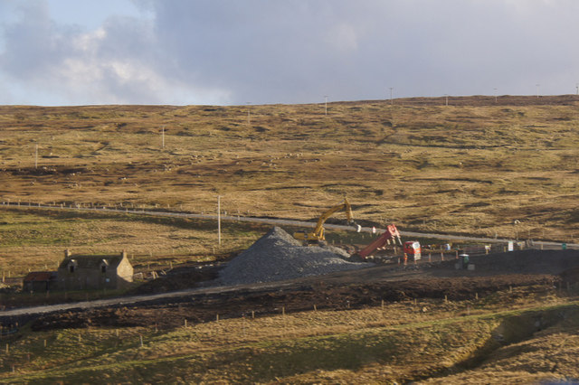
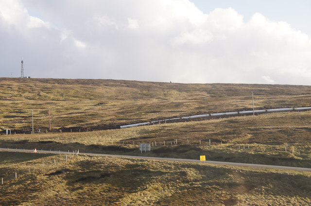
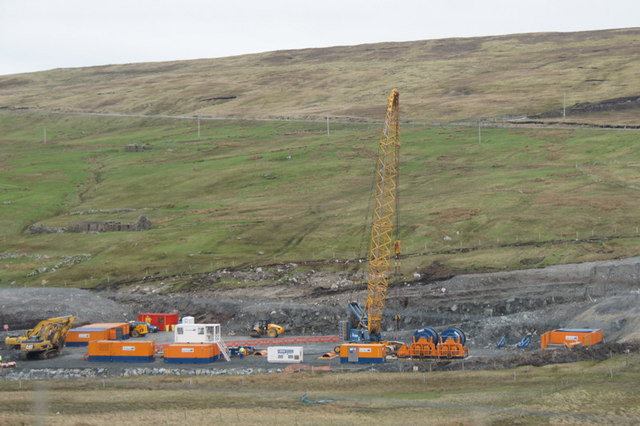
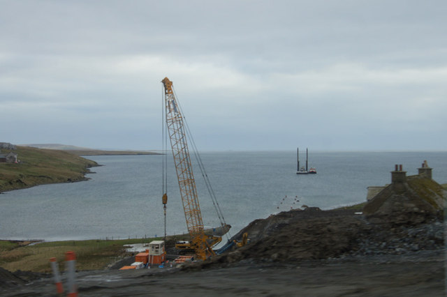
Booth of Swinister Images
Images are sourced within 2km of 60.433679/-1.1880601 or Grid Reference HU4472. Thanks to Geograph Open Source API. All images are credited.

Booth of Swinister is located at Grid Ref: HU4472 (Lat: 60.433679, Lng: -1.1880601)
Unitary Authority: Shetland Islands
Police Authority: Highlands and Islands
What 3 Words
///generally.croutons.arming. Near Toft, Shetland Islands
Nearby Locations
Related Wikis
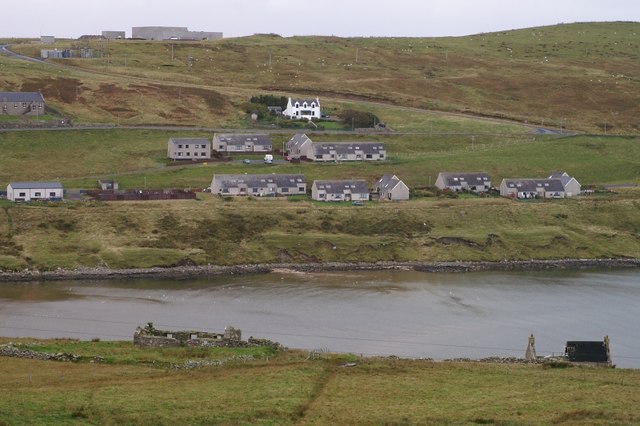
Firth, Shetland
Note: "Firth" is a common name for sounds in ShetlandFirth is a village in the north east of Mainland, Shetland, Scotland, in the parish of Delting, not...
Linga, Yell Sound
Linga is one of the Shetland Islands, in Yell Sound. == Geography and geology == Linga is an extremely common name in Shetland, meaning heather island...
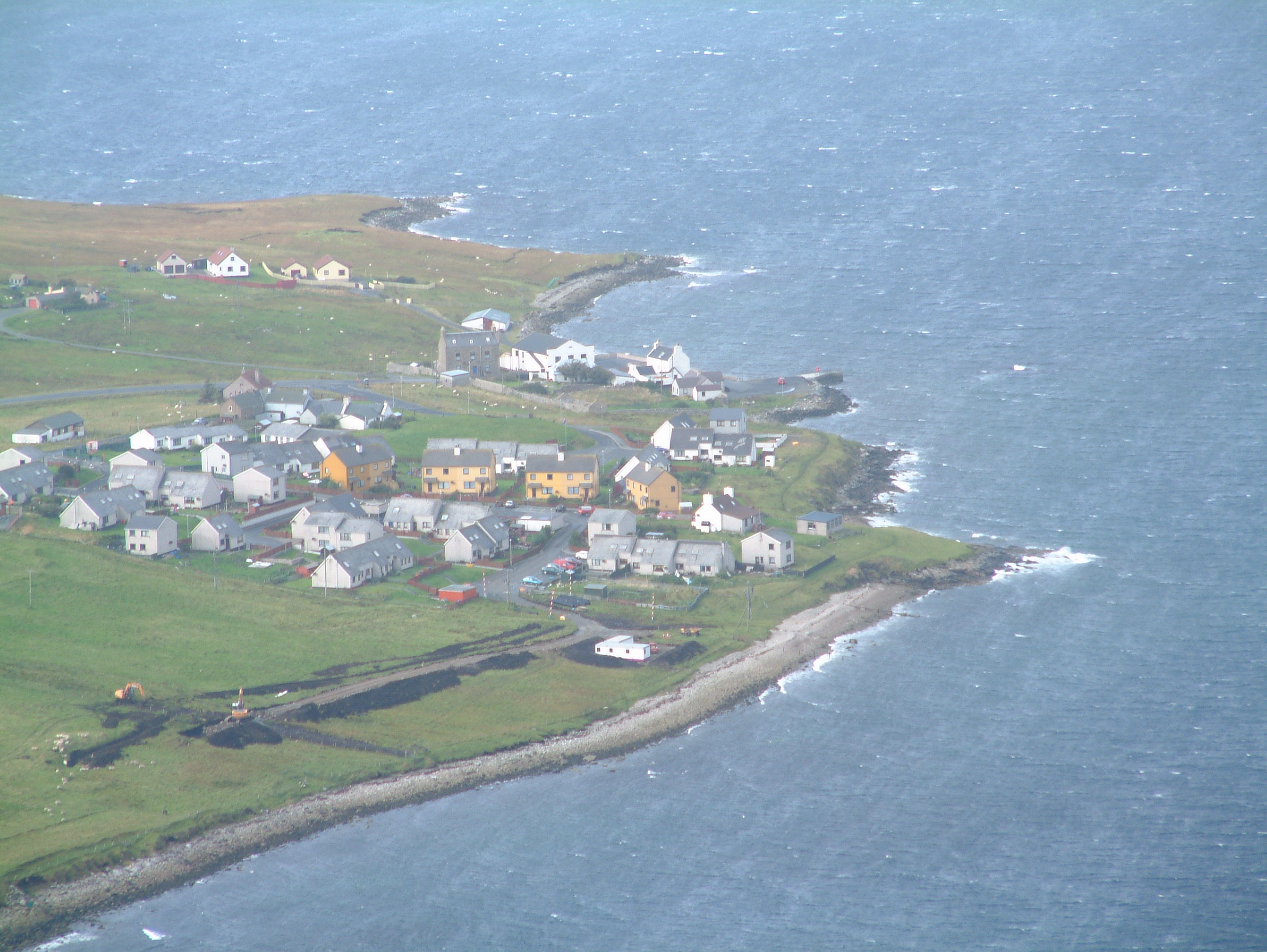
Mossbank, Shetland
Mossbank is a village in the north east of the Mainland of Shetland, Scotland. Originally served by an inter island ferry steamer from Lerwick, this ceased...
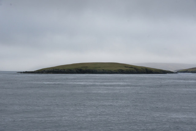
Fish Holm
Fish Holm is a small island, 1.5 miles (2.4 km) east of Mainland, Shetland. It is near the village of Mossbank. It is 20 metres (66 ft) at its highest...

North Mainland
The North Mainland of the Shetland Islands, Scotland is the part of the Mainland lying north of Voe (60° 21′N). == Geography == Notable places in North...

Samphrey
Samphrey (Scots: Samphrey; Old Norse: Sandfriðarey) is an uninhabited island in the Shetland Islands, Scotland. One of Fair Isle's old names is "Friðarey...

Toft, Shetland
Toft is a ferry port approximately one mile north of Mossbank on Mainland, Shetland, Scotland. From here, a car ferry service to Ulsta on the island of...

Lunna House
Lunna House is a 17th-century laird's house on Lunna Ness in the Shetland Islands. Lunna House is noted for having "the best historic designed landscape...
Nearby Amenities
Located within 500m of 60.433679,-1.1880601Have you been to Booth of Swinister?
Leave your review of Booth of Swinister below (or comments, questions and feedback).