The Houb
Sea, Estuary, Creek in Shetland
Scotland
The Houb
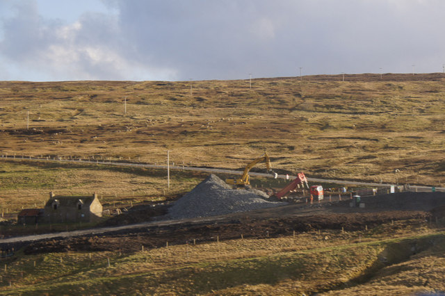
The Houb is a small sea inlet located on the east coast of Shetland, an archipelago in Scotland. It is classified as a sea, estuary, and creek due to its unique geographical features and functions.
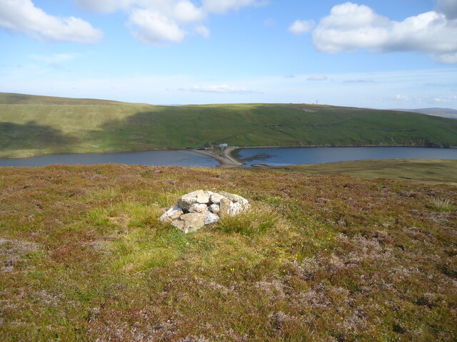
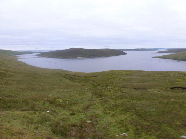
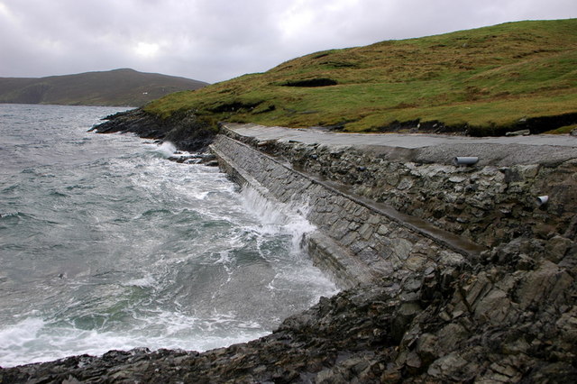
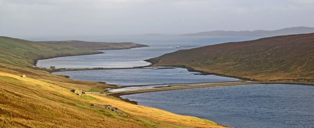
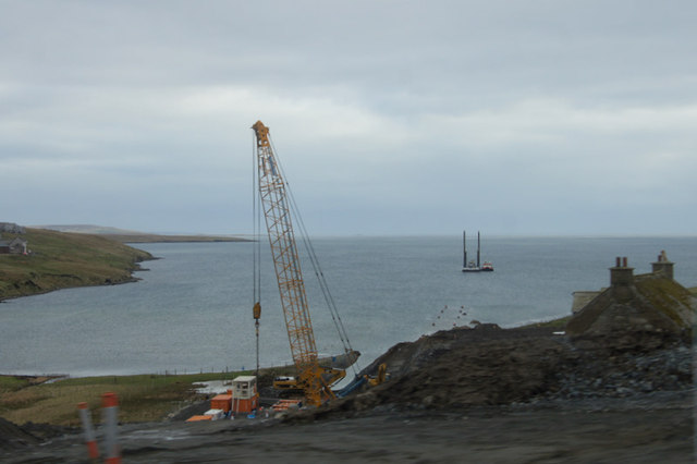
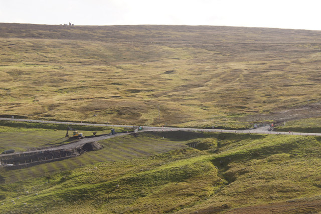
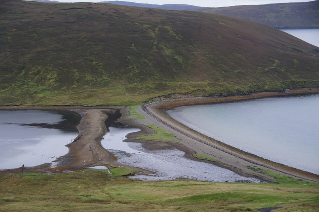
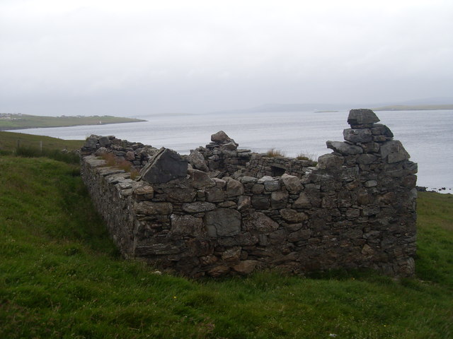
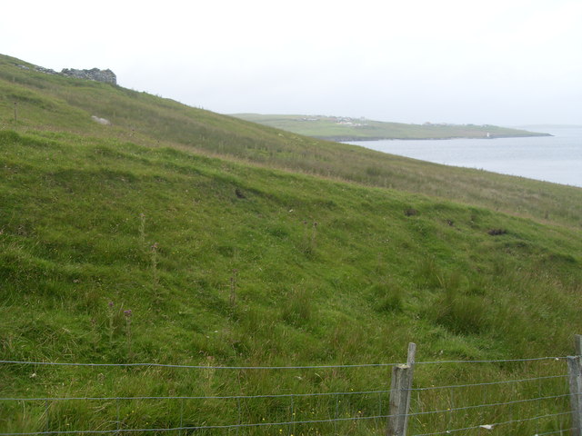
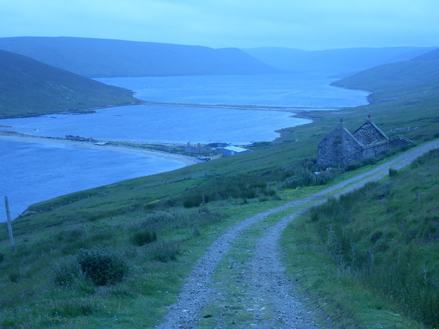
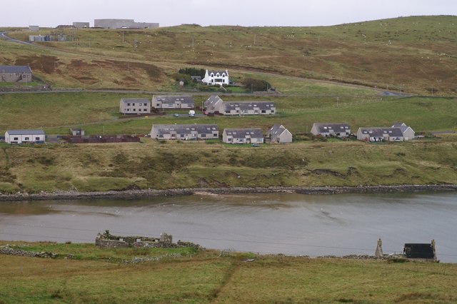
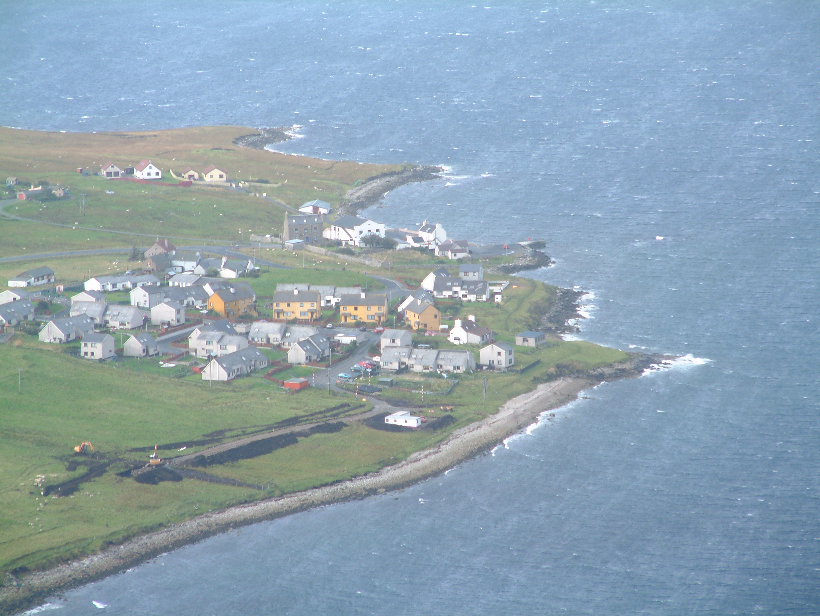
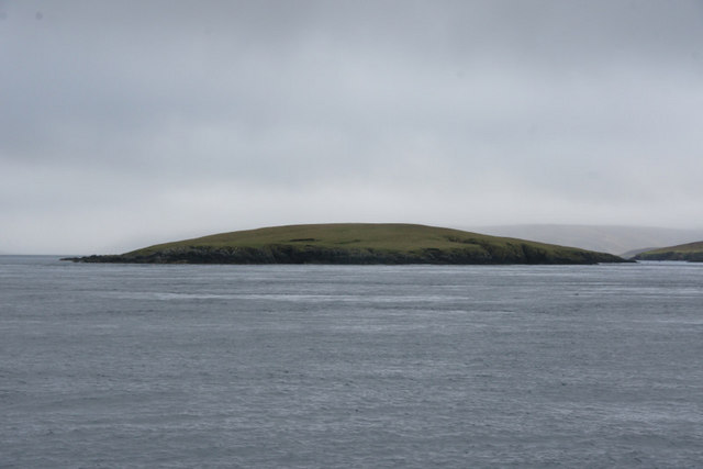
Situated between rocky cliffs and rolling hills, The Houb is a picturesque natural formation. Its entrance is marked by two prominent headlands, providing a narrow opening that leads into a sheltered bay. The bay expands into a wider estuary, characterized by calm waters and a sandy shoreline. During low tide, a sandy spit emerges, creating a natural barrier between the estuary and the sea.
The Houb is influenced by the tides, with water levels fluctuating throughout the day. This makes it a suitable habitat for a variety of marine life, including seals, otters, and various species of fish. The estuary and creek areas are particularly important for birdwatchers, as they attract a diverse range of seabirds and waders.
Local fishermen often utilize The Houb as a mooring spot for their small boats, taking advantage of the sheltered waters and abundant fish populations. The area is also popular among kayakers and paddleboarders, who explore the tranquil estuary and creek while enjoying the scenic beauty.
Visitors to The Houb can immerse themselves in the stunning natural surroundings, indulge in birdwatching or simply relax on the sandy beach. The area offers a peaceful retreat from the hustle and bustle of everyday life, allowing one to connect with nature and appreciate the beauty of Shetland's coastal landscape.
If you have any feedback on the listing, please let us know in the comments section below.
The Houb Images
Images are sourced within 2km of 60.43224/-1.1876782 or Grid Reference HU4472. Thanks to Geograph Open Source API. All images are credited.

The Houb is located at Grid Ref: HU4472 (Lat: 60.43224, Lng: -1.1876782)
Unitary Authority: Shetland Islands
Police Authority: Highlands and Islands
What 3 Words
///technical.saved.pushing. Near Toft, Shetland Islands
Nearby Locations
Related Wikis
Firth, Shetland
Note: "Firth" is a common name for sounds in ShetlandFirth is a village in the north east of Mainland, Shetland, Scotland, in the parish of Delting, not...
Linga, Yell Sound
Linga is one of the Shetland Islands, in Yell Sound. == Geography and geology == Linga is an extremely common name in Shetland, meaning heather island...
Mossbank, Shetland
Mossbank is a village in the north east of the Mainland of Shetland, Scotland. Originally served by an inter island ferry steamer from Lerwick, this ceased...
Fish Holm
Fish Holm is a small island, 1.5 miles (2.4 km) east of Mainland, Shetland. It is near the village of Mossbank. It is 20 metres (66 ft) at its highest...

North Mainland
The North Mainland of the Shetland Islands, Scotland is the part of the Mainland lying north of Voe (60° 21′N). == Geography == Notable places in North...

Samphrey
Samphrey (Scots: Samphrey; Old Norse: Sandfriðarey) is an uninhabited island in the Shetland Islands, Scotland. One of Fair Isle's old names is "Friðarey...

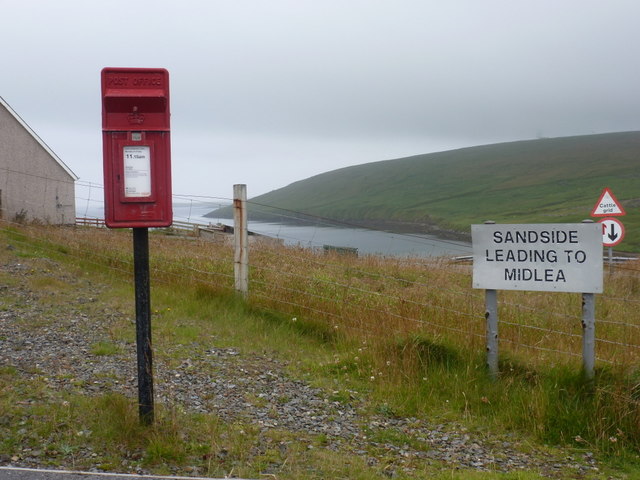
Toft, Shetland
Toft is a ferry port approximately one mile north of Mossbank on Mainland, Shetland, Scotland. From here, a car ferry service to Ulsta on the island of...

Lunna House
Lunna House is a 17th-century laird's house on Lunna Ness in the Shetland Islands. Lunna House is noted for having "the best historic designed landscape...
Nearby Amenities
Located within 500m of 60.43224,-1.1876782Have you been to The Houb?
Leave your review of The Houb below (or comments, questions and feedback).