Bagnall
Settlement in Staffordshire Staffordshire Moorlands
England
Bagnall
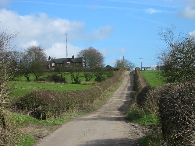
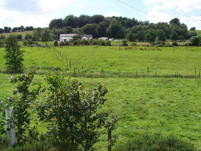
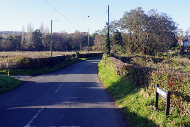
Bagnall is a small village located in the Staffordshire Moorlands district of Staffordshire, England. Situated approximately 5 miles east of the town of Stoke-on-Trent, Bagnall is nestled in the scenic Churnet Valley. The village is surrounded by picturesque countryside, offering stunning views and a tranquil atmosphere.
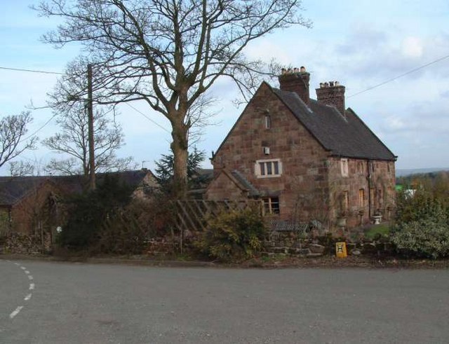
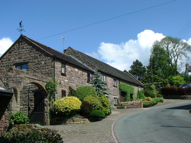
Bagnall is a historic village with a rich heritage. It is believed to have been settled during the Roman times, and evidence of its past can still be seen today. The village features a number of well-preserved historic buildings, including traditional stone cottages and a charming 12th-century church, St. Chad's.
Although Bagnall is a small village, it offers a range of amenities for its residents. These include a village hall, a primary school, and a local pub, providing a sense of community and meeting places for social gatherings. The village also benefits from being close to nearby towns and cities, offering easy access to additional services and amenities.
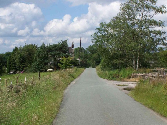
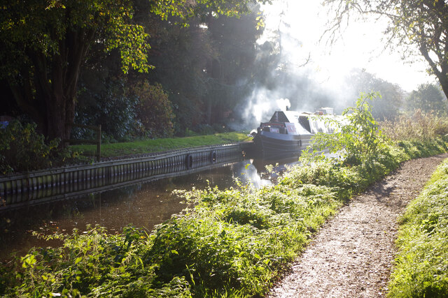
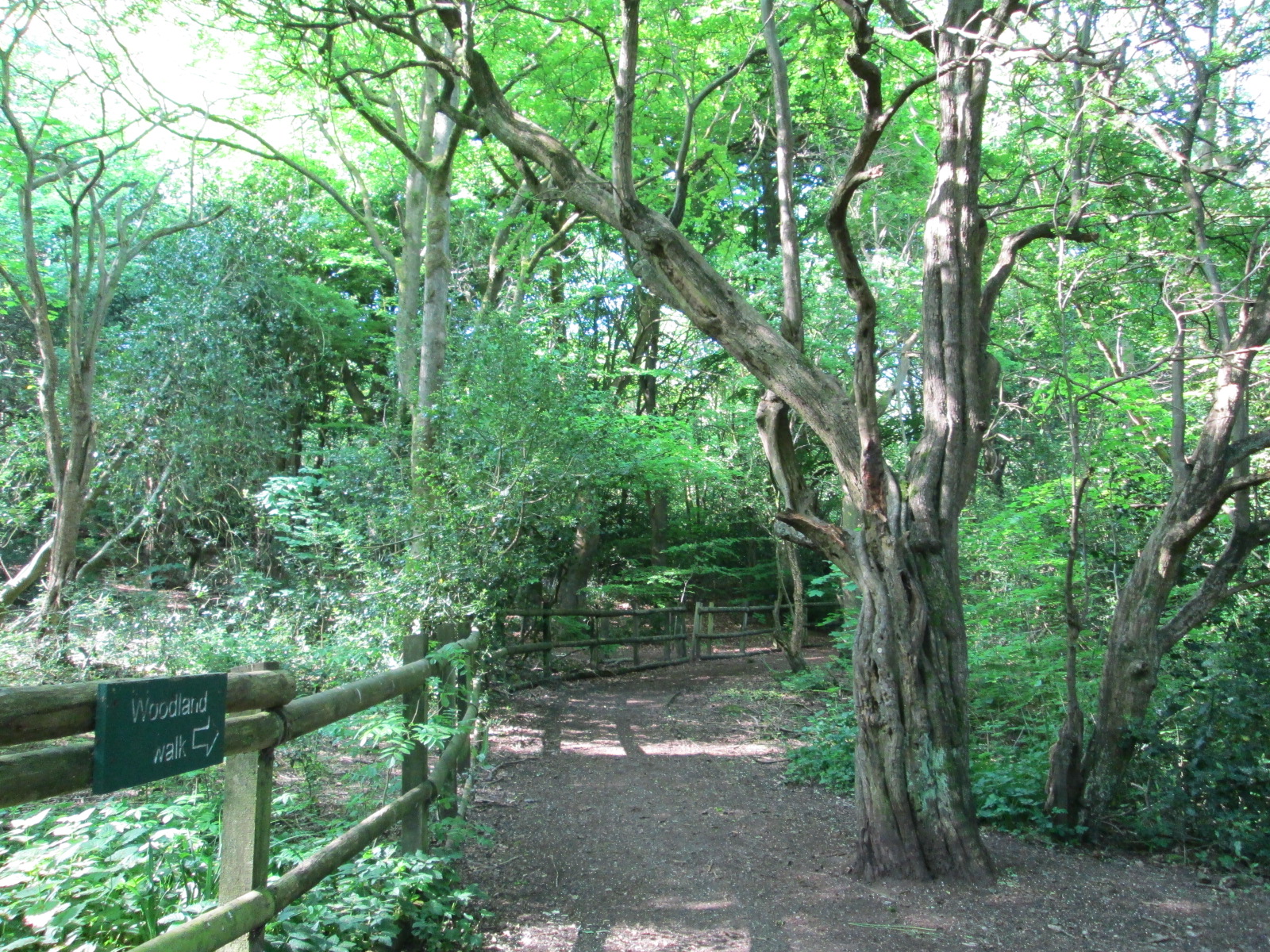
The surrounding area offers numerous opportunities for outdoor activities and exploration. The Churnet Valley Railway, a heritage steam railway, is a popular attraction for visitors and locals alike. The nearby Staffordshire Moorlands provide ample opportunities for hiking, cycling, and enjoying the natural beauty of the region.
Overall, Bagnall is a charming village that combines historical character with a peaceful rural setting. Its strong sense of community, stunning surroundings, and proximity to amenities make it an attractive place to live or visit for those seeking a quieter, countryside lifestyle.
If you have any feedback on the listing, please let us know in the comments section below.
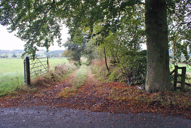
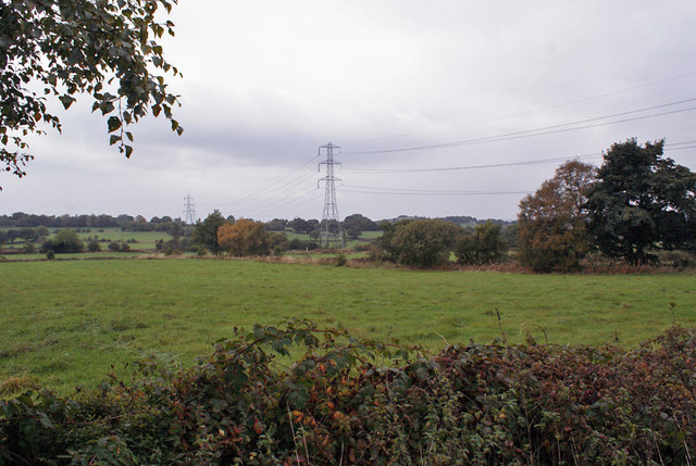
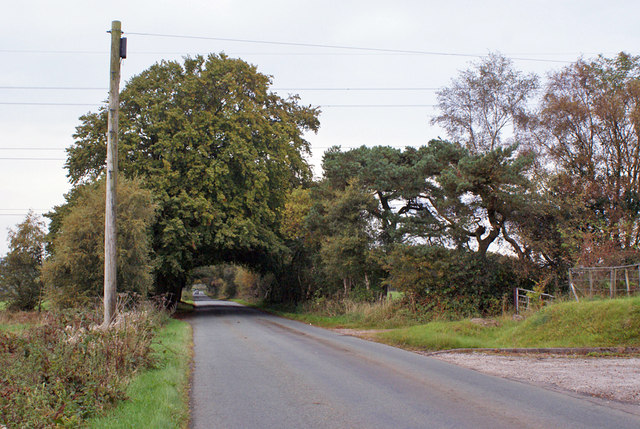
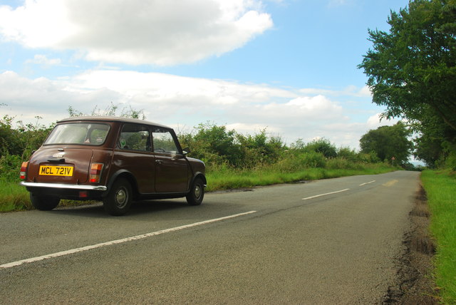
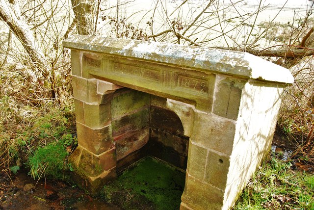
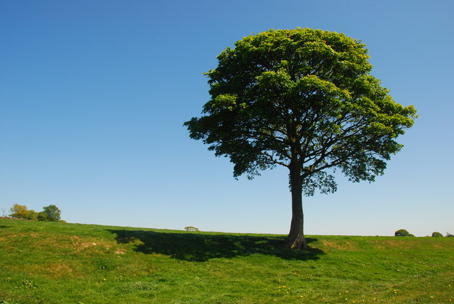
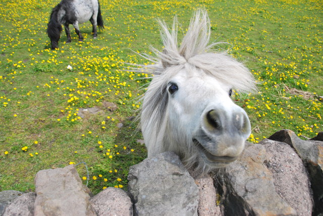
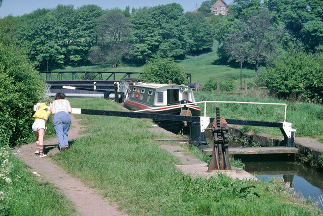
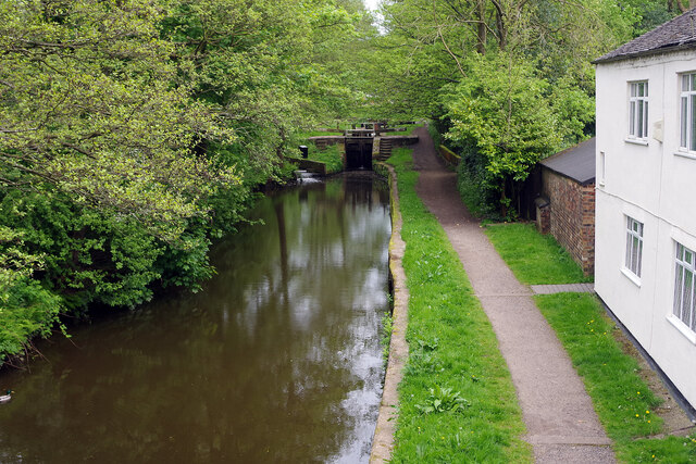
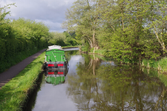
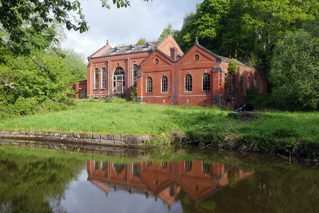
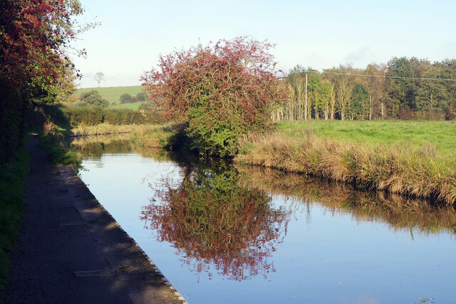
Bagnall Images
Images are sourced within 2km of 53.055646/-2.109673 or Grid Reference SJ9250. Thanks to Geograph Open Source API. All images are credited.
Bagnall is located at Grid Ref: SJ9250 (Lat: 53.055646, Lng: -2.109673)
Administrative County: Staffordshire
District: Staffordshire Moorlands
Police Authority: Staffordshire
What 3 Words
///styled.recoup.argue. Near Cheddleton, Staffordshire
Nearby Locations
Related Wikis

Bagnall, Staffordshire
Bagnall is a village and civil parish in Staffordshire, England, north-east of Stoke-on-Trent. Although Bagnall is located only a few short miles from...
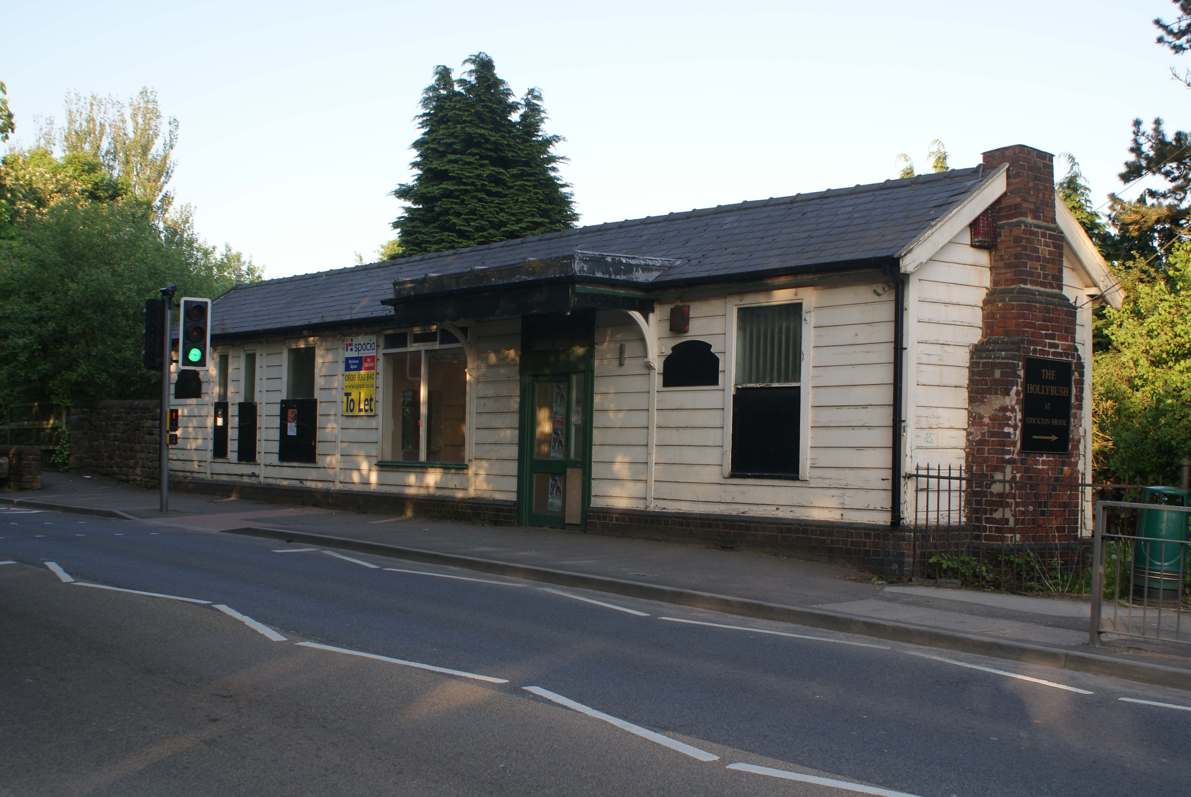
Stockton Brook railway station
Stockton Brook railway station is a disused railway station in Staffordshire. == History == The Stoke–Leek line was opened by the North Staffordshire Railway...
Stanley, Staffordshire
Stanley is a small village in the Staffordshire Moorlands district of Staffordshire, England, about 4 miles (6.4 km) southwest of Leek. The village of...
Bagnall Road Wood
Bagnall Road Wood is a local nature reserve near Milton, on the eastern fringe of Stoke-on-Trent, England. == History and description == The site was a...

Endon and Stanley
Endon and Stanley is a civil parish in Staffordshire, England, containing the villages Endon and Stanley. The civil parish (replacing a civil parish containing...

Endon High School
Endon High School is a coeducational secondary school located in Endon in the English county of Staffordshire.Endon Hall Primary School and St Lukes CE...

Endon railway station
Endon railway station is a disused railway station in Staffordshire. The Stoke–Leek line was opened by the North Staffordshire Railway (NSR) in 1867 and...
Baddeley Edge
Baddeley Edge is a hamlet in the north of the city of Stoke-on-Trent, in the north of the county of Staffordshire. == Electoral Boundaries == It was formerly...
Nearby Amenities
Located within 500m of 53.055646,-2.109673Have you been to Bagnall?
Leave your review of Bagnall below (or comments, questions and feedback).