Light Oaks
Settlement in Staffordshire
England
Light Oaks
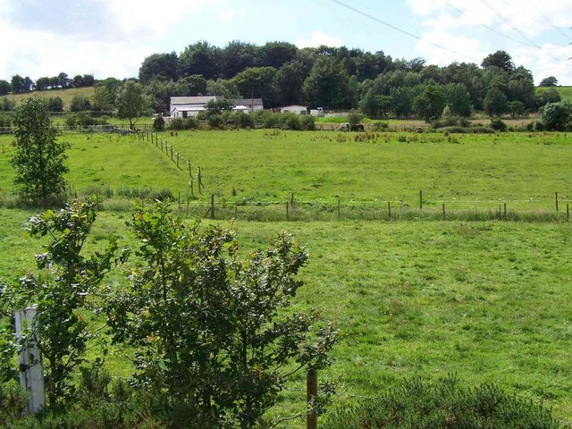
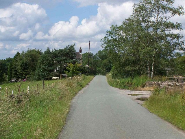
Light Oaks is a small village located in the county of Staffordshire, England. Situated approximately 3 miles south-east of Stoke-on-Trent, it falls within the Staffordshire Moorlands district. With a population of around 500 residents, Light Oaks is a peaceful and close-knit community.
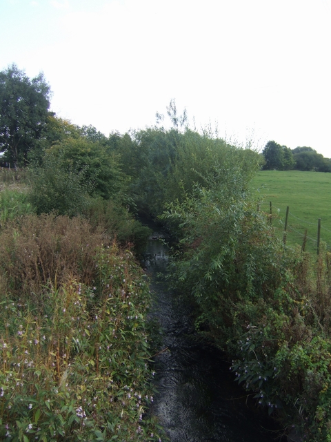
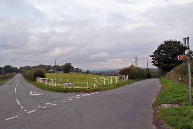
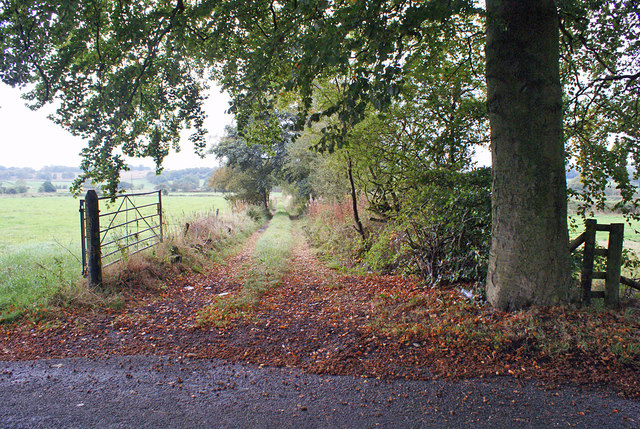
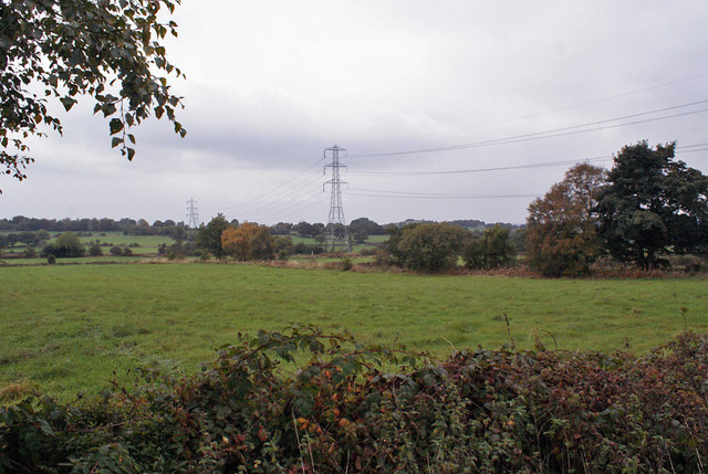
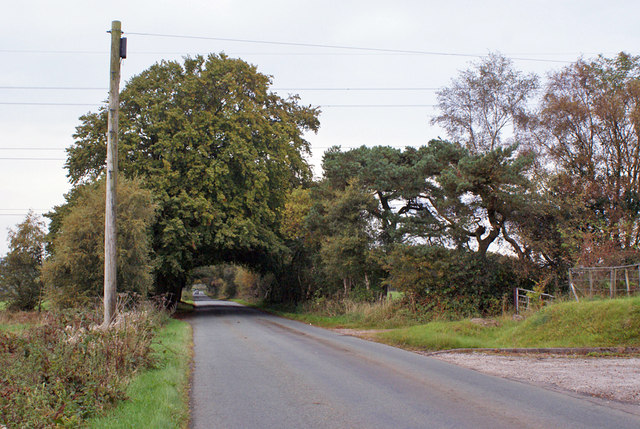
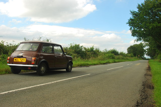
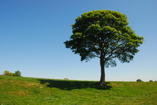
The village is set amidst the stunning countryside of Staffordshire, boasting picturesque views of rolling hills and lush green fields. Its rural location makes it an ideal destination for those seeking a tranquil and idyllic setting. Light Oaks benefits from its proximity to the Peak District National Park, offering residents and visitors easy access to a wealth of outdoor activities such as hiking, cycling, and camping.
Despite its small size, Light Oaks has a strong sense of community and offers a range of amenities to cater to its residents' needs. These include a local pub, a village hall, and a primary school, providing essential services and fostering a close community spirit.
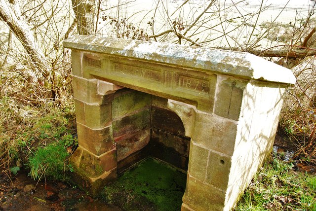
The village's history can be traced back to medieval times, and evidence of this can still be seen in the surrounding area, including the remnants of an ancient church and a few traditional cottages. Light Oaks retains its rural charm, with many of its buildings featuring traditional architecture and well-maintained gardens.
Overall, Light Oaks offers a peaceful and scenic retreat for those seeking a slower pace of life in the heart of Staffordshire's countryside, with easy access to both nature and the nearby amenities of Stoke-on-Trent.
If you have any feedback on the listing, please let us know in the comments section below.
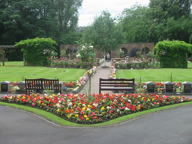
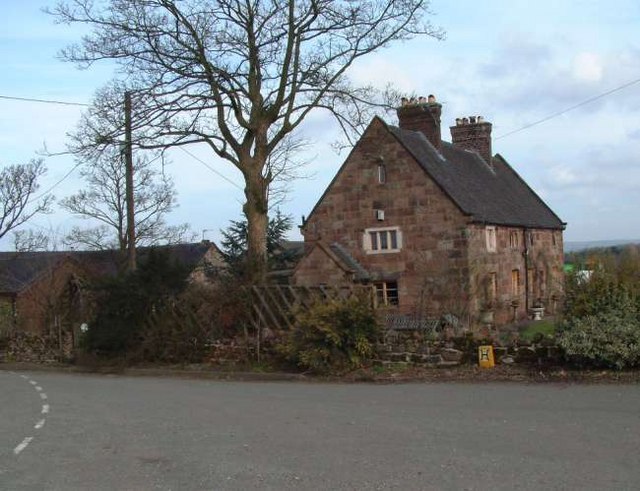
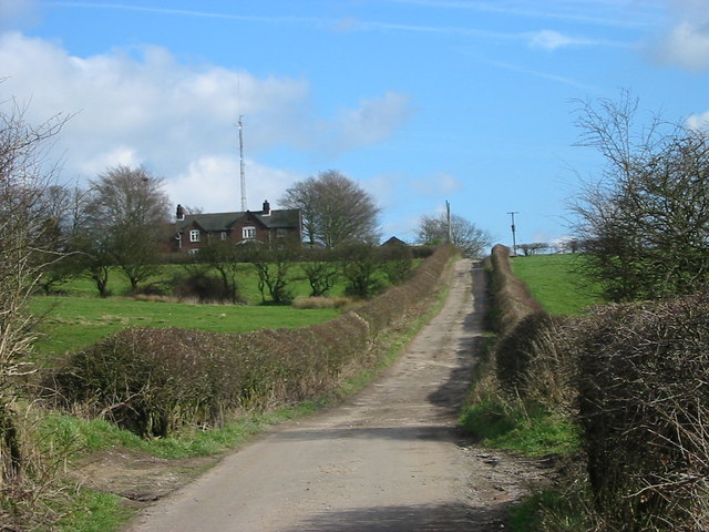
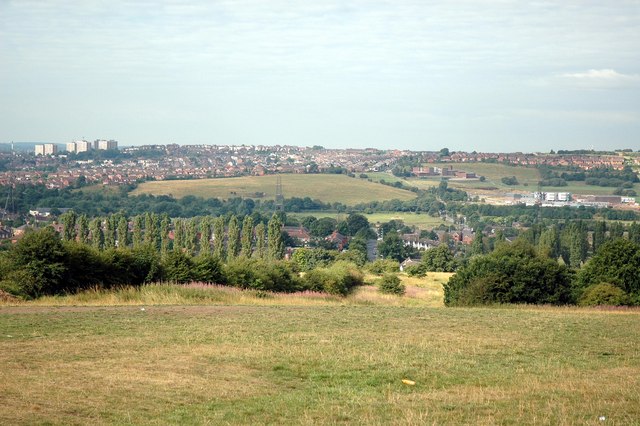
Light Oaks Images
Images are sourced within 2km of 53.048472/-2.119844 or Grid Reference SJ9250. Thanks to Geograph Open Source API. All images are credited.


Light Oaks is located at Grid Ref: SJ9250 (Lat: 53.048472, Lng: -2.119844)
Unitary Authority: Stoke-on-Trent
Police Authority: Staffordshire
What 3 Words
///slowness.pink.rattler. Near Cheddleton, Staffordshire
Nearby Locations
Related Wikis
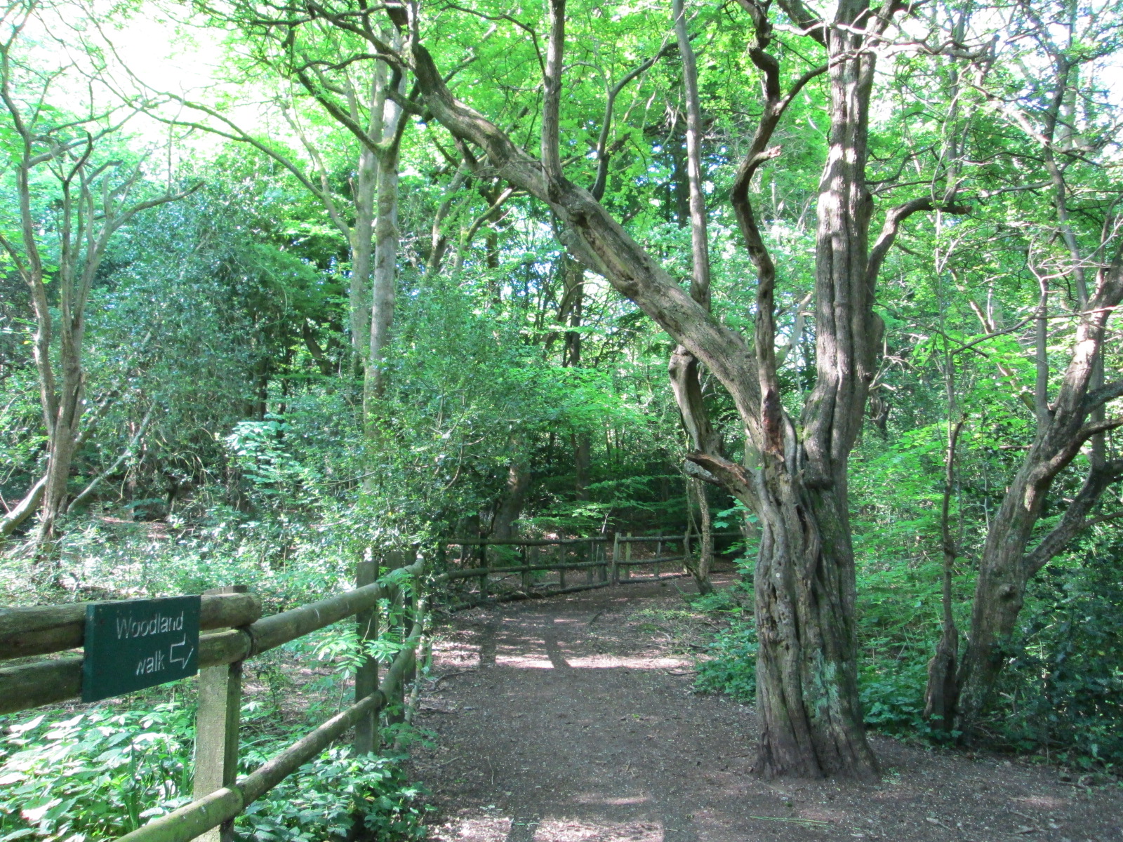
Bagnall Road Wood
Bagnall Road Wood is a local nature reserve near Milton, on the eastern fringe of Stoke-on-Trent, England. == History and description == The site was a...

Baddeley Edge
Baddeley Edge is a hamlet in the north of the city of Stoke-on-Trent, in the north of the county of Staffordshire. == Electoral Boundaries == It was formerly...

Bagnall, Staffordshire
Bagnall is a village and civil parish in Staffordshire, England, north-east of Stoke-on-Trent. Although Bagnall is located only a few short miles from...
Abbey Green ward
Abbey Green was an electoral ward of Stoke-on-Trent. The ward covered the areas of Baddeley Green, Milton and Abbey Hulton as well as Baddeley Edge and...

Milton, Staffordshire
Milton is an area of Stoke-on-Trent, in the county of Staffordshire, England. It is mainly situated between the A5009 and A53 roads. It shares its borders...
Baddeley Green
Baddeley Green is an area of Stoke-on-Trent, Staffordshire, England. Baddeley Green is part of the Abbey Green ward, which covers the areas of Baddeley...

Ford Green Brook
Ford Green Brook flows through Staffordshire and the outlying areas of Stoke-on-Trent, England. It is the first named tributary stream of the River Trent...
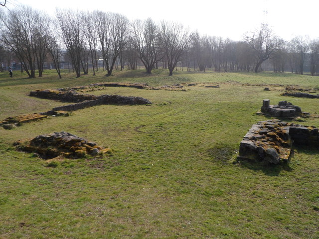
Hulton Abbey
Hulton Abbey is a scheduled monument in the United Kingdom, a former monastery located in what is now Abbey Hulton, a suburb of Stoke-on-Trent. A daughter...
Nearby Amenities
Located within 500m of 53.048472,-2.119844Have you been to Light Oaks?
Leave your review of Light Oaks below (or comments, questions and feedback).