Bagnall
Civil Parish in Staffordshire Staffordshire Moorlands
England
Bagnall
Bagnall is a civil parish located in the county of Staffordshire, England. Situated in the Staffordshire Moorlands district, it is nestled within the scenic countryside of the West Midlands. The village of Bagnall is small and picturesque, with a population of around 300 people.
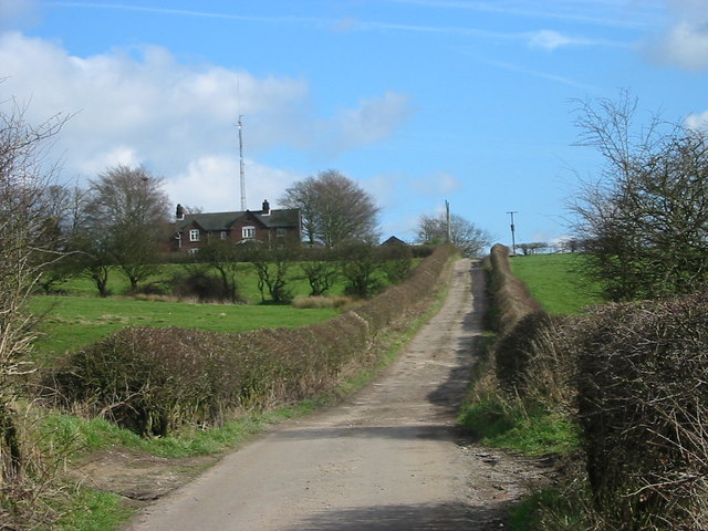
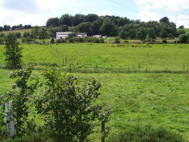
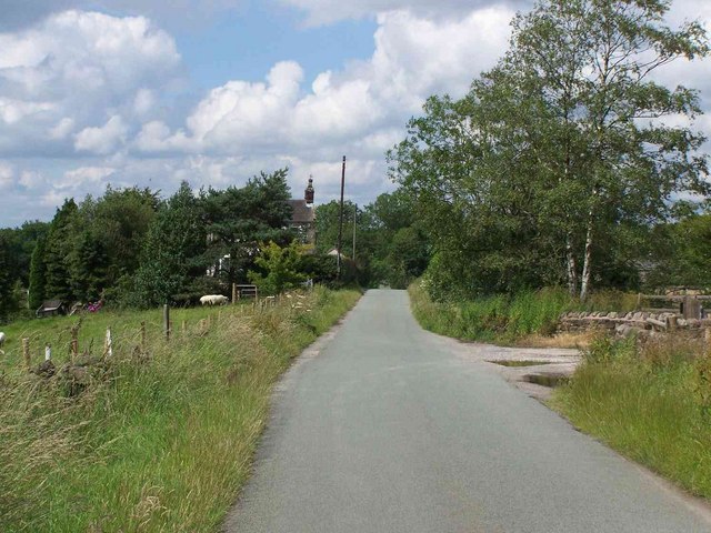
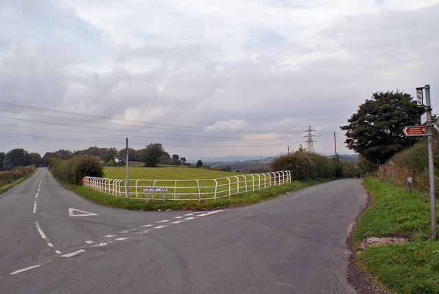
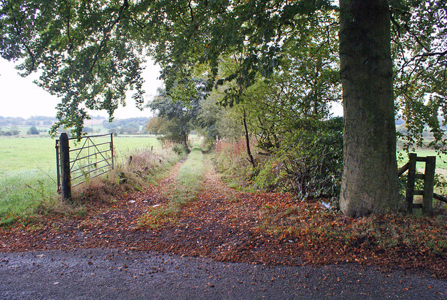
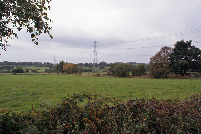
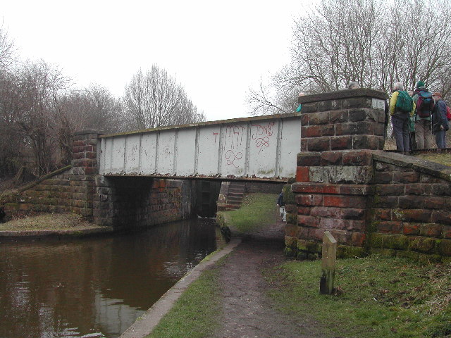
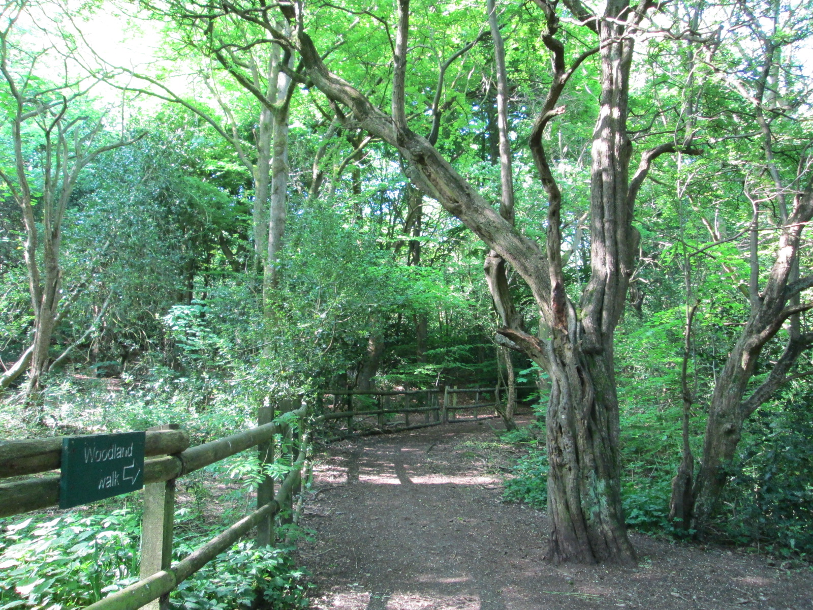
The parish is known for its idyllic rural setting, surrounded by rolling hills and lush green fields. It is a haven for nature lovers and outdoor enthusiasts, offering ample opportunities for walking, hiking, and exploring the countryside. The nearby Bagnall Meadows nature reserve is a popular spot for birdwatching and enjoying the local flora and fauna.
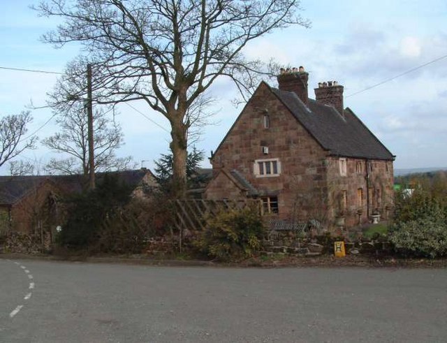
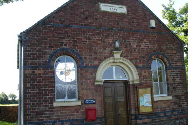
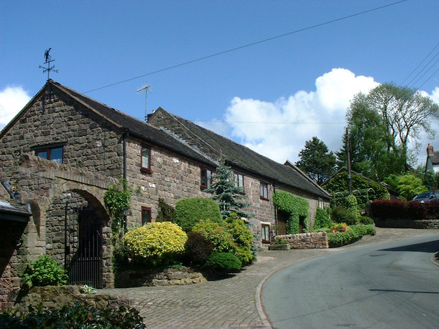
The village itself boasts a rich history, with some of its buildings dating back to the 17th century. The local St. Chad's Church, constructed in the 18th century, is a prominent landmark in the area. Bagnall also has a strong sense of community, with various social and recreational activities organized by local groups.
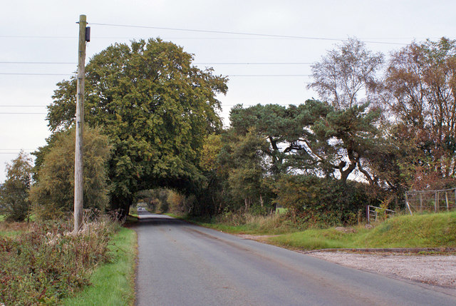
Despite its small size, Bagnall is well-connected to nearby towns and cities. The market town of Leek is just a short drive away, offering a range of amenities including shops, restaurants, and leisure facilities. The city of Stoke-on-Trent is also within easy reach, providing further options for shopping, entertainment, and cultural events.
In conclusion, Bagnall is a charming civil parish in Staffordshire, offering a peaceful and picturesque setting for residents and visitors alike. Its natural beauty, rich history, and close proximity to larger towns make it an appealing destination for those seeking a countryside retreat.
If you have any feedback on the listing, please let us know in the comments section below.
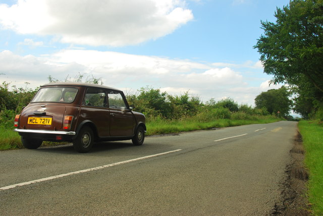
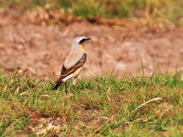
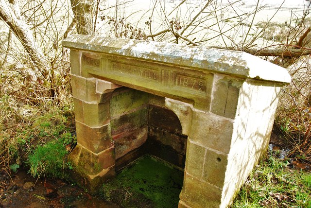
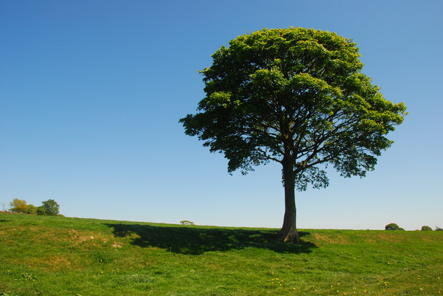
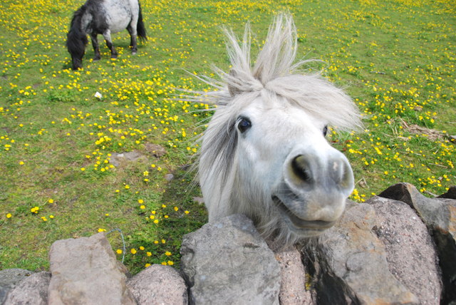
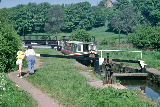
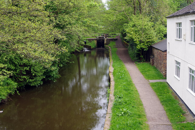
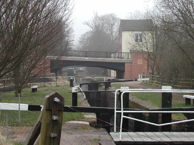
Bagnall Images
Images are sourced within 2km of 53.052008/-2.10671 or Grid Reference SJ9250. Thanks to Geograph Open Source API. All images are credited.
Bagnall is located at Grid Ref: SJ9250 (Lat: 53.052008, Lng: -2.10671)
Administrative County: Staffordshire
District: Staffordshire Moorlands
Police Authority: Staffordshire
What 3 Words
///custodial.files.muddy. Near Cheddleton, Staffordshire
Nearby Locations
Related Wikis

Bagnall, Staffordshire
Bagnall is a village and civil parish in Staffordshire, England, north-east of Stoke-on-Trent. Although Bagnall is located only a few short miles from...
Bagnall Road Wood
Bagnall Road Wood is a local nature reserve near Milton, on the eastern fringe of Stoke-on-Trent, England. == History and description == The site was a...
Stanley, Staffordshire
Stanley is a small village in the Staffordshire Moorlands district of Staffordshire, England, about 4 miles (6.4 km) southwest of Leek. The village of...
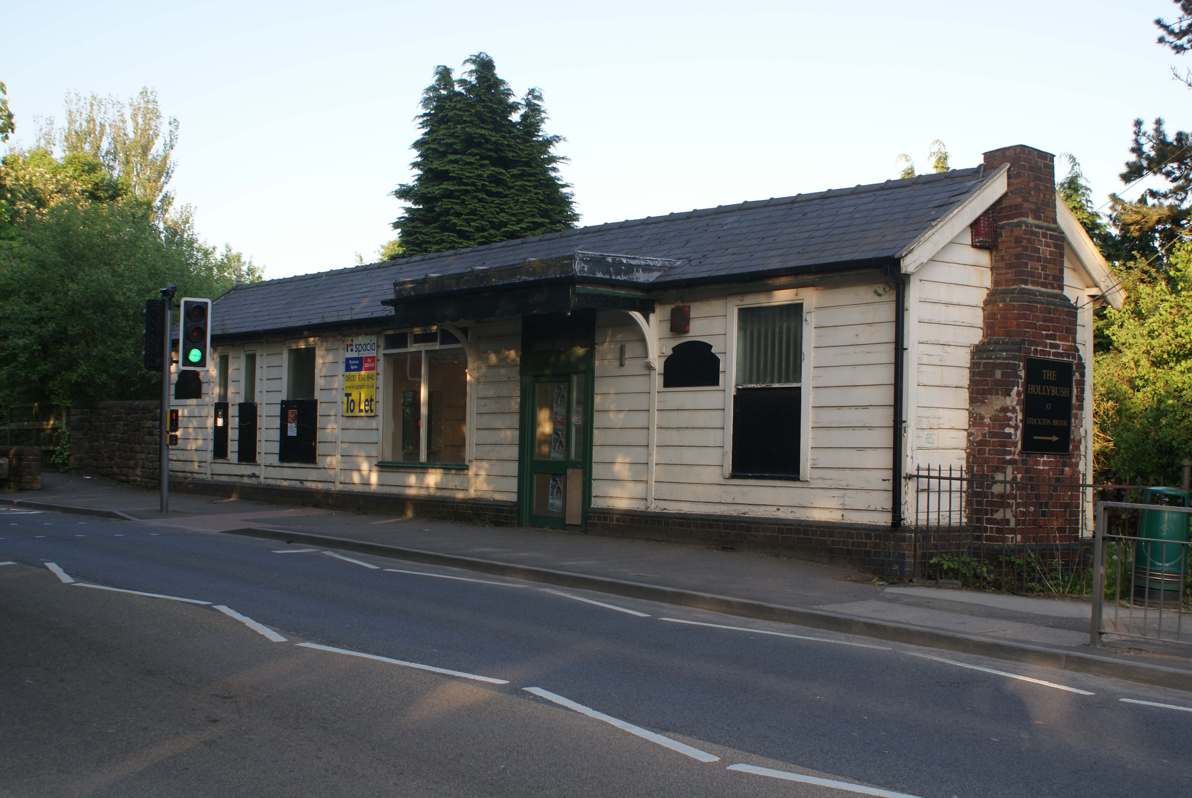
Stockton Brook railway station
Stockton Brook railway station is a disused railway station in Staffordshire. == History == The Stoke–Leek line was opened by the North Staffordshire Railway...

Baddeley Edge
Baddeley Edge is a hamlet in the north of the city of Stoke-on-Trent, in the north of the county of Staffordshire. == Electoral Boundaries == It was formerly...
Abbey Green ward
Abbey Green was an electoral ward of Stoke-on-Trent. The ward covered the areas of Baddeley Green, Milton and Abbey Hulton as well as Baddeley Edge and...

Milton, Staffordshire
Milton is an area of Stoke-on-Trent, in the county of Staffordshire, England. It is mainly situated between the A5009 and A53 roads. It shares its borders...

Endon and Stanley
Endon and Stanley is a civil parish in Staffordshire, England, containing the villages Endon and Stanley. The civil parish (replacing a civil parish containing...
Nearby Amenities
Located within 500m of 53.052008,-2.10671Have you been to Bagnall?
Leave your review of Bagnall below (or comments, questions and feedback).