Bownham

Settlement in Gloucestershire Stroud

England

Bownham

Minchinhampton Common
Minchinhampton Common Credit: Helena Downton

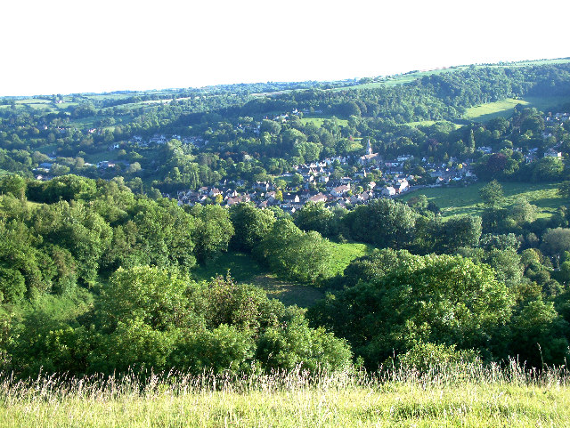
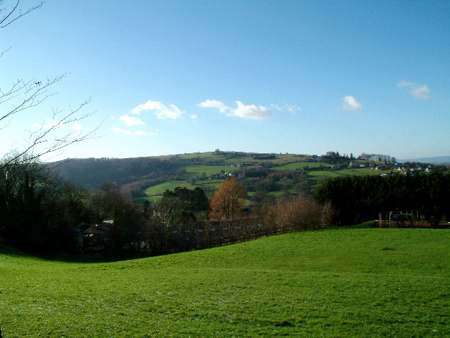
Bownham is a small village located in the county of Gloucestershire, England. Situated in the Stroud district, it lies approximately 2 miles south of the town of Stroud and is nestled within the picturesque Cotswold Hills.

With a population of around 500 residents, Bownham exudes a quaint and tranquil ambiance, offering a peaceful retreat from the hustle and bustle of city life. The village is characterized by its charming stone-built cottages, traditional architecture, and scenic countryside views.

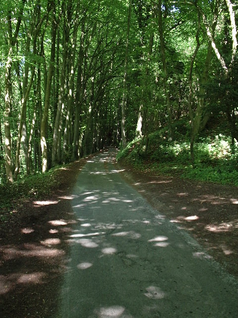
Bownham benefits from its proximity to the Cotswold Area of Outstanding Natural Beauty, attracting tourists and nature enthusiasts alike. The surrounding landscape is dotted with rolling hills, verdant fields, and ancient woodlands, providing ample opportunities for outdoor activities such as hiking, cycling, and picnicking.

Despite its small size, Bownham boasts a close-knit community and a strong sense of community spirit. The village has a primary school, a village hall, and a local pub, which serves as a hub for social gatherings and events. Residents also have access to essential amenities, including shops and services, in nearby Stroud.

Overall, Bownham offers a picturesque rural lifestyle, blending natural beauty with a warm and welcoming community. Its idyllic setting and proximity to the Cotswolds make it an attractive destination for those seeking a peaceful retreat and a taste of traditional English village life.

If you have any feedback on the listing, please let us know in the comments section below.
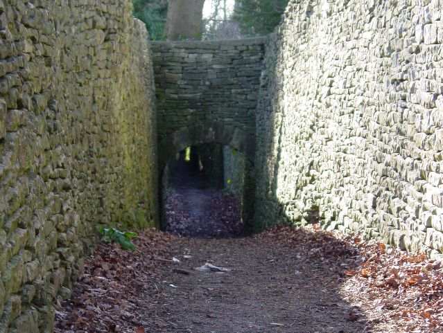
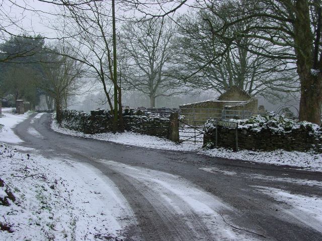
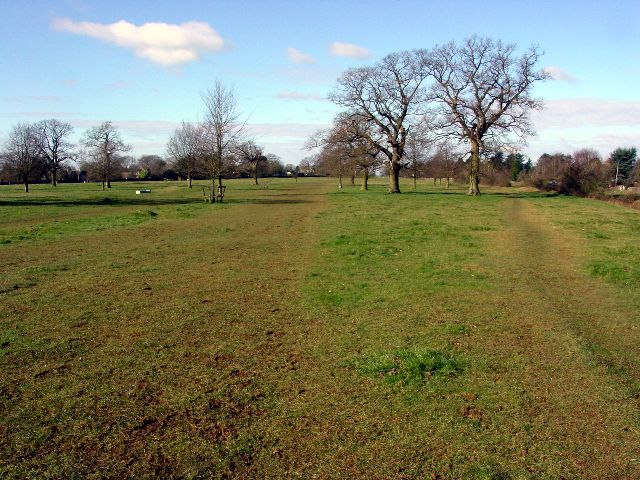
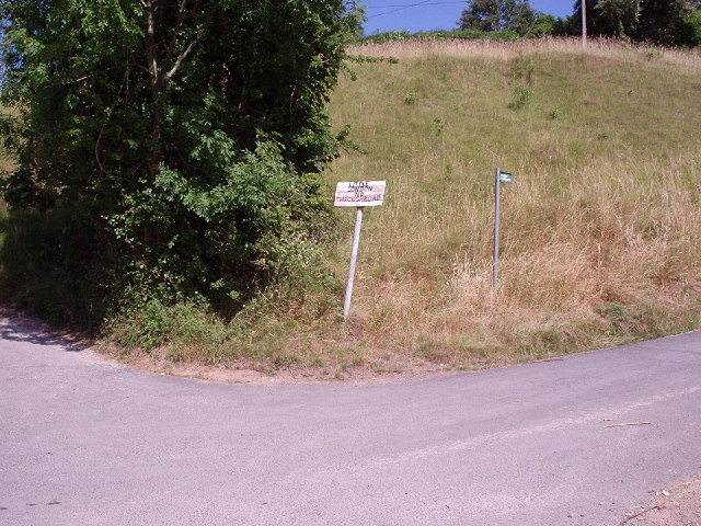
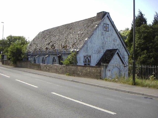
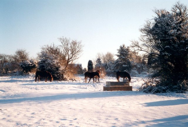
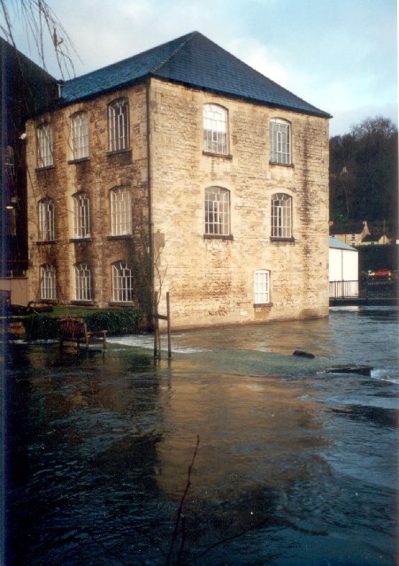
Bownham Images

Images are sourced within 2km of 51.719804/-2.2050471 or Grid Reference SO8502. Thanks to Geograph Open Source API. All images are credited.

Minchinhampton Common
The Footpath near Cuckoo Row
Burleigh Lane
Burleigh Lane
The Park, Minchinhampton
Woodchester village Looking directly west from the edge of Minchinhampton Common. The lower large field to the right is adjacent to the famous Woodchester Orpheus mosaic, part of possibly the biggest and most opulent Roman Villa in the UK. A replica of the mosaic is on display nearby at Prinknash Abbey. Villa May have been home to the governing family of this important area, with Cirencester only 14 miles away and Bath 27 miles.
Woodchester village
Looking directly west from the edge of Minchinhampton Common. The lower large field to the right is adjacent to the famous Woodchester Orpheus mosaic, part of possibly the biggest and most opulent Roman Villa in the UK. A replica of the mosaic is on display nearby at Prinknash Abbey. Villa May have been home to the governing family of this important area, with Cirencester only 14 miles away and Bath 27 miles.
Selsley Common from Rodborough Taken from somewhat undulating Gastrells School playing fields looking due west. This ridge is very popular with paragliders, hang-gliders, gliders and model gliders, can get a bit busy up there!
Selsley Common from Rodborough
Taken from somewhat undulating Gastrells School playing fields looking due west. This ridge is very popular with paragliders, hang-gliders, gliders and model gliders, can get a bit busy up there!
Winstones Ice Cream Factory, Rodborough Common Purveyors of fine Cotswold Ice Cream
Winstones Ice Cream Factory, Rodborough Common
Purveyors of fine Cotswold Ice Cream
Milepost on Rodborough Common Milepost on Rodborough Common adjacent to Over Butterrow
Milepost on Rodborough Common
Milepost on Rodborough Common adjacent to Over Butterrow
The road from Bear Hill towards Little London Road on very steep slope at the bottom of Rodborough Common
The road from Bear Hill towards Little London
Road on very steep slope at the bottom of Rodborough Common
Little London Small hamlet just outside Kingscourt at the foot of Rodborough Common.
Little London
Small hamlet just outside Kingscourt at the foot of Rodborough Common.
Amberley (Glos) Holy Trinity Church
Thrupp (Glos) Tin Church The grid reference is a bit of a guess as the modern map shows no church and the Geograph 1940s map is unclear but this spot appears to have a church symbol! Not long for this world it seems.
Thrupp (Glos) Tin Church
The grid reference is a bit of a guess as the modern map shows no church and the Geograph 1940s map is unclear but this spot appears to have a church symbol! Not long for this world it seems.
Rodborough Common, near Stroud Looking south, towards the enclosed housing estate at the top of the Common.
Rodborough Common, near Stroud
Looking south, towards the enclosed housing estate at the top of the Common.
Brimscombe Mill This is the highest I have ever seen the Frome. The bench on the left should be on an island between the millrace and the weir, but is now in the middle of the river! The ground floor of the mill was flooded.
Brimscombe Mill
This is the highest I have ever seen the Frome. The bench on the left should be on an island between the millrace and the weir, but is now in the middle of the river! The ground floor of the mill was flooded.
Cattle Grid near Burleigh Lane This is the top of the lane that passes the Burleigh Hotel. The distant hill is Thrupp.
Cattle Grid near Burleigh Lane
This is the top of the lane that passes the Burleigh Hotel. The distant hill is Thrupp.
Thames and Severn Canal at Brimscombe This is a very short watered section of the canal, which is either filled in or drained on either side. The building on the right is a former mill which I think is being converted into housing.
Thames and Severn Canal at Brimscombe
This is a very short watered section of the canal, which is either filled in or drained on either side. The building on the right is a former mill which I think is being converted into housing.
Frogmarsh Mill The mill was already in use by 1658 and continued producing cloth until mid 1800s.  The buildings date from the 19th Century. The Woodchester area  was ideal for cloth manufacture because of deep valleys and rapid streams in this part of the Cotswolds.
Frogmarsh Mill
The mill was already in use by 1658 and continued producing cloth until mid 1800s. The buildings date from the 19th Century. The Woodchester area was ideal for cloth manufacture because of deep valleys and rapid streams in this part of the Cotswolds.
Nether Lypiatt Manor The former country seat of Prince and Princess Michael of Kent.
Nether Lypiatt Manor
The former country seat of Prince and Princess Michael of Kent.
Show me another place!

Bownham is located at Grid Ref: SO8502 (Lat: 51.719804, Lng: -2.2050471)

Administrative County: Gloucestershire

District: Stroud

Police Authority: Gloucestershire

What 3 Words

///goodnight.supple.perusing. Near Brimscombe, Gloucestershire

Related Wikis

Brimscombe & Thrupp F.C.

Brimscombe and Thrupp Football Club is a football club based in Brimscombe, Gloucestershire, England. Affiliated to the Gloucestershire County FA, they...

Brimscombe and Thrupp

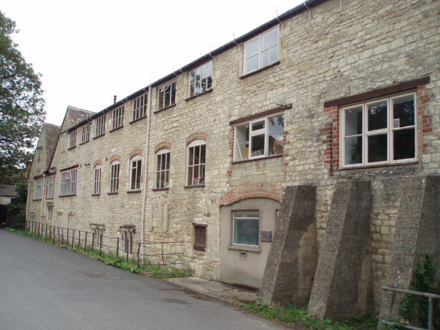
Brimscombe and Thrupp (grid reference SO862032) is a civil parish made up of the villages of Thrupp and Brimscombe, in the narrow Frome Valley slightly...

Ham Mill Halt railway station

Ham Mill Halt was opened on 12 October 1903 on what is now the Golden Valley Line between Kemble and Stroud. This line was opened in 1845 as the Cheltenham...

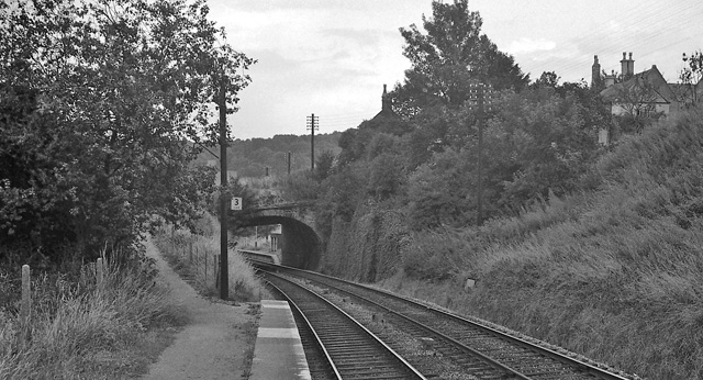
Brimscombe Bridge Halt railway station

Brimscombe Bridge Halt was opened on 1 February 1904 on what is now the Golden Valley Line between Kemble and Stroud. This line was opened in 1845 as the...
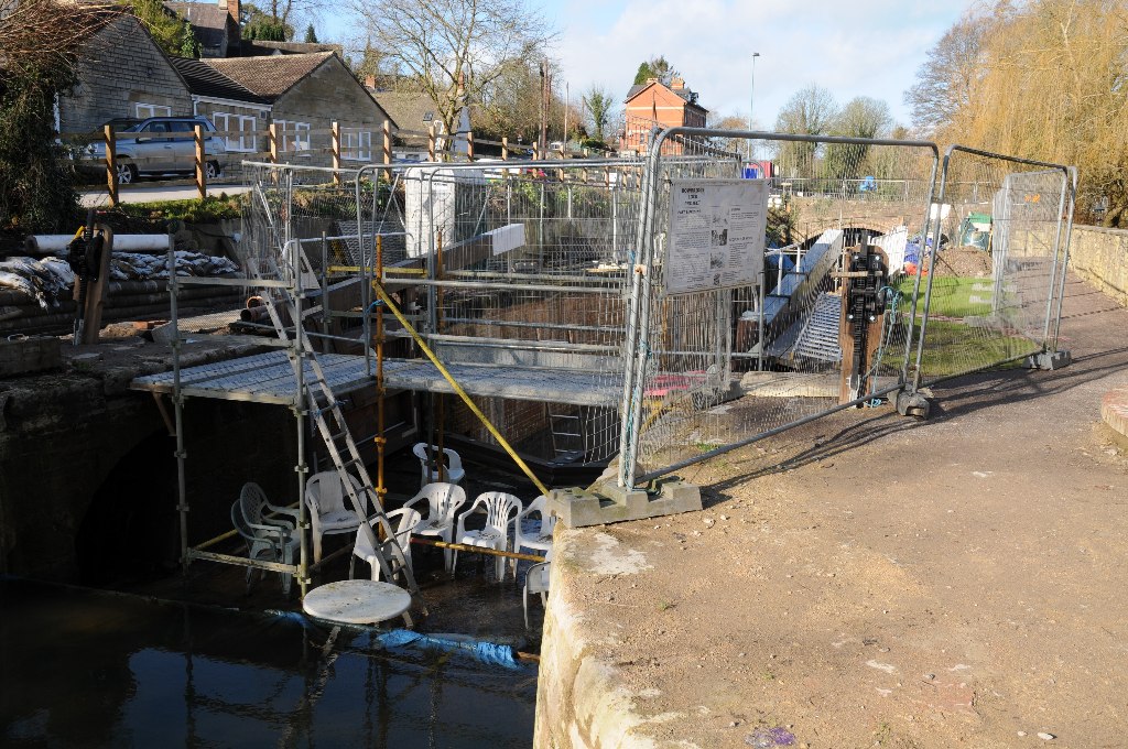
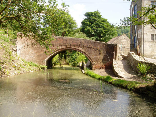
Bowbridge

Bowbridge is a village in Gloucestershire, England, on the outskirts of Stroud. Bowbridge Lock on the Thames and Severn Canal is in the process of restoration...

Minchinhampton Common

Minchinhampton Common (grid reference SO855010) is a 182.7-hectare (451-acre) biological and geological Site of Special Scientific Interest in Gloucestershire...

Amberley, Gloucestershire

Amberley, Gloucestershire is a small village about two miles south of Stroud in Gloucestershire, England. It is situated on the edge of Minchinhampton...

Rodborough Common, Gloucestershire

Rodborough Common is a 116.0-hectare (287-acre) biological and geological Site of Special Scientific Interest in Gloucestershire, notified in 1954. The...

Nearby Amenities

Located within 500m of 51.719804,-2.2050471
Barrier: cattle_grid
Lat/Long: 51.7188396/-2.2020406
Post Box
Collection Times: Mo-Fr 15:45; Sa 09:00; Su off
Drive Through: no
Operator: Royal Mail
Post Box Type: wall
Postal Code: GL5
Ref: GL5 84
Royal Cypher: EVIIR
Royal Cypher Wikidata: Q33102324
Source: survey
Lat/Long: 51.7181184/-2.19947
Bus Stop
Amberley Ridge School
Bus: yes
Naptan AtcoCode: 1600GL589
Naptan Bearing: S
Naptan CommonName: Amberley Ridge School
Naptan Indicator: Opp
Naptan NaptanCode: glodgmpd
Naptan PlusbusZoneRef: STRUD
Naptan Street: Cirencester Rd
Naptan Verified: no
Public Transport: platform
Source: naptan_import
Lat/Long: 51.7188923/-2.2111038
Bus Stop
Bownham Park
Bus: yes
Naptan AtcoCode: 1600GL590
Naptan Bearing: NW
Naptan CommonName: Bownham Park
Naptan Indicator: Opp
Naptan NaptanCode: glodgmdw
Naptan PlusbusZoneRef: STRUD
Naptan Street: Cirencester Rd
Naptan Verified: no
Public Transport: platform
Source: naptan_import
Lat/Long: 51.7208061/-2.211822
Power: pole
Lat/Long: 51.7185075/-2.1995805
Power: pole
Lat/Long: 51.7182765/-2.1982193
Power: pole
Lat/Long: 51.7182101/-2.1990843
Historic: boundary_stone
Lat/Long: 51.7203663/-2.2114603
Telephone
Booth: K6
Covered: booth
Operator: BT
Phone: +44 1453 731591
Lat/Long: 51.7172048/-2.2000355
The data included in this document is from www.openstreetmap.org. The data is made available under ODbL.

Have you been to Bownham?

Leave your review of Bownham below (or comments, questions and feedback).