Garden Down

Downs, Moorland in Devon Teignbridge

England

Garden Down

On the B3212 at the brow of the hill after Longdown, heading west
On the B3212 at the brow of the hill after Longdown, heading west Credit: Rob Purvis

Garden Down, located in Devon, England, is a picturesque area that encompasses both downs and moorland landscapes. Stretching over a vast expanse, Garden Down is known for its captivating natural beauty and diverse flora and fauna.

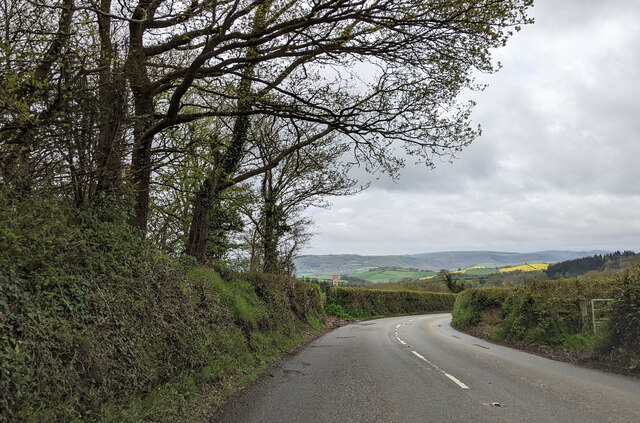
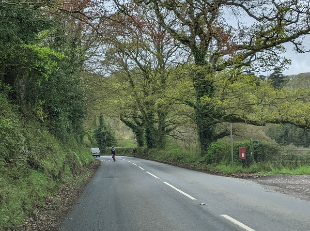
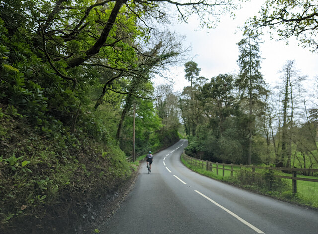
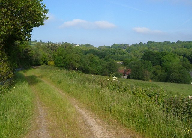
The downs of Garden Down feature rolling hills covered in lush green grass, interspersed with patches of vibrant wildflowers. These hills provide breathtaking panoramic views of the surrounding countryside and are a popular spot for nature lovers and hikers. The gentle slopes make it an ideal location for leisurely walks and picnics.

The moorland area of Garden Down offers a unique contrast to the downs. Characterized by open expanses of heather, bracken, and gorse, the moorland is home to a variety of wildlife, including birds, insects, and small mammals. The moorland attracts birdwatchers and nature enthusiasts who come to observe species such as the red grouse and the elusive golden plover.

Garden Down also boasts several walking trails and paths that meander through its diverse landscapes, allowing visitors to explore the area at their leisure. These trails range in difficulty, catering to both experienced hikers and those seeking a more relaxed stroll.

The tranquil and serene atmosphere of Garden Down, combined with its stunning natural scenery, makes it a popular destination for outdoor activities and an ideal place to escape the hustle and bustle of everyday life. Whether it's exploring the downs, admiring the colorful wildflowers, or immersing oneself in the tranquility of the moorland, Garden Down offers a truly captivating experience for nature enthusiasts and adventurers alike.

If you have any feedback on the listing, please let us know in the comments section below.
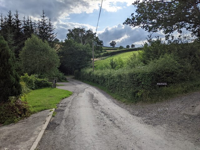
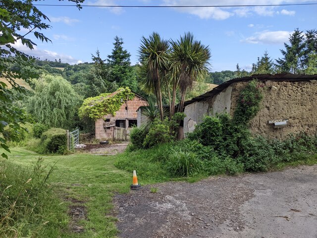
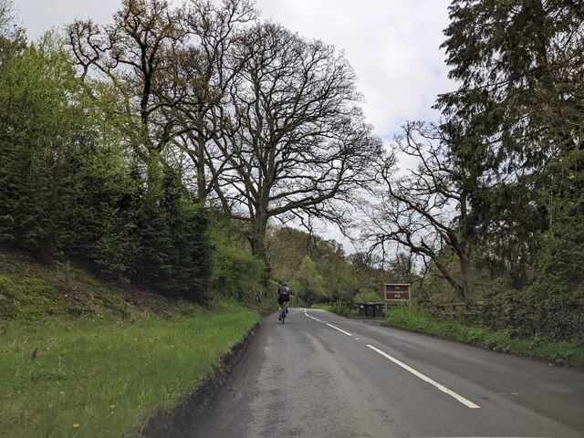
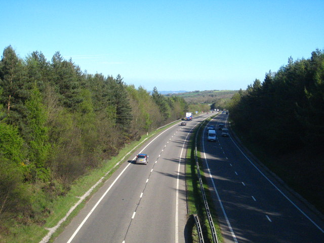
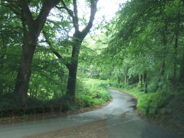
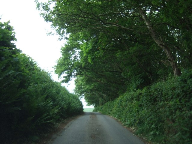
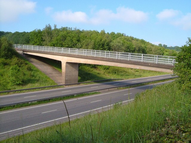
Garden Down Images

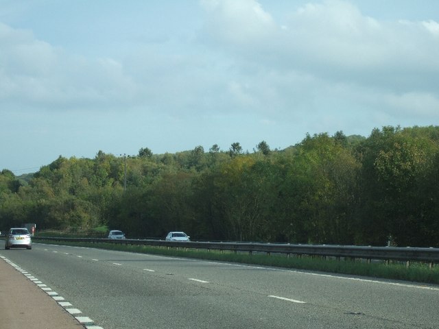
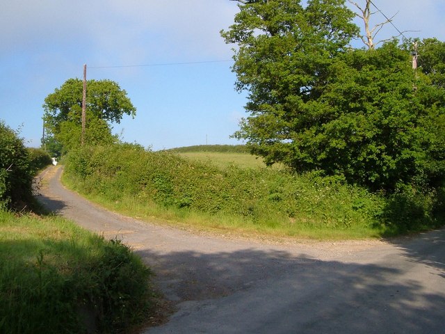
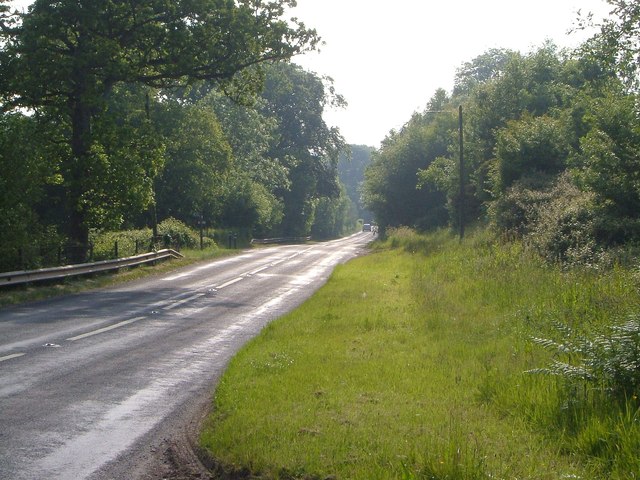
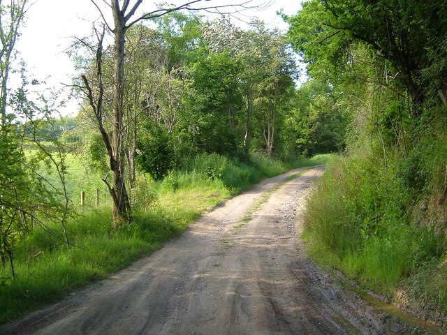
Images are sourced within 2km of 50.70949/-3.6264847 or Grid Reference SX8591. Thanks to Geograph Open Source API. All images are credited.

On the B3212 at the brow of the hill after Longdown, heading west
On the B3212, a postbox, public footpath and cyclists
Cyclist on the B3212 heading south-west
Entrance to Woodhayes Farm
Lane passing Kingsford Farm and the lane to Pitt Farm
Buildings at Rughouse Farm
Following a cyclist on the B3212, heading west
Looking east along the A30 Seen from the overbridge near Pathfinder Village.
Looking east along the A30
Seen from the overbridge near Pathfinder Village.
Road junction south of Longdown
Road passing Cotley Wood Cotley Wood is almost exactly 1km from east to west, and its boundaries are very close to north-south grid lines.
Road passing Cotley Wood
Cotley Wood is almost exactly 1km from east to west, and its boundaries are very close to north-south grid lines.
Teignbridge : A30 Dual Carriageway The dual carriageway passes through the northern part of the Teignbridge District and out towards West Devon.
Teignbridge : A30 Dual Carriageway
The dual carriageway passes through the northern part of the Teignbridge District and out towards West Devon.
Teignbridge : A30 Layby A shack on a layby beside the A30 known as The Owl.
Teignbridge : A30 Layby
A shack on a layby beside the A30 known as The Owl.
View across the A30 near Five Mile Farm The woodland close to this lay-by stretches on both sides of the dual carriageway
View across the A30 near Five Mile Farm
The woodland close to this lay-by stretches on both sides of the dual carriageway
Lane to Downhouse Farm A farm lane leading off from the ridge-top lane between Barton Head and Halstow.
Lane to Downhouse Farm
A farm lane leading off from the ridge-top lane between Barton Head and Halstow.
Old A30 at Hare Lane The former A30 passes Hare Lane on the left, used as a farm lane for West Town Farm, and carrying Whitestone Bridleway 14. Seen from the junction with another farm track on the other side of the road, unnamed, but meriting a bridge across the dual carriageway.
Old A30 at Hare Lane
The former A30 passes Hare Lane on the left, used as a farm lane for West Town Farm, and carrying Whitestone Bridleway 14. Seen from the junction with another farm track on the other side of the road, unnamed, but meriting a bridge across the dual carriageway.
Track from the old A30 The farm track mentioned at <a href="https://www.geograph.org.uk/photo/2643966">SX8592 : Old A30 at Hare Lane</a>, which curves up to cross the A30 dual carriageway on its own bridge to gain access to fields around Higher Winter Cleave.
Track from the old A30
The farm track mentioned at SX8592 : Old A30 at Hare Lane, which curves up to cross the A30 dual carriageway on its own bridge to gain access to fields around Higher Winter Cleave.
Bridge over A30 The bridge is shown from the dual carriageway in <a href="https://www.geograph.org.uk/photo/2490766">SX8592 : Teignbridge : A30 Dual Carriageway</a>; seen here from the track shown in <a href="https://www.geograph.org.uk/photo/2643983">SX8592 : Track from the old A30</a>. The wood beyond is Higher Winter Cleave.
Bridge over A30
The bridge is shown from the dual carriageway in SX8592 : Teignbridge : A30 Dual Carriageway; seen here from the track shown in SX8592 : Track from the old A30. The wood beyond is Higher Winter Cleave.
Track to Five Mile Hill One of two tracks leading away on the north side of <a href="https://www.geograph.org.uk/photo/2643994">SX8592 : Bridge over A30</a>. The house is close to <a href="https://www.geograph.org.uk/photo/1433577">SX8592 : Exeter Van Centre</a>. Sheep are grazing in the field on the right.
Track to Five Mile Hill
One of two tracks leading away on the north side of SX8592 : Bridge over A30. The house is close to SX8592 : Exeter Van Centre. Sheep are grazing in the field on the right.
Show me another place!

Garden Down is located at Grid Ref: SX8591 (Lat: 50.70949, Lng: -3.6264847)

Administrative County: Devon

District: Teignbridge

Police Authority: Devon and Cornwall

What 3 Words

///vent.mothering.sprain. Near Exeter, Devon

Related Wikis

Holcombe Burnell

Holcombe Burnell is a civil parish in the Teignbridge district, in Devon, England, the church of which is about 4 miles west of Exeter City centre. There...

Longdown railway station

Longdown was a railway station serving Longdown, a small village in Devon, England located on the Teign Valley Line between the towns of Newton Abbot and...

Longdown

Longdown is a small village in the parish of Holcombe Burnell, south of the A30 road, about four miles west of Exeter in Devon, England. It has a public...

Cotley Castle

Cotley Castle is a large Iron Age Hill fort near Dunchideock in Devon and close to Exeter in England. It occupies a significant hilltop at 220 metres...

Nearby Amenities

Located within 500m of 50.70949,-3.6264847
Barrier: stile
Lat/Long: 50.7121206/-3.6222813
The data included in this document is from www.openstreetmap.org. The data is made available under ODbL.

Have you been to Garden Down?

Leave your review of Garden Down below (or comments, questions and feedback).