Holcombe Wood

Wood, Forest in Devon Teignbridge

England

Holcombe Wood

On the B3212 at the brow of the hill after Longdown, heading west
On the B3212 at the brow of the hill after Longdown, heading west Credit: Rob Purvis

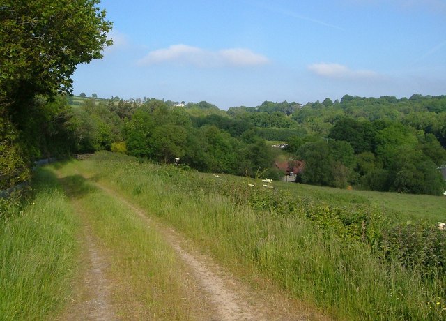
Holcombe Wood is a picturesque woodland located in the county of Devon, England. Spanning over an area of approximately 200 acres, this enchanting forest offers a tranquil escape for nature enthusiasts and hikers alike.

Situated in the heart of the Teign Valley, Holcombe Wood is known for its diverse range of flora and fauna. The woodland is predominantly composed of broadleaf trees, including oak, beech, and ash, which create a dense and lush canopy overhead. This vibrant ecosystem provides a habitat for various wildlife species, such as deer, badgers, and a wide array of bird species, making it a paradise for wildlife enthusiasts and birdwatchers.

The woodland is crisscrossed with several well-maintained footpaths and trails, enabling visitors to explore its natural beauty at their own pace. One of the most popular routes is the Holcombe Wood Circular Walk, which takes approximately two hours to complete and offers breathtaking views of the surrounding countryside.

Aside from its natural beauty, Holcombe Wood also has historical significance. The woodland was once part of the ancient Haldon Forest, which was extensively used for timber production during the medieval period. Today, remnants of the old sawmill and charcoal burners can still be found within the woodland, serving as a reminder of its rich history.

Whether you are seeking a peaceful retreat or an outdoor adventure, Holcombe Wood in Devon is a must-visit destination. Its stunning landscapes, abundant wildlife, and historical charm make it a truly magical place to explore and connect with nature.

If you have any feedback on the listing, please let us know in the comments section below.

Holcombe Wood Images

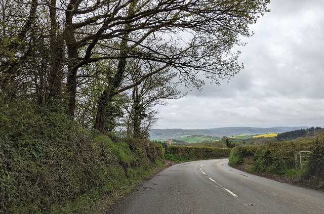
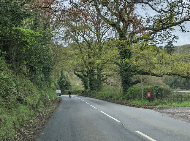
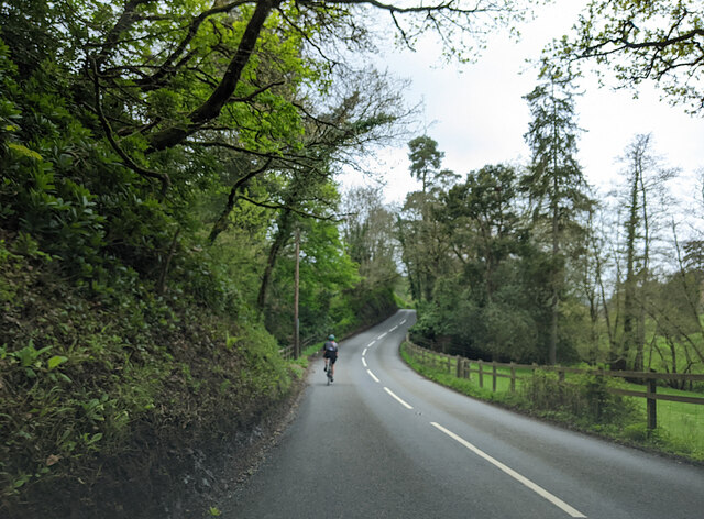
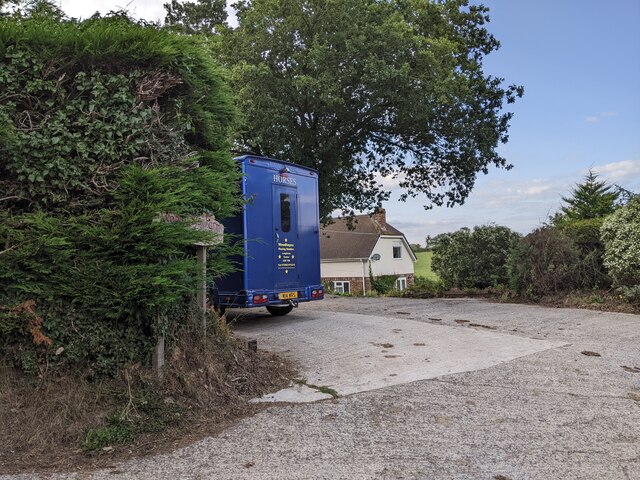
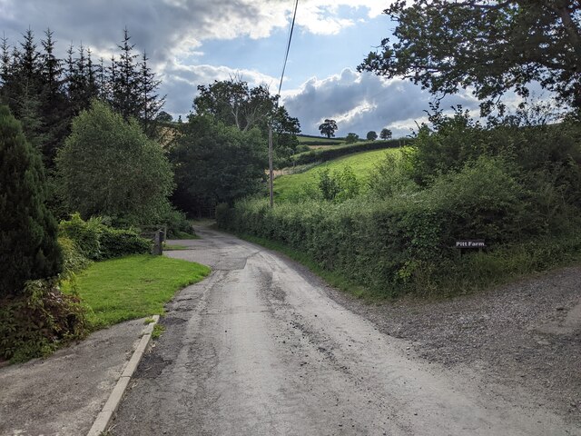
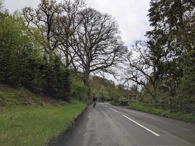
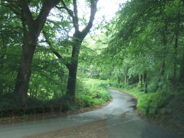
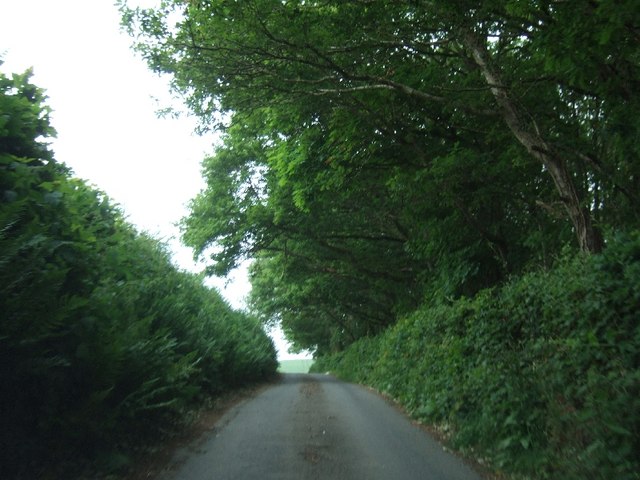
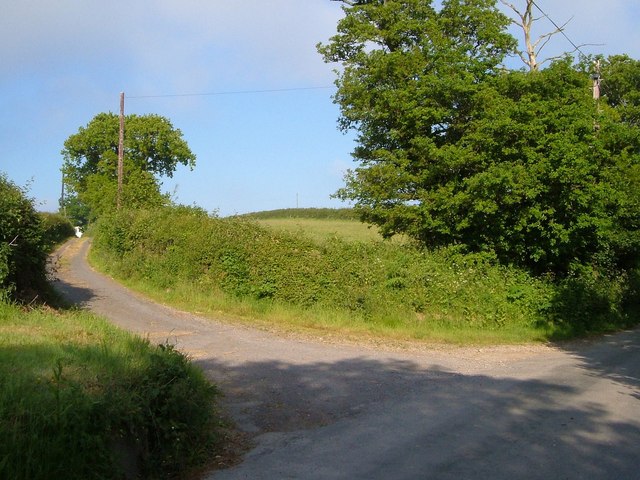
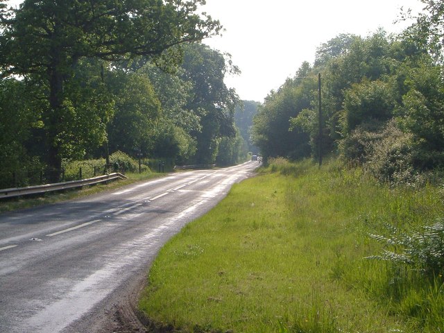
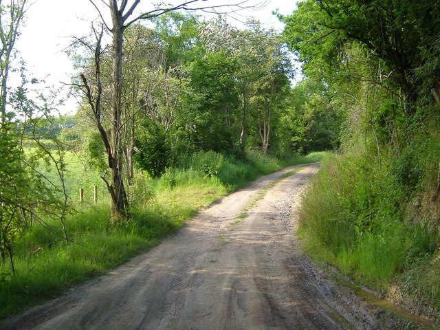
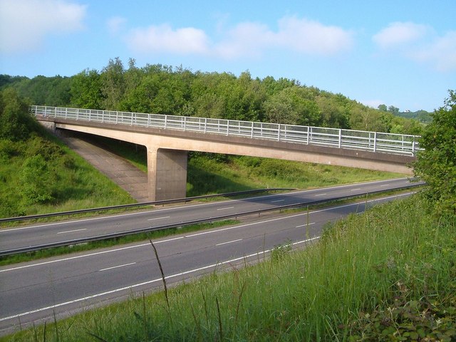
Images are sourced within 2km of 50.709867/-3.6187502 or Grid Reference SX8591. Thanks to Geograph Open Source API. All images are credited.

On the B3212 at the brow of the hill after Longdown, heading west
On the B3212, a postbox, public footpath and cyclists
Cyclist on the B3212 heading south-west
Entrance to Woodhayes Farm
Lane passing Kingsford Farm and the lane to Pitt Farm
Following a cyclist on the B3212, heading west
Road junction south of Longdown
Road passing Cotley Wood Cotley Wood is almost exactly 1km from east to west, and its boundaries are very close to north-south grid lines.
Road passing Cotley Wood
Cotley Wood is almost exactly 1km from east to west, and its boundaries are very close to north-south grid lines.
Teignbridge : A30 Dual Carriageway The dual carriageway passes through the northern part of the Teignbridge District and out towards West Devon.
Teignbridge : A30 Dual Carriageway
The dual carriageway passes through the northern part of the Teignbridge District and out towards West Devon.
Teignbridge : A30 Layby A shack on a layby beside the A30 known as The Owl.
Teignbridge : A30 Layby
A shack on a layby beside the A30 known as The Owl.
The Travellers Rest inn on the old A30
View across the A30 near Five Mile Farm The woodland close to this lay-by stretches on both sides of the dual carriageway
View across the A30 near Five Mile Farm
The woodland close to this lay-by stretches on both sides of the dual carriageway
Lay-by on A30 near Cutteridge Farm The A30 passes through a shallow cutting here
Lay-by on A30 near Cutteridge Farm
The A30 passes through a shallow cutting here
Lane to Downhouse Farm A farm lane leading off from the ridge-top lane between Barton Head and Halstow.
Lane to Downhouse Farm
A farm lane leading off from the ridge-top lane between Barton Head and Halstow.
Old A30 at Hare Lane The former A30 passes Hare Lane on the left, used as a farm lane for West Town Farm, and carrying Whitestone Bridleway 14. Seen from the junction with another farm track on the other side of the road, unnamed, but meriting a bridge across the dual carriageway.
Old A30 at Hare Lane
The former A30 passes Hare Lane on the left, used as a farm lane for West Town Farm, and carrying Whitestone Bridleway 14. Seen from the junction with another farm track on the other side of the road, unnamed, but meriting a bridge across the dual carriageway.
Track from the old A30 The farm track mentioned at <a href="https://www.geograph.org.uk/photo/2643966">SX8592 : Old A30 at Hare Lane</a>, which curves up to cross the A30 dual carriageway on its own bridge to gain access to fields around Higher Winter Cleave.
Track from the old A30
The farm track mentioned at SX8592 : Old A30 at Hare Lane, which curves up to cross the A30 dual carriageway on its own bridge to gain access to fields around Higher Winter Cleave.
Bridge over A30 The bridge is shown from the dual carriageway in <a href="https://www.geograph.org.uk/photo/2490766">SX8592 : Teignbridge : A30 Dual Carriageway</a>; seen here from the track shown in <a href="https://www.geograph.org.uk/photo/2643983">SX8592 : Track from the old A30</a>. The wood beyond is Higher Winter Cleave.
Bridge over A30
The bridge is shown from the dual carriageway in SX8592 : Teignbridge : A30 Dual Carriageway; seen here from the track shown in SX8592 : Track from the old A30. The wood beyond is Higher Winter Cleave.
Track to Five Mile Hill One of two tracks leading away on the north side of <a href="https://www.geograph.org.uk/photo/2643994">SX8592 : Bridge over A30</a>. The house is close to <a href="https://www.geograph.org.uk/photo/1433577">SX8592 : Exeter Van Centre</a>. Sheep are grazing in the field on the right.
Track to Five Mile Hill
One of two tracks leading away on the north side of SX8592 : Bridge over A30. The house is close to SX8592 : Exeter Van Centre. Sheep are grazing in the field on the right.
Show me another place!

Holcombe Wood is located at Grid Ref: SX8591 (Lat: 50.709867, Lng: -3.6187502)

Administrative County: Devon

District: Teignbridge

Police Authority: Devon and Cornwall

What 3 Words

///passenger.predict.geese. Near Exeter, Devon

Related Wikis

Longdown railway station

Longdown was a railway station serving Longdown, a small village in Devon, England located on the Teign Valley Line between the towns of Newton Abbot and...

Longdown

Longdown is a small village in the parish of Holcombe Burnell, south of the A30 road, about four miles west of Exeter in Devon, England. It has a public...

Holcombe Burnell

Holcombe Burnell is a civil parish in the Teignbridge district, in Devon, England, the church of which is about 4 miles west of Exeter City centre. There...

Cotley Castle

Cotley Castle is a large Iron Age Hill fort near Dunchideock in Devon and close to Exeter in England. It occupies a significant hilltop at 220 metres...

Nearby Amenities

Located within 500m of 50.709867,-3.6187502
Barrier: stile
Lat/Long: 50.7121206/-3.6222813
Holcombe Burnell
Place: hamlet
Lat/Long: 50.712287/-3.6172746
Generator Method: photovoltaic
Generator Output Electricity: yes
Generator Source: solar
Generator Type: solar_photovoltaic_panel
Location: roof
Power: generator
Lat/Long: 50.7103575/-3.6138864
Generator Method: photovoltaic
Generator Output Electricity: yes
Generator Source: solar
Generator Type: solar_photovoltaic_panel
Location: roof
Power: generator
Lat/Long: 50.709775/-3.6127384
Generator Method: photovoltaic
Generator Output Electricity: yes
Generator Source: solar
Generator Type: solar_photovoltaic_panel
Location: roof
Power: generator
Lat/Long: 50.7094234/-3.6126606
Generator Method: photovoltaic
Generator Output Electricity: yes
Generator Source: solar
Generator Type: solar_photovoltaic_panel
Location: roof
Power: generator
Lat/Long: 50.712625/-3.616578
Power: pole
Source: bing
Transformer: distribution
Lat/Long: 50.7129859/-3.6186621
Power: pole
Source: bing
Lat/Long: 50.7131608/-3.6179835
Power: pole
Source: bing
Lat/Long: 50.7141136/-3.6169615
The data included in this document is from www.openstreetmap.org. The data is made available under ODbL.

Have you been to Holcombe Wood?

Leave your review of Holcombe Wood below (or comments, questions and feedback).