Aucheninnes Moss

Downs, Moorland in Kirkcudbrightshire

Scotland

Aucheninnes Moss

McFadyen House, Alpine Street Dalbeattie abounds, quite rightly, in the finest granite vernacular buildings, and this one excels. Now housing the Alma McFayen Care Centre for older people.
McFadyen House, Alpine Street Credit: Jonathan Wilkins

Aucheninnes Moss is a vast expanse of downs and moorland located in Kirkcudbrightshire, Scotland. Covering an area of approximately 500 acres, this natural habitat is nestled amidst the picturesque countryside, offering visitors a serene and untouched landscape to explore.

The moss is characterized by its rolling hills and wide-open spaces, making it a haven for outdoor enthusiasts and nature lovers. Its diverse vegetation includes heather, grasses, and wildflowers, creating a vibrant and colorful tapestry that changes with the seasons. This rich array of plant life supports a variety of wildlife, including birds, small mammals, and insects.

The moss is home to several walking trails that wind through the undulating terrain, allowing visitors to immerse themselves in the peaceful surroundings. The paths offer breathtaking views of the surrounding countryside, with panoramic vistas stretching as far as the eye can see. It is a popular spot for hiking, horse riding, and birdwatching, attracting nature enthusiasts from far and wide.

Aucheninnes Moss is also of historical significance, as it is believed to have been used as a meeting place for local communities in ancient times. The moss has retained its natural beauty and remains largely untouched by development, offering visitors a glimpse into the unspoiled landscapes of the past.

Overall, Aucheninnes Moss is a captivating destination for those seeking tranquility and a connection with nature. With its stunning vistas, diverse flora and fauna, and rich history, it is a place that leaves a lasting impression on all who visit.

If you have any feedback on the listing, please let us know in the comments section below.

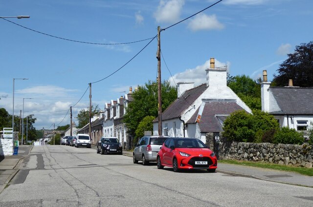
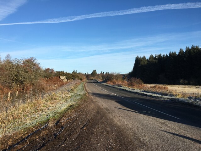
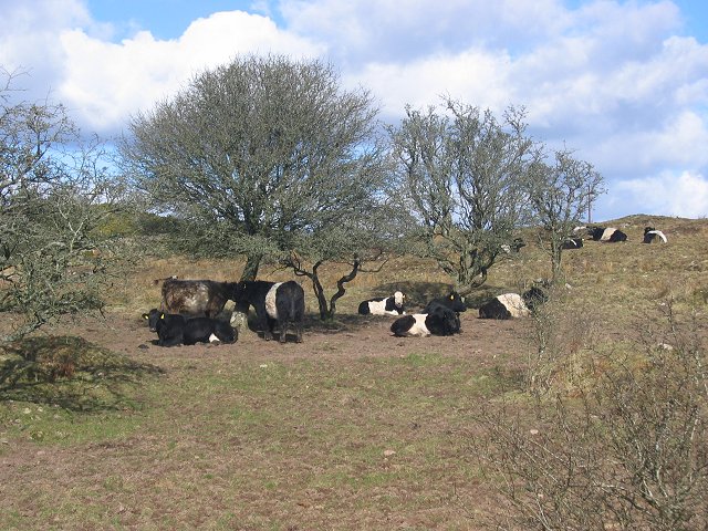
Aucheninnes Moss Images

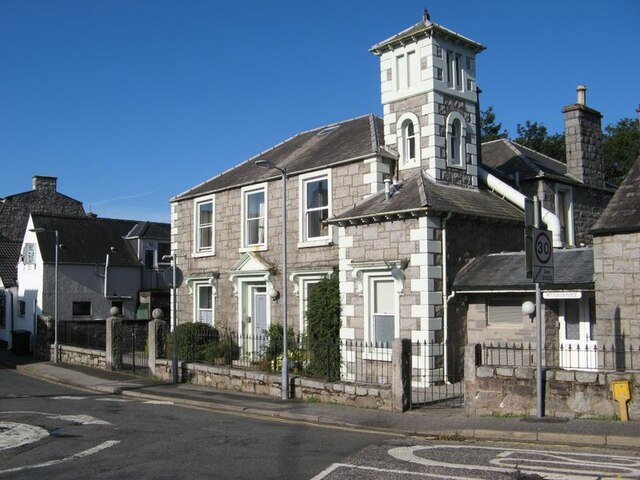
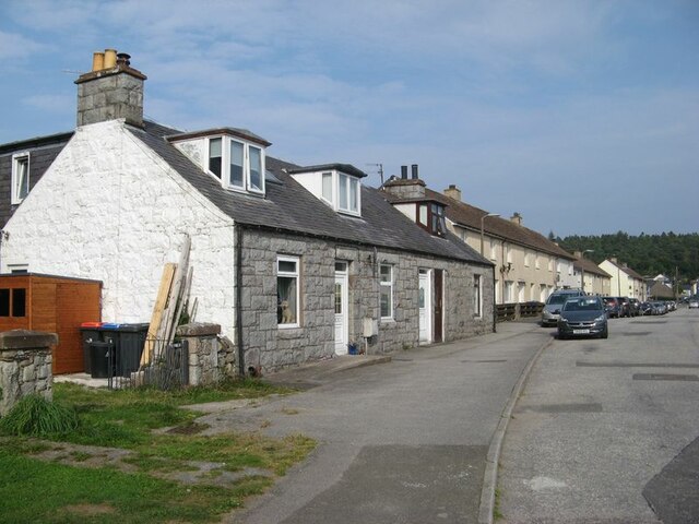
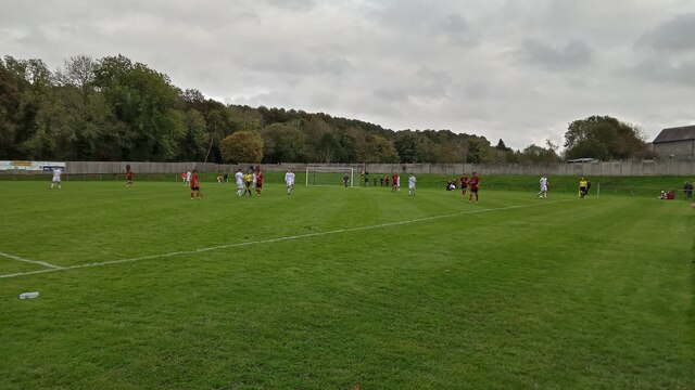
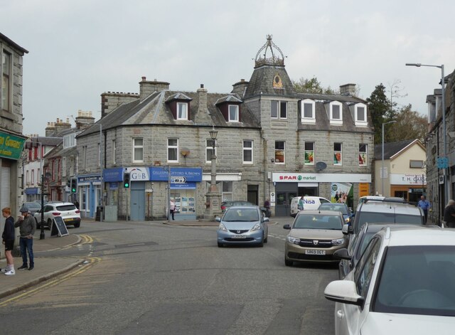
Images are sourced within 2km of 54.925773/-3.7920599 or Grid Reference NX8560. Thanks to Geograph Open Source API. All images are credited.

McFadyen House, Alpine Street Dalbeattie abounds, quite rightly, in the finest granite vernacular buildings, and this one excels. Now housing the Alma McFayen Care Centre for older people.
McFadyen House, Alpine Street
Dalbeattie abounds, quite rightly, in the finest granite vernacular buildings, and this one excels. Now housing the Alma McFayen Care Centre for older people.
Port Street Port Street shows its origins, with modern housing leading away from High Street towards the site of Dalbeattie Quay and its nucleus of older houses. The granite cottages with dormers are so characteristic of the town and district.
Port Street
Port Street shows its origins, with modern housing leading away from High Street towards the site of Dalbeattie Quay and its nucleus of older houses. The granite cottages with dormers are so characteristic of the town and district.
Islecroft Stadium - Home of Dalbeattie Star FC Scottish Cup 2nd Round - Dalbeattie Star 0 Rothes 0, Attendance 210
The best thing about this ground is undoubtedly its odd little stand (not shown here - the picture was taken from in front of it)  which is reached by steps. The 100 or so seats in it must be around eight feet up.
There are other idiosyncries dotted about elsewhere though. The two sides of the ground which aren't designed for supporters have short steep banks, as can be seen here, obviating the need for ballboys. The metal railing running along the stand side of the pitch, and the corner flags - one of which can just be made out in the photo - are in the team colours of red and black. And the pitch definitely has a very slight slope - the view taken seems to me to be slightly uphill. On top of this the four floodlights are oddly positioned, being roughly halfway between the halfway line and the goal line, and one of them doubles up as a telecommunications mast.
Dalbeattie Star currently play in the Lowland League, which is the fifth tier of Scottish football, or the top level of non-league football, looked at in another way. The winners of the Lowland League play off against the winners of the only other other Tier 5 league, the Highland League, at the end of the season, for the right to a tie against the bottom team in the actual proper league, which determines who competes in the higher league the following season.
The ground has been in use since 1950.
Islecroft Stadium - Home of Dalbeattie Star FC
Scottish Cup 2nd Round - Dalbeattie Star 0 Rothes 0, Attendance 210 The best thing about this ground is undoubtedly its odd little stand (not shown here - the picture was taken from in front of it) which is reached by steps. The 100 or so seats in it must be around eight feet up. There are other idiosyncries dotted about elsewhere though. The two sides of the ground which aren't designed for supporters have short steep banks, as can be seen here, obviating the need for ballboys. The metal railing running along the stand side of the pitch, and the corner flags - one of which can just be made out in the photo - are in the team colours of red and black. And the pitch definitely has a very slight slope - the view taken seems to me to be slightly uphill. On top of this the four floodlights are oddly positioned, being roughly halfway between the halfway line and the goal line, and one of them doubles up as a telecommunications mast. Dalbeattie Star currently play in the Lowland League, which is the fifth tier of Scottish football, or the top level of non-league football, looked at in another way. The winners of the Lowland League play off against the winners of the only other other Tier 5 league, the Highland League, at the end of the season, for the right to a tie against the bottom team in the actual proper league, which determines who competes in the higher league the following season. The ground has been in use since 1950.
High Street, Dalbeattie Dalbeattie is best known for its fantastic mountain bike trails which are part of the 7 Stanes network. The town's history goes back to 1793 when it was founded as a mill town and a centre for quarrying granite.
High Street, Dalbeattie
Dalbeattie is best known for its fantastic mountain bike trails which are part of the 7 Stanes network. The town's history goes back to 1793 when it was founded as a mill town and a centre for quarrying granite.
Approaching Dalbeattie centre From the south.
Approaching Dalbeattie centre
From the south.
B793 near Dalbeattie
Rushy fields Damp fields with a line of trees following the drain and the road.
Rushy fields
Damp fields with a line of trees following the drain and the road.
Drainage ditch in Dalbeattie Forest
Wetland near Dalbeattie. Wetland, looking north from the Moss Road out of Dalbeattie.  A lot of the square is poorly drained land on granite.
Wetland near Dalbeattie.
Wetland, looking north from the Moss Road out of Dalbeattie. A lot of the square is poorly drained land on granite.
Rough ground, Auchinnes. The granite scenery  of rocky knolls and outcrops continues throughout the square and into Dalbeattie Town Wood.
Rough ground, Auchinnes.
The granite scenery of rocky knolls and outcrops continues throughout the square and into Dalbeattie Town Wood.
Wetland near Dalbeattie. Wetland, looking north from the Moss Road out of Dalbeattie. A lot of the square is poorly drained land on granite.
Wetland near Dalbeattie.
Wetland, looking north from the Moss Road out of Dalbeattie. A lot of the square is poorly drained land on granite.
Landfill, Aucheninnes Moss. Landfill reception in the granite badlands east of Dalbeattie.
Landfill, Aucheninnes Moss.
Landfill reception in the granite badlands east of Dalbeattie.
Aucheninnes Moss. Another corner of the moss used as a landfill. View SE from the square's corner.
Aucheninnes Moss.
Another corner of the moss used as a landfill. View SE from the square's corner.
Kenmuir Knowe Knoll in the middle of Aucheninnes Moss. Landfill sites out of shot both left and right. View south.
Kenmuir Knowe
Knoll in the middle of Aucheninnes Moss. Landfill sites out of shot both left and right. View south.
Sawmill, Barclosh. Big sawmill, ideally placed to deal with big forests.
Sawmill, Barclosh.
Big sawmill, ideally placed to deal with big forests.
Sawmill, Barclosh. Big sawmill, as you might expect to find with all the commercial forestry in Galloway.
Sawmill, Barclosh.
Big sawmill, as you might expect to find with all the commercial forestry in Galloway.
Nether Hill Granite revealed by felling a Forestry Commission plantation.
Nether Hill
Granite revealed by felling a Forestry Commission plantation.
Belties Local breed on Barclosh Hill.
Belties
Local breed on Barclosh Hill.
Show me another place!

Aucheninnes Moss is located at Grid Ref: NX8560 (Lat: 54.925773, Lng: -3.7920599)

Unitary Authority: Dumfries and Galloway

Police Authority: Dumfries and Galloway

What 3 Words

///wiggling.sweetened.peach. Near Dalbeattie, Dumfries & Galloway

Related Wikis

Dalbeattie Star F.C.

Dalbeattie Star Football Club is a Scottish association football club based in Dalbeattie, Dumfries and Galloway. It currently competes in the South of...

Dalbeattie

Dalbeattie (, Scots: Dawbeattie, Scottish Gaelic: Dail Bheithe meaning 'haugh of the birch' or Dail bhàite 'drowned (i.e. liable to flood) haugh') is a...

Dalbeattie Town Hall

Dalbeattie Town Hall is a municipal building in the High Street in Dalbeattie, Dumfries and Galloway, Scotland. The structure, which is used as community...

Dalbeattie railway station

Dalbeattie railway station served the town of Dalbeattie, Dumfries and Galloway, Scotland from 1859 to 1965 on the Castle Douglas and Dumfries Railway...

Dalbeattie High School

Dalbeattie High School is a small rural secondary school on the edge of Dalbeattie in the historical county of Kirkcudbrightshire in the local council...

Southwick railway station (Scotland)

Southwick (Dumfries & Galloway) railway station served the civil parish of Colvend and Southwick, Dumfries and Galloway, Scotland from 1859 to 1965 on...

Buittle Bridge

Buittle Bridge, also known as Craignair Bridge is a bridge over the Urr Water just outside Dalbeattie in Dumfries and Galloway, Scotland. Completed in...

Buittle Castle

Buittle Castle, also known historically as Botle or Botel Castle, is a Motte and Bailey site in Galloway, south-west Scotland with significant early and...

Nearby Amenities

Located within 500m of 54.925773,-3.7920599
Power: pole
Lat/Long: 54.9236228/-3.786336
Power: pole
Lat/Long: 54.924062/-3.7870019
Power: pole
Lat/Long: 54.924542/-3.7877298
Power: pole
Lat/Long: 54.9253261/-3.7881218
Power: pole
Lat/Long: 54.9260269/-3.7884723
Power: pole
Lat/Long: 54.9267754/-3.7888584
Power: pole
Lat/Long: 54.9272313/-3.7898639
Power: pole
Lat/Long: 54.9276908/-3.7909098
Power: pole
Lat/Long: 54.928087/-3.7917775
Power: pole
Lat/Long: 54.9285149/-3.7927279
Power: pole
Lat/Long: 54.9289415/-3.7936359
Power: pole
Lat/Long: 54.9293755/-3.7946138
Power: pole
Lat/Long: 54.9297911/-3.7955133
Power: pole
Lat/Long: 54.9234717/-3.7873288
Power: pole
Lat/Long: 54.9228901/-3.7876364
Power: pole
Lat/Long: 54.9222184/-3.788712
Power: pole
Lat/Long: 54.9215893/-3.7897388
Power: pole
Lat/Long: 54.9256587/-3.7876322
Power: pole
Lat/Long: 54.9261451/-3.787017
Power: pole
Lat/Long: 54.9265645/-3.7864739
Power: pole
Lat/Long: 54.9266437/-3.785341
The data included in this document is from www.openstreetmap.org. The data is made available under ODbL.

Have you been to Aucheninnes Moss?

Leave your review of Aucheninnes Moss below (or comments, questions and feedback).