West Anstey Common
Downs, Moorland in Devon North Devon
England
West Anstey Common
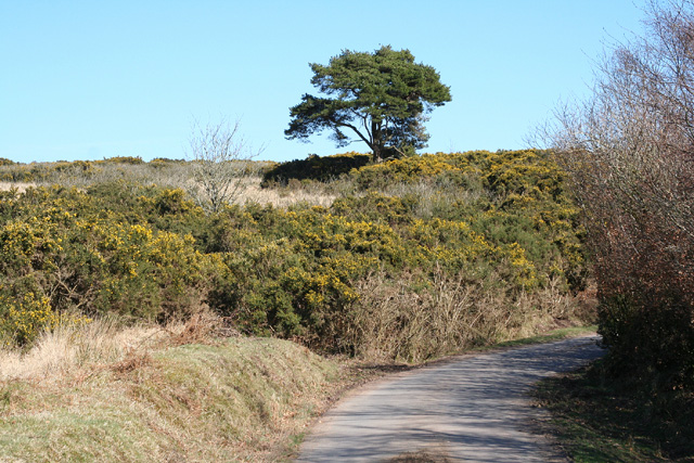
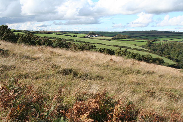
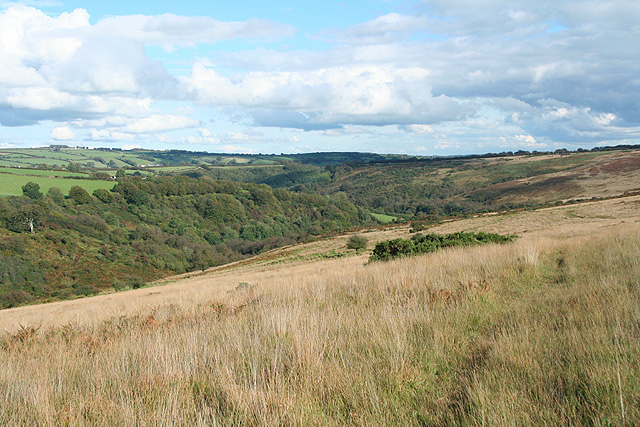
West Anstey Common is a picturesque area of moorland and downs located in Devon, England. Covering an expansive area, it is situated near the village of West Anstey, between the towns of Tiverton and South Molton. The common is known for its stunning natural beauty and diverse wildlife.
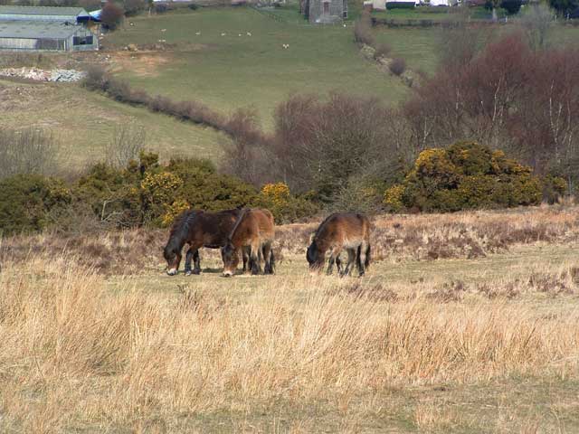
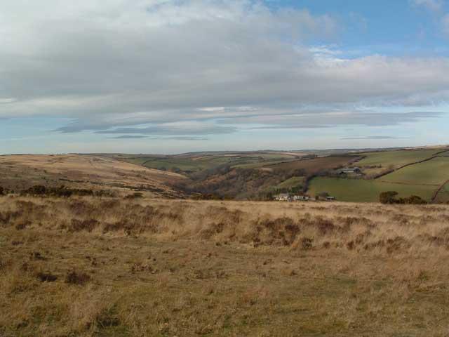
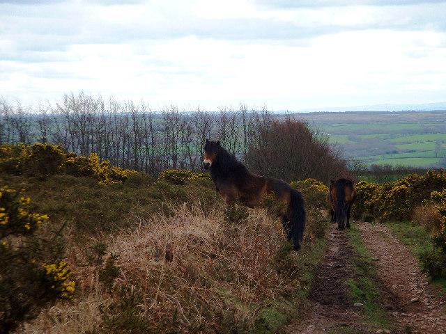
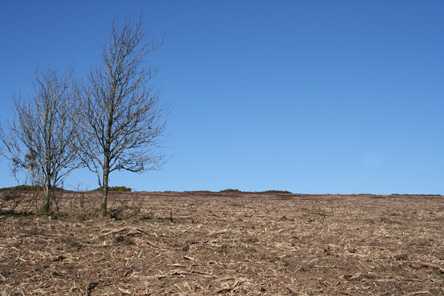
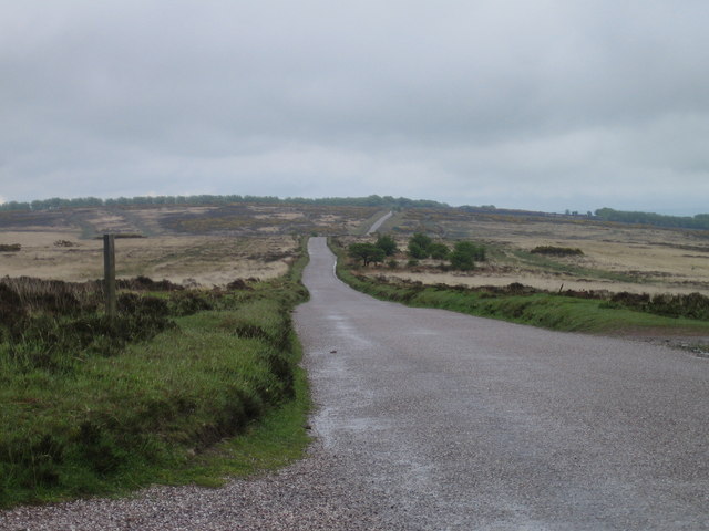
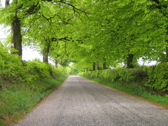
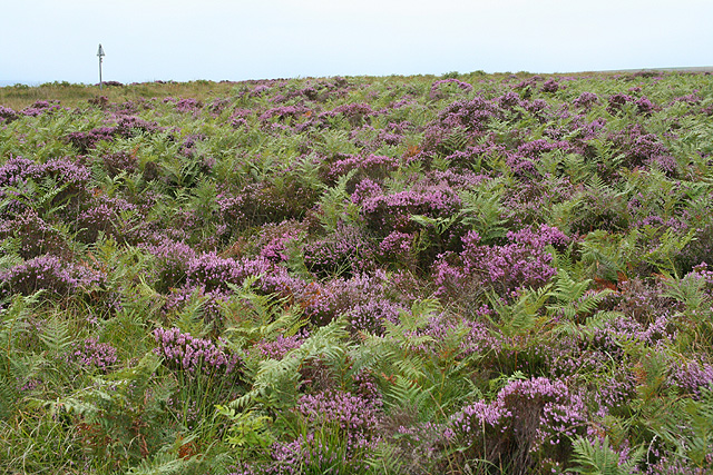
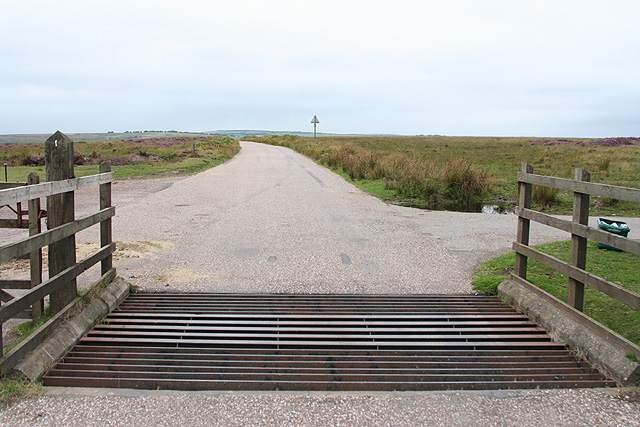
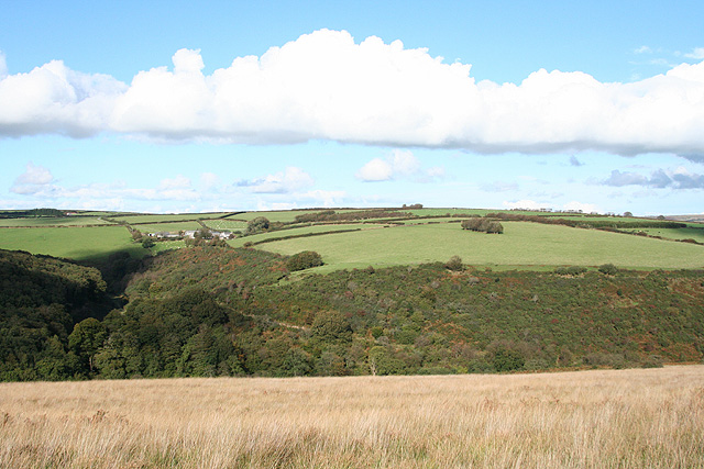
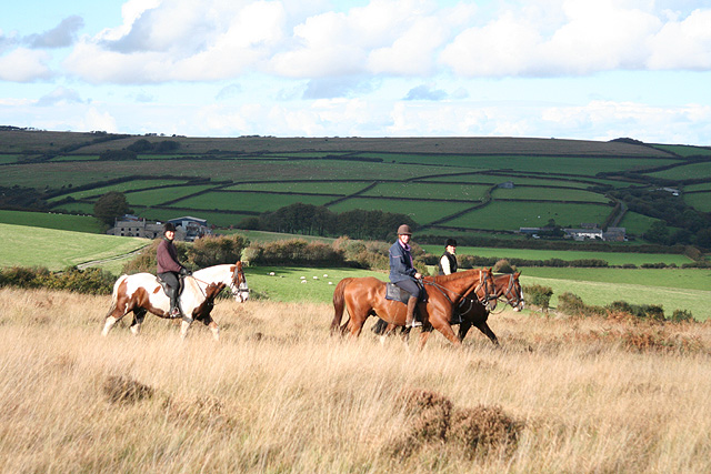
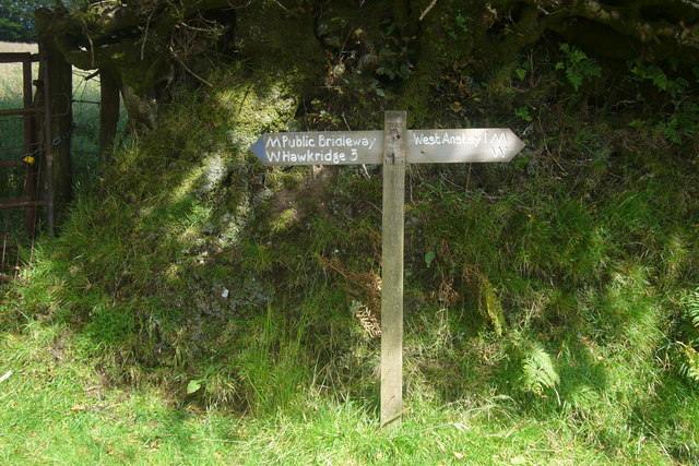
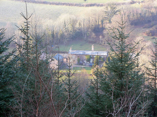
The landscape of West Anstey Common is characterized by rolling hills, heather-covered moorland, and scattered woodlands. It offers panoramic views of the surrounding countryside, making it a popular destination for nature enthusiasts and hikers. The area is traversed by a network of footpaths, allowing visitors to explore its many features.
The common is home to a variety of plant and animal species, including rare and endangered ones. Heather dominates the moorland, providing a vibrant purple hue during the summer months. Other plants such as bilberry, gorse, and bracken can also be found across the common.
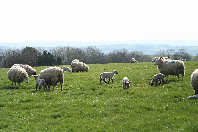
In terms of wildlife, West Anstey Common is a haven for many species. Birdwatchers can spot a range of birds, including buzzards, kestrels, and skylarks, soaring above the open moorland. The woodlands provide a habitat for woodland birds like tawny owls and tree pipits. Additionally, the common is home to various mammals, including badgers, foxes, and deer.
The common is managed by the Exmoor National Park Authority, which ensures the preservation of its natural environment. The area is accessible to the public year-round, offering opportunities for walking, photography, and wildlife observation. Whether it's enjoying the stunning views or discovering the diverse flora and fauna, West Anstey Common is a place of natural beauty and tranquility in the heart of Devon.
If you have any feedback on the listing, please let us know in the comments section below.
West Anstey Common Images
Images are sourced within 2km of 51.051432/-3.6479542 or Grid Reference SS8429. Thanks to Geograph Open Source API. All images are credited.
West Anstey Common is located at Grid Ref: SS8429 (Lat: 51.051432, Lng: -3.6479542)
Administrative County: Devon
District: North Devon
Police Authority: Devon and Cornwall
What 3 Words
///drums.denote.accompany. Near Dulverton, Somerset
Nearby Locations
Related Wikis

West Anstey
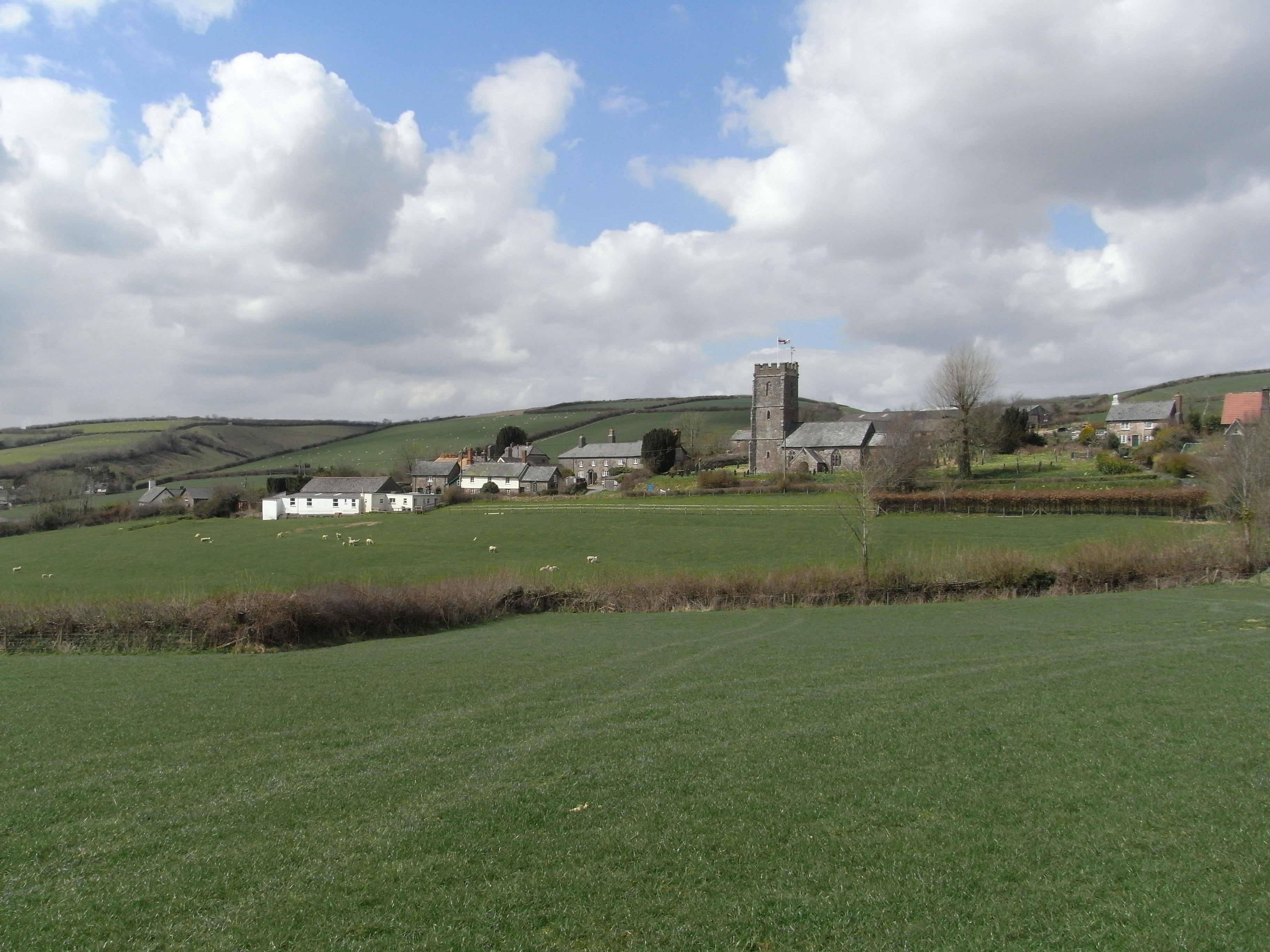
West Anstey is a village and civil parish on the River Yeo, about 5 miles west of Dulverton, in the North Devon district, in the county of Devon, England...

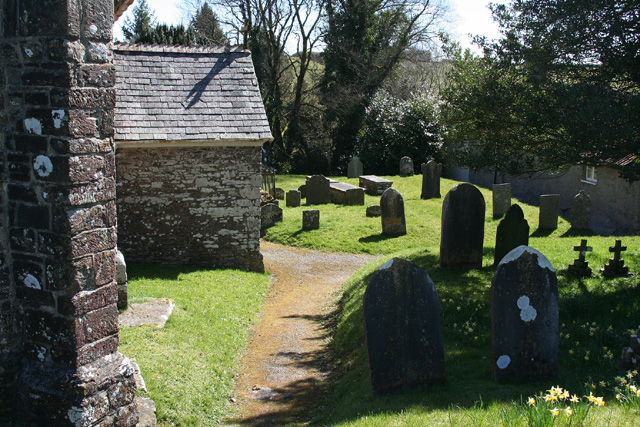
Church of St Giles, Hawkridge
The Anglican Church of St Giles in Hawkridge, Somerset, England was built in the 14th century. It is a Grade II* listed building. == History == The oldest...

Tarr Steps
The Tarr Steps is a clapper bridge across the River Barle in the Exmoor National Park, Somerset, England. They are located in a national nature reserve...

Brewer's Castle
Brewer's Castle is a defended Iron Age settlement in the West Somerset district of Somerset, England. The hill fort is situated approximately 2 miles...

Mounsey Castle
Mounsey Castle is an Iron Age irregular triangular earthwork of 1.75 hectares (4.3 acres) north west of Dulverton, Somerset, England. It has been scheduled...
Molland
Molland is a small village, civil parish, dual ecclesiastical parish with Knowstone, located in the foothills of Exmoor in Devon, England. It lies within...

Oldways End
Oldways End is a hamlet in the civil parish of East Anstey in the North Devon district of Devon, England. Its nearest town is Tiverton, which lies approximately...

East Anstey
East Anstey is a village and civil parish in the North Devon district of Devon, England. The parish is located in an area which has been designated as...
Have you been to West Anstey Common?
Leave your review of West Anstey Common below (or comments, questions and feedback).