Anstey Rhiney Moor
Downs, Moorland in Devon North Devon
England
Anstey Rhiney Moor
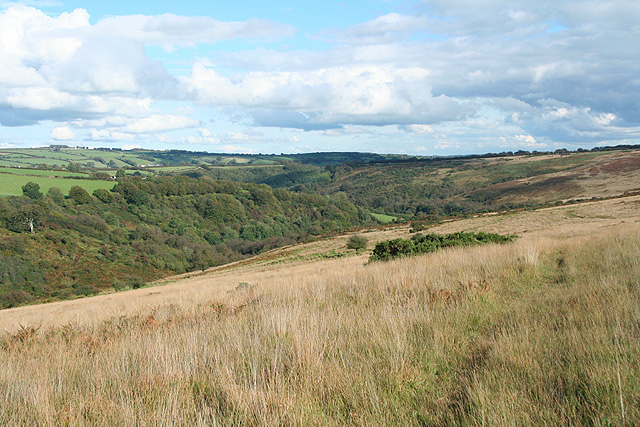
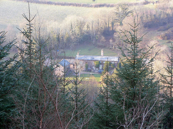
Anstey Rhiney Moor, located in Devon, England, is a picturesque area known for its stunning downs and moorland landscapes. Stretching over a vast expanse of approximately 10 square kilometers, this natural paradise offers visitors a unique and diverse experience.
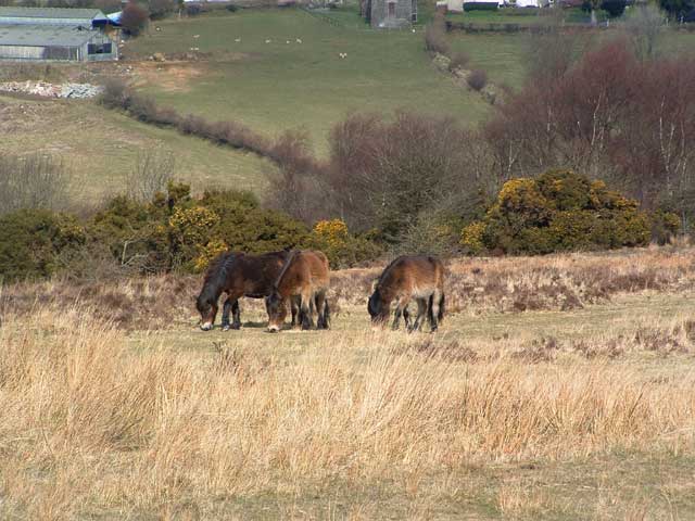
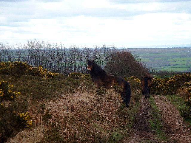
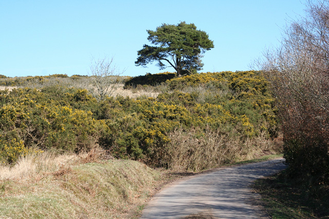
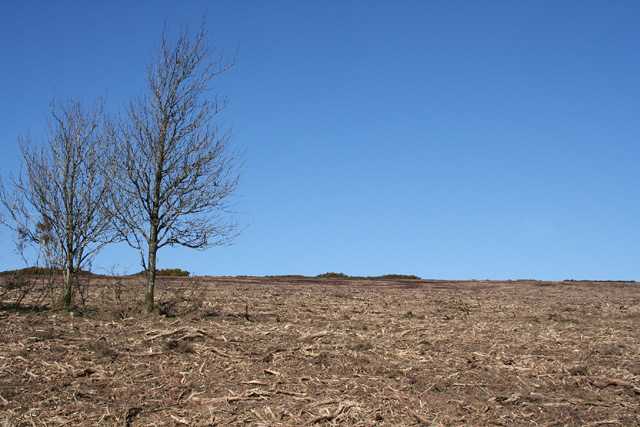
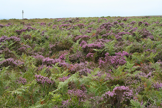
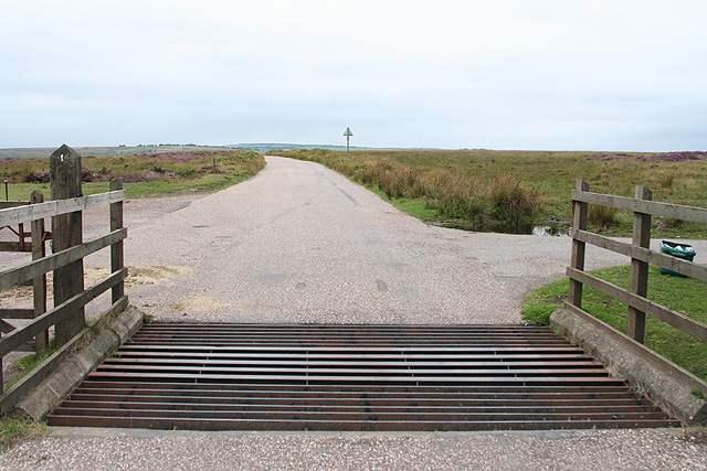
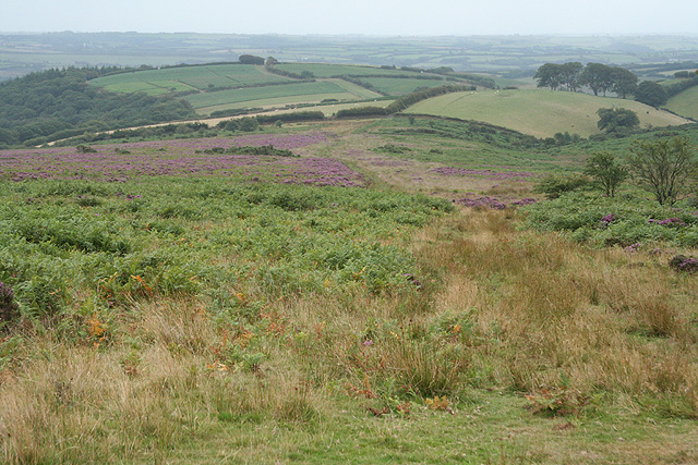
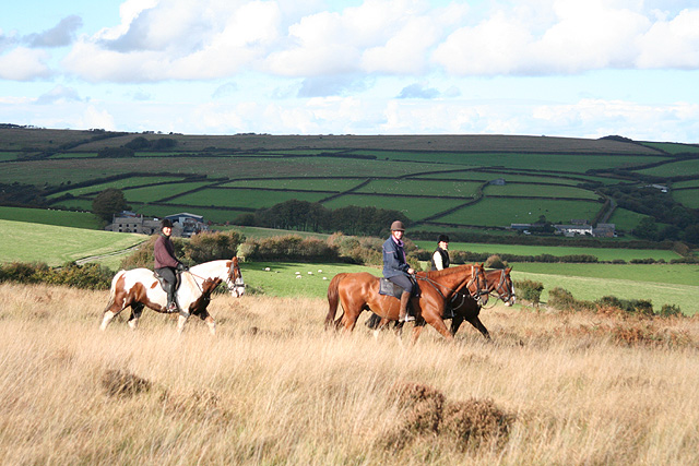
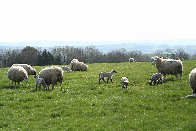
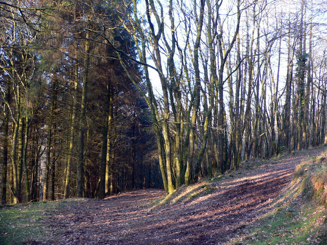
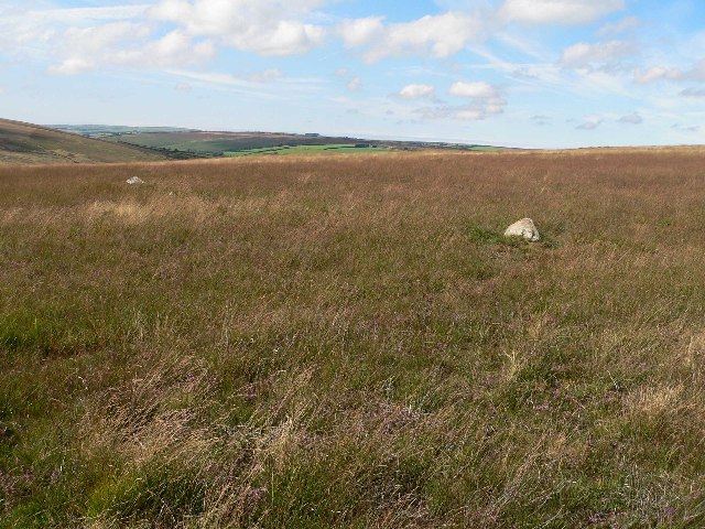
The moorland of Anstey Rhiney Moor is characterized by its rolling hills, heather-covered landscapes, and vast open spaces. It is home to a variety of flora and fauna, including rare species such as the Dartford warbler, the adder snake, and the Dartmoor pony. Visitors can enjoy leisurely walks or challenging hikes through the moor, immersing themselves in the tranquility of nature.
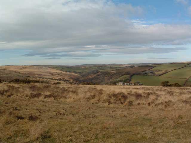
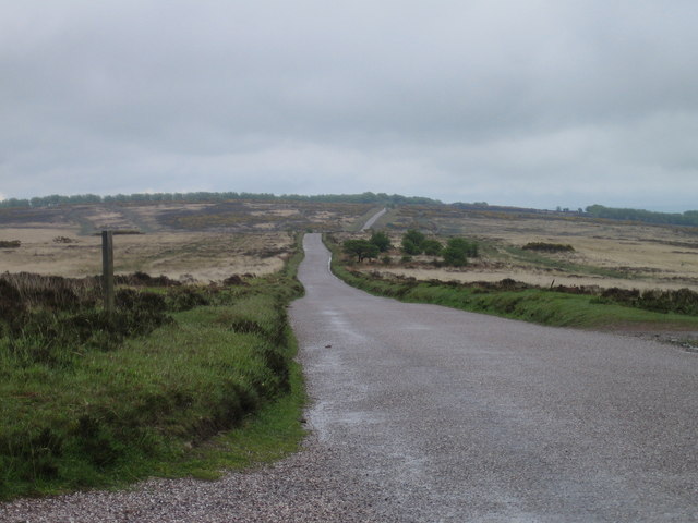
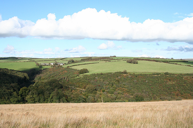
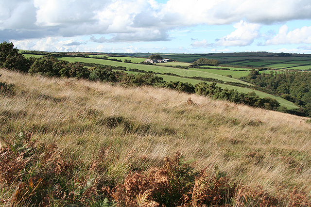
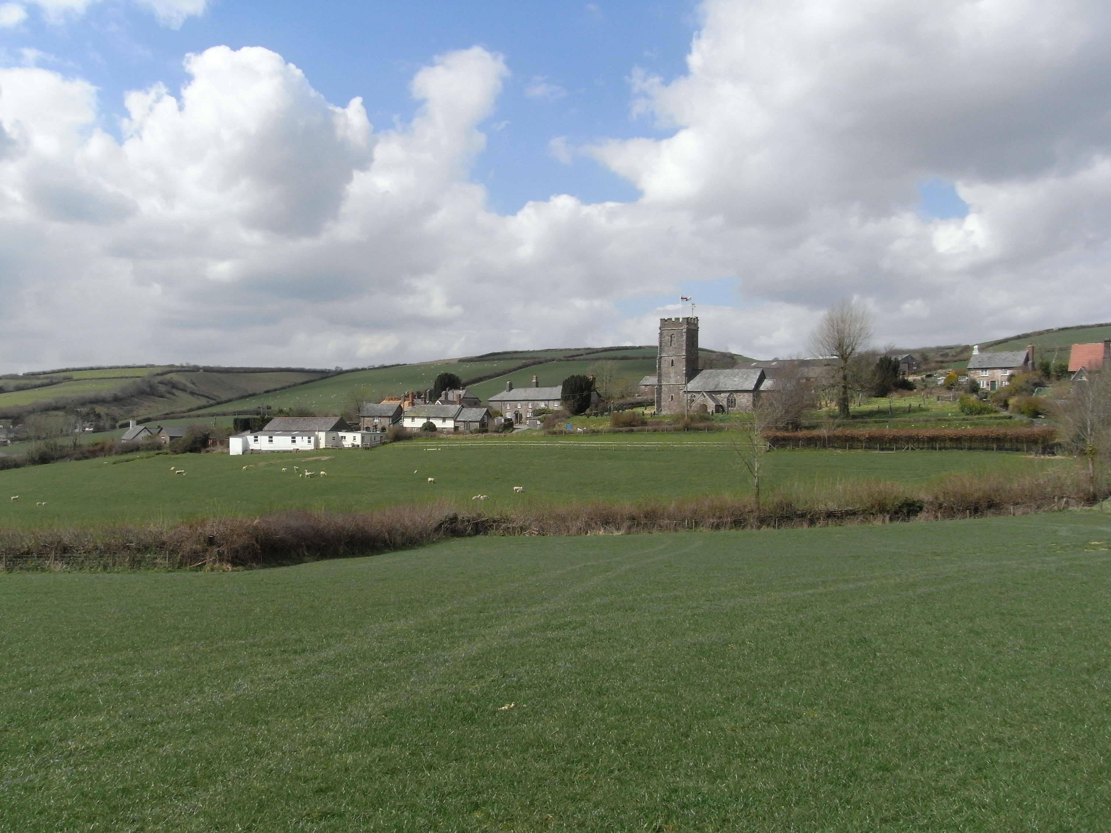
The downs of Anstey Rhiney Moor are another highlight of the area. With their sweeping grasslands and panoramic views, they provide the perfect setting for outdoor activities such as picnicking, kite flying, and birdwatching. The downs are also a popular spot for paragliding and hang gliding enthusiasts, offering breathtaking aerial views of the surrounding countryside.
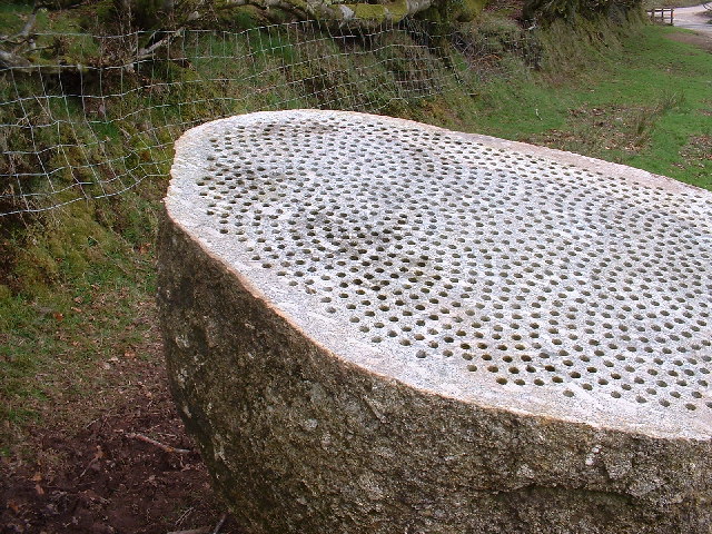
Anstey Rhiney Moor is not only a haven for nature lovers but also a site of historical significance. The area is dotted with ancient archaeological remains, including burial mounds and stone circles, dating back thousands of years. These remnants provide a fascinating glimpse into the region's rich history and cultural heritage.
Overall, Anstey Rhiney Moor is a must-visit destination for those seeking a blend of natural beauty, outdoor adventure, and historical intrigue. Whether you are a nature enthusiast, a history buff, or simply looking to escape the hustle and bustle of everyday life, this enchanting corner of Devon is sure to captivate your senses.
If you have any feedback on the listing, please let us know in the comments section below.
Anstey Rhiney Moor Images
Images are sourced within 2km of 51.055596/-3.6511271 or Grid Reference SS8429. Thanks to Geograph Open Source API. All images are credited.
Anstey Rhiney Moor is located at Grid Ref: SS8429 (Lat: 51.055596, Lng: -3.6511271)
Administrative County: Devon
District: North Devon
Police Authority: Devon and Cornwall
What 3 Words
///weeks.bliss.headers. Near Dulverton, Somerset
Nearby Locations
Related Wikis

Church of St Giles, Hawkridge
The Anglican Church of St Giles in Hawkridge, Somerset, England was built in the 14th century. It is a Grade II* listed building. == History == The oldest...

West Anstey
West Anstey is a village and civil parish on the River Yeo, about 5 miles west of Dulverton, in the North Devon district, in the county of Devon, England...

Tarr Steps
The Tarr Steps is a clapper bridge across the River Barle in the Exmoor National Park, Somerset, England. They are located in a national nature reserve...

Brewer's Castle
Brewer's Castle is a defended Iron Age settlement in the West Somerset district of Somerset, England. The hill fort is situated approximately 2 miles...
Molland
Molland is a small village, civil parish, dual ecclesiastical parish with Knowstone, located in the foothills of Exmoor in Devon, England. It lies within...

Mounsey Castle
Mounsey Castle is an Iron Age irregular triangular earthwork of 1.75 hectares (4.3 acres) north west of Dulverton, Somerset, England. It has been scheduled...
Withypool Stone Circle
Withypool Stone Circle, also known as Withypool Hill Stone Circle, is a stone circle located on the Exmoor moorland, near the village of Withypool in the...

Ashwick House, Dulverton
not to be confused with the 17th century Ashwick Court in eastern Somerset.Ashwick House is an Edwardian mansion in Ashwick, four miles northwest of Dulverton...
Nearby Amenities
Located within 500m of 51.055596,-3.6511271Have you been to Anstey Rhiney Moor?
Leave your review of Anstey Rhiney Moor below (or comments, questions and feedback).