Coronation Park
Downs, Moorland in Brecknockshire
Wales
Coronation Park
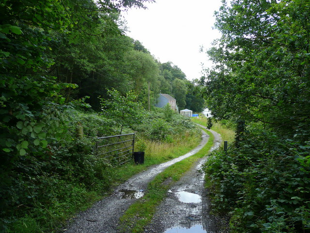
Coronation Park, located in the scenic county of Brecknockshire, is a captivating natural reserve that showcases the stunning beauty of the Downs and Moorland landscapes. Spanning over a vast area, this park offers visitors an immersive experience in the heart of nature.
The park is renowned for its diverse flora and fauna, making it a haven for nature enthusiasts and wildlife lovers. The Downs section of the park features rolling hills and expansive grasslands, providing picturesque views that stretch for miles. These open spaces are home to a variety of plant species, including wildflowers such as harebells and orchids, adding bursts of color to the landscape.
Venturing into the Moorland area of the park, visitors are greeted by a unique ecosystem characterized by heather-covered hills and peat bogs. This habitat is a breeding ground for numerous bird species, such as the red grouse and curlew, creating a symphony of bird calls that echo throughout the park. The moorland is also home to adorable creatures like mountain hares and red deer, which can often be spotted by keen-eyed observers.
Coronation Park provides an array of activities for nature enthusiasts, including hiking trails that meander through its breathtaking landscapes. The park's paths are well-maintained, allowing visitors to explore the area at their own pace. Additionally, designated picnic spots provide the perfect opportunity to enjoy a leisurely meal amidst the natural splendor.
Whether it's immersing oneself in the tranquility of the Downs or marveling at the unique Moorland ecosystem, Coronation Park in Brecknockshire offers an unforgettable experience for those seeking solace in nature's embrace.
If you have any feedback on the listing, please let us know in the comments section below.
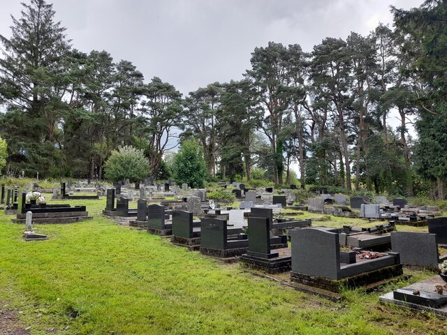
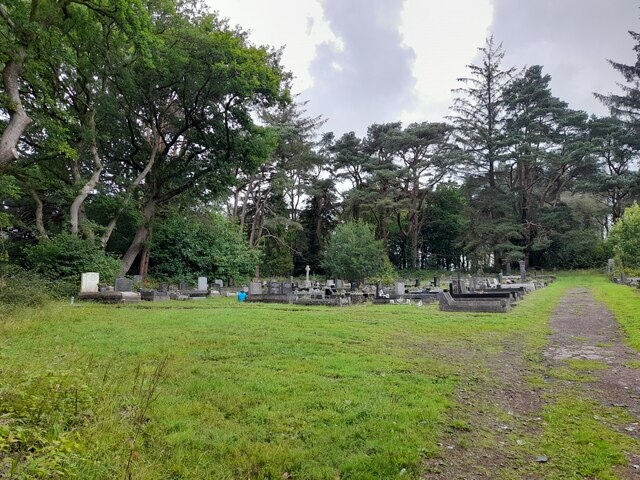
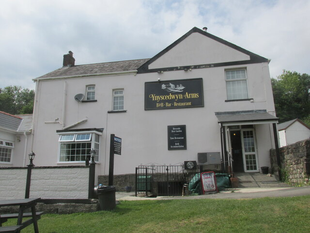
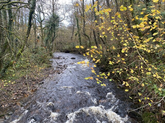
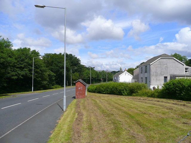
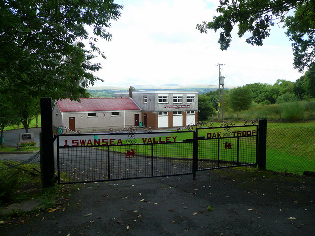
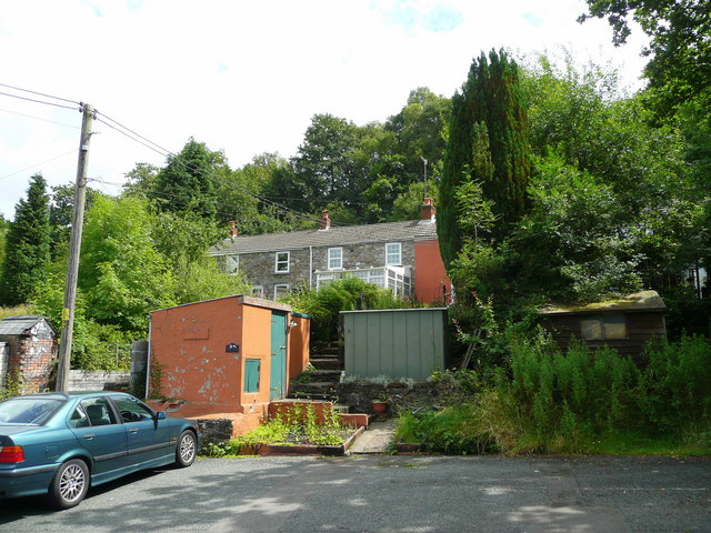
Coronation Park Images
Images are sourced within 2km of 51.778345/-3.7648829 or Grid Reference SN7810. Thanks to Geograph Open Source API. All images are credited.
Coronation Park is located at Grid Ref: SN7810 (Lat: 51.778345, Lng: -3.7648829)
Unitary Authority: Powys
Police Authority: Dyfed Powys
What 3 Words
///acid.civil.buildings. Near Ystradgynlais, Powys
Nearby Locations
Related Wikis

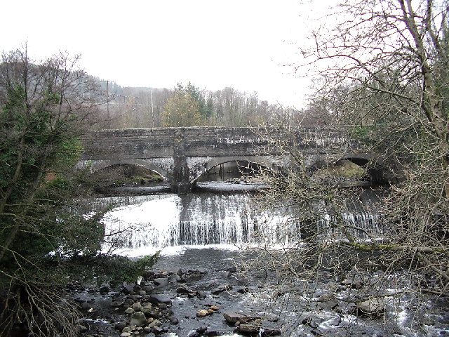
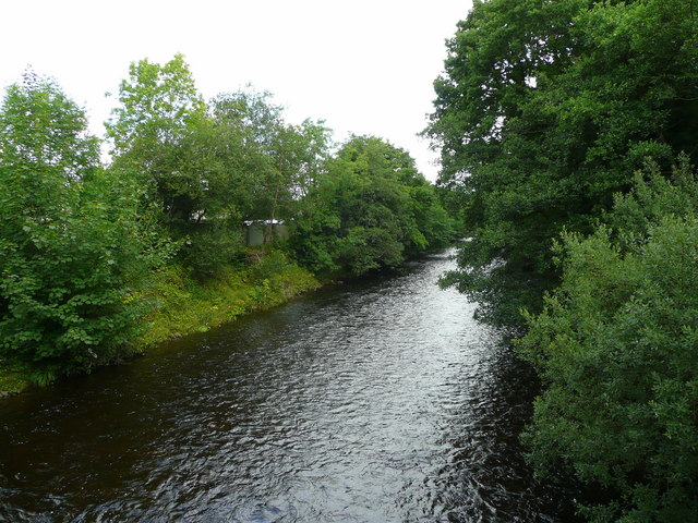
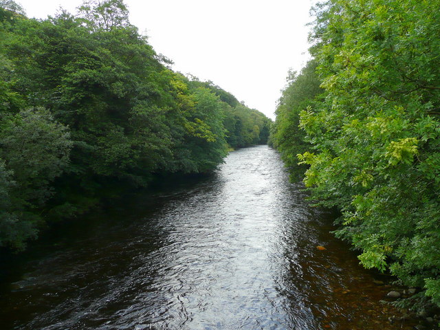
River Giedd
The River Giedd (Welsh: Afon Giedd) is a principal tributary of the River Tawe, Wales. The river runs within the county of Powys and lies almost wholly...

Ystradgynlais
Ystradgynlais (Welsh: [ˌəstradˈɡənlais], English: ) is a town on the River Tawe in southwest Powys, Wales. It is the second-largest town in Powys and...

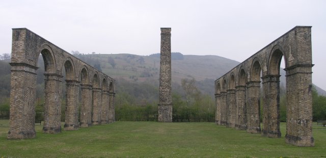
Ynyscedwyn Ironworks
Ynyscedwyn Ironworks is an industrial complex located in Ystradgynlais, near Swansea, Wales. Smelting was first established here in seventeenth century...

Ystradgynlais railway station
Ystradgynlais railway station served the town of Ystradgynlais in the traditional county of Breconshire, Wales. Opened in 1869 by the Swansea Vale and...

Ystradgynlais Community Hospital
Ystradgynlais Community Hospital (Welsh: Ysbyty Cymunedol Ystradgynlais) is a health facility in Glanrhyd Road, Ystradgynlais, Powys, Wales. It is managed...
Cwmgiedd
Cwmgiedd is a small village beside the River Giedd within the community of Ystradgynlais, Powys, Wales. It lies 22.5 km (15 miles) north-east of Swansea...
Ystalyfera railway station
Ystalyfera railway station served the village of Ystalyfera, in the historical county of Glamorganshire, Wales, from 1861 to 1950 on the Swansea Vale Railway...

Ysgol Gymraeg Ystalyfera Bro Dur
Ysgol Gymraeg Ystalyfera Bro Dur is a Welsh-medium comprehensive school in Neath Port Talbot, Wales. The school provides education to three to eighteen...
Nearby Amenities
Located within 500m of 51.778345,-3.7648829Have you been to Coronation Park?
Leave your review of Coronation Park below (or comments, questions and feedback).