Doddies Brae
Downs, Moorland in Dumfriesshire
Scotland
Doddies Brae

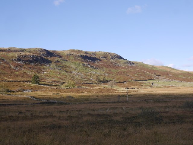
Doddies Brae is a picturesque area located in Dumfriesshire, Scotland. Nestled amidst the rolling hills and moorland, it offers breathtaking views and a tranquil atmosphere to visitors and locals alike. The brae, which refers to a steep slope or hillside, provides a challenging yet rewarding experience for hikers and nature enthusiasts.
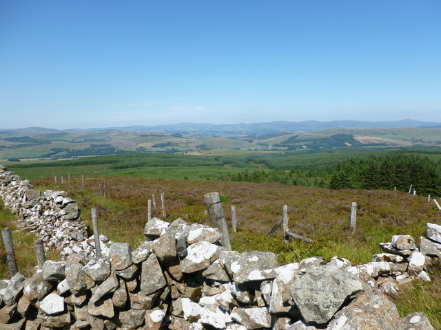
The landscape of Doddies Brae is characterized by vast stretches of wild, untamed moorland. These moors are home to a diverse range of flora and fauna, including heather, mosses, and various species of birds and small mammals. The area is particularly known for its vibrant purple heather that blankets the hills during the summer months, creating a stunning spectacle.
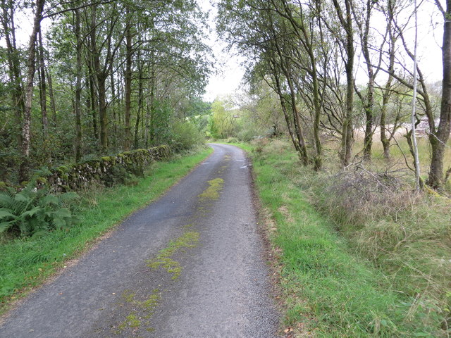
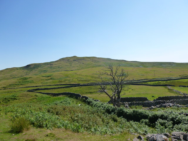
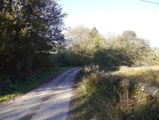
The terrain in Doddies Brae is undulating, with steep inclines and descents that pose a thrilling adventure for walkers and cyclists. The paths are well-maintained, ensuring a safe and enjoyable experience for all visitors. As one ascends the brae, the panoramic views of the surrounding countryside unfold, offering glimpses of distant lochs and valleys.
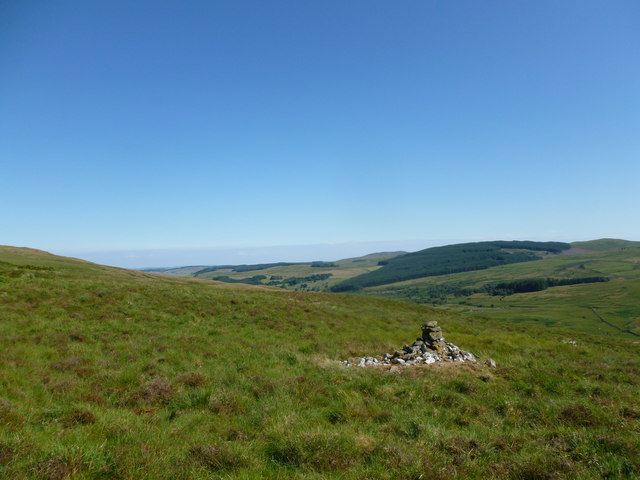
Doddies Brae is also steeped in history, with ancient burial mounds and stone circles scattered throughout the area. These remnants from the past provide a glimpse into the lives of the people who once inhabited this land. Visitors can explore these historical sites and marvel at the ingenuity and craftsmanship of our ancestors.
Overall, Doddies Brae in Dumfriesshire is a haven for nature lovers and those seeking a peaceful retreat. With its stunning landscapes, challenging trails, and rich historical heritage, it is a must-visit destination for anyone looking to immerse themselves in the beauty of the Scottish countryside.
If you have any feedback on the listing, please let us know in the comments section below.
Doddies Brae Images
Images are sourced within 2km of 55.142314/-3.9096587 or Grid Reference NX7884. Thanks to Geograph Open Source API. All images are credited.
![Shillingsland A roofless ruin at the time this photograph was taken, the building has subsequently been renovated [<a title="https://www.geograph.org.uk/photo/486178" href="https://www.geograph.org.uk/photo/486178">Link</a>].](https://s1.geograph.org.uk/geophotos/05/04/57/5045781_60cd9577.jpg)
![Shillingland A roofless ruin at the time this photograph was taken, the building has subsequently been renovated [<a title="https://www.geograph.org.uk/photo/486178" href="https://www.geograph.org.uk/photo/486178">Link</a>].](https://s2.geograph.org.uk/geophotos/05/04/57/5045798_9171ae7d.jpg)


Doddies Brae is located at Grid Ref: NX7884 (Lat: 55.142314, Lng: -3.9096587)
Unitary Authority: Dumfries and Galloway
Police Authority: Dumfries and Galloway
What 3 Words
///widget.moons.searcher. Near Thornhill, Dumfries & Galloway
Nearby Locations
Related Wikis

Craigenputtock
Craigenputtock (usually spelled by the Carlyles as Craigenputtoch) is an estate in Scotland where Thomas Carlyle lived from 1828 to 1834. He wrote several...

Dumfries and Galloway
Dumfries and Galloway (Scots: Dumfries an Gallowa; Scottish Gaelic: Dùn Phrìs is Gall-Ghaidhealaibh) is one of the 32 unitary council areas of Scotland...

Kirkland railway station
Kirkland railway station (NX810897) was one of the minor stations on the Cairn Valley Light Railway branch, from Dumfries. It served the rural area around...

Crawfordton House
Crawfordton House is a category B listed 19th-century country house, situated close to Moniaive in Dumfriesshire, Scotland. It was operated as Crawfordton...
Cademuir International School
Cademuir International School was a specialist school at Moniaive in Dumfries and Galloway, Scotland. The school, founded by Robert Mulvey in 1990, was...

Moniaive railway station
Moniaive railway station is the closed station terminus of the Cairn Valley Light Railway (CVR) branch, from Dumfries. It served the rural area of Moniaive...
Crossford railway station
Crossford is a closed station of the Cairn Valley Light Railway branch, from Dumfries. It served the rural area of Crossford in Dumfries and Galloway...

Moniaive
Moniaive ( 'monny-IVE'; Scottish Gaelic: Am Moine Naomh, "The Holy Moor") is a village in the Parish of Glencairn, in Dumfries and Galloway, southwest...
Nearby Amenities
Located within 500m of 55.142314,-3.9096587Have you been to Doddies Brae?
Leave your review of Doddies Brae below (or comments, questions and feedback).