Ystradgynlais
Settlement in Brecknockshire
Wales
Ystradgynlais
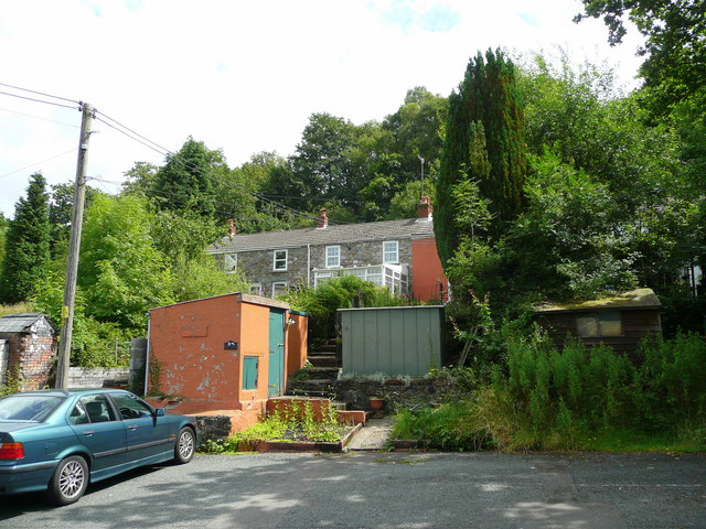
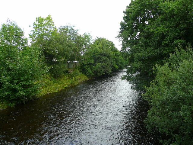
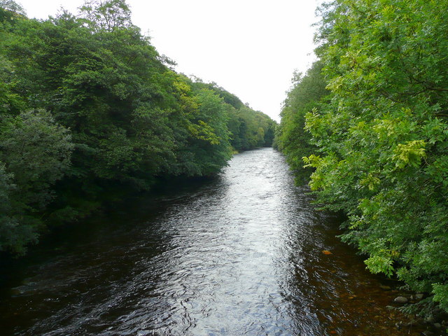
Ystradgynlais is a small town located in the county of Brecknockshire, Wales. Situated in the southern part of the county, it lies on the banks of the River Tawe and is surrounded by picturesque hills and valleys. The town is a part of the Brecon Beacons National Park, known for its stunning natural beauty and outdoor recreational opportunities.
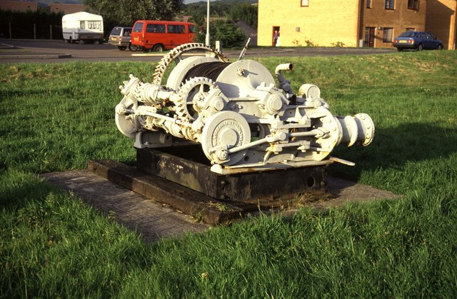
Ystradgynlais has a population of around 8,000 people and has a rich industrial history. In the past, the town was primarily known for its coal mining and ironworks industries, which played a significant role in its development. Today, the remnants of these industries can still be seen in the form of old mine workings and buildings.
The town offers a range of amenities and facilities for residents and visitors. There are several shops, supermarkets, and local businesses catering to everyday needs. Ystradgynlais also has a leisure center, a library, and a community hall, providing opportunities for fitness, learning, and social activities.
The surrounding countryside offers ample opportunities for outdoor enthusiasts. The Brecon Beacons National Park provides numerous walking, hiking, and cycling trails, allowing visitors to explore the stunning landscapes and enjoy breathtaking views. The nearby rivers and lakes also offer fishing and boating opportunities.
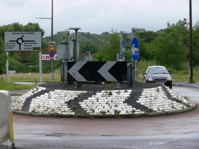
Ystradgynlais is well-connected to other parts of the county and beyond. It has good road links, with the A4067 passing through the town, connecting it to nearby towns and major cities. Additionally, there are regular bus services operating in the area.
In summary, Ystradgynlais is a small town in Brecknockshire that combines its industrial heritage with its natural beauty, offering residents and visitors a unique blend of history and outdoor experiences.
If you have any feedback on the listing, please let us know in the comments section below.
Ystradgynlais Images
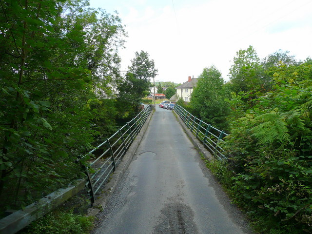
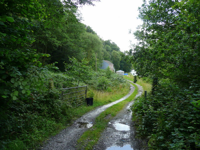
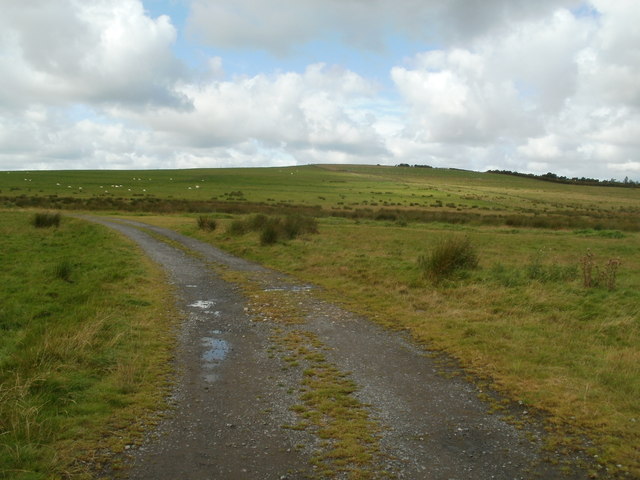
Images are sourced within 2km of 51.777494/-3.758465 or Grid Reference SN7810. Thanks to Geograph Open Source API. All images are credited.


Ystradgynlais is located at Grid Ref: SN7810 (Lat: 51.777494, Lng: -3.758465)
Unitary Authority: Powys
Police Authority: Dyfed Powys
What 3 Words
///anchors.vision.artichoke. Near Ystradgynlais, Powys
Nearby Locations
Related Wikis

Ystradgynlais
Ystradgynlais (Welsh: [ˌəstradˈɡənlais], English: ) is a town on the River Tawe in southwest Powys, Wales. It is the second-largest town in Powys and...

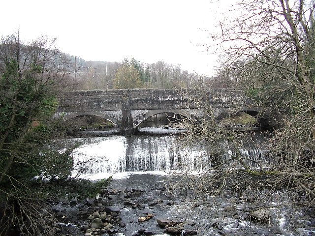
River Giedd
The River Giedd (Welsh: Afon Giedd) is a principal tributary of the River Tawe, Wales. The river runs within the county of Powys and lies almost wholly...

Ystradgynlais railway station
Ystradgynlais railway station served the town of Ystradgynlais in the traditional county of Breconshire, Wales. Opened in 1869 by the Swansea Vale and...

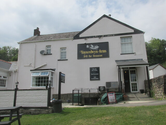
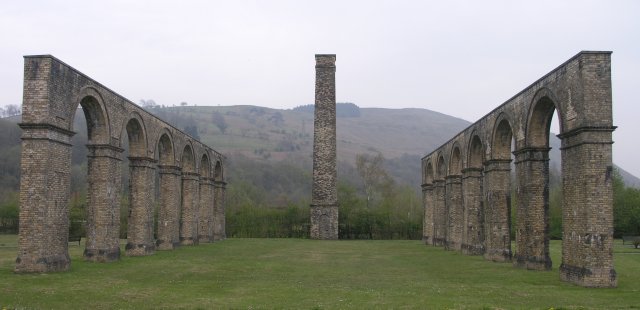
Ynyscedwyn Ironworks
Ynyscedwyn Ironworks is an industrial complex located in Ystradgynlais, near Swansea, Wales. Smelting was first established here in seventeenth century...

Ystradgynlais Community Hospital
Ystradgynlais Community Hospital (Welsh: Ysbyty Cymunedol Ystradgynlais) is a health facility in Glanrhyd Road, Ystradgynlais, Powys, Wales. It is managed...
Cwmgiedd
Cwmgiedd is a small village beside the River Giedd within the community of Ystradgynlais, Powys, Wales. It lies 22.5 km (15 miles) north-east of Swansea...
Mynydd y Drum
Mynydd y Drum is a hill on the border between the county of Powys and Neath Port Talbot County Borough, south Wales. The summit of the hill is in Neath...
Ystalyfera railway station
Ystalyfera railway station served the village of Ystalyfera, in the historical county of Glamorganshire, Wales, from 1861 to 1950 on the Swansea Vale Railway...
Nearby Amenities
Located within 500m of 51.777494,-3.758465Have you been to Ystradgynlais?
Leave your review of Ystradgynlais below (or comments, questions and feedback).