Dalginross Muir
Downs, Moorland in Perthshire
Scotland
Dalginross Muir
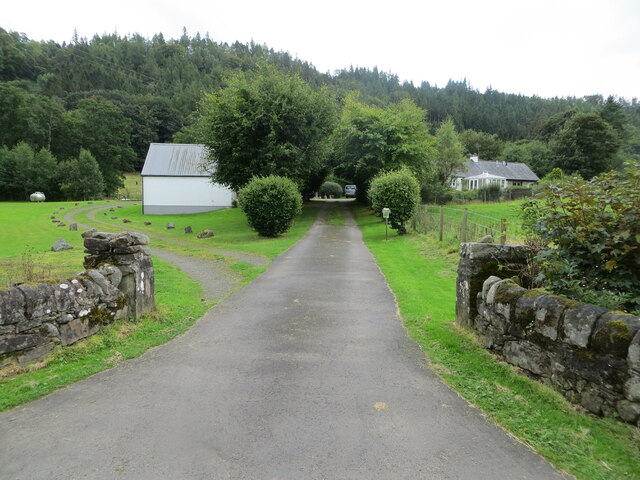
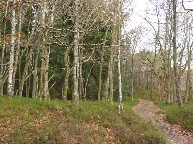
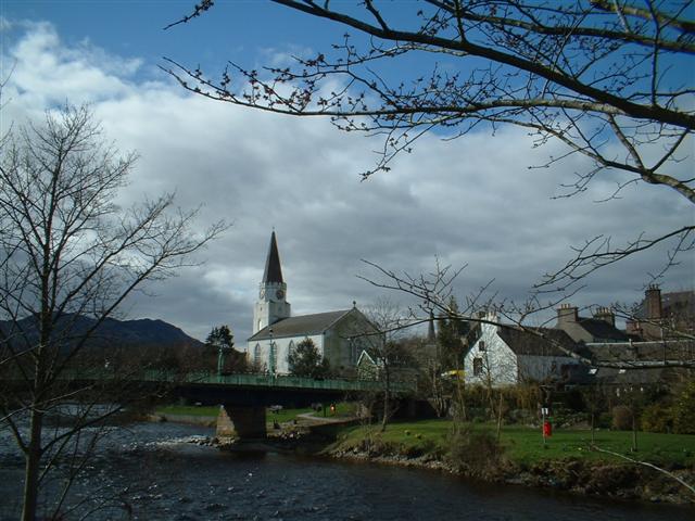
Dalginross Muir is a picturesque area located in Perthshire, Scotland. It is characterized by its stunning downs and moorland, which attract visitors from near and far. The muir stretches over a vast expanse, offering visitors a serene and tranquil environment to explore.
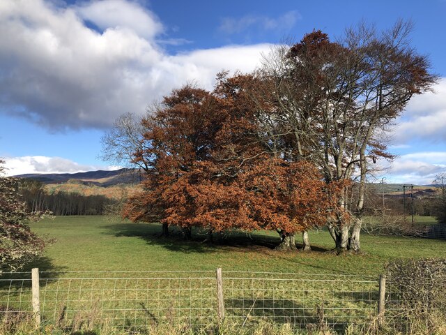
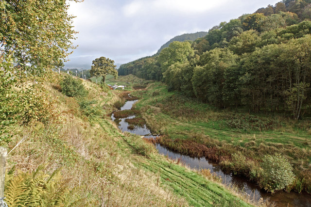
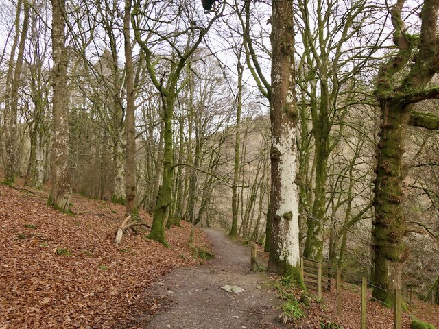
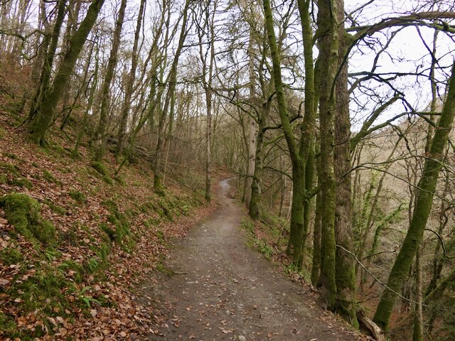
The downs of Dalginross Muir are known for their rolling hills and lush greenery. Visitors can enjoy breathtaking views of the surrounding landscape while taking leisurely walks or engaging in outdoor activities such as hiking or picnicking. The area is also home to a variety of wildlife, making it a popular spot for nature enthusiasts and birdwatchers.
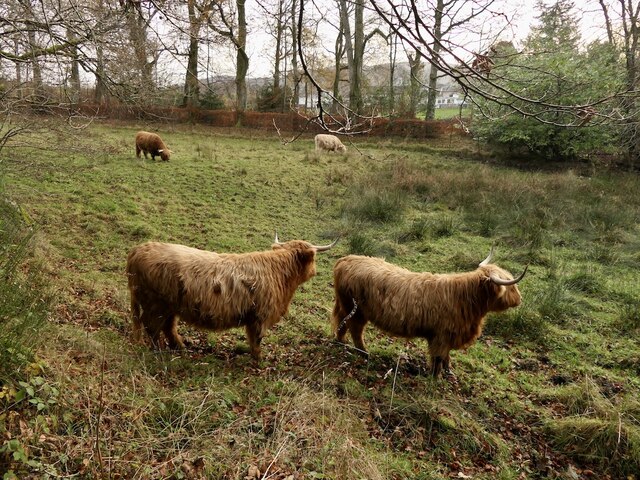
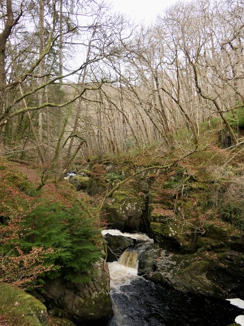
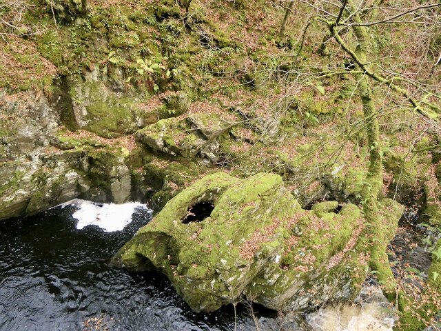
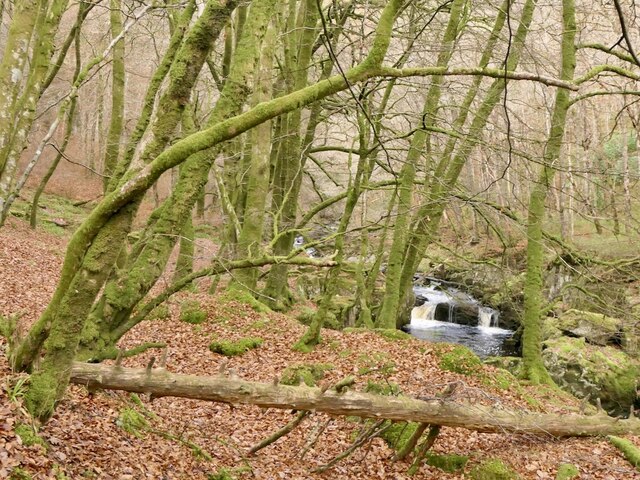
The moorland in Dalginross Muir is equally captivating, with its expansive open spaces and diverse flora and fauna. The moorland is characterized by its heather-covered terrain, which transforms into a beautiful purple hue during the blooming season. This makes it an ideal location for photographers and nature lovers.
Dalginross Muir is easily accessible, with well-maintained paths and trails for visitors to explore. There are also informative signposts throughout the area, providing interesting facts about the local flora and fauna. Additionally, the muir is equipped with parking facilities and visitor amenities, ensuring a comfortable and enjoyable experience for all.
Overall, Dalginross Muir in Perthshire offers a unique natural beauty that is both captivating and serene. Whether you are seeking a peaceful escape or an opportunity to immerse yourself in nature, this downs and moorland is a must-visit destination in Scotland.
If you have any feedback on the listing, please let us know in the comments section below.
Dalginross Muir Images
Images are sourced within 2km of 56.372266/-3.971592 or Grid Reference NN7821. Thanks to Geograph Open Source API. All images are credited.


Dalginross Muir is located at Grid Ref: NN7821 (Lat: 56.372266, Lng: -3.971592)
Unitary Authority: Perth and Kinross
Police Authority: Tayside
What 3 Words
///dispensed.exhaled.drilling. Near Comrie, Perth & Kinross
Nearby Locations
Related Wikis

1 Dunira Street
1 Dunira Street is an historic building in Comrie, Perth and Kinross, Scotland. It is a Category A listed building dating to 1904. Its architect was Charles...
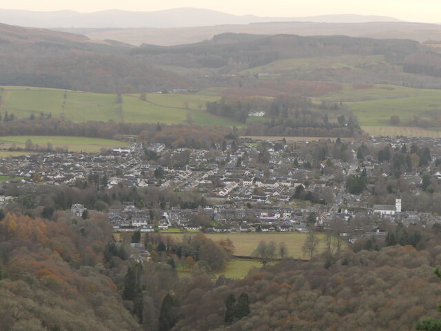
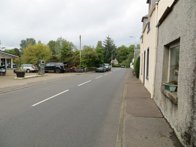
Comrie, Perth and Kinross
Comrie (; Gaelic: Cuimridh; Pictish: Aberlednock; Latin: Victoria) is a village and parish in the southern Highlands of Scotland, towards the western end...
Cultybraggan Camp
Cultybraggan Camp lies close to the village of Comrie, in west Perthshire, Scotland. It was first used as a prisoner of war (PoW) camp during World War...

Aberuchill Castle
Aberuchill Castle is located 3 kilometres (1.9 mi) west of Comrie in Perthshire, Scotland. It comprises an early 17th-century tower house, which was extended...

Dalchonzie
Dalchonzie is a place by the river Earn in Perthshire. Buildings there include a country house, a hydro-electric power station and farms. From 1903 to...

Dalchonzie Halt railway station
Dalchonzie Halt railway station, Dalchonzie Platform railway station or Dalchonzie Siding in the Parish of Comrie, Perth and Kinross, Scotland was an intermediate...
Dunira, Perthshire
Dunira (Scottish Gaelic: Dùn Iar) is an estate of about 350 hectares (860 acres) in Perthshire, Scotland, 3 miles (5 kilometres) northwest of Comrie and...

Ochtertyre
Ochtertyre is a country house and estate in Perth and Kinross, Scotland. It is located in Strathearn, between Crieff and Loch Turret, north of the A85...
Nearby Amenities
Located within 500m of 56.372266,-3.971592Have you been to Dalginross Muir?
Leave your review of Dalginross Muir below (or comments, questions and feedback).