Cantraywood
Downs, Moorland in Inverness-shire
Scotland
Cantraywood
The requested URL returned error: 429 Too Many Requests
If you have any feedback on the listing, please let us know in the comments section below.
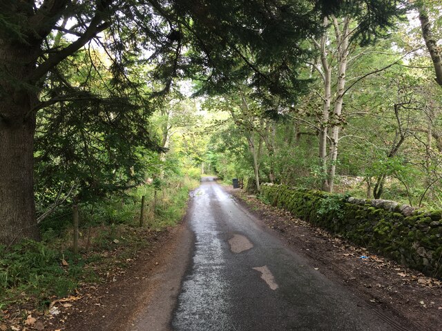
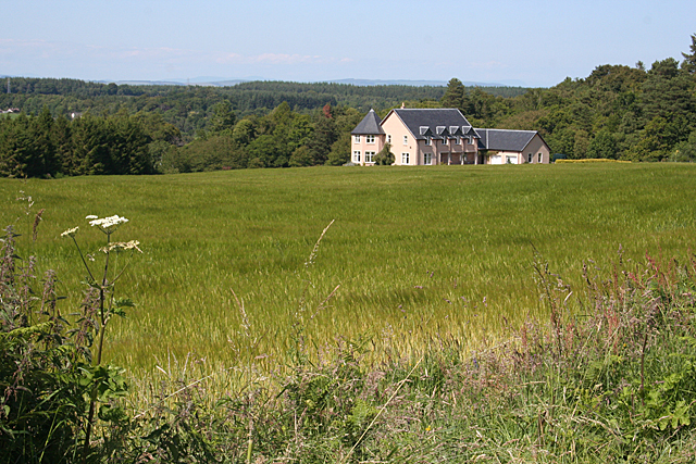
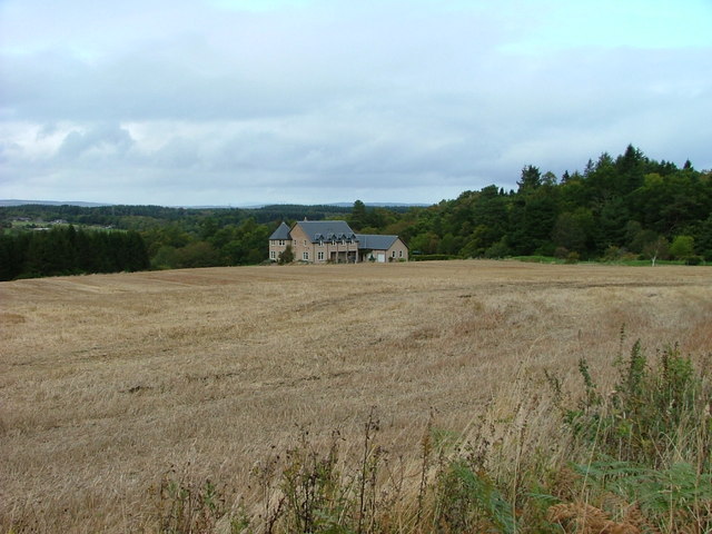
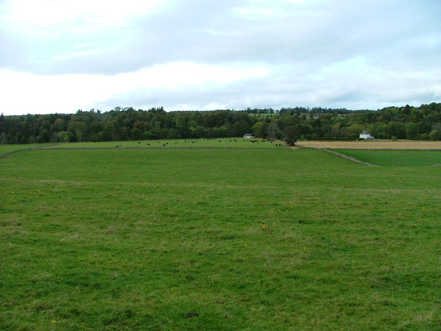
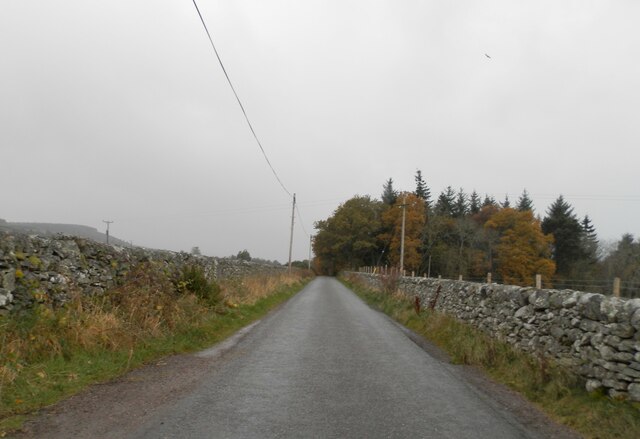
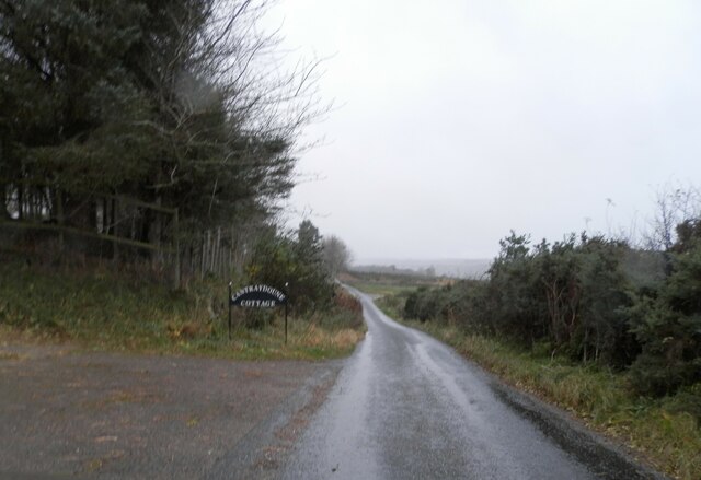
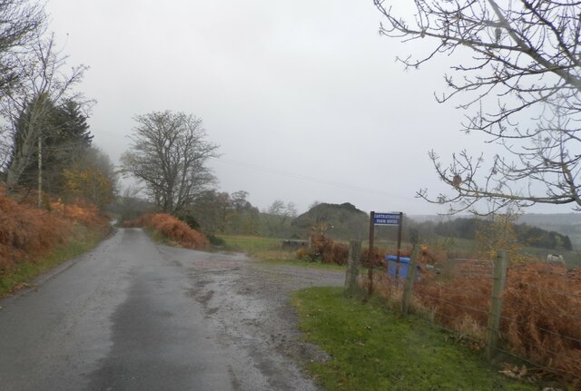
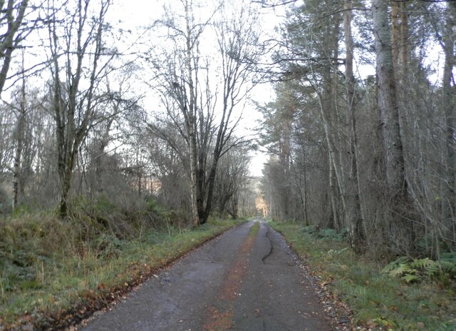
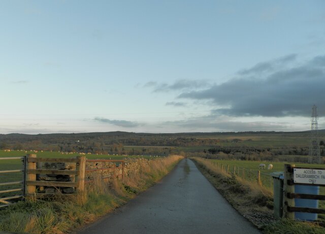
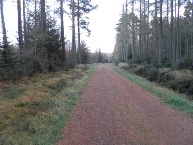
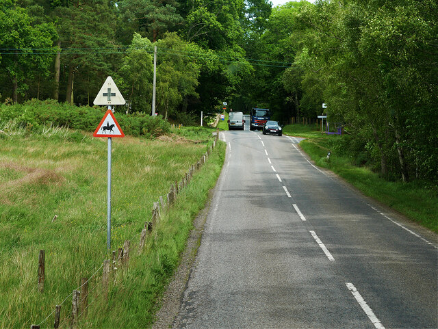
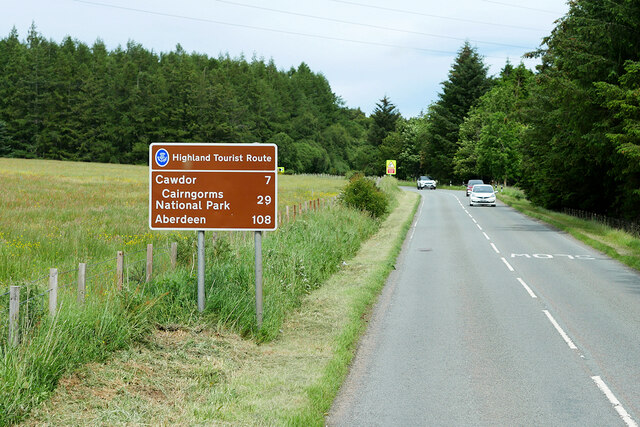
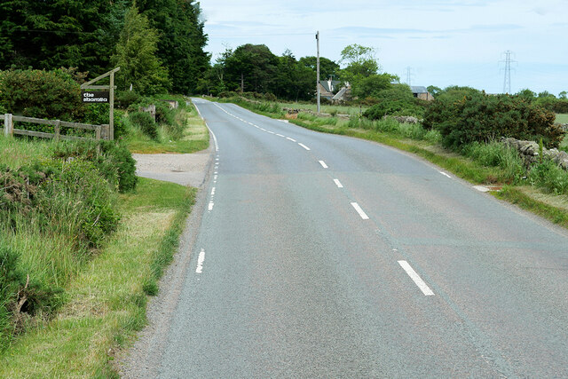
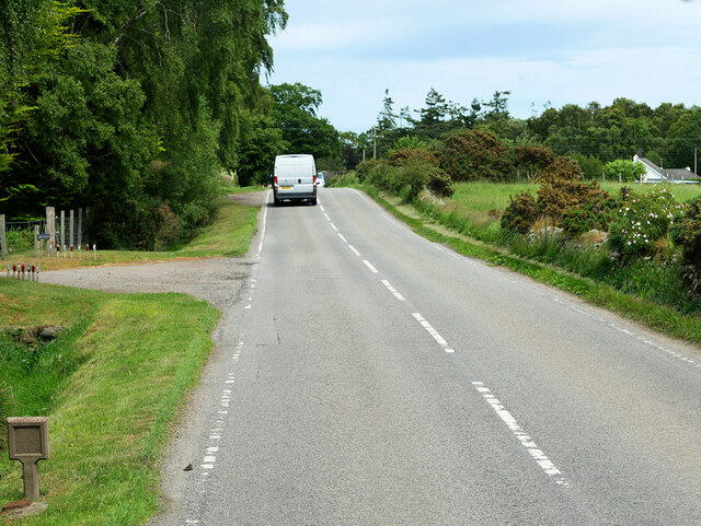
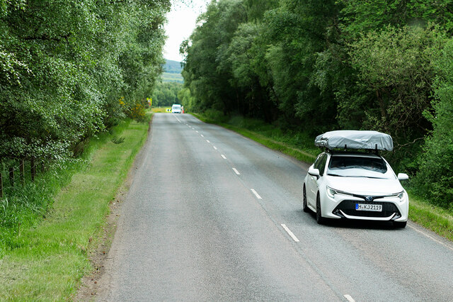
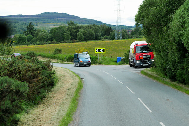
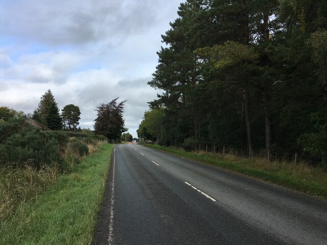
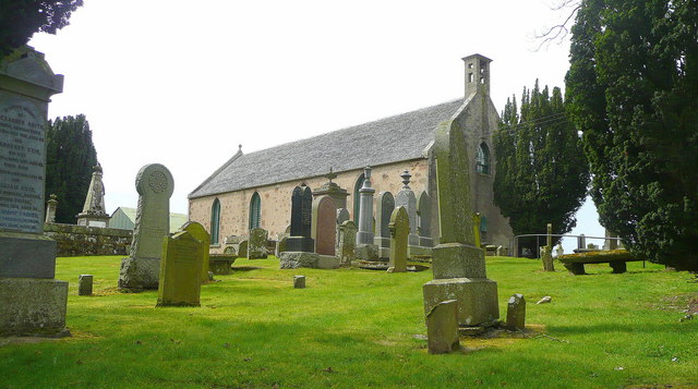
Cantraywood Images
Images are sourced within 2km of 57.503622/-4.0324148 or Grid Reference NH7847. Thanks to Geograph Open Source API. All images are credited.
Cantraywood is located at Grid Ref: NH7847 (Lat: 57.503622, Lng: -4.0324148)
Unitary Authority: Highland
Police Authority: Highlands and Islands
What 3 Words
///triads.searching.reputable. Near Balloch, Highland
Nearby Locations
Related Wikis
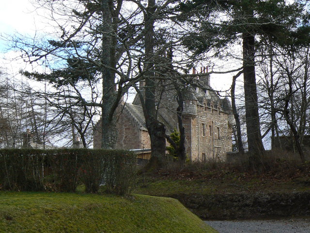
Dalcross Castle
Dalcross Castle is a restored 17th century tower house, about 1+1⁄2 miles (2.5 kilometres) southwest of Croy, Highland, Scotland, and about 7 miles (11...

Dalcross
Dalcross, in the original Gaelic, Dealgan Cros, later shortened to Dealgros, is a location in the Highland region of Scotland. It is on the Moray Firth...
Croy, Highland
Croy (Gaelic: Crothaigh) is a village between Inverness and Nairn, in the Highland council area in Scotland. The village looks over the Moray Firth and...

Tornagrain
Tornagrain (from the Scottish Gaelic Tòrr na Grèine meaning 'The Sunny Mound') is a hamlet and planned village in the Scottish Highlands, situated around...
Nearby Amenities
Located within 500m of 57.503622,-4.0324148Have you been to Cantraywood?
Leave your review of Cantraywood below (or comments, questions and feedback).