Cantraywood
Settlement in Inverness-shire
Scotland
Cantraywood

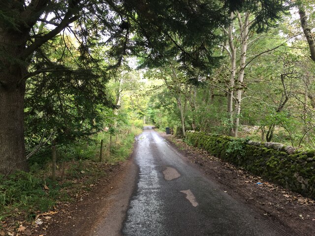
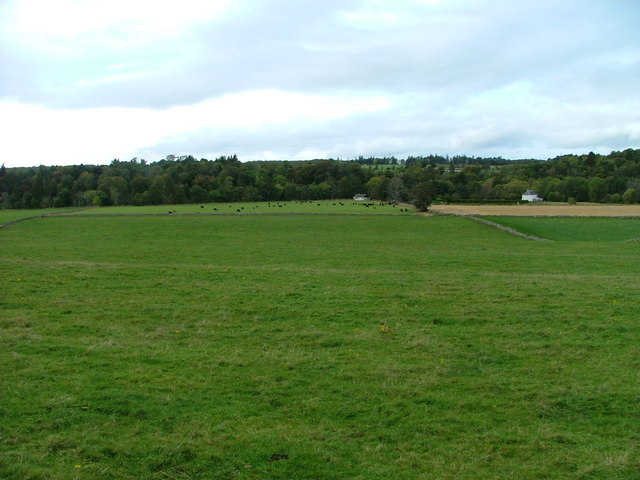
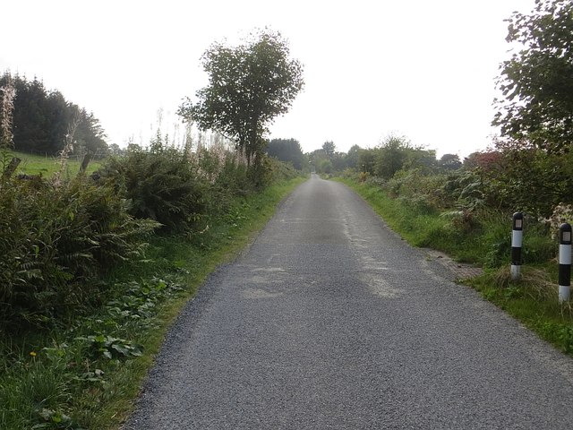
Cantraywood is a small village located in the county of Inverness-shire, Scotland. Situated approximately 9 miles west of Inverness, it is nestled within a picturesque rural landscape surrounded by rolling hills and lush green fields.
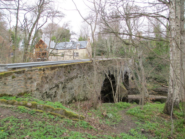
The village of Cantraywood is known for its tranquil atmosphere and close-knit community. It consists of a collection of charming traditional cottages, some of which date back several centuries. These properties contribute to the village's unique character and historical charm.
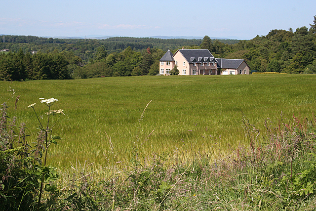
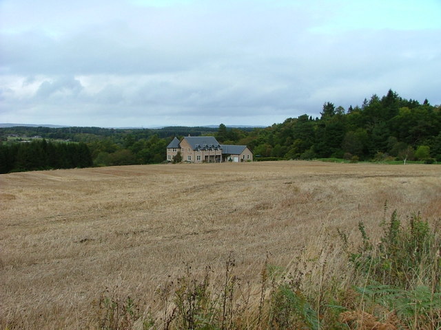
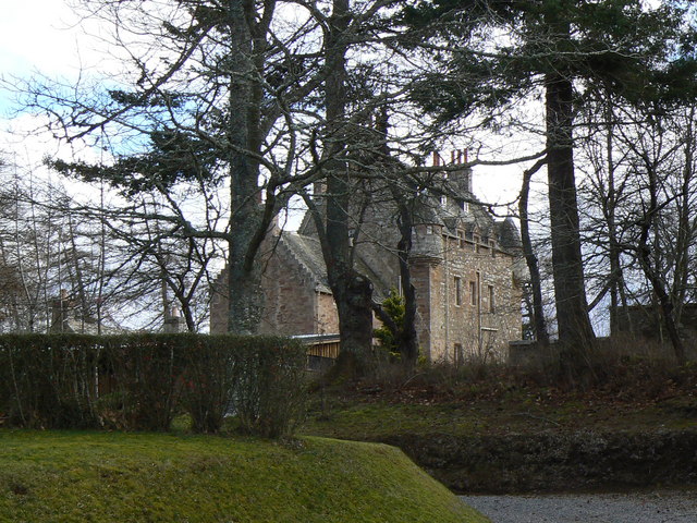
A notable feature of Cantraywood is its proximity to Cantray House, a magnificent Georgian mansion that now serves as a residential care home for individuals with learning disabilities. The house and its grounds add a touch of grandeur to the village and provide a sense of heritage and history.
The village offers a peaceful and idyllic lifestyle, away from the hustle and bustle of city life. Residents can enjoy the beauty of the surrounding countryside, with ample opportunities for outdoor activities such as hiking, cycling, and fishing. The nearby Culloden Moor is of historical significance, as it was the site of the famous Battle of Culloden in 1746.
While Cantraywood may be small in size, it benefits from its close proximity to Inverness, the capital of the Highlands. This allows residents to easily access a range of amenities, including shops, restaurants, schools, and healthcare facilities.
In summary, Cantraywood offers a peaceful and picturesque village setting, with a strong sense of community and a rich historical heritage. It is an ideal place for those seeking a tranquil rural lifestyle while still having access to the conveniences of a nearby city.
If you have any feedback on the listing, please let us know in the comments section below.
Cantraywood Images
Images are sourced within 2km of 57.500014/-4.030949 or Grid Reference NH7847. Thanks to Geograph Open Source API. All images are credited.


Cantraywood is located at Grid Ref: NH7847 (Lat: 57.500014, Lng: -4.030949)
Unitary Authority: Highland
Police Authority: Highlands and Islands
What 3 Words
///cage.cadet.gearbox. Near Balloch, Highland
Nearby Locations
Related Wikis
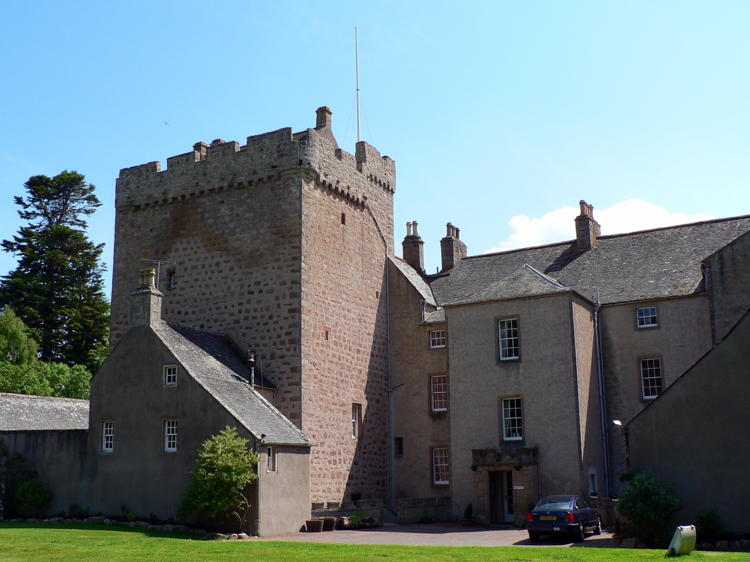
Dalcross Castle
Dalcross Castle is a restored 17th century tower house, about 1+1⁄2 miles (2.5 kilometres) southwest of Croy, Highland, Scotland, and about 7 miles (11...

Dalcross
Dalcross, in the original Gaelic, Dealgan Cros, later shortened to Dealgros, is a location in the Highland region of Scotland. It is on the Moray Firth...
Croy, Highland
Croy (Gaelic: Crothaigh) is a village between Inverness and Nairn, in the Highland council area in Scotland. The village looks over the Moray Firth and...

Culloden Moor railway station
Culloden Moor railway station served the village of Culloden, Highland, Scotland from 1898 to 1965 on the Inverness and Aviemore Direct Railway. ��2�...

Cawdor (Roman fort)
Cawdor (Roman Fort), located near the small village of Easter Galcantray (15 miles or 24 kilometres east of Inverness), is suspected of being one of the...

Tornagrain
Tornagrain (from the Scottish Gaelic Tòrr na Grèine meaning 'The Sunny Mound') is a hamlet and planned village in the Scottish Highlands, situated around...
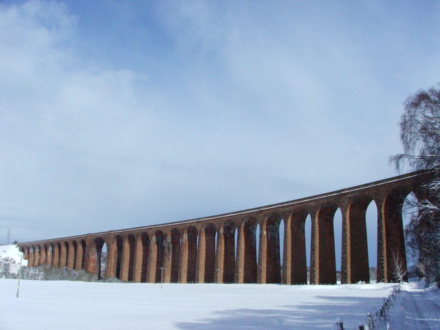
Culloden Viaduct
The Culloden Viaduct is a railway viaduct on the Highland Main Line, to the east of the city of Inverness, in the Highland council area of Scotland. It...
Kilravock Castle
Kilravock Castle (pronounced Kilrawk) is located near the village of Croy, between Inverness and Nairn, in the council area of Highland, Scotland. It was...
Nearby Amenities
Located within 500m of 57.500014,-4.030949Have you been to Cantraywood?
Leave your review of Cantraywood below (or comments, questions and feedback).