Kepple Moss

Downs, Moorland in Lanarkshire

Scotland

Kepple Moss

Field next to the B743 Rough grazing for the sheep.
Field next to the B743 Credit: wrobison

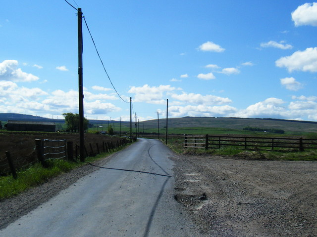
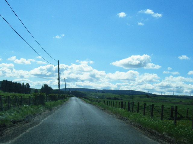
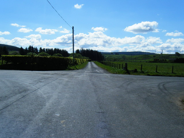
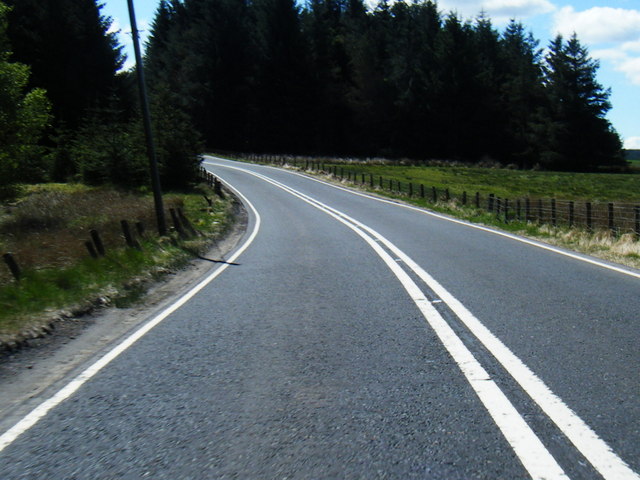
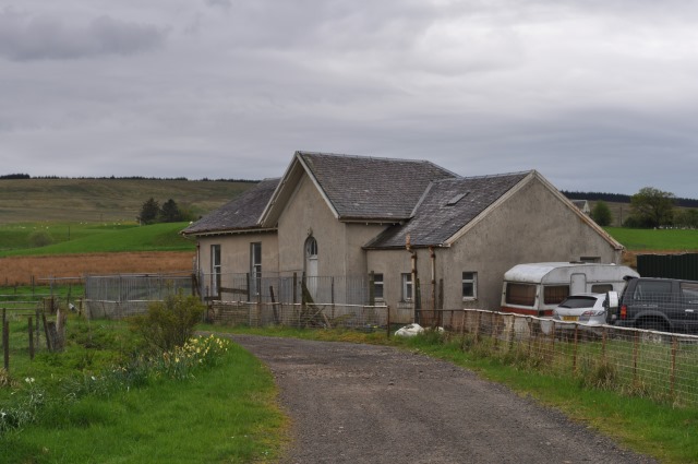
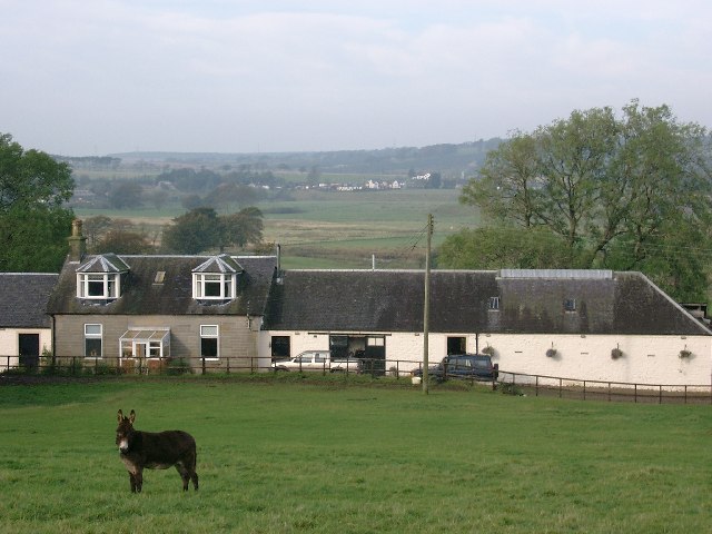
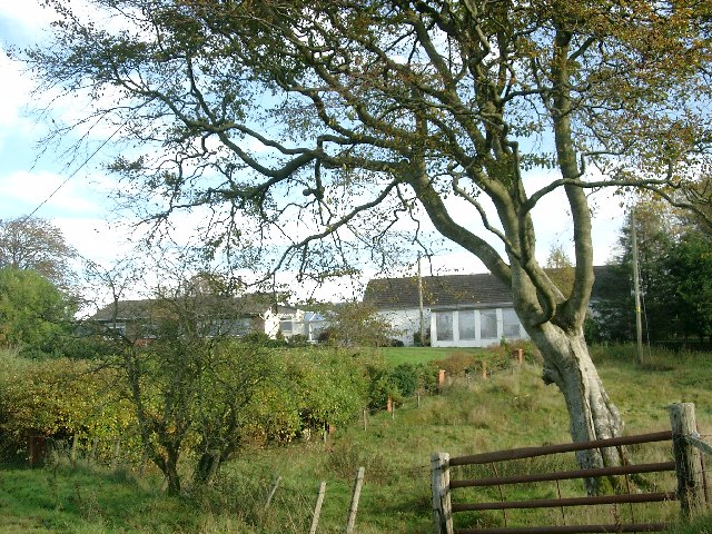
Kepple Moss is a remote and picturesque area located in Lanarkshire, Scotland. Situated in the southern part of the region, it is characterized by its diverse landscape of downs and moorland. The area is renowned for its natural beauty, attracting visitors seeking tranquility and scenic views.

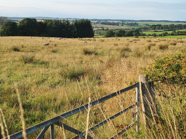
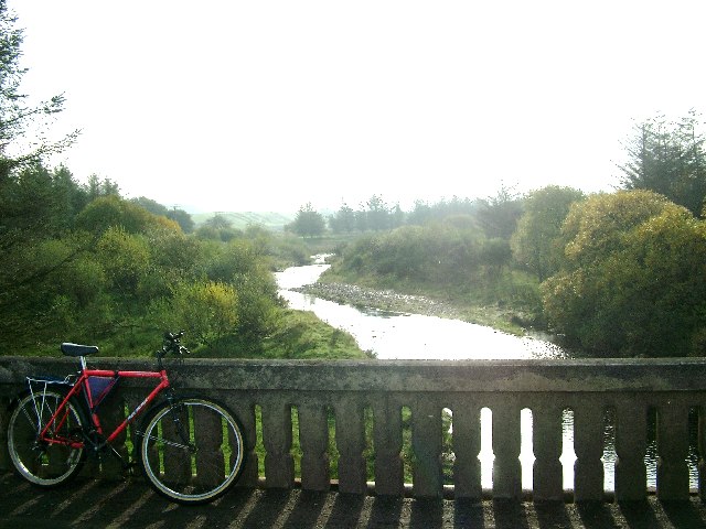
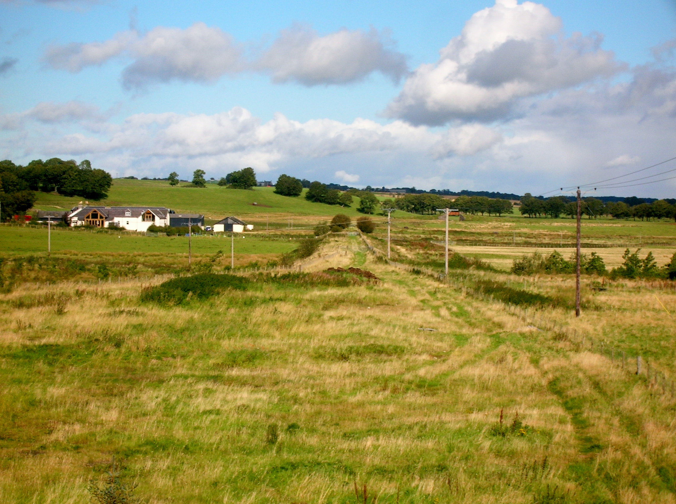
The downs of Kepple Moss are gently rolling hills that provide a stunning backdrop to the surrounding countryside. Covered in lush green grasses and dotted with vibrant wildflowers, they offer a serene setting for outdoor activities such as hiking, picnicking, and birdwatching. The views from the downs are breathtaking, with sweeping panoramas stretching across the vast expanse of the landscape.

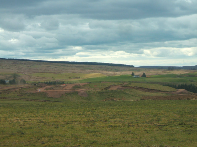
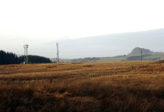
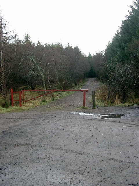
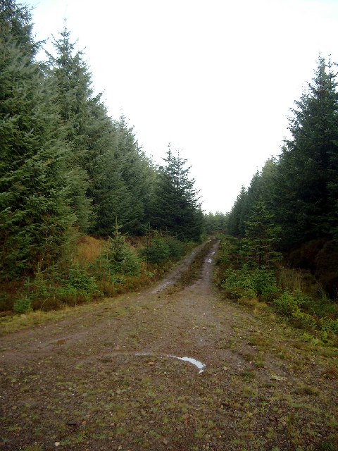
The moorland of Kepple Moss is a wild and rugged terrain, characterized by its expansive heather-covered hills. This unique ecosystem supports a variety of wildlife, including red grouse, deer, and birds of prey. The moorland is crisscrossed by a network of walking trails, allowing visitors to explore its hidden corners and take in the dramatic scenery.

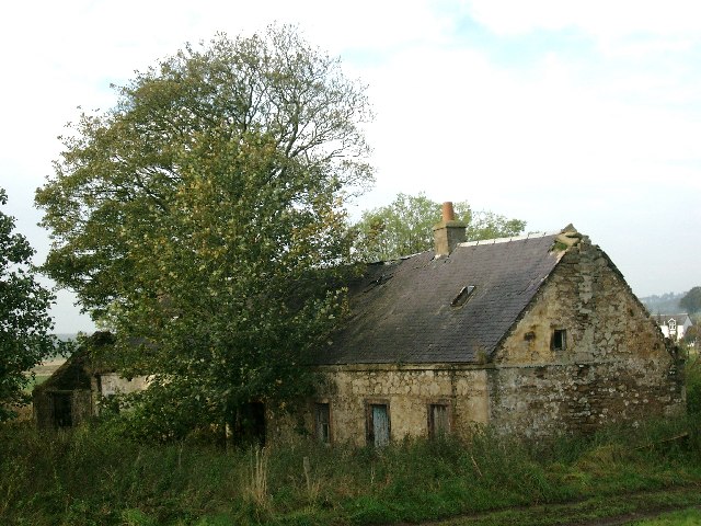
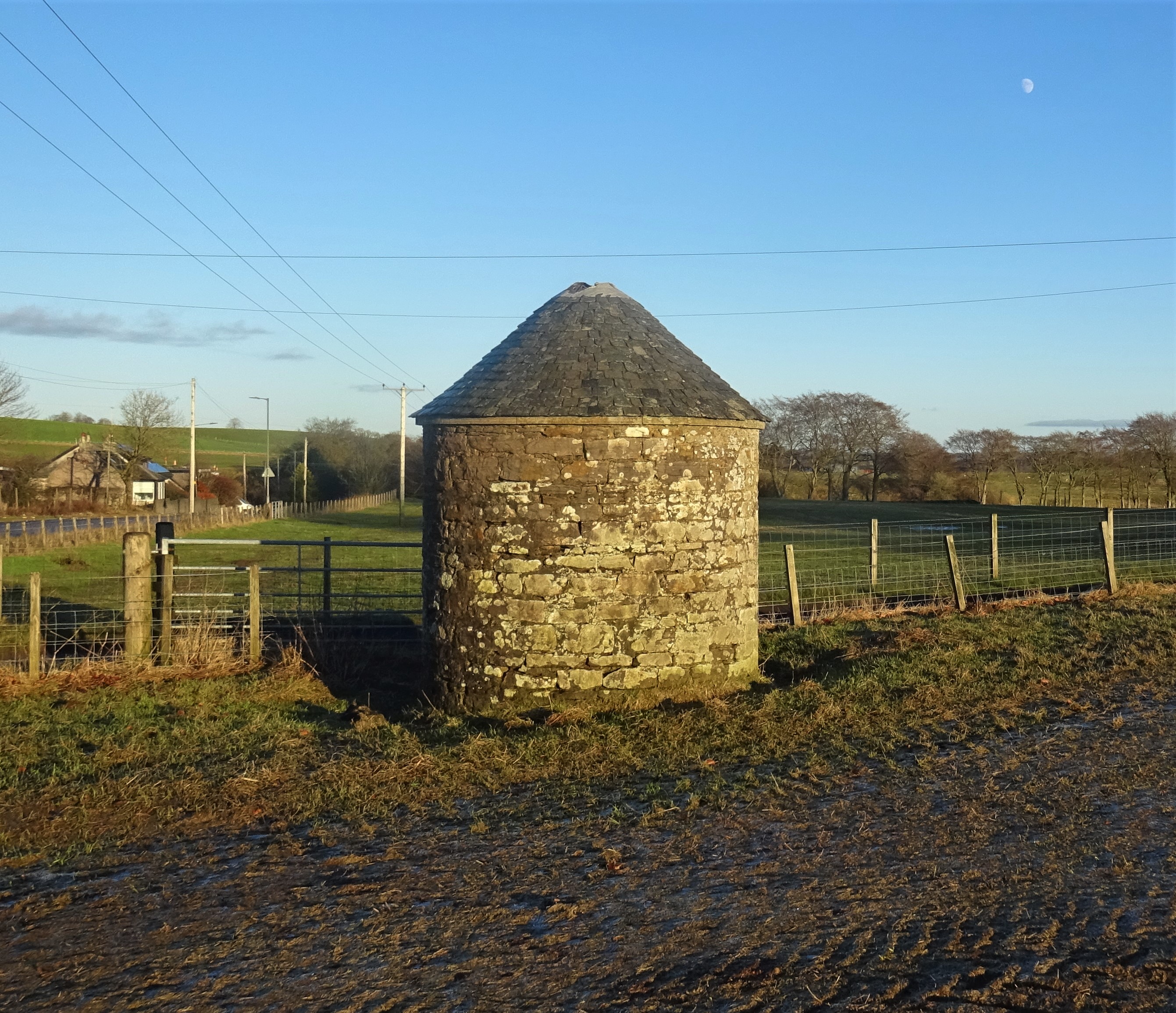
Kepple Moss is also home to several historic landmarks, including ancient burial mounds and stone circles, which provide a glimpse into the area's rich history. Visitors can immerse themselves in the past while exploring these archaeological sites, which are shrouded in mystery and intrigue.

In summary, Kepple Moss in Lanarkshire is a captivating destination that offers visitors a chance to escape the hustle and bustle of modern life. With its stunning downs, rugged moorland, and historic landmarks, it is a place where nature and history converge, providing a truly unforgettable experience.

If you have any feedback on the listing, please let us know in the comments section below.

Kepple Moss Images

Images are sourced within 2km of 55.614835/-4.1320315 or Grid Reference NS6537. Thanks to Geograph Open Source API. All images are credited.

Field next to the B743 Rough grazing for the sheep.
Field next to the B743
Rough grazing for the sheep.
Snabe Sand and Gravel Quarry Near Drumclog, operated by Tarmac <span class="nowrap"><a title="https://tarmac.com/locations/Snabe-Sand-and-Gravel-Quarry/" rel="nofollow ugc noopener" href="https://tarmac.com/locations/Snabe-Sand-and-Gravel-Quarry/">Link</a><img style="margin-left:2px;" alt="External link" title="External link - shift click to open in new window" src="https://s1.geograph.org.uk/img/external.png" width="10" height="10"/></span> .
Snabe Sand and Gravel Quarry
Near Drumclog, operated by Tarmac LinkExternal link .
Snabe sand and gravel quarry The Snabe sand and gravel quarry. The areas of water indicated on OS mapping appear to have been filled in, as evident from the foreground of this image. Extensive quantities of sand and gravel were deposited here at the end of the last glacial period as meltwater drained in a northerly direction.
Snabe sand and gravel quarry
The Snabe sand and gravel quarry. The areas of water indicated on OS mapping appear to have been filled in, as evident from the foreground of this image. Extensive quantities of sand and gravel were deposited here at the end of the last glacial period as meltwater drained in a northerly direction.
Drumclog Motocross Track Considered very demanding,the track has held rounds of the Scottish Motocross Championship and the British Quad Championship.
Drumclog Motocross Track
Considered very demanding,the track has held rounds of the Scottish Motocross Championship and the British Quad Championship.
B745 near Raimbow Fishery
B745 south of Holms
B745 south of Holms
B745 turns left here
B743 looking south
B743 looking south
Barnock School There has been a school on this site since at least the early 1800s - it is mentioned in the 1835 Statistical Account, although the present building is newer. The school has been closed for many years.
Barnock School
There has been a school on this site since at least the early 1800s - it is mentioned in the 1835 Statistical Account, although the present building is newer. The school has been closed for many years.
Quarry Conveyor This conveyor belt will carry stone from Bankend quarry to the larger Snabe quarry for processing. At this point it emerges from the culvert by which it passes under the B745.
Quarry Conveyor
This conveyor belt will carry stone from Bankend quarry to the larger Snabe quarry for processing. At this point it emerges from the culvert by which it passes under the B745.
Glengavel Water This bridge carries the B745 across the Glengavel Water. The metal pilings are to prevent erosion of the soft sandy soil.
Glengavel Water
This bridge carries the B745 across the Glengavel Water. The metal pilings are to prevent erosion of the soft sandy soil.
Derelict Cottage Ripe for renovation, with the Avon Water right behind.
Derelict Cottage
Ripe for renovation, with the Avon Water right behind.
Hillcroft Farm Complete with donkey!  This is not a "croft" in the Highland term.
Hillcroft Farm
Complete with donkey! This is not a "croft" in the Highland term.
Houses at North Halls
Bridge over Glengavel Water Glengavel Water meet the much smaller Avon Water, but somehow loses its name and becomes the Avon Water as it flows towards its meeting with the River Clyde
Bridge over Glengavel Water
Glengavel Water meet the much smaller Avon Water, but somehow loses its name and becomes the Avon Water as it flows towards its meeting with the River Clyde
Radio and phone masts at Dungavel
Entrance into the Dungavel and Side Hill forestries
Forestry cul-de-sac
Forestry cul-de-sac
Show me another place!

Kepple Moss is located at Grid Ref: NS6537 (Lat: 55.614835, Lng: -4.1320315)

Unitary Authority: South Lanarkshire

Police Authority: Lanarkshire

What 3 Words

///chaos.prominent.bolsters. Near Strathaven, South Lanarkshire

Related Wikis

Dungavel

Dungavel Immigration Removal Centre is an immigration detention facility in South Lanarkshire, Scotland, near the town of Strathaven that is also known...

Drumclog

Drumclog is a small village in South Lanarkshire, Parish of Avendale and Drumclog, Scotland. The habitation is situated on the A71, between Caldermill...

Drumclog railway station

Drumclog (NS 63889 38645) was a railway station on the Darvel and Strathaven Railway serving a rural area that included the village of Drumclog in South...

Ryeland railway station

Ryeland (NS 65545 40364) was a railway station on the Darvel and Strathaven Railway serving Caldermill and the surrounding rural area in South Lanarkshire...

Caldermill

Caldermill is a small settlement in South Lanarkshire, Scotland. Caldermill is 3 miles (5 km) south-west of Strathaven, and is the next settlement a driver...

Loch Gate

Loch Gate (NS 62389 37170), previously known as Loch Gait, was a freshwater loch, partly in the East Ayrshire Council Area and partly in South Lanarkshire...

Battle of Drumclog

The Battle of Drumclog was fought on 1 June 1679, between a group of Covenanters and the forces of John Graham of Claverhouse, at Drumclog, in South Lanarkshire...

Drumclog Moss

Drumclog Moss is a flat wilderness of broken bog and quagmire in Lanarkshire, Scotland. The Covenanters defeated Claverhouse's dragoons at the site in...

Nearby Amenities

Located within 500m of 55.614835,-4.1320315
Post Box
Ref: ML10 20
Source: survey
Lat/Long: 55.6116839/-4.1330426
Dungavel
Place: hamlet
Lat/Long: 55.6115875/-4.1319644
Power: pole
Lat/Long: 55.6142737/-4.1395709
Power: pole
Lat/Long: 55.6147868/-4.1393208
Power: pole
Lat/Long: 55.6155893/-4.1385124
Power: pole
Lat/Long: 55.6161965/-4.1378893
Power: pole
Lat/Long: 55.6168955/-4.1371788
Power: pole
Lat/Long: 55.6176062/-4.1364454
Power: pole
Lat/Long: 55.6183075/-4.1357306
Power: pole
Lat/Long: 55.6145302/-4.1383123
Power: pole
Lat/Long: 55.6142454/-4.1372017
Power: pole
Lat/Long: 55.6139454/-4.1360765
Power: pole
Lat/Long: 55.6132487/-4.1352306
Power: pole
Lat/Long: 55.6125555/-4.1343804
Power: pole
Lat/Long: 55.6118541/-4.1335115
Barrier: bollard
Lat/Long: 55.6111096/-4.1312619
The data included in this document is from www.openstreetmap.org. The data is made available under ODbL.

Have you been to Kepple Moss?

Leave your review of Kepple Moss below (or comments, questions and feedback).