Greenhead Plantation

Wood, Forest in Lanarkshire

Scotland

Greenhead Plantation

Minor road approaching Drumclog The picture looks toward Drumclog church (e.g. <a href="https://www.geograph.org.uk/photo/4728578">NS6338 : Drumclog Church boundary railings</a>) across the A71 along the minor road that arrives from the west.
Minor road approaching Drumclog Credit: Alec MacKinnon

Greenhead Plantation is a sprawling woodland located in Lanarkshire, Scotland. Covering an area of approximately 500 hectares, it is a place of immense natural beauty and ecological importance. The plantation is characterized by its dense forest, comprising a variety of tree species including oak, beech, pine, and birch.

The woodland is home to a diverse range of flora and fauna, making it a haven for nature enthusiasts and wildlife lovers. Visitors can expect to encounter a wide array of bird species, such as the great spotted woodpecker, tawny owl, and blackbird. Red squirrels, badgers, and roe deer can also be spotted within the plantation, adding to its charm and allure.

Greenhead Plantation offers numerous walking trails and paths, allowing visitors to explore its enchanting surroundings at their own pace. These trails are well-maintained and offer stunning views of the woodland, with opportunities to observe the changing seasons and witness the vibrant colors of autumn or the lush greenery of summer.

The plantation also serves as an important recreational area for the local community. It provides ample space for outdoor activities such as picnicking, jogging, and cycling, making it an ideal destination for families and individuals seeking a peaceful retreat amidst nature.

Overall, Greenhead Plantation in Lanarkshire stands as a testament to the beauty and significance of Scotland's woodlands. With its rich biodiversity and picturesque landscapes, it offers an immersive experience for all who venture into its serene embrace.

If you have any feedback on the listing, please let us know in the comments section below.

Greenhead Plantation Images

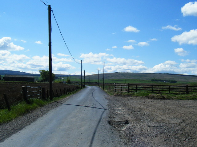
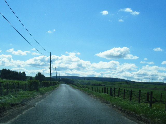
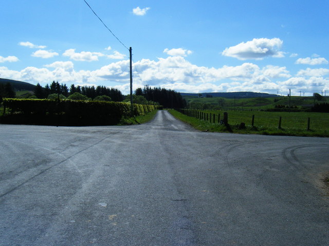
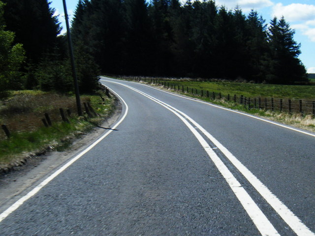
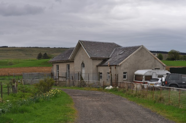
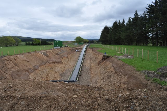
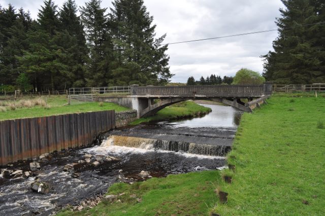
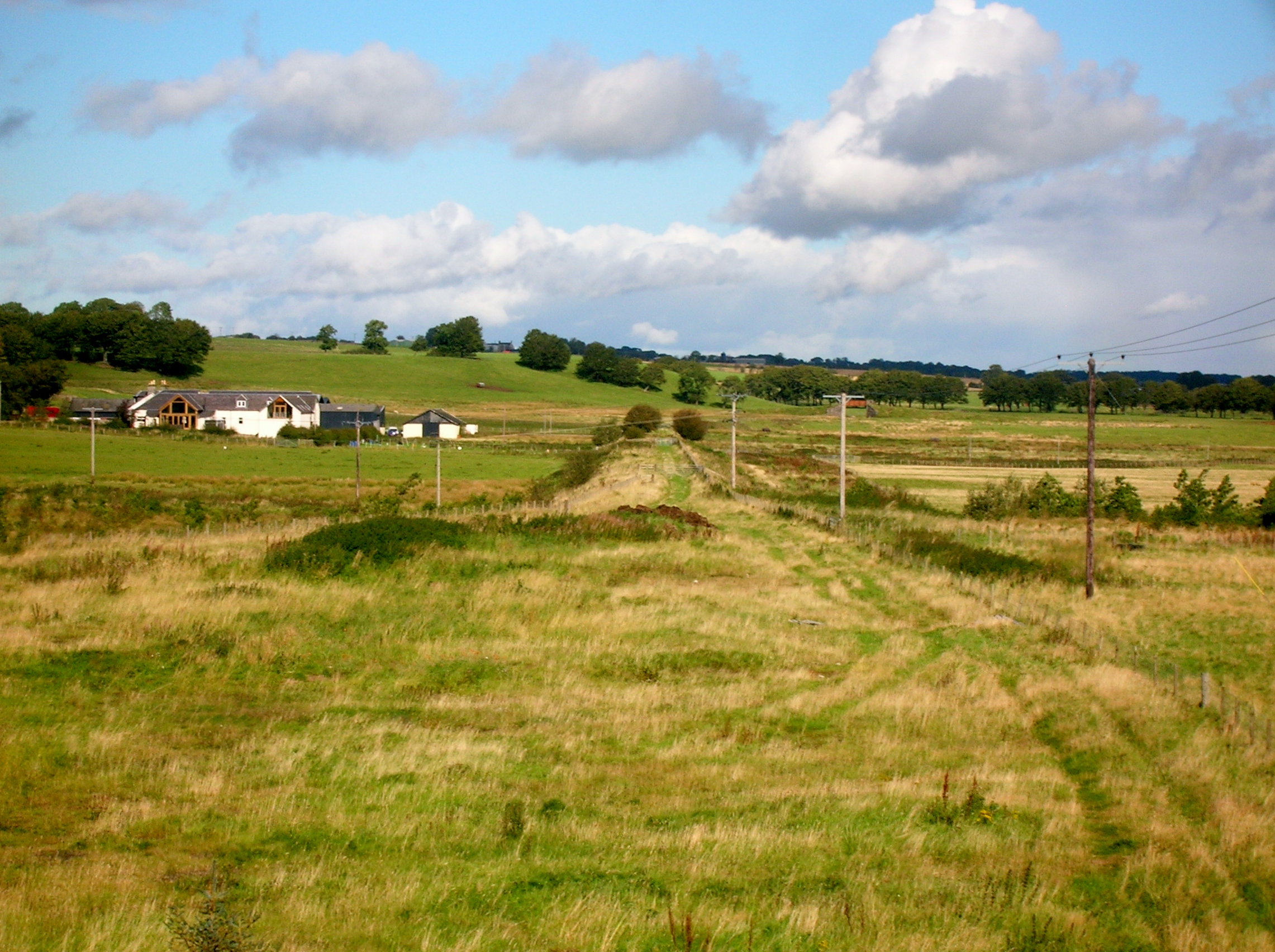
Images are sourced within 2km of 55.612103/-4.1392509 or Grid Reference NS6537. Thanks to Geograph Open Source API. All images are credited.

Minor road approaching Drumclog The picture looks toward Drumclog church (e.g. <a href="https://www.geograph.org.uk/photo/4728578">NS6338 : Drumclog Church boundary railings</a>) across the A71 along the minor road that arrives from the west.
Minor road approaching Drumclog
The picture looks toward Drumclog church (e.g. NS6338 : Drumclog Church boundary railings) across the A71 along the minor road that arrives from the west.
Field next to the B743 Rough grazing for the sheep.
Field next to the B743
Rough grazing for the sheep.
Snabe Sand and Gravel Quarry Near Drumclog, operated by Tarmac <span class="nowrap"><a title="https://tarmac.com/locations/Snabe-Sand-and-Gravel-Quarry/" rel="nofollow ugc noopener" href="https://tarmac.com/locations/Snabe-Sand-and-Gravel-Quarry/">Link</a><img style="margin-left:2px;" alt="External link" title="External link - shift click to open in new window" src="https://s1.geograph.org.uk/img/external.png" width="10" height="10"/></span> .
Snabe Sand and Gravel Quarry
Near Drumclog, operated by Tarmac LinkExternal link .
Snabe sand and gravel quarry The Snabe sand and gravel quarry. The areas of water indicated on OS mapping appear to have been filled in, as evident from the foreground of this image. Extensive quantities of sand and gravel were deposited here at the end of the last glacial period as meltwater drained in a northerly direction.
Snabe sand and gravel quarry
The Snabe sand and gravel quarry. The areas of water indicated on OS mapping appear to have been filled in, as evident from the foreground of this image. Extensive quantities of sand and gravel were deposited here at the end of the last glacial period as meltwater drained in a northerly direction.
Drumclog Motocross Track Considered very demanding,the track has held rounds of the Scottish Motocross Championship and the British Quad Championship.
Drumclog Motocross Track
Considered very demanding,the track has held rounds of the Scottish Motocross Championship and the British Quad Championship.
Drumclog: near site of station, 1997 View northward, with the residual embankment of the ex-Caledonian Railway, Lanark (to right) - Muirkirk (to left), line on the left, the station being about 200 yards off frame leftwards. The station closed from 11/9/39, but the line survived, for passengers and freight, until 5/10/64.
Drumclog: near site of station, 1997
View northward, with the residual embankment of the ex-Caledonian Railway, Lanark (to right) - Muirkirk (to left), line on the left, the station being about 200 yards off frame leftwards. The station closed from 11/9/39, but the line survived, for passengers and freight, until 5/10/64.
Railway bridge piers on the B745 at Drumclog
B745 near Raimbow Fishery
B745 south of Holms
B745 south of Holms
B745 turns left here
B743 looking south
B743 looking south
Barnock School There has been a school on this site since at least the early 1800s - it is mentioned in the 1835 Statistical Account, although the present building is newer. The school has been closed for many years.
Barnock School
There has been a school on this site since at least the early 1800s - it is mentioned in the 1835 Statistical Account, although the present building is newer. The school has been closed for many years.
Quarry Conveyor This conveyor belt will carry stone from Bankend quarry to the larger Snabe quarry for processing. At this point it emerges from the culvert by which it passes under the B745.
Quarry Conveyor
This conveyor belt will carry stone from Bankend quarry to the larger Snabe quarry for processing. At this point it emerges from the culvert by which it passes under the B745.
Glengavel Water This bridge carries the B745 across the Glengavel Water. The metal pilings are to prevent erosion of the soft sandy soil.
Glengavel Water
This bridge carries the B745 across the Glengavel Water. The metal pilings are to prevent erosion of the soft sandy soil.
Drumclog Memorial Kirk
Drumclog Memorial Kirk Clock Tower
Drumclog Memorial Kirk
Show me another place!

Greenhead Plantation is located at Grid Ref: NS6537 (Lat: 55.612103, Lng: -4.1392509)

Unitary Authority: South Lanarkshire

Police Authority: Lanarkshire

What 3 Words

///single.fights.headstone. Near Strathaven, South Lanarkshire

Related Wikis

Dungavel

Dungavel Immigration Removal Centre is an immigration detention facility in South Lanarkshire, Scotland, near the town of Strathaven that is also known...

Drumclog railway station

Drumclog (NS 63889 38645) was a railway station on the Darvel and Strathaven Railway serving a rural area that included the village of Drumclog in South...

Drumclog

Drumclog is a small village in South Lanarkshire, Parish of Avendale and Drumclog, Scotland. The habitation is situated on the A71, between Caldermill...

Ryeland railway station

Ryeland (NS 65545 40364) was a railway station on the Darvel and Strathaven Railway serving Caldermill and the surrounding rural area in South Lanarkshire...

Nearby Amenities

Located within 500m of 55.612103,-4.1392509
Post Box
Ref: ML10 20
Source: survey
Lat/Long: 55.6116839/-4.1330426
Dungavel
Place: hamlet
Lat/Long: 55.6115875/-4.1319644
Power: pole
Lat/Long: 55.6087671/-4.1427235
Power: pole
Lat/Long: 55.6094356/-4.142288
Power: pole
Lat/Long: 55.6101006/-4.1418671
Power: pole
Lat/Long: 55.6106808/-4.1414941
Power: pole
Lat/Long: 55.6112607/-4.1411311
Power: pole
Lat/Long: 55.6119189/-4.140719
Power: pole
Lat/Long: 55.6128381/-4.140267
Power: pole
Lat/Long: 55.6135629/-4.1399105
Power: pole
Lat/Long: 55.6142737/-4.1395709
Power: pole
Lat/Long: 55.6147868/-4.1393208
Power: pole
Lat/Long: 55.6155893/-4.1385124
Power: pole
Lat/Long: 55.6161965/-4.1378893
Power: pole
Lat/Long: 55.6088954/-4.1437778
Power: pole
Lat/Long: 55.6090025/-4.1446676
Power: pole
Lat/Long: 55.6111998/-4.140471
Power: pole
Lat/Long: 55.6111092/-4.1395417
Power: pole
Lat/Long: 55.6110068/-4.138429
Power: pole
Lat/Long: 55.6131157/-4.1419004
Power: pole
Lat/Long: 55.6133193/-4.1431277
Power: pole
Lat/Long: 55.61353/-4.1443967
Power: pole
Lat/Long: 55.6145302/-4.1383123
Power: pole
Lat/Long: 55.6142454/-4.1372017
Power: pole
Lat/Long: 55.6139454/-4.1360765
Power: pole
Lat/Long: 55.6132487/-4.1352306
Power: pole
Lat/Long: 55.6125555/-4.1343804
Power: pole
Lat/Long: 55.6118541/-4.1335115
The data included in this document is from www.openstreetmap.org. The data is made available under ODbL.

Have you been to Greenhead Plantation?

Leave your review of Greenhead Plantation below (or comments, questions and feedback).