Southern Moor
Downs, Moorland in Devon Torridge
England
Southern Moor
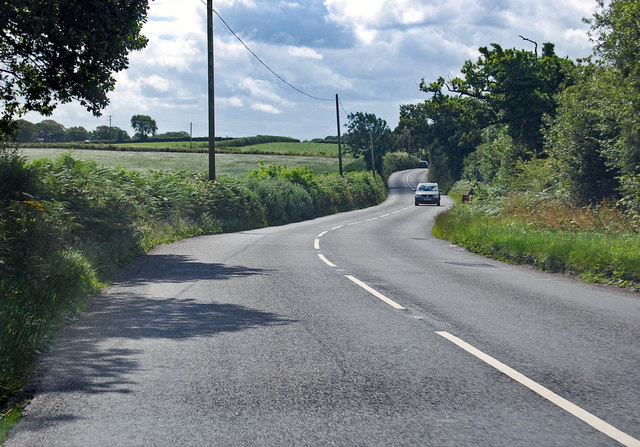
Southern Moor is a picturesque area located in the county of Devon, England. Situated on the southern edge of Dartmoor National Park, it is known for its stunning natural beauty and diverse landscapes. The area primarily consists of downs and moorland, offering visitors the opportunity to immerse themselves in the tranquility and charm of the countryside.
The downs in Southern Moor are characterized by their rolling hills and open grasslands. These vast expanses provide breathtaking views of the surrounding countryside, with their vibrant green hues contrasting against the clear blue skies. The downs are a haven for many species of wildlife, including birds, butterflies, and small mammals, making it a popular spot for nature enthusiasts and birdwatchers alike.
In addition to its downs, Southern Moor is also home to sprawling moorland. This rugged terrain is defined by its wide, open spaces, dotted with granite tors and ancient stone circles. The moorland offers visitors the chance to explore its vast expanse, with numerous walking trails and paths crisscrossing the area. It is a place where visitors can lose themselves in the beauty of nature and experience a sense of freedom and tranquility.
Southern Moor is not only a haven for nature lovers but also offers a range of outdoor activities. Visitors can indulge in hiking, cycling, or horse riding, taking advantage of the area's varied landscapes. The moorland and downs are also popular spots for picnicking and photography, providing countless opportunities to capture the beauty of the countryside.
Overall, Southern Moor is a stunning destination that showcases the natural splendor of Devon. With its downs, moorland, and abundance of wildlife, it offers a unique and unforgettable experience for anyone seeking to be immersed in the beauty of the English countryside.
If you have any feedback on the listing, please let us know in the comments section below.
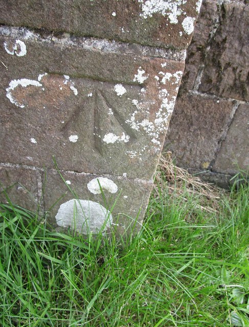
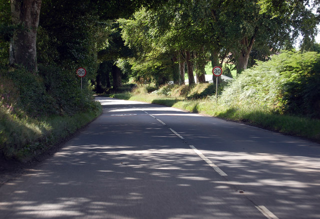
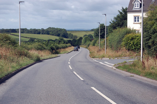
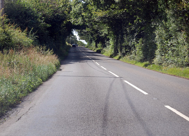
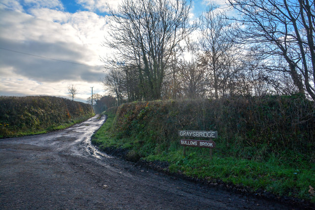
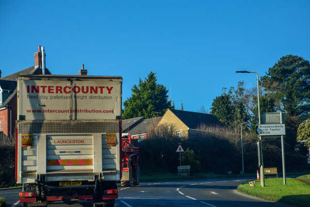
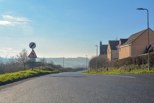
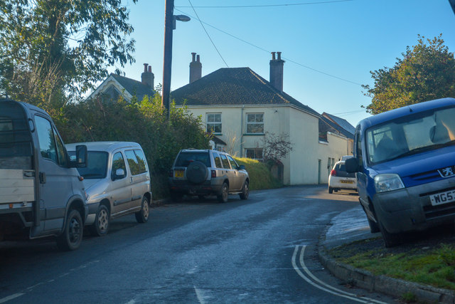
Southern Moor Images
Images are sourced within 2km of 50.846022/-3.9316266 or Grid Reference SS6406. Thanks to Geograph Open Source API. All images are credited.
Southern Moor is located at Grid Ref: SS6406 (Lat: 50.846022, Lng: -3.9316266)
Administrative County: Devon
District: Torridge
Police Authority: Devon and Cornwall
What 3 Words
///twee.sapping.haunts. Near Winkleigh, Devon
Nearby Locations
Related Wikis

Winkleigh
Winkleigh is a civil parish and small village in Devon, England. It is part of the local government area of Torridge District Council. The population of...

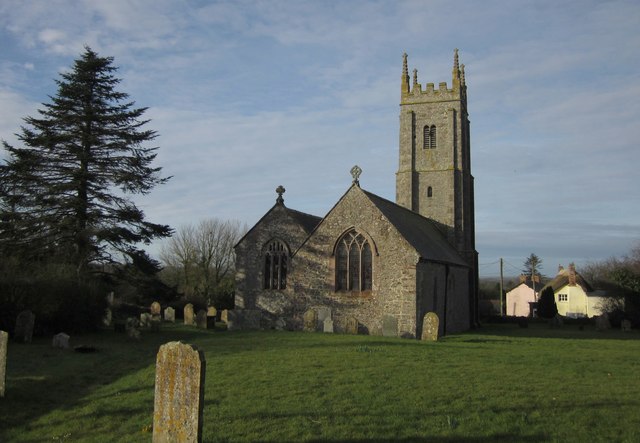
Church of All Saints, Winkleigh
The Church of All Saints is a Church of England parish church in Winkleigh, Devon. The church is a Grade I listed building. == History == The earliest...

Bondleigh
Bondleigh is a village and civil parish in the West Devon district of Devon, England, on the River Taw, north of North Tawton. According to the 2011 census...
Broadwoodkelly
Broadwoodkelly is a village and civil parish in the West Devon district of Devon, England. According to the 2001 census it had a population of 218. The...

RAF Winkleigh
Royal Air Force Winkleigh, or more simply RAF Winkleigh, is a former Royal Air Force satellite station located near to Winkleigh, Devon and south of Barnstaple...

Brushford, Devon
Brushford is a village and civil parish in the Mid Devon district of Devon in England. According to the 2001 census it had a population of 59. The village...

Wembworthy
Wembworthy is a small village, parish and former manor in Mid-Devon, England. It is situated in the valley of the River Taw, 8 miles north-east of the...

Honeychurch, Devon
Honeychurch is a village and former civil parish now in the parish of Sampford Courtenay, in the West Devon district of the English county of Devon. It...
Have you been to Southern Moor?
Leave your review of Southern Moor below (or comments, questions and feedback).