Cubbox Isle

Downs, Moorland in Kirkcudbrightshire

Scotland

Cubbox Isle

Fire Station, New Galloway The fire station on the south side of the A712 seen across a lawned area.
Fire Station, New Galloway Credit: Trevor Littlewood

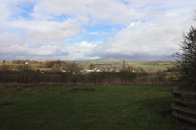
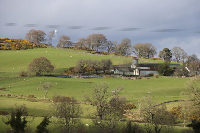
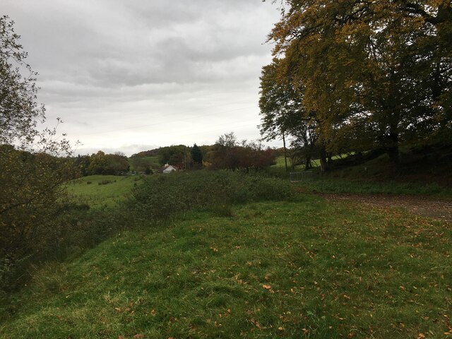
Cubbox Isle, located in Kirkcudbrightshire, is a picturesque piece of land known for its unique blend of downs and moorland landscapes. Situated on the southern coast of Scotland, this area is renowned for its stunning natural beauty and diverse ecosystems.

The downs of Cubbox Isle are characterized by gently rolling hills covered in lush grasses and scattered with wildflowers, creating a vibrant and colorful landscape. These grassy downs provide a habitat for various species of birds, including skylarks and meadow pipits, which can be heard chirping melodiously in the air.

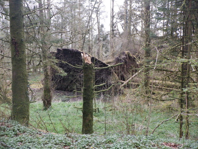
Moving towards the interior of the island, the land transitions into moorland, where heather dominates the scenery. The purple hues of the heather create a striking contrast against the green backdrop of the downs. Moorland species such as red grouse and curlews can be spotted roaming freely in this rugged terrain.

Cubbox Isle is also home to several small streams that meander through the landscape, adding to its charm. These streams serve as a water source for the diverse flora and fauna that inhabit the island. The combination of downs, moorland, and streams creates a unique and dynamic ecosystem that supports a variety of plant and animal life.

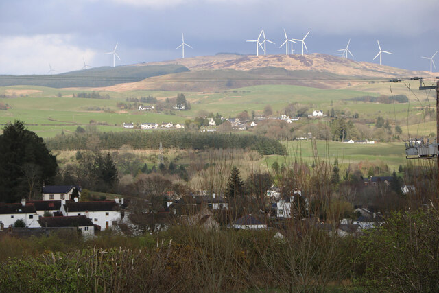
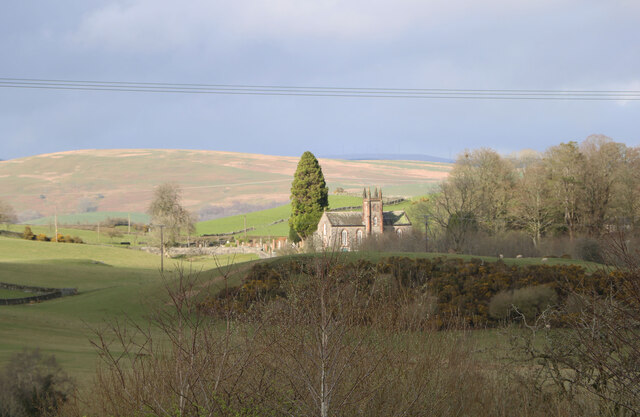
Visitors to Cubbox Isle can enjoy scenic walks, birdwatching, and photography in this idyllic setting. The natural beauty of this area makes it a popular destination for nature enthusiasts and those seeking tranquility amidst stunning surroundings.

If you have any feedback on the listing, please let us know in the comments section below.
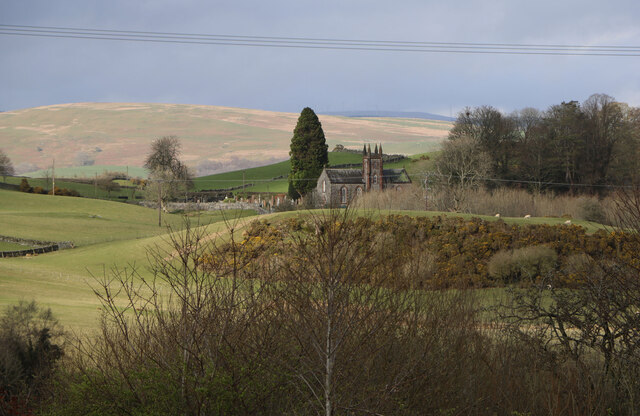
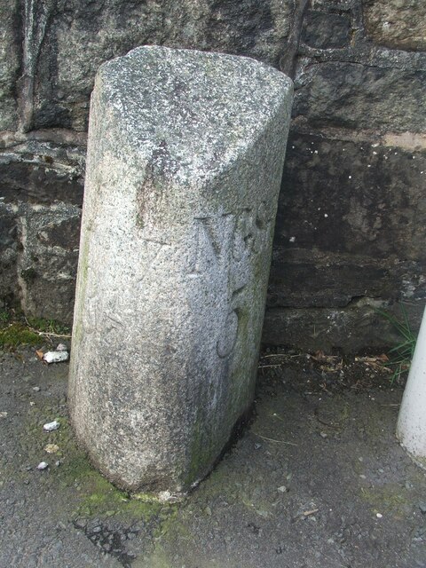
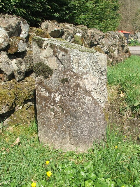
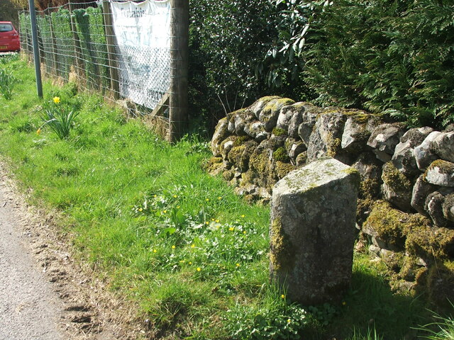
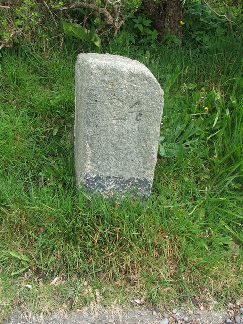
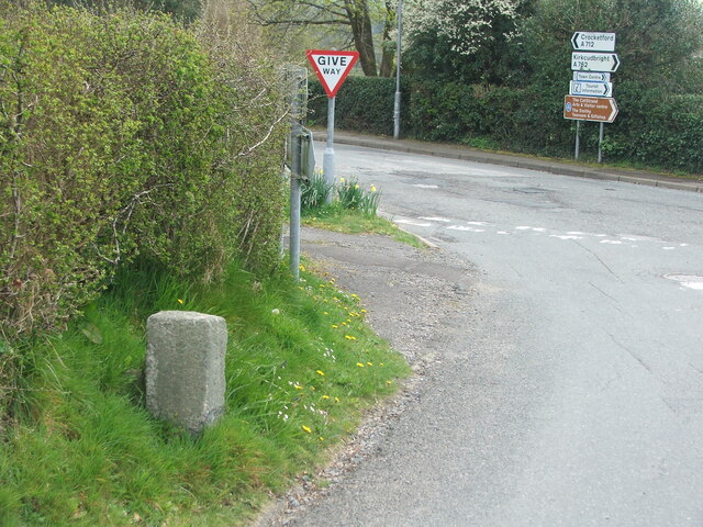
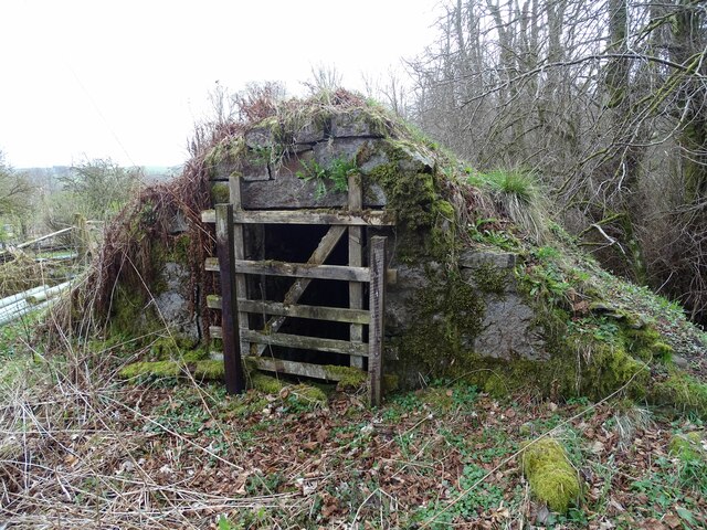
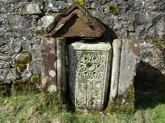
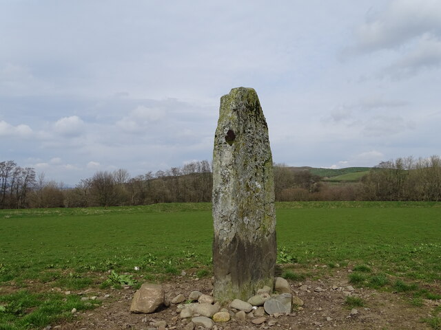
Cubbox Isle Images

Images are sourced within 2km of 55.072536/-4.1299807 or Grid Reference NX6477. Thanks to Geograph Open Source API. All images are credited.

Fire Station, New Galloway The fire station on the south side of the A712 seen across a lawned area.
Fire Station, New Galloway
The fire station on the south side of the A712 seen across a lawned area.
New Galloway Episcopalian Church Located on the main route into the village from Ken Bridge.
New Galloway Episcopalian Church
Located on the main route into the village from Ken Bridge.
Farmland at New Galloway Viewed from the Old Edinburgh Road.
Farmland at New Galloway
Viewed from the Old Edinburgh Road.
Kells Parish Church, New Galloway Viewed from the Old Edinburgh Road.
Kells Parish Church, New Galloway
Viewed from the Old Edinburgh Road.
Viewfield Farm, New Galloway Viewed from the Old Edinburgh Road.
Viewfield Farm, New Galloway
Viewed from the Old Edinburgh Road.
New Galloway Viewed from the Old Edinburgh Road. With a view to a Windfarm.
New Galloway
Viewed from the Old Edinburgh Road. With a view to a Windfarm.
Kells Parish Church in Sunlight Viewed from the Old Edinburgh Road.
Kells Parish Church in Sunlight
Viewed from the Old Edinburgh Road.
Farmer and Sheepdogs, New Galloway On the Old Edinburgh Road.
Farmer and Sheepdogs, New Galloway
On the Old Edinburgh Road.
Old milestone When railways were constructed across the hills of Kirkcudbright and Wigtonshire the stations were often several miles from the nearest large settlement.   The station for New Galloway was 5 miles to the south along the west bank of Loch Ken and on to Mossdale.    Milestones of this shape are found on several of the roads leading to stations.  From New Galloway it is 5 miles to the station.   This stone is in the village centre near The Smithy Tea Room.
Old milestone
When railways were constructed across the hills of Kirkcudbright and Wigtonshire the stations were often several miles from the nearest large settlement. The station for New Galloway was 5 miles to the south along the west bank of Loch Ken and on to Mossdale. Milestones of this shape are found on several of the roads leading to stations. From New Galloway it is 5 miles to the station. This stone is in the village centre near The Smithy Tea Room.
Old milestone The next 'railway' milestone south of New Galloway is at the entrance to Todstone Cottage.  N G/ 1/ Dalry/4¼ on the left face.
Old milestone
The next 'railway' milestone south of New Galloway is at the entrance to Todstone Cottage. N G/ 1/ Dalry/4¼ on the left face.
Old milestone The right hand face is in the shade on this sunny day but beneath the lichens the inscription is N.G.St.n/4.  The property was surrounded by this high fencing and several dogs were barking.
Old milestone
The right hand face is in the shade on this sunny day but beneath the lichens the inscription is N.G.St.n/4. The property was surrounded by this high fencing and several dogs were barking.
Old milestone This milestone in the centre of New Galloway on the A712 indicates 24 miles from Dumfries.   It is another 18 miles to Newton Stewart.
Old milestone
This milestone in the centre of New Galloway on the A712 indicates 24 miles from Dumfries. It is another 18 miles to Newton Stewart.
Old milestone The crossroads in New Galloway, with a road north following the Water of Ken for 3 or 4 miles to Earlstoun Loch.   Crocketford is to the east on the way to Dumfries.
Old milestone
The crossroads in New Galloway, with a road north following the Water of Ken for 3 or 4 miles to Earlstoun Loch. Crocketford is to the east on the way to Dumfries.
Kenmure Castle An old ice-house by Kenmure Castle.
Kenmure Castle
An old ice-house by Kenmure Castle.
Kenmure Castle Part of an incised cross-slab set against the wall of the walled garden at Kenmure Castle.
Kenmure Castle
Part of an incised cross-slab set against the wall of the walled garden at Kenmure Castle.
Dalarran Standing Stone The standing stone of Dalarran.
Dalarran Standing Stone
The standing stone of Dalarran.
Windthrow near New Galloway By Sentry Knowe.
Windthrow near New Galloway
By Sentry Knowe.
Farmland near Garplefoot
Show me another place!

Cubbox Isle is located at Grid Ref: NX6477 (Lat: 55.072536, Lng: -4.1299807)

Unitary Authority: Dumfries and Galloway

Police Authority: Dumfries and Galloway

What 3 Words

///appoints.cobbles.packet. Near Castle Douglas, Dumfries & Galloway

Related Wikis

New Galloway

New Galloway (Scottish Gaelic: Gall-Ghàidhealaibh Nuadh) is a town in the historical county of Kirkcudbrightshire in Dumfries and Galloway. It lies on...

New Galloway Town Hall

The New Galloway Town Hall is a municipal building in Dumfries and Galloway, Scotland, situated on the town's high street. A tolbooth has existed on the...

Ken Bridge

The Ken Bridge is a road bridge about 0.8 kilometres (0.5 mi) north east of New Galloway in Dumfries and Galloway, Scotland, which carries the A712 road...

Kenmure Castle

Kenmure Castle is a fortified house or castle in The Glenkens, 1 mile (1.6 km) south of the town of New Galloway in Kirkcudbrightshire, Galloway, south...

Nearby Amenities

Located within 500m of 55.072536,-4.1299807
Power: pole
Lat/Long: 55.0766896/-4.1296617
Power: pole
Lat/Long: 55.0764459/-4.1291727
Power: pole
Lat/Long: 55.0758911/-4.1283184
Power: pole
Lat/Long: 55.0755493/-4.1270767
Power: pole
Lat/Long: 55.0752523/-4.1259603
Power: pole
Lat/Long: 55.0749285/-4.1247286
Power: pole
Lat/Long: 55.0740658/-4.1244947
Power: pole
Lat/Long: 55.075338/-4.1238449
Power: pole
Lat/Long: 55.0731695/-4.1242596
Power: pole
Lat/Long: 55.0723658/-4.1240423
Power: pole
Lat/Long: 55.0714964/-4.1238038
Power: pole
Lat/Long: 55.0709399/-4.123674
Power: pole
Lat/Long: 55.0712337/-4.1231276
Power: pole
Lat/Long: 55.070429/-4.1235028
Power: pole
Lat/Long: 55.0715042/-4.1250497
Power: pole
Lat/Long: 55.0713145/-4.1263308
Power: pole
Lat/Long: 55.0709118/-4.1268916
Power: pole
Lat/Long: 55.0746594/-4.1267535
Power: pole
Lat/Long: 55.0752955/-4.1360119
Power: pole
Lat/Long: 55.0747883/-4.1361139
Power: pole
Lat/Long: 55.0739928/-4.1370444
Power: pole
Lat/Long: 55.0732813/-4.136798
Power: pole
Lat/Long: 55.0725649/-4.1365452
Power: pole
Lat/Long: 55.0718606/-4.1363051
Power: pole
Lat/Long: 55.0712074/-4.1360863
Power: pole
Lat/Long: 55.0704557/-4.1356062
The data included in this document is from www.openstreetmap.org. The data is made available under ODbL.

Have you been to Cubbox Isle?

Leave your review of Cubbox Isle below (or comments, questions and feedback).