Eastern Long Moor

Wood, Forest in Devon Torridge

England

Eastern Long Moor
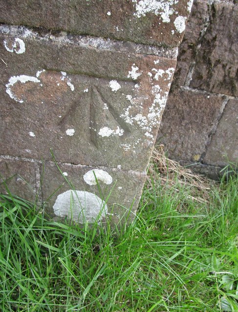
Ordnance Survey Cut Mark This OS cut mark can be found on the north face of All Saints Church. It marks a point 171.231m above mean sea level.
Ordnance Survey Cut Mark Credit: Adrian Dust

The requested URL returned error: 429 Too Many Requests

If you have any feedback on the listing, please let us know in the comments section below.

Eastern Long Moor Images

Images are sourced within 2km of 50.844603/-3.9287696 or Grid Reference SS6406. Thanks to Geograph Open Source API. All images are credited.

Ordnance Survey Cut Mark This OS cut mark can be found on the north face of All Saints Church. It marks a point 171.231m above mean sea level.
Ordnance Survey Cut Mark
This OS cut mark can be found on the north face of All Saints Church. It marks a point 171.231m above mean sea level.
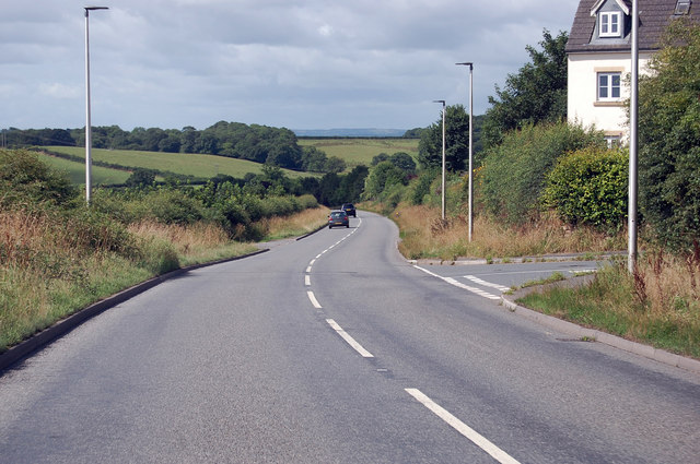
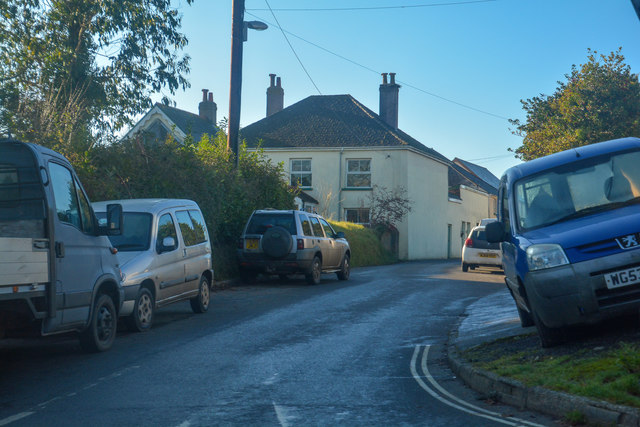
A3124 junction with Elms Meadow, Winkleigh Elms Meadow is a new development of houses.
A3124 junction with Elms Meadow, Winkleigh
Elms Meadow is a new development of houses.
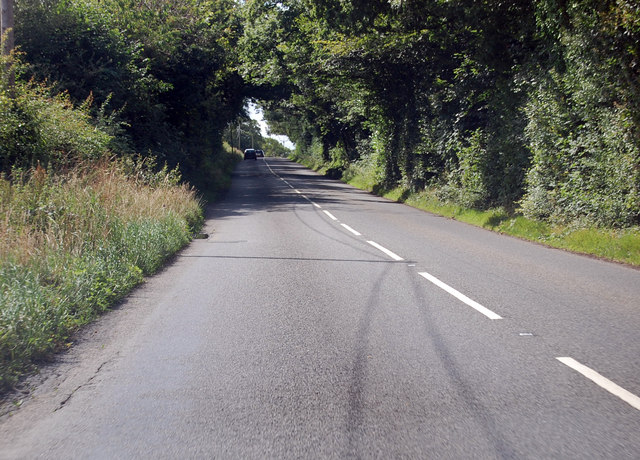
A3124 runs past Summers Moor Heading south through a pleasant wooded area.
A3124 runs past Summers Moor
Heading south through a pleasant wooded area.
A3124 towards Coulson Cross
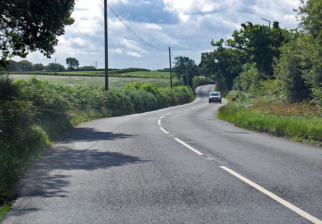
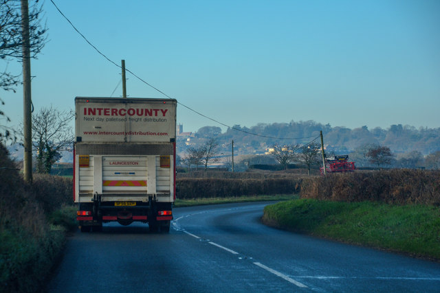
Winkleigh : The B3220 Looking along the B3220 through the Winkleigh parish.
Winkleigh : The B3220
Looking along the B3220 through the Winkleigh parish.
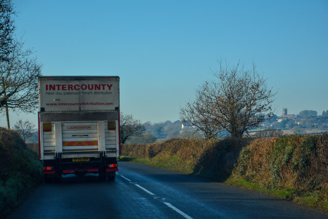
Winkleigh : The B3220 Looking along the B3220 through the Winkleigh parish.
Winkleigh : The B3220
Looking along the B3220 through the Winkleigh parish.
Winkleigh : The B3220 Looking along the B3220 through the Winkleigh parish.
Winkleigh : The B3220
Looking along the B3220 through the Winkleigh parish.
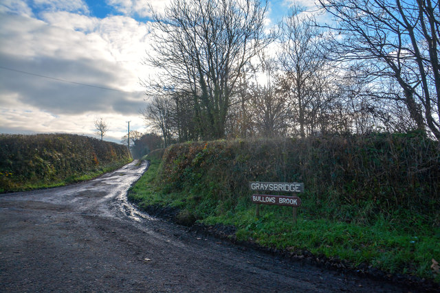
Winkleigh : Track A track heading to Graysbridge off the B3220.
Winkleigh : Track
A track heading to Graysbridge off the B3220.
Winkleigh : The B3220 The road heads into Winkleigh.
Winkleigh : The B3220
The road heads into Winkleigh.
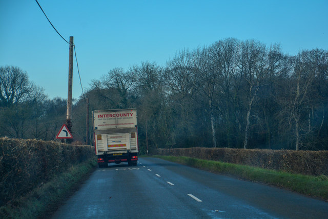
Winkleigh : The A3124 Looking along the A3214.
Winkleigh : The A3124
Looking along the A3214.
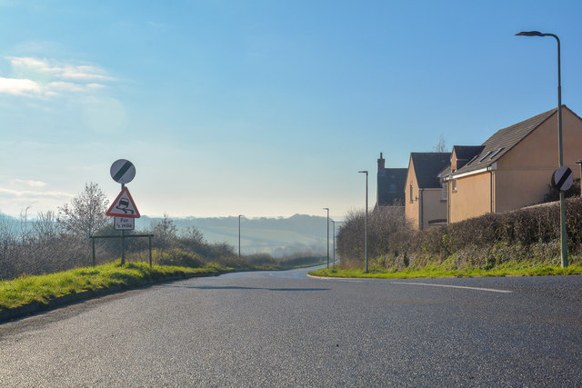
Winkleigh : Exeter Road Exeter Road off the A3124.
Winkleigh : Exeter Road
Exeter Road off the A3124.
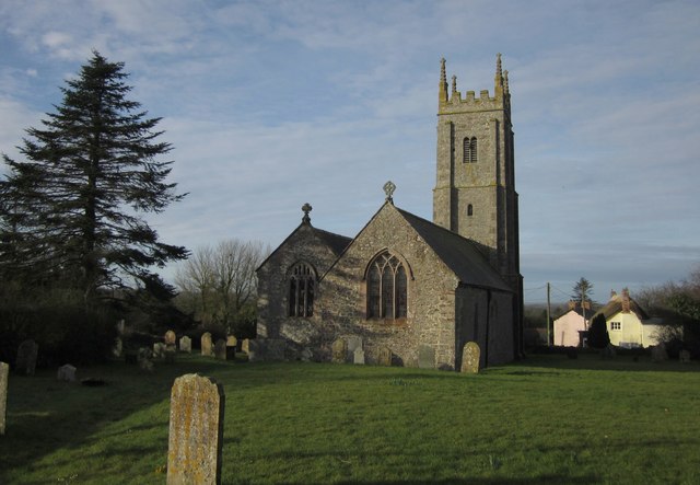
All Saints' Church, Winkleigh
All Saints' Church, Winkleigh Interior, looking east.
All Saints' Church, Winkleigh
Interior, looking east.
All Saints' Church, Winkleigh Stained-glass window at the East end of the North aisle.
All Saints' Church, Winkleigh
Stained-glass window at the East end of the North aisle.
Winkleigh: war memorial and parish church
The King's Arms, Winkleigh
Fields at Bude Hill
Fields at Bude Hill
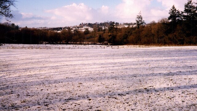
Winkleigh: near Coulson Looking north-north-west towards Winkleigh village
Winkleigh: near Coulson
Looking north-north-west towards Winkleigh village
Show me another place!

Eastern Long Moor is located at Grid Ref: SS6406 (Lat: 50.844603, Lng: -3.9287696)

Administrative County: Devon

District: Torridge

Police Authority: Devon and Cornwall

What 3 Words

///lawyer.height.stem. Near Winkleigh, Devon

Related Wikis

Winkleigh

Winkleigh is a civil parish and small village in Devon, England. It is part of the local government area of Torridge District Council. The population of...

Church of All Saints, Winkleigh

The Church of All Saints is a Church of England parish church in Winkleigh, Devon. The church is a Grade I listed building. == History == The earliest...

Bondleigh

Bondleigh is a village and civil parish in the West Devon district of Devon, England, on the River Taw, north of North Tawton. According to the 2011 census...

Broadwoodkelly

Broadwoodkelly is a village and civil parish in the West Devon district of Devon, England. According to the 2001 census it had a population of 218. The...

Nearby Amenities

Located within 500m of 50.844603,-3.9287696
The data included in this document is from www.openstreetmap.org. The data is made available under ODbL.

Have you been to Eastern Long Moor?

Leave your review of Eastern Long Moor below (or comments, questions and feedback).