Winney's Down
Downs, Moorland in Devon West Devon
England
Winney's Down
Winney's Down is a picturesque area located in Devon, England, known for its stunning natural beauty and diverse ecosystem. Situated in the heart of the county, Winney's Down is part of the larger expanse of the Devon Downs, a collection of rolling hills, moorland, and grasslands.
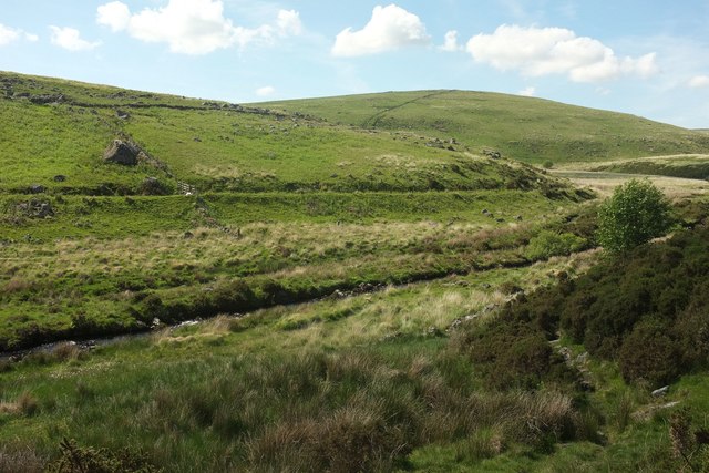
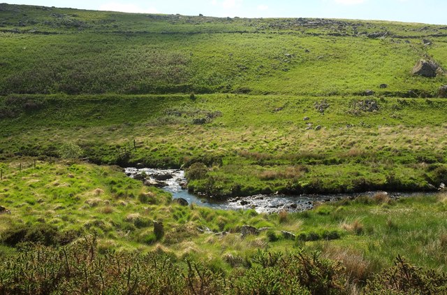
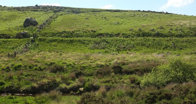
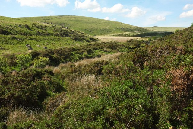
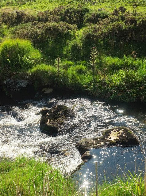
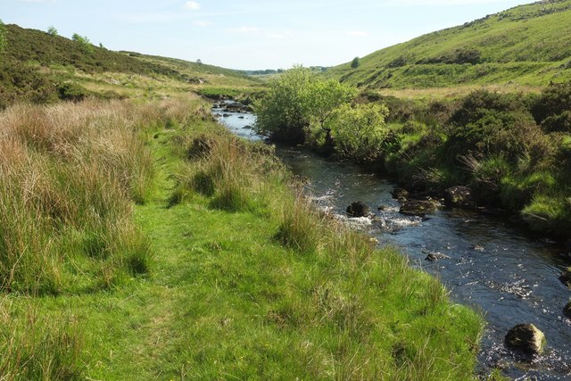
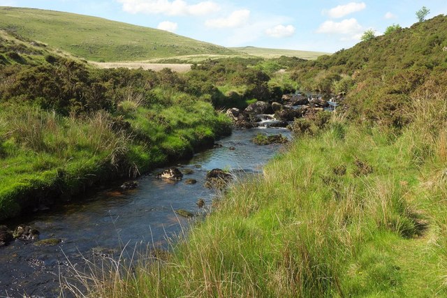
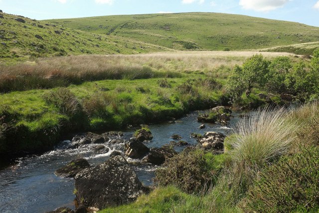
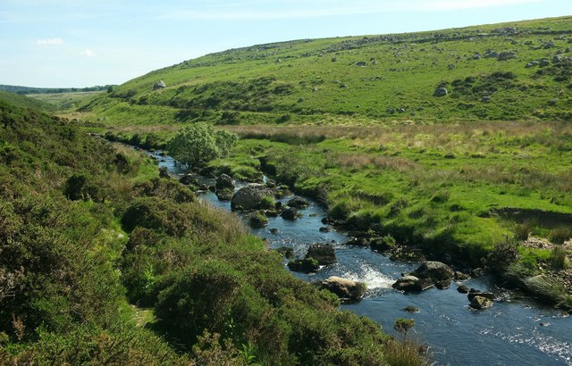
Covering an area of approximately 500 hectares, Winney's Down is characterized by its gently sloping terrain and abundant wildlife. The landscape is rich in biodiversity, with a variety of flowering plants, ferns, and grasses adorning the meadows. The area is also home to numerous species of birds, including skylarks, lapwings, and buzzards, making it a haven for birdwatchers and nature enthusiasts.
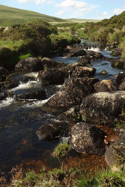
The moorland of Winney's Down is particularly noteworthy, with its vast expanses of heather and gorse, interspersed with rocky outcrops and ancient stone walls. Visitors can enjoy leisurely walks and hikes along the well-maintained trails, immersing themselves in the tranquil surroundings and enjoying panoramic views of the surrounding countryside.
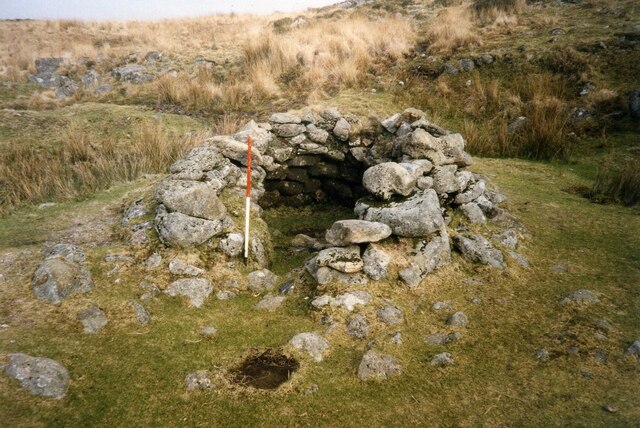
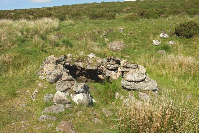
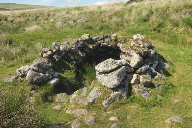
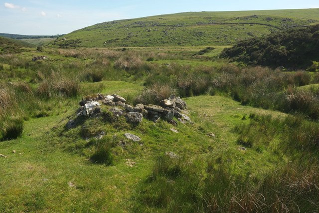
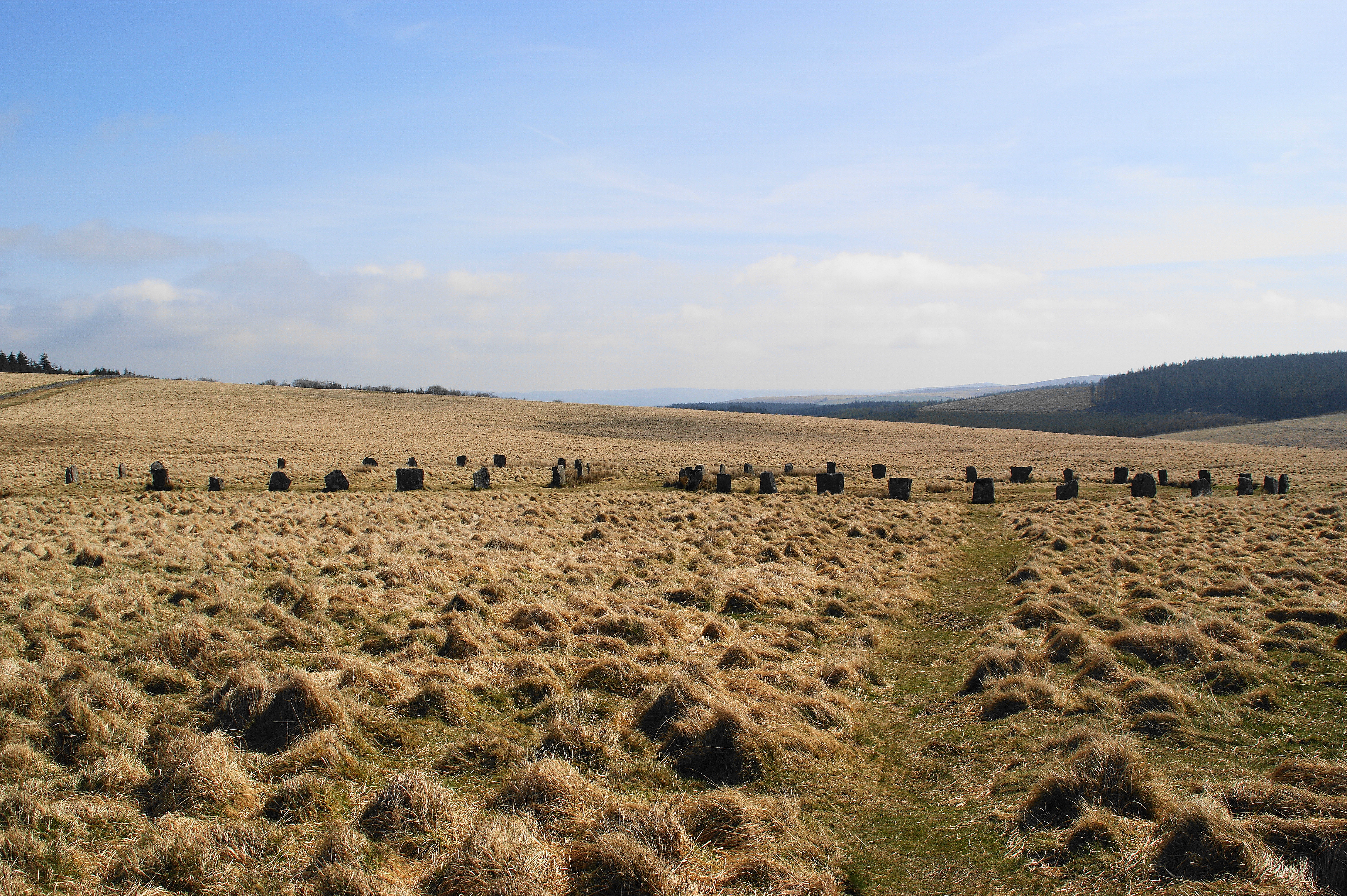
In addition to its natural beauty, Winney's Down is also steeped in history. The area is dotted with archaeological remains, such as Bronze Age burial mounds and remnants of ancient settlements. These historical features offer a glimpse into the rich cultural heritage of the region, attracting history enthusiasts and archaeology buffs.
Overall, Winney's Down in Devon is a captivating destination that combines scenic beauty, abundant wildlife, and a fascinating history, making it an ideal location for outdoor enthusiasts and those seeking a peaceful retreat in the English countryside.
If you have any feedback on the listing, please let us know in the comments section below.
Winney's Down Images
Images are sourced within 2km of 50.62355/-3.9464719 or Grid Reference SX6282. Thanks to Geograph Open Source API. All images are credited.


Winney's Down is located at Grid Ref: SX6282 (Lat: 50.62355, Lng: -3.9464719)
Administrative County: Devon
District: West Devon
Police Authority: Devon and Cornwall
What 3 Words
///abolish.juror.clinking. Near Princetown, Devon
Nearby Locations
Related Wikis
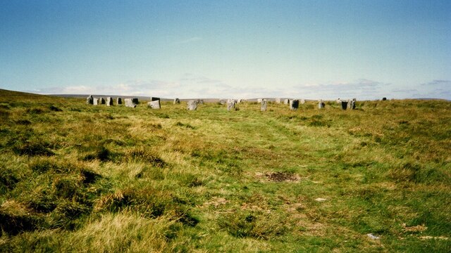
Grey Wethers
Grey Wethers consists of a pair of prehistoric stone circles, situated on grassy plateau to the north of Postbridge, Dartmoor, in the United Kingdom....

Dartmoor Forest
Dartmoor Forest is a civil parish in Devon, England. It was formed in 1987 by the splitting of the former parish of Lydford. It covers about 56,000 acres...

Hangingstone Hill
Hangingstone Hill is a hill in North Dartmoor in the southwest English county of Devon. At 603 metres high, it is the joint third highest peak in Devon...

Cranmere Pool
Cranmere Pool is a small depression within a peat bog in the northern half of Dartmoor, Devon, England, at grid reference SX604858. It lies 560 metres...
Nearby Amenities
Located within 500m of 50.62355,-3.9464719Have you been to Winney's Down?
Leave your review of Winney's Down below (or comments, questions and feedback).