Hanger Down
Downs, Moorland in Devon South Hams
England
Hanger Down
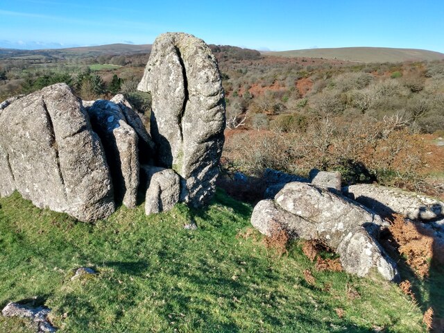
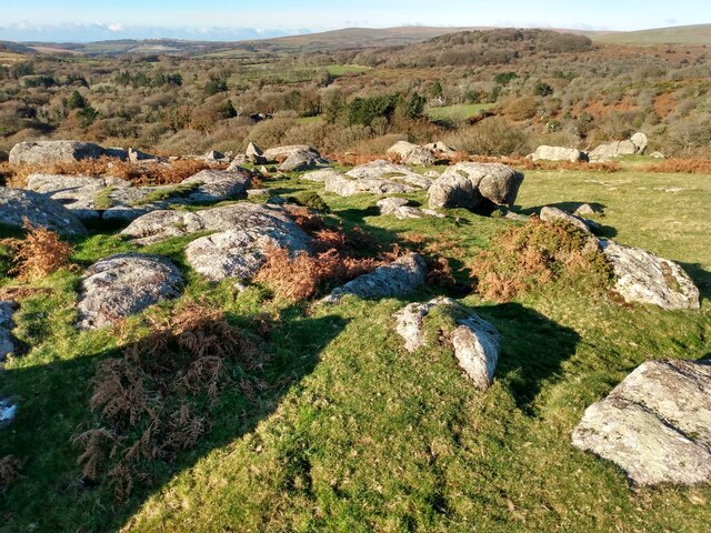
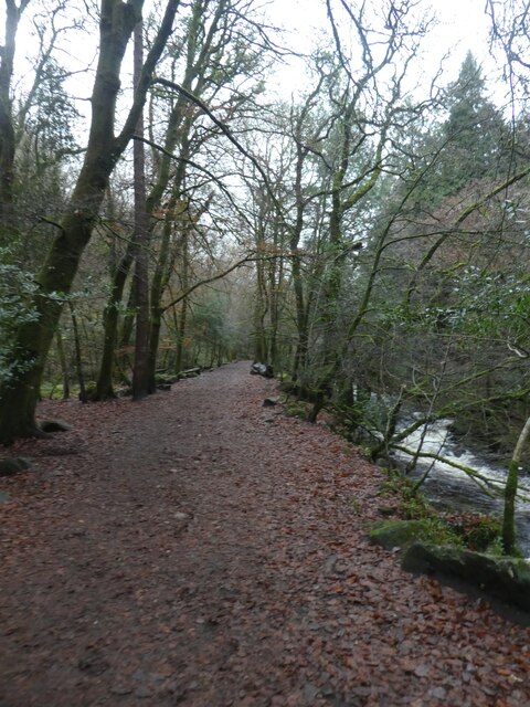
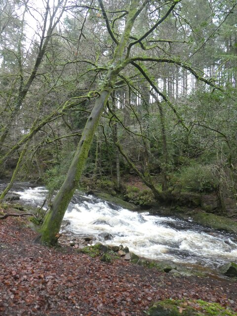
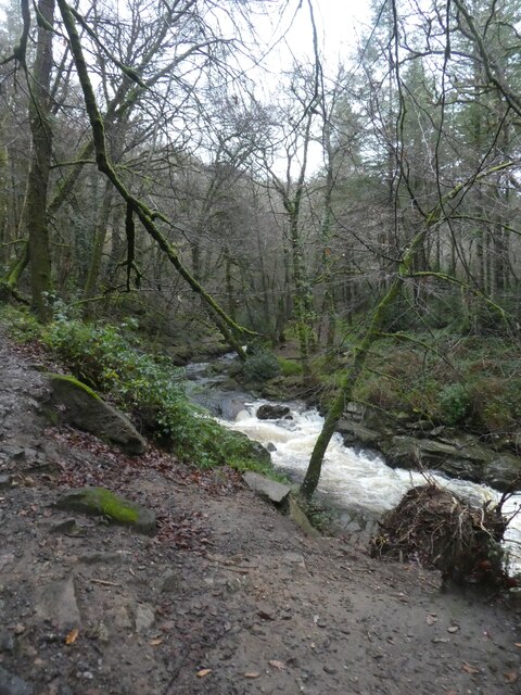
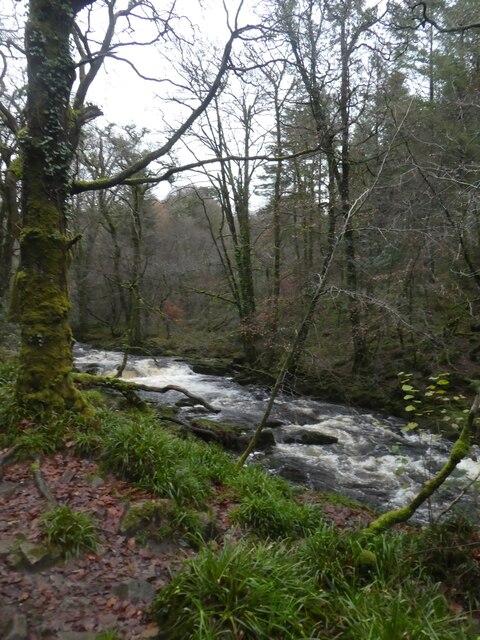
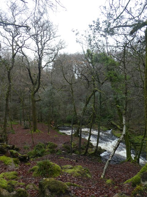
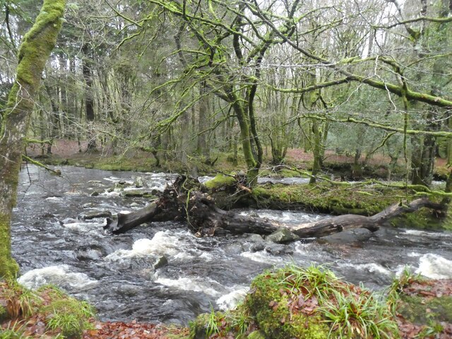
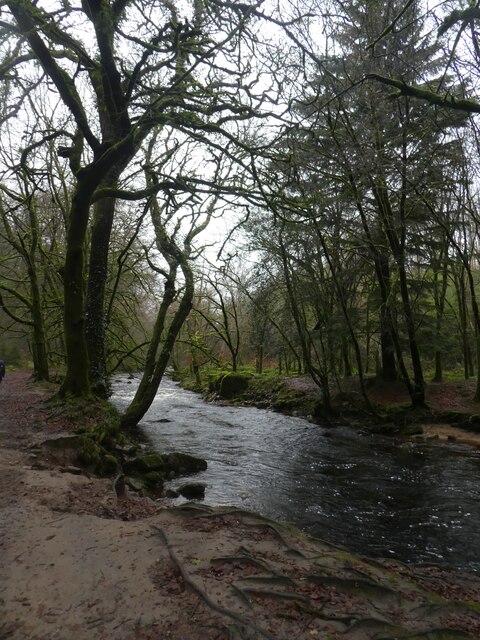
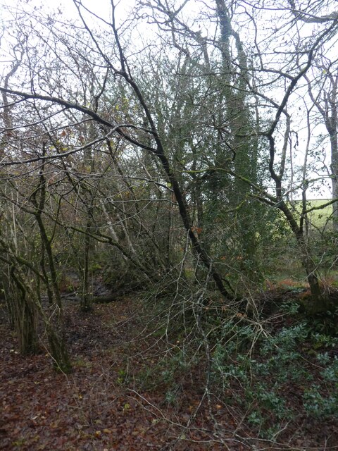
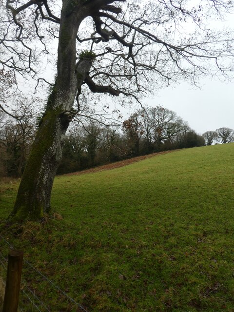
Hanger Down is a picturesque area located in Devon, England. It is known for its stunning landscapes, consisting of downs, moorland, and rolling hills. The region is situated in the southern part of the county, near the town of Dartmoor.
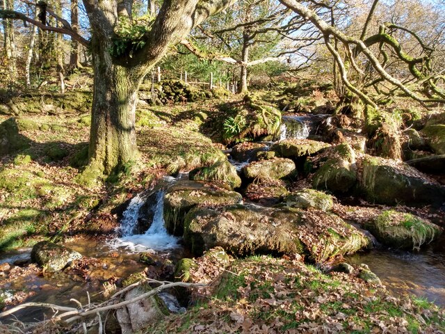
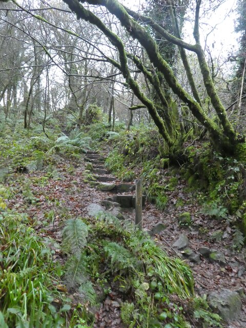
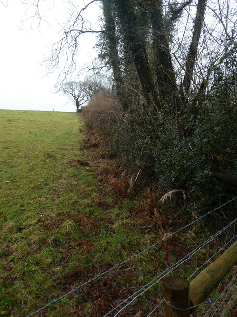
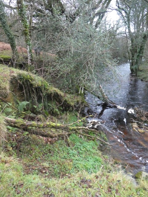
The area is famous for its natural beauty and is a popular destination for outdoor enthusiasts. Hanger Down offers a variety of activities for visitors to enjoy, such as hiking, cycling, and birdwatching. The rolling hills provide breathtaking views of the surrounding countryside, making it a haven for nature lovers.
Hanger Down is also home to a diverse range of wildlife, with several rare and endangered species residing in the area. Visitors may spot native birds, including the Dartford Warbler and the Cirl Bunting, as well as various species of butterflies and wildflowers.
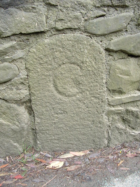
The region boasts a rich history, with ancient settlements and archaeological sites scattered throughout the landscape. Ruins of prehistoric stone circles and burial chambers can be found, offering a glimpse into the area's past.
In terms of amenities, Hanger Down offers a few quaint villages and small towns nearby, providing visitors with charming accommodation options, local pubs, and restaurants serving traditional Devonshire cuisine. The area is also well-connected, with easy access to major roads and public transportation, making it accessible for tourists from all over.
Overall, Hanger Down is a tranquil and scenic destination, offering visitors a chance to immerse themselves in the natural beauty and history of Devon.
If you have any feedback on the listing, please let us know in the comments section below.
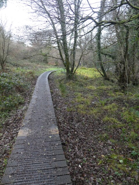
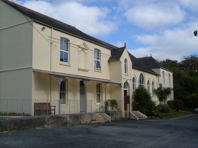
Hanger Down Images
Images are sourced within 2km of 50.413369/-3.9384619 or Grid Reference SX6258. Thanks to Geograph Open Source API. All images are credited.

Hanger Down is located at Grid Ref: SX6258 (Lat: 50.413369, Lng: -3.9384619)
Administrative County: Devon
District: South Hams
Police Authority: Devon and Cornwall
What 3 Words
///diet.tonality.brave. Near Ivybridge, Devon
Nearby Locations
Related Wikis

Harford, Devon
Harford is a hamlet and civil parish located approximately 2 miles (3.2 km) north of the town of Ivybridge in the county of Devon, England. The parish...

Fardel Manor
Fardel is a historic manor in the parish of Cornwood, in the South Hams district of Devon. It was successively the seat of the Raleigh and Hele families...

Cornwood
Cornwood is a village and civil parish in the South Hams in Devon, England. The parish has a population of 988. The village is part of the electoral ward...

Dendles Wood
Dendles Wood is an area of protected oak-beech woodland located on the southern edge of Dartmoor, in the English county of Devon. Forming part of the Dartmoor...

Stowford House
Stowford House is a former manor house in the South Hams district of Devon. It is close to the village of Harford. The building was designated a Grade...

Ivybridge Community College
Ivybridge Community College is a state-funded secondary school and academy in Ivybridge, Devon, England. Located on the southern slopes of Dartmoor, it...
Ivybridge Priory
Ivybridge Priory or St. Austin's Priory was a monastic house in Devon, England. From 1932 it was a priory of the Order of Augustinian Recollects. They...

Yondertown
Yondertown is a mining hamlet located in an Area of Great Landscape Value on the edge of Dartmoor National Park in the English county of Devon. The community...
Have you been to Hanger Down?
Leave your review of Hanger Down below (or comments, questions and feedback).