Sander's Park
Downs, Moorland in Devon West Devon
England
Sander's Park
Sander's Park is a picturesque natural reserve located in Devon, England. Situated amidst the breathtaking landscapes of the Devon Downs and Moorland, this park offers visitors a unique opportunity to immerse themselves in the region's stunning natural beauty.
Covering an expansive area of approximately 500 acres, Sander's Park is home to a diverse range of flora and fauna, making it a haven for nature enthusiasts and wildlife lovers alike. The park boasts rolling hills, lush green meadows, and dense woodlands, providing a varied habitat for numerous species of plants and animals.
Visitors to Sander's Park can enjoy a multitude of activities, including hiking, cycling, and horseback riding. The park offers well-maintained trails that wind through its different terrains, allowing visitors to explore its stunning surroundings at their own pace. Additionally, there are picnic areas strategically located throughout the park, providing the perfect spot for a leisurely lunch while enjoying the serene atmosphere.
Sander's Park also features several viewpoints, offering panoramic vistas of the surrounding moorland and Downs. These viewpoints are especially popular among photographers and artists, who are eager to capture the park's natural splendor.
Furthermore, the park is committed to conservation and environmental preservation. It is managed by a dedicated team of professionals who work tirelessly to protect the park's fragile ecosystem and maintain its natural balance.
In conclusion, Sander's Park in Devon is a must-visit destination for those seeking an escape into nature's embrace. With its stunning landscapes, diverse wildlife, and range of activities, the park offers a memorable experience for visitors of all ages and interests.
If you have any feedback on the listing, please let us know in the comments section below.
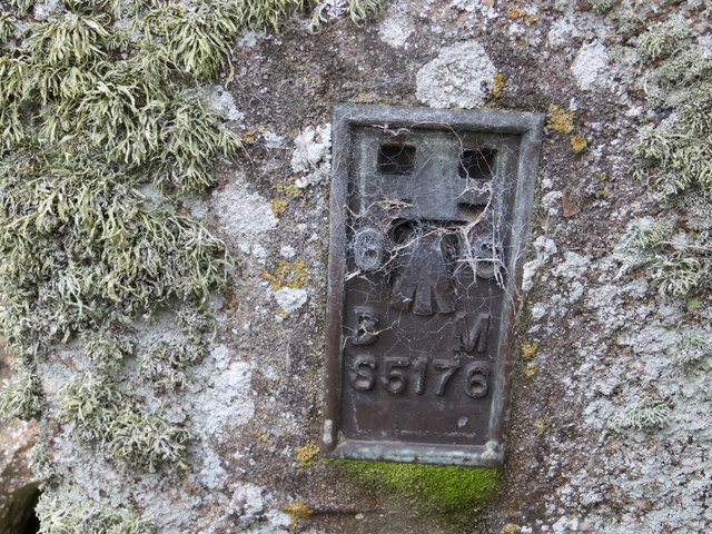
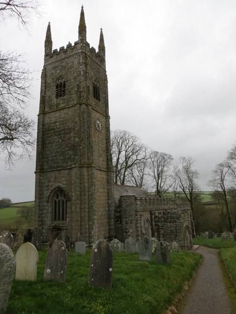
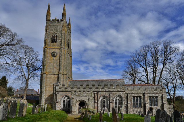
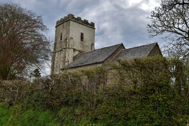
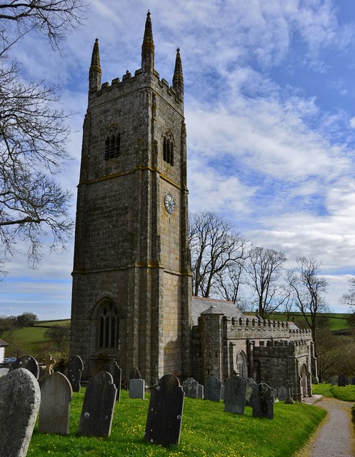
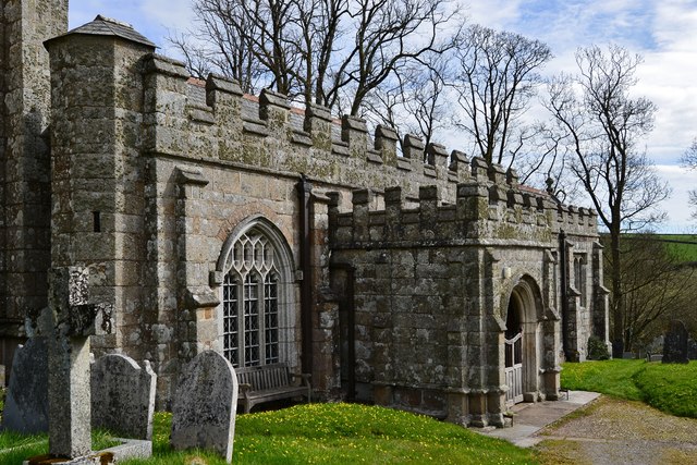
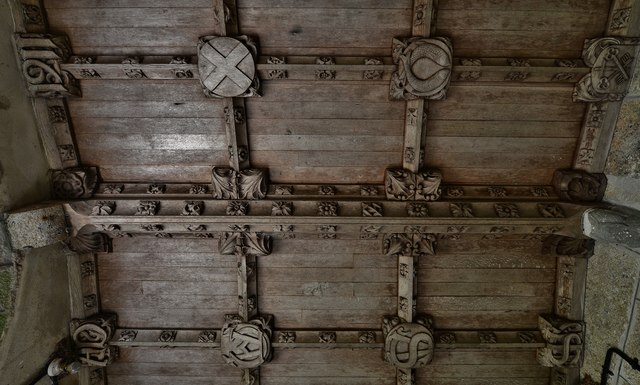
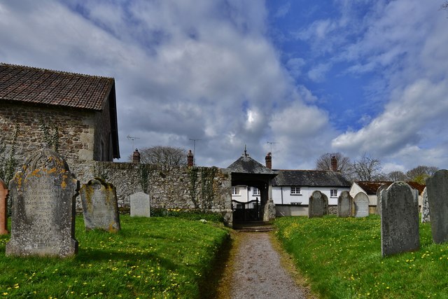
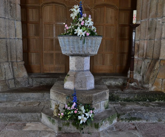
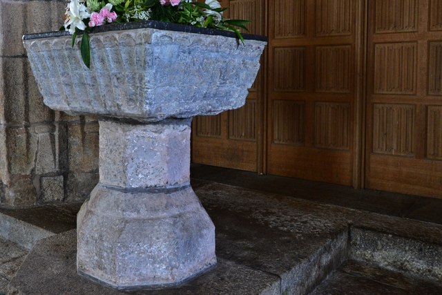
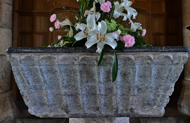
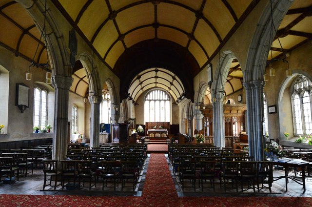
Sander's Park Images
Images are sourced within 2km of 50.796116/-3.9543298 or Grid Reference SS6201. Thanks to Geograph Open Source API. All images are credited.


Sander's Park is located at Grid Ref: SS6201 (Lat: 50.796116, Lng: -3.9543298)
Administrative County: Devon
District: West Devon
Police Authority: Devon and Cornwall
What 3 Words
///lunged.intensely.poems. Near North Tawton, Devon
Nearby Locations
Related Wikis

Sampford Courtenay
Sampford Courtenay is a village and civil parish in West Devon in England, most famous for being the place where the Western Rebellion, otherwise known...

Honeychurch, Devon
Honeychurch is a village and former civil parish now in the parish of Sampford Courtenay, in the West Devon district of the English county of Devon. It...

Battle of Sampford Courtenay
The Battle of Sampford Courtenay was one of the chief military engagements in the Western Rebellion of 1549. == Preparations == By mid August 1549, Humphrey...

Exbourne
Exbourne is a village and civil parish in the English county of Devon. The Anglo-Saxon origin of the name is gæces burn - Cuckoo Stream. It occupies a...
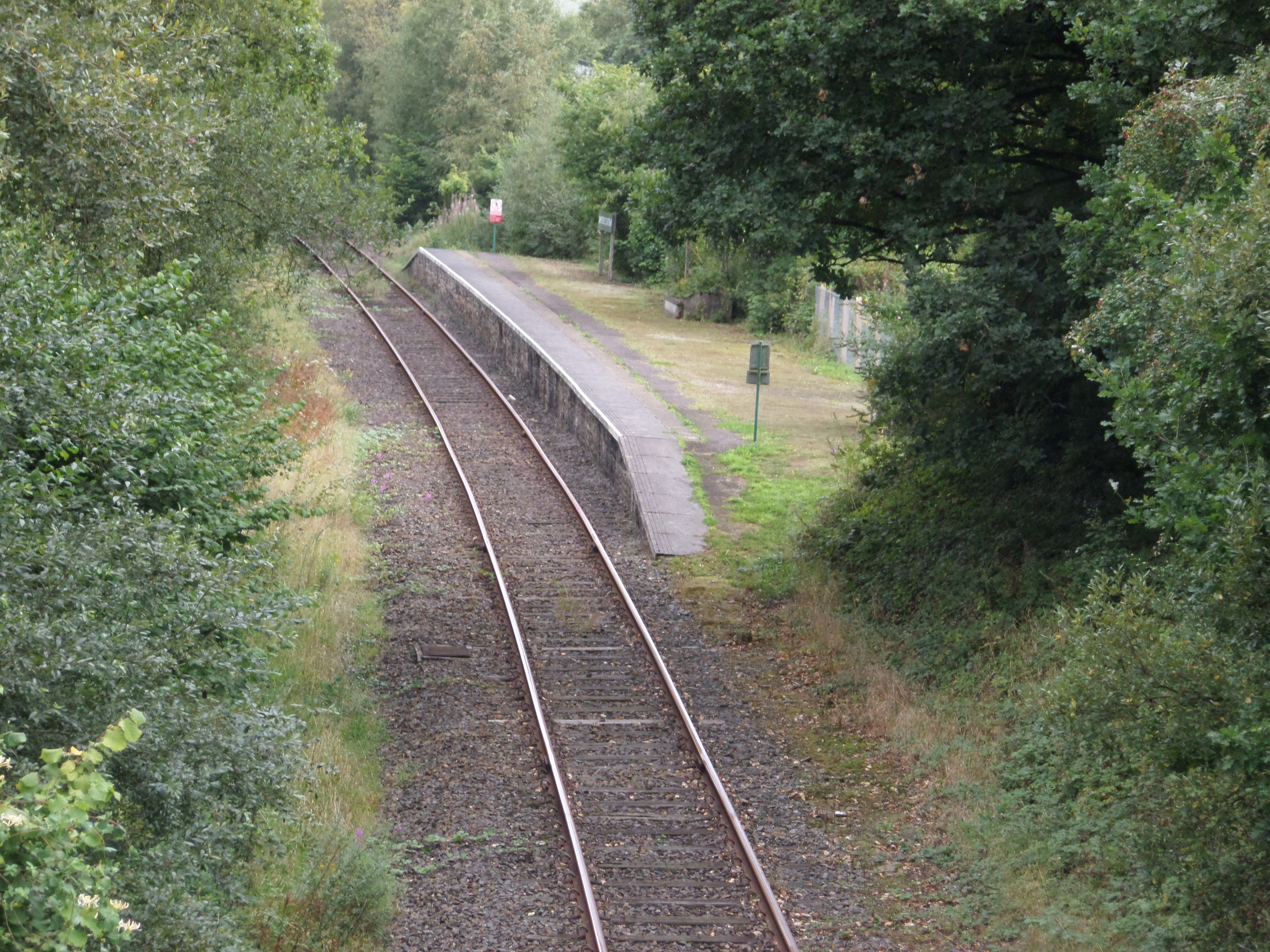
Sampford Courtenay railway station
Sampford Courtenay railway station is a disused railway station at Belstone Corner, which used to serve the nearby (1.6 miles) village of Sampford Courtenay...

Jacobstowe
Jacobstowe is a village and civil parish on the west bank of the River Okement, about 4 miles (6.4 km) north of Okehampton in the West Devon district of...

South West Peninsula
The South West Peninsula is the area of England between the Bristol Channel to the north and the English Channel to the south. It is part of the South...

North Tawton
North Tawton is a small town in Devon, England, situated on the river Taw. It is administered by West Devon Council. The population of the electoral...
Nearby Amenities
Located within 500m of 50.796116,-3.9543298Have you been to Sander's Park?
Leave your review of Sander's Park below (or comments, questions and feedback).