Sampford Chapple
Settlement in Devon West Devon
England
Sampford Chapple
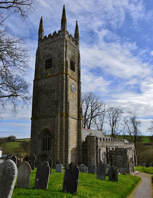
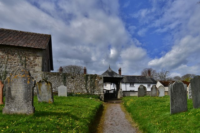
Sampford Chapple is a small village located in the county of Devon, England. Situated in the heart of the picturesque countryside, it is characterized by its idyllic surroundings and a close-knit community. The village is nestled within the rolling hills and green meadows that are typical of the region.
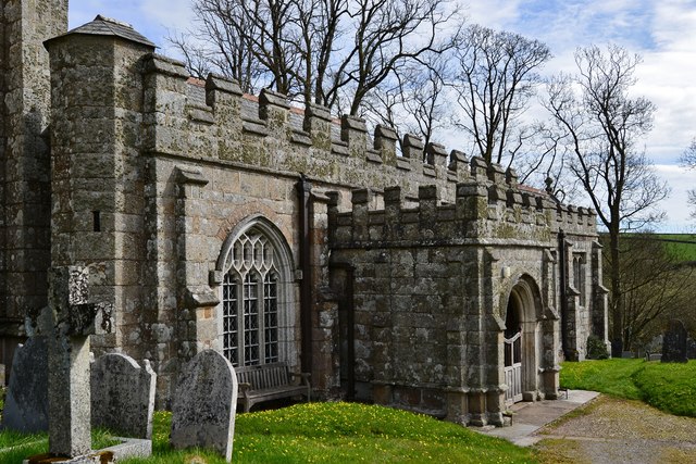
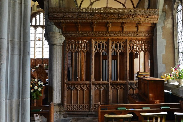
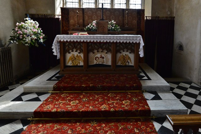
With a population of around 300 residents, Sampford Chapple exudes a peaceful and tranquil atmosphere. Its charming houses, many of which date back to the 18th and 19th centuries, add to the village's quaint and traditional feel. The local architecture is predominantly made up of stone buildings, giving it a rustic and timeless aesthetic.
Despite its small size, Sampford Chapple offers a range of amenities for its residents. There is a village hall that serves as a social hub for community events and gatherings. Additionally, a village pub provides a cozy spot for locals and visitors to enjoy a drink and a hearty meal.
The village is surrounded by beautiful countryside, making it an ideal location for nature lovers and outdoor enthusiasts. There are several walking trails and paths that wind through the surrounding fields and woodlands, providing ample opportunities for leisurely strolls or more challenging hikes.
Overall, Sampford Chapple is a charming and picturesque village in Devon, offering a serene and close-knit community amidst stunning natural landscapes.
If you have any feedback on the listing, please let us know in the comments section below.
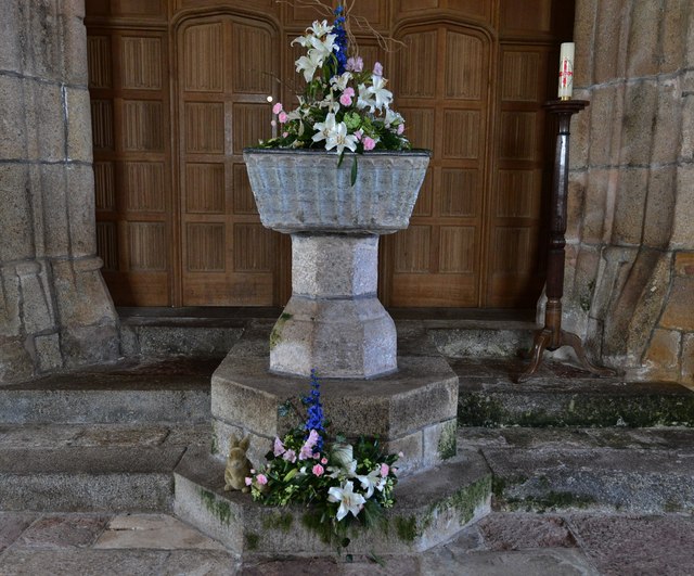
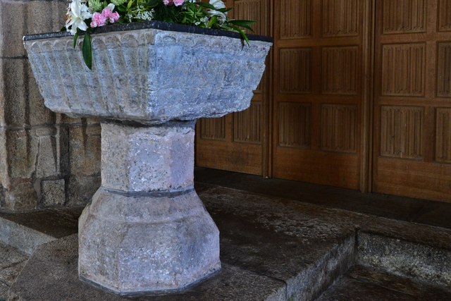
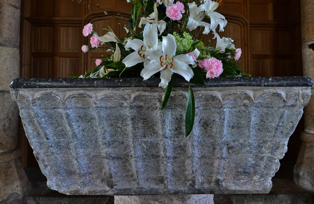
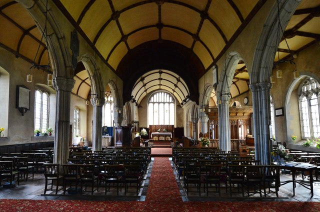
Sampford Chapple Images
Images are sourced within 2km of 50.79311/-3.948774 or Grid Reference SS6201. Thanks to Geograph Open Source API. All images are credited.


Sampford Chapple is located at Grid Ref: SS6201 (Lat: 50.79311, Lng: -3.948774)
Administrative County: Devon
District: West Devon
Police Authority: Devon and Cornwall
What 3 Words
///cucumber.unsightly.marketing. Near North Tawton, Devon
Nearby Locations
Related Wikis

Sampford Courtenay
Sampford Courtenay is a village and civil parish in West Devon in England, most famous for being the place where the Western Rebellion, otherwise known...

Battle of Sampford Courtenay
The Battle of Sampford Courtenay was one of the chief military engagements in the Western Rebellion of 1549. == Preparations == By mid August 1549, Humphrey...

Honeychurch, Devon
Honeychurch is a village and former civil parish now in the parish of Sampford Courtenay, in the West Devon district of the English county of Devon. It...

Exbourne
Exbourne is a village and civil parish in the English county of Devon. The Anglo-Saxon origin of the name is gæces burn - Cuckoo Stream. It occupies a...
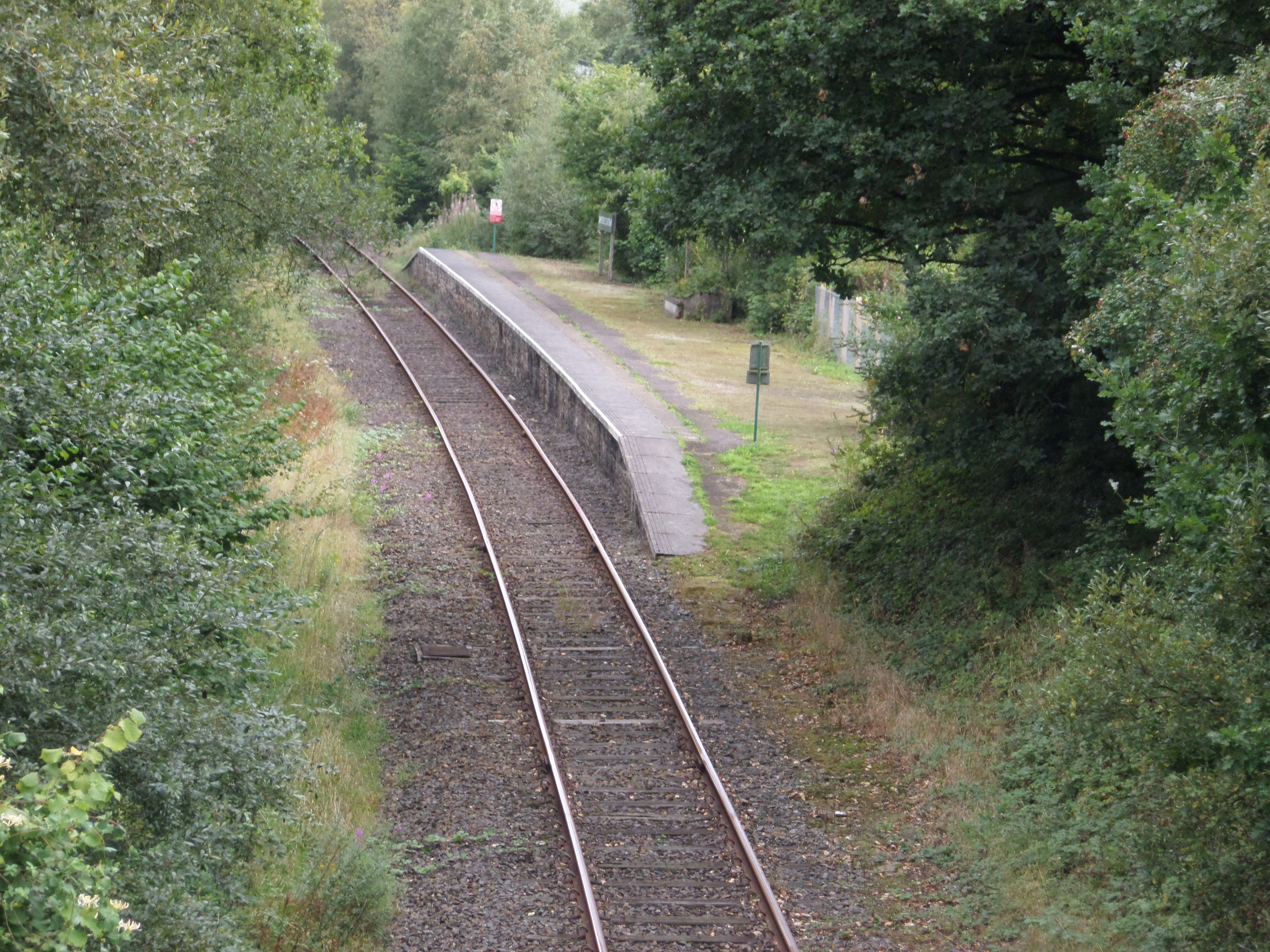
Sampford Courtenay railway station
Sampford Courtenay railway station is a disused railway station at Belstone Corner, which used to serve the nearby (1.6 miles) village of Sampford Courtenay...

South West Peninsula
The South West Peninsula is the area of England between the Bristol Channel to the north and the English Channel to the south. It is part of the South...

North Tawton
North Tawton is a small town in Devon, England, situated on the river Taw. It is administered by West Devon Council. The population of the electoral...

Belstone Corner
Belstone Corner is a hamlet in West Devon in the English county of Devon, part of the civil parish of Sampford Courtenay. The Sampford Courtenay railway...
Nearby Amenities
Located within 500m of 50.79311,-3.948774Have you been to Sampford Chapple?
Leave your review of Sampford Chapple below (or comments, questions and feedback).