Winney's Down
Hill, Mountain in Devon West Devon
England
Winney's Down
Winney's Down is a prominent hill located in the county of Devon, England. Situated within the Dartmoor National Park, it is a popular destination for outdoor enthusiasts and nature lovers alike. Rising to an elevation of approximately 453 meters (1,486 feet), Winney's Down offers breathtaking panoramic views of the surrounding landscape.
The hill is characterized by its rugged terrain, covered in heather, gorse, and scattered granite tors. These tors, weathered granite outcrops, add a unique charm to the hill and attract climbers and hikers seeking a challenge. The slopes of Winney's Down are also home to a diverse range of flora and fauna, including rare species such as the Dartford warbler and the marsh fritillary butterfly.
The hill is easily accessible, with several footpaths and trails leading to its summit. One popular route takes visitors through the picturesque village of Manaton, winding through ancient woodlands before ascending to the top. Another option is to approach Winney's Down from Lustleigh, offering a different perspective of the hill and its surroundings.
Winney's Down holds historical significance as well, with evidence of human activity dating back to the Bronze Age. Remnants of ancient settlements and burial mounds can be found scattered across the hill, adding an element of intrigue and fascination for history enthusiasts.
Overall, Winney's Down is a captivating natural feature in Devon, offering a perfect blend of stunning landscapes, challenging terrain, and historical intrigue.
If you have any feedback on the listing, please let us know in the comments section below.
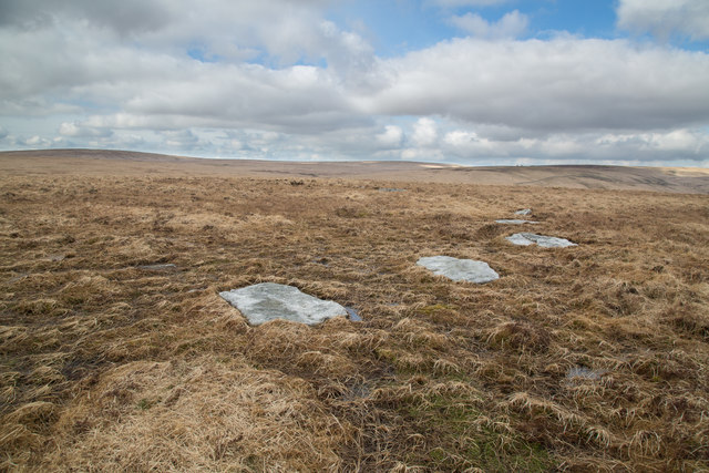
Winney's Down Images
Images are sourced within 2km of 50.626323/-3.9511675 or Grid Reference SX6282. Thanks to Geograph Open Source API. All images are credited.


Winney's Down is located at Grid Ref: SX6282 (Lat: 50.626323, Lng: -3.9511675)
Administrative County: Devon
District: West Devon
Police Authority: Devon and Cornwall
What 3 Words
///unframed.connector.grapevine. Near Princetown, Devon
Nearby Locations
Related Wikis
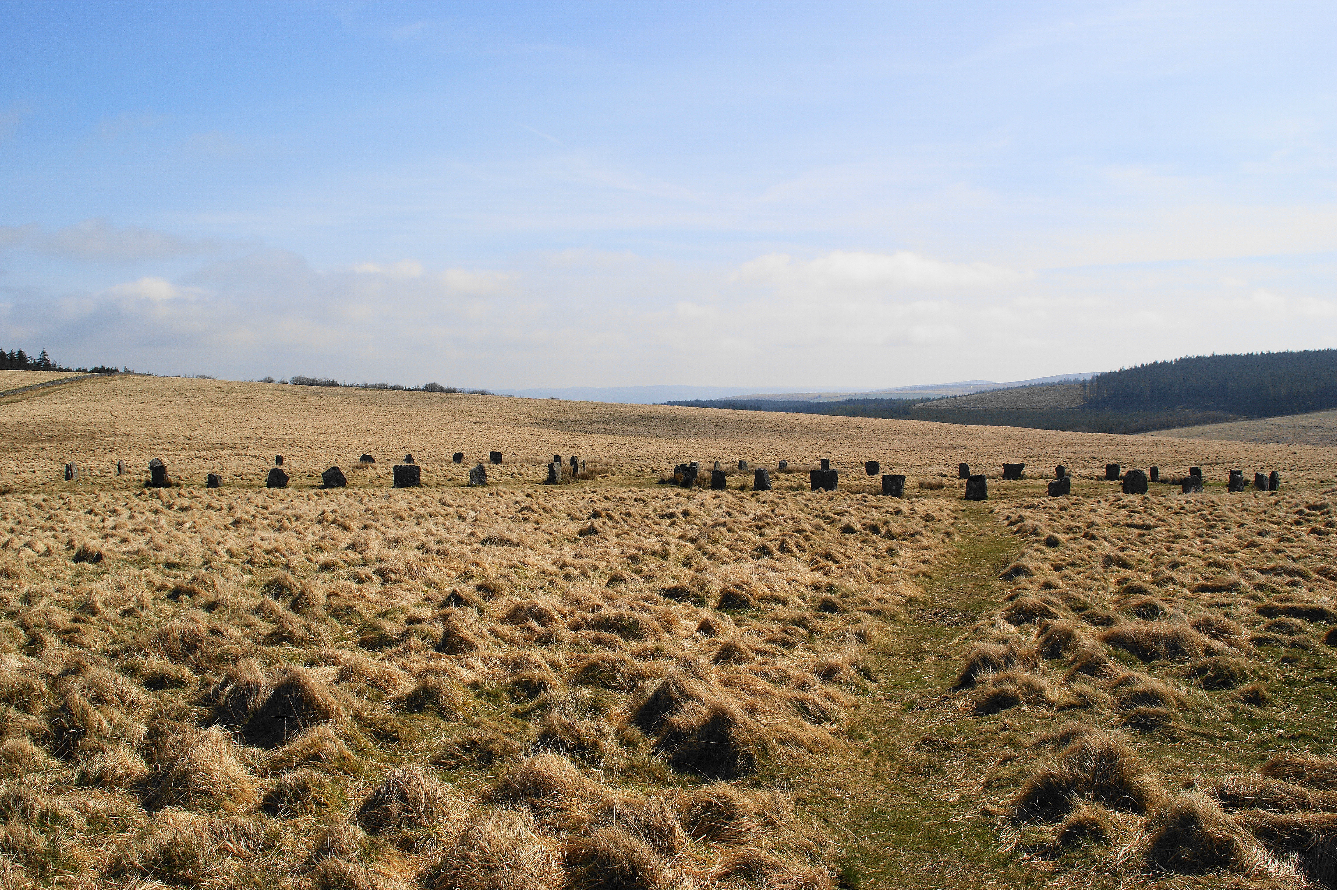
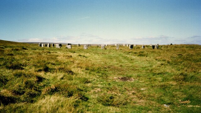
Grey Wethers
Grey Wethers consists of a pair of prehistoric stone circles, situated on grassy plateau to the north of Postbridge, Dartmoor, in the United Kingdom....

Hangingstone Hill
Hangingstone Hill is a hill in North Dartmoor in the southwest English county of Devon. At 603 metres high, it is the joint third highest peak in Devon...

Cranmere Pool
Cranmere Pool is a small depression within a peat bog in the northern half of Dartmoor, Devon, England, at grid reference SX604858. It lies 560 metres...

Dartmoor Forest
Dartmoor Forest is a civil parish in Devon, England. It was formed in 1987 by the splitting of the former parish of Lydford. It covers about 56,000 acres...
Nearby Amenities
Located within 500m of 50.626323,-3.9511675Have you been to Winney's Down?
Leave your review of Winney's Down below (or comments, questions and feedback).