Stall Moor
Downs, Moorland in Devon South Hams
England
Stall Moor

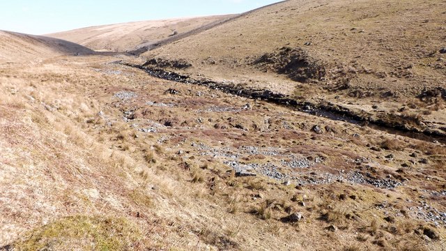
Stall Moor is a picturesque area located in Devon, England, known for its stunning downs and moorland landscapes. It is situated in the southern part of the county, near the town of Ivybridge. Spanning over a vast area, Stall Moor offers visitors a diverse range of natural features and wildlife.
The downs of Stall Moor are characterized by rolling hills covered in lush green grass, providing a serene and peaceful setting for walkers and nature enthusiasts. The land is scattered with wildflowers, creating a vibrant and colorful atmosphere during the warmer months. It is not uncommon to spot grazing livestock, such as sheep and cattle, adding to the traditional rural charm of the area.
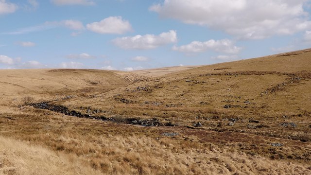
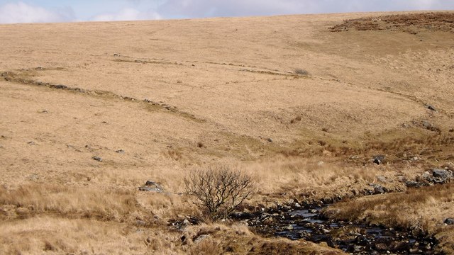
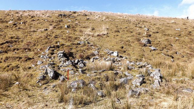
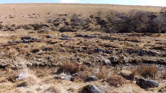
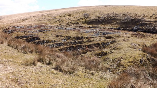
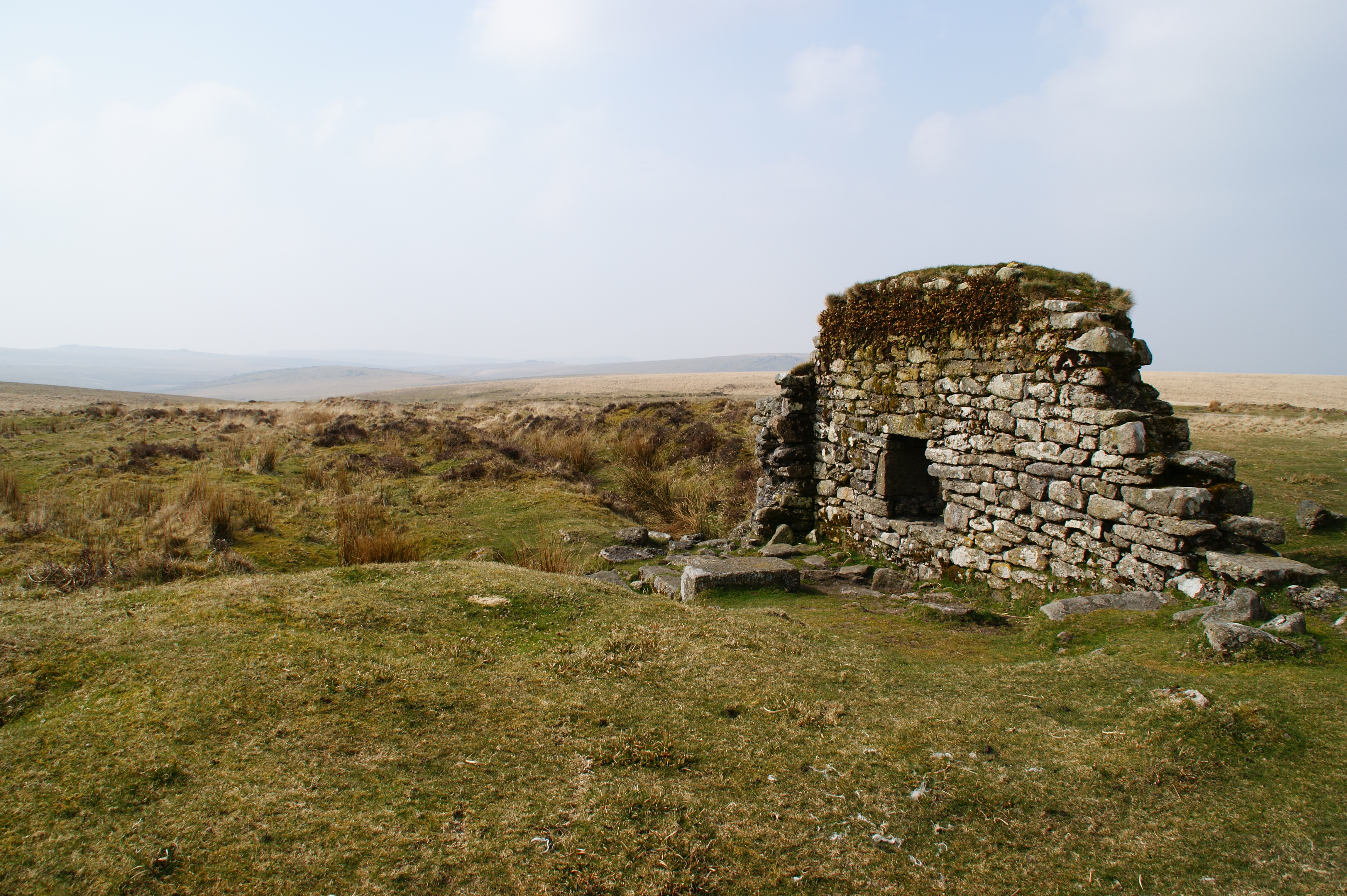
The moorland of Stall Moor offers a unique and rugged landscape. With its heather-covered hills and open expanses, it provides a habitat for a variety of wildlife, including birds, insects, and small mammals. The moorland is crisscrossed with footpaths, allowing visitors to explore and discover the beauty of this untamed terrain.
Stall Moor is a popular destination for outdoor activities such as hiking, cycling, and birdwatching. The area is home to several well-marked trails suitable for all levels of fitness, offering breathtaking views and opportunities to connect with nature.
In summary, Stall Moor in Devon is a captivating region that showcases the natural beauty of downs and moorland. With its picturesque landscapes, diverse wildlife, and numerous outdoor activities, it is a must-visit destination for nature lovers and those seeking tranquility amidst the stunning English countryside.
If you have any feedback on the listing, please let us know in the comments section below.
Stall Moor Images
Images are sourced within 2km of 50.459427/-3.9395838 or Grid Reference SX6263. Thanks to Geograph Open Source API. All images are credited.


Stall Moor is located at Grid Ref: SX6263 (Lat: 50.459427, Lng: -3.9395838)
Administrative County: Devon
District: South Hams
Police Authority: Devon and Cornwall
What 3 Words
///sulked.spillage.grub. Near Ivybridge, Devon
Nearby Locations
Related Wikis

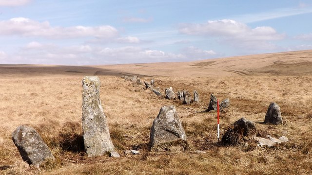
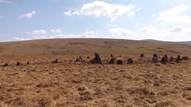
Stalldown Barrow
Stalldown Barrow, sometimes called Staldon, is a megalithic site in Devon, about 5 km from Harford. It consists of a long stone row. It is fairly close...
Eylesbarrow mine
Eylesbarrow mine was a tin mine on Dartmoor, Devon, England that was active during the first half of the 19th century. In its early years it was one of...

Dendles Wood
Dendles Wood is an area of protected oak-beech woodland located on the southern edge of Dartmoor, in the English county of Devon. Forming part of the Dartmoor...

Duck's Pool, Dartmoor
Duck's Pool is a small depression set in a remote location in the southern half of Dartmoor, Devon, England at grid reference SX624678. It lies between...
Nearby Amenities
Located within 500m of 50.459427,-3.9395838Have you been to Stall Moor?
Leave your review of Stall Moor below (or comments, questions and feedback).