Bush Park
Downs, Moorland in Kirkcudbrightshire
Scotland
Bush Park

Bush Park is a picturesque countryside area located in Kirkcudbrightshire, Scotland. Situated amidst the beautiful Downs and Moorland, it spans over a vast expanse of land, offering visitors a serene and tranquil escape from the hustle and bustle of city life.
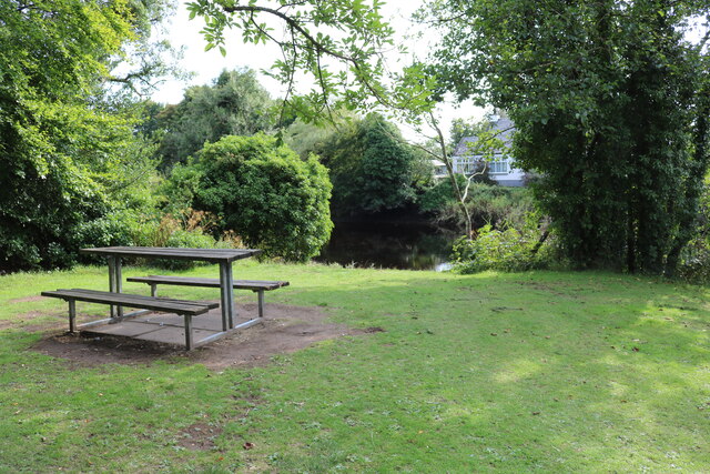
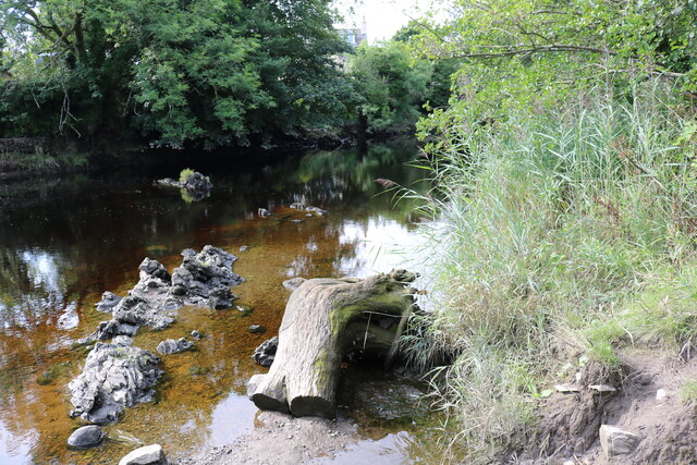
The park is renowned for its stunning natural beauty, characterized by rolling hills, heather-covered moorland, and lush green meadows. It is a haven for nature enthusiasts, hikers, and birdwatchers, who can explore the park's diverse flora and fauna. The Downs provide breathtaking panoramic views of the surrounding countryside, while the Moorland offers a unique habitat for a variety of plant and animal species.
Visitors to Bush Park can enjoy a range of outdoor activities, such as hiking, cycling, and picnicking. The park features well-maintained trails that cater to different levels of difficulty, ensuring that everyone can find a suitable route to explore. Along the trails, one can encounter an array of wildlife, including deer, rabbits, and a wide variety of bird species.
For those interested in history, Bush Park also has a rich cultural heritage. The area is home to ancient burial mounds, standing stones, and remnants of old settlements, providing glimpses into its past. Visitors can immerse themselves in the history and folklore of the region as they wander through the park.
Overall, Bush Park in Kirkcudbrightshire offers a remarkable combination of natural beauty, outdoor activities, and historical significance. It is a haven for those seeking a peaceful retreat in the heart of the Scottish countryside.
If you have any feedback on the listing, please let us know in the comments section below.
Bush Park Images
Images are sourced within 2km of 54.87386/-4.1654369 or Grid Reference NX6155. Thanks to Geograph Open Source API. All images are credited.


Bush Park is located at Grid Ref: NX6155 (Lat: 54.87386, Lng: -4.1654369)
Unitary Authority: Dumfries and Galloway
Police Authority: Dumfries and Galloway
What 3 Words
///auctioned.shaped.clinked. Near Kirkcudbright, Dumfries & Galloway
Nearby Locations
Related Wikis

Cally Palace
Cally Palace, formerly known as Cally House, is an 18th-century country house in the historical county of Kirkcudbrightshire in Dumfries and Galloway...

Gatehouse of Fleet Town Hall
Gatehouse of Fleet Town Hall is a former municipal building in the High Street in Gatehouse of Fleet, Dumfries and Galloway, Scotland. The structure, which...

Gatehouse of Fleet
Gatehouse of Fleet (Scots: Gatehoose o Fleet Scottish Gaelic: Taigh an Rathaid) is a town half in the civil parish of Girthon and half in the parish of...

Girthon Old Parish Church
Girthon Old Parish Church is a ruined ecclesiastical building in Girthon, near Gatehouse of Fleet in Dumfries and Galloway. Built around 1620 on the foundations...

Cardoness Castle
Cardoness Castle is a well-preserved 15th-century tower house just south west of Gatehouse of Fleet, in the historical county of Kirkcudbrightshire in...

Trusty's Hill
Trusty's Hill is a small vitrified hillfort about a mile to the west of the present-day town of Gatehouse of Fleet, in the parish of Anwoth in the Stewartry...
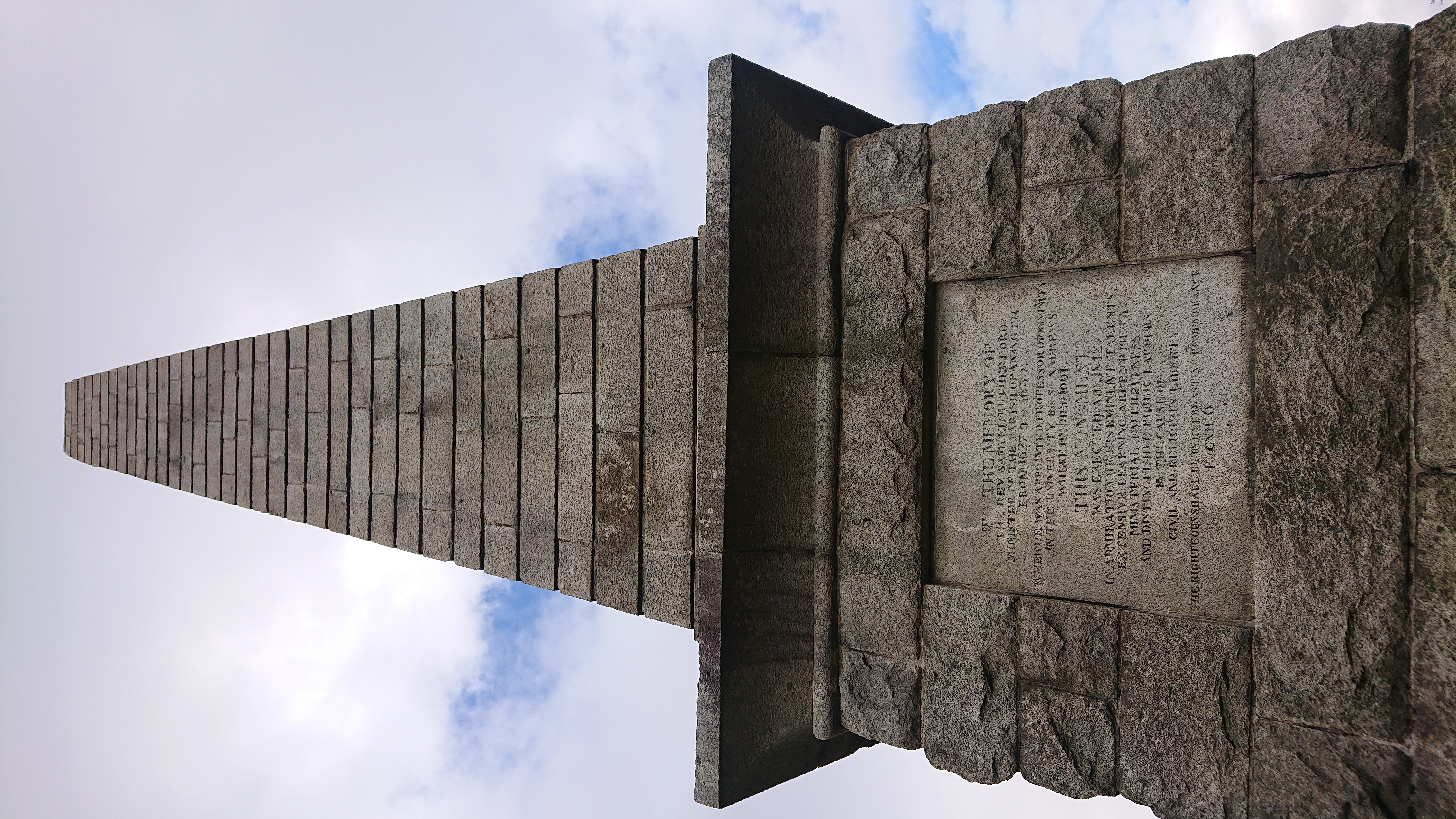
Rutherford's Monument
Rutherford's Monument is a commemorative monument between Anwoth and Gatehouse of Fleet in Dumfries and Galloway, Scotland. It is dedicated to the 17th...

Anwoth Parish Church
Anwoth Parish Church was built in 1826 to serve the parish of Anwoth in Dumfries and Galloway, Scotland. Designed by Walter Newall, it replaced Anwoth...
Nearby Amenities
Located within 500m of 54.87386,-4.1654369Have you been to Bush Park?
Leave your review of Bush Park below (or comments, questions and feedback).