Miller Hill

Hill, Mountain in Kirkcudbrightshire

Scotland

Miller Hill

Clock Tower, Gatehouse of Fleet This tower was built in 1871. The local artist John Faed was involved in building the clock tower and town hall. The tower stands at the junction of Ann Street with the High Street.
Clock Tower, Gatehouse of Fleet Credit: David Hawgood

The requested URL returned error: 429 Too Many Requests

If you have any feedback on the listing, please let us know in the comments section below.
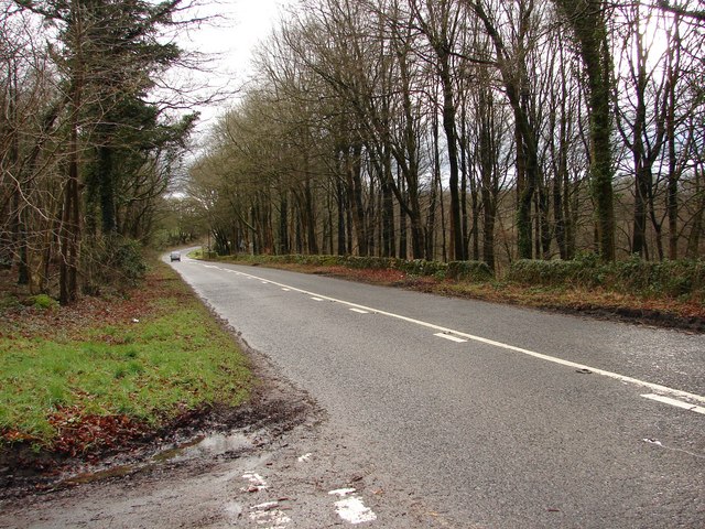
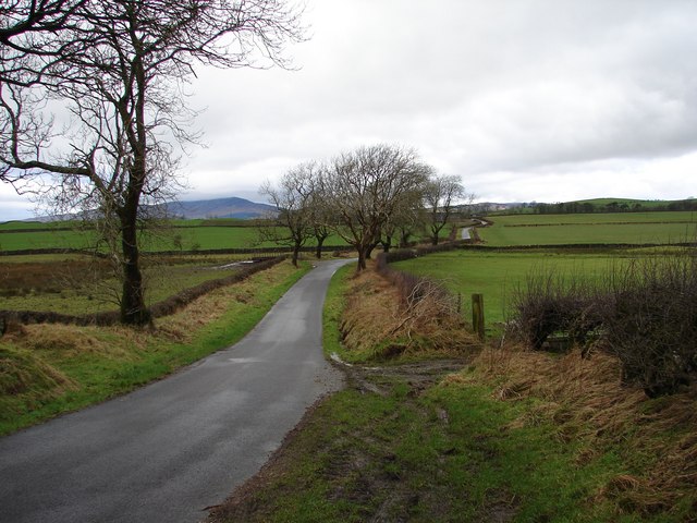
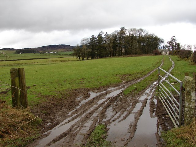
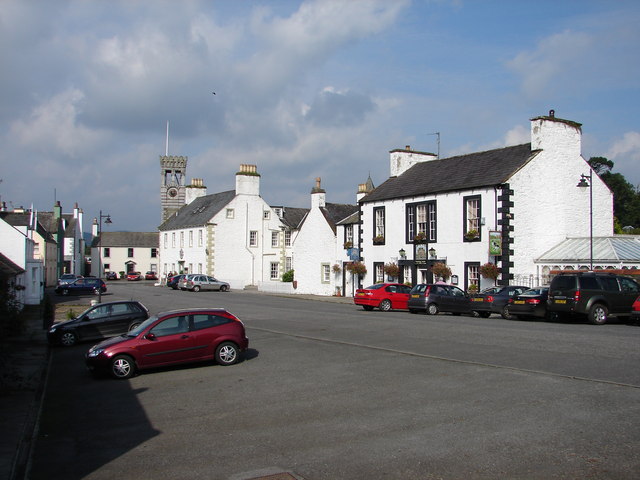
Miller Hill Images

Images are sourced within 2km of 54.877944/-4.1526394 or Grid Reference NX6155. Thanks to Geograph Open Source API. All images are credited.

Clock Tower, Gatehouse of Fleet This tower was built in 1871. The local artist John Faed was involved in building the clock tower and town hall. The tower stands at the junction of Ann Street with the High Street.
Clock Tower, Gatehouse of Fleet
This tower was built in 1871. The local artist John Faed was involved in building the clock tower and town hall. The tower stands at the junction of Ann Street with the High Street.
Ann Street, Gatehouse of Fleet A pleasant Sunday morning following a wedding I attended in one of the houses on the right.  The girl on the bike was one of the other guests.
Ann Street, Gatehouse of Fleet
A pleasant Sunday morning following a wedding I attended in one of the houses on the right. The girl on the bike was one of the other guests.
Cally Woods, Gatehouse of Fleet There are 3 marked walks through these woods passing oakwoods and a mote. There is an "Interpretive Trail" to follow showing aspects of wood management and varying species of trees.
Cally Woods, Gatehouse of Fleet
There are 3 marked walks through these woods passing oakwoods and a mote. There is an "Interpretive Trail" to follow showing aspects of wood management and varying species of trees.
Gatehouse of Fleet The High Street, formerly the busy A75. Gatehouse of Fleet is now by-passed by a long straight stretch of road to the south.
Gatehouse of Fleet
The High Street, formerly the busy A75. Gatehouse of Fleet is now by-passed by a long straight stretch of road to the south.
Signature hole - the 13th at the Cally Palace The watery grave of the Cally Lake lies between the golfer and the green.
Signature hole - the 13th at the Cally Palace
The watery grave of the Cally Lake lies between the golfer and the green.
Spring flowers Lesser celandines [Ranunculus ficaria], and a daisy, flowering by the roadside, Gatehouse of Fleet
Spring flowers
Lesser celandines [Ranunculus ficaria], and a daisy, flowering by the roadside, Gatehouse of Fleet
The A75 From the B727
Enrick Farm Through the Trees
Grassy lane Pathway providing rear access to properties on the main street in Gatehouse of Fleet.
Grassy lane
Pathway providing rear access to properties on the main street in Gatehouse of Fleet.
Small park Small public park behind the town hall in Gatehouse of Fleet.  The hall, the main building in the picture, presumably has its hall on the first floor, above the arch.
Small park
Small public park behind the town hall in Gatehouse of Fleet. The hall, the main building in the picture, presumably has its hall on the first floor, above the arch.
Car park, Cally Park Forestry car park in the grounds of the Cally Estate.
Car park, Cally Park
Forestry car park in the grounds of the Cally Estate.
Gatehouse of Fleet Clock tower and High Street.
Gatehouse of Fleet
Clock tower and High Street.
Townhead Bridge Bridge over the Townhead Burn, situated on the unclassified Old Military Road between Gatehouse-of-Fleet and Twynholm.
Townhead Bridge
Bridge over the Townhead Burn, situated on the unclassified Old Military Road between Gatehouse-of-Fleet and Twynholm.
Whillan East Wood - B727 The B727 (original A75) heads SE from Gatehouse-of-Fleet toward the modern A75. Whillan East Wood (right of picture) is part of the Fleet Forest; left is the turn-off onto the Old Military Road via Townhead.
Whillan East Wood - B727
The B727 (original A75) heads SE from Gatehouse-of-Fleet toward the modern A75. Whillan East Wood (right of picture) is part of the Fleet Forest; left is the turn-off onto the Old Military Road via Townhead.
Townhead Farm View over the fields to Townhead Farm, taken from the S side of the unclassified Old Military Road between Gatehouse-of-Fleet and Twynholm.
Townhead Farm
View over the fields to Townhead Farm, taken from the S side of the unclassified Old Military Road between Gatehouse-of-Fleet and Twynholm.
Townhead - Littleton Winter view SSW across the fields from the unclassified Old Military Road between Townhead and Littleton farms.  In the distance is Wigtown Bay.
Townhead - Littleton
Winter view SSW across the fields from the unclassified Old Military Road between Townhead and Littleton farms. In the distance is Wigtown Bay.
Tannymass - Old Military Road View westward along the unclassified Old Military Road between Twynholm and Gatehouse-of-Fleet. In the distance is Cairnharrow (456m).
Tannymass - Old Military Road
View westward along the unclassified Old Military Road between Twynholm and Gatehouse-of-Fleet. In the distance is Cairnharrow (456m).
Tanymaas Farm Winter muddy track leads up from the Old Military Road to thelonely Tanymaas Farm. NNW are the cottages and farm of Greenslack.
Tanymaas Farm
Winter muddy track leads up from the Old Military Road to thelonely Tanymaas Farm. NNW are the cottages and farm of Greenslack.
Show me another place!

Miller Hill is located at Grid Ref: NX6155 (Lat: 54.877944, Lng: -4.1526394)

Unitary Authority: Dumfries and Galloway

Police Authority: Dumfries and Galloway

What 3 Words

///rummage.geek.flame. Near Kirkcudbright, Dumfries & Galloway

Related Wikis

Gatehouse of Fleet Town Hall

Gatehouse of Fleet Town Hall is a former municipal building in the High Street in Gatehouse of Fleet, Dumfries and Galloway, Scotland. The structure, which...

Gatehouse of Fleet

Gatehouse of Fleet (Scots: Gatehoose o Fleet Scottish Gaelic: Taigh an Rathaid) is a town, half in the civil parish of Girthon, and half in the parish...

Cally Palace

Cally Palace, formerly known as Cally House, is an 18th-century country house in the historical county of Kirkcudbrightshire in Dumfries and Galloway...

Girthon Old Parish Church

Girthon Old Parish Church is a ruined ecclesiastical building in Girthon, near Gatehouse of Fleet in Dumfries and Galloway. Built around 1620 on the foundations...

Nearby Amenities

Located within 500m of 54.877944,-4.1526394
Power: pole
Lat/Long: 54.878285/-4.1603134
Power: pole
Lat/Long: 54.8765104/-4.1571377
Power: pole
Lat/Long: 54.8759564/-4.1561104
Power: pole
Lat/Long: 54.8755968/-4.1554533
Power: pole
Lat/Long: 54.8751693/-4.1546486
Power: pole
Lat/Long: 54.8747773/-4.1537635
Power: pole
Lat/Long: 54.8742572/-4.1527603
Power: pole
Lat/Long: 54.8770807/-4.1581583
Power: pole
Lat/Long: 54.8777316/-4.1593232
Power: pole
Lat/Long: 54.8766029/-4.1529257
Power: pole
Lat/Long: 54.875807/-4.1535556
Power: pole
Lat/Long: 54.875109/-4.1541318
Power: pole
Lat/Long: 54.8743816/-4.1547033
Power: pole
Lat/Long: 54.8737252/-4.1552422
Power: pole
Lat/Long: 54.8799211/-4.1585678
Power: pole
Lat/Long: 54.8794958/-4.1578445
Power: pole
Lat/Long: 54.8788691/-4.156804
Power: pole
Lat/Long: 54.8784128/-4.1560319
Power: pole
Lat/Long: 54.8779148/-4.1551944
Power: pole
Lat/Long: 54.8772263/-4.1540257
Power: pole
Lat/Long: 54.8764237/-4.1519121
Power: pole
Lat/Long: 54.8762452/-4.1509044
Power: pole
Lat/Long: 54.8760815/-4.1498756
Power: pole
Lat/Long: 54.8758868/-4.1487418
Power: pole
Lat/Long: 54.8756802/-4.1475871
Power: pole
Lat/Long: 54.875452/-4.1462131
Power: pole
Lat/Long: 54.8804863/-4.1584114
Power: pole
Lat/Long: 54.8810298/-4.1582737
Power: pole
Lat/Long: 54.8817102/-4.1566151
The data included in this document is from www.openstreetmap.org. The data is made available under ODbL.

Have you been to Miller Hill?

Leave your review of Miller Hill below (or comments, questions and feedback).