Low Moss
Downs, Moorland in Ayrshire
Scotland
Low Moss
Low Moss is a picturesque area located in Ayrshire, Scotland. It is nestled amidst the beautiful Downs and Moorland, offering residents and visitors alike a tranquil and scenic environment.
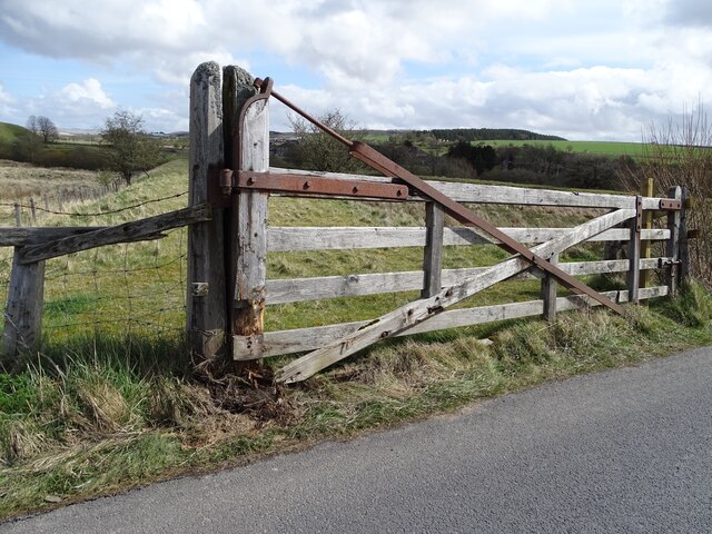
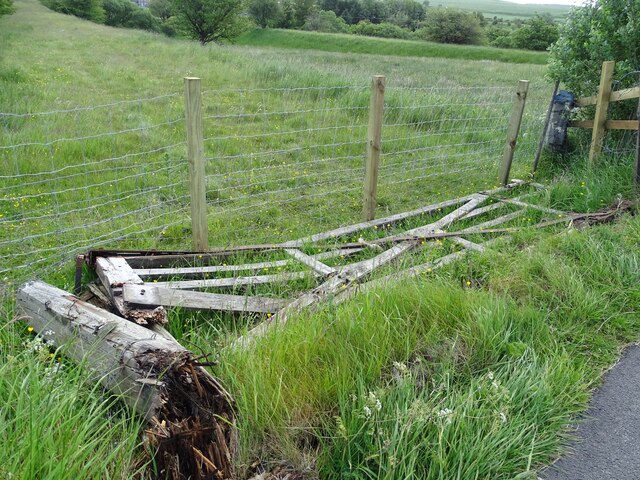
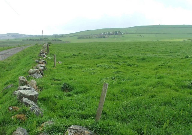
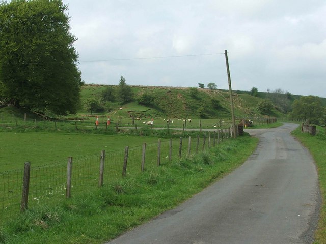
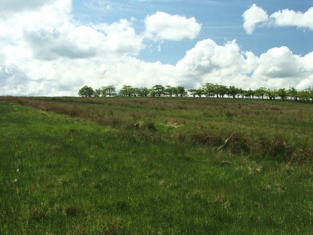
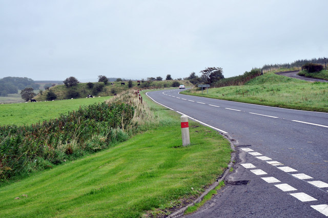
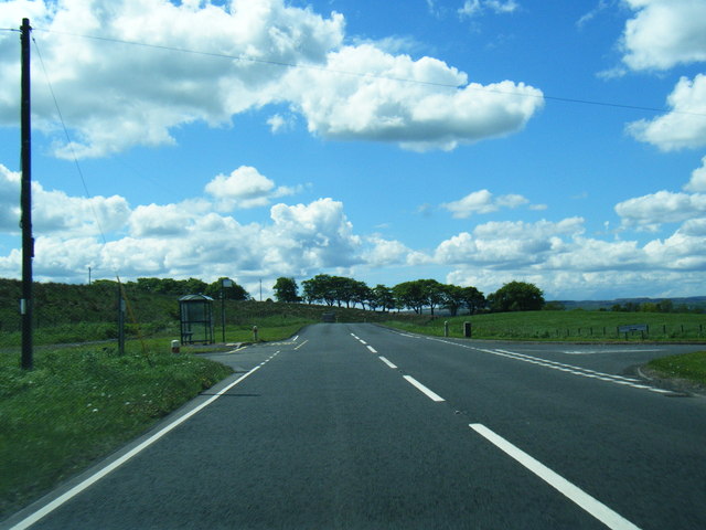
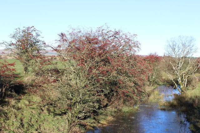
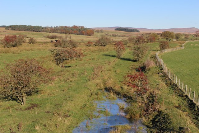
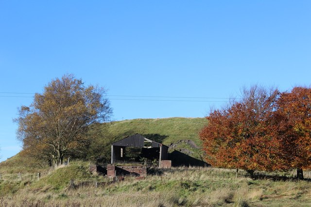
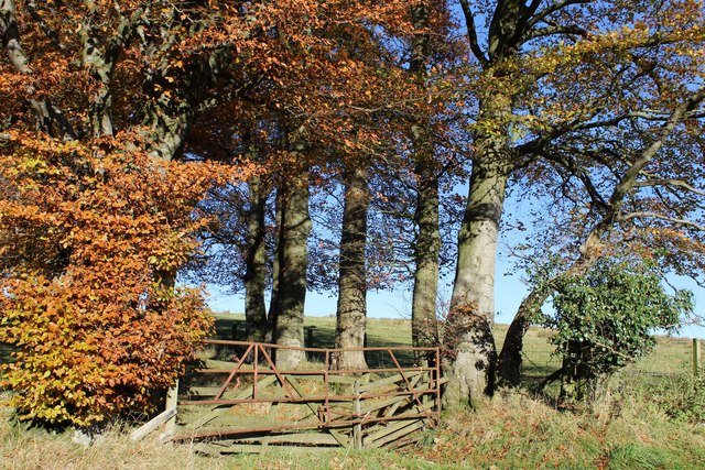
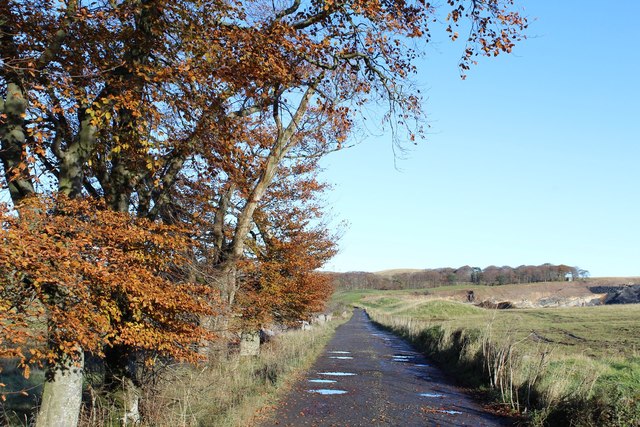
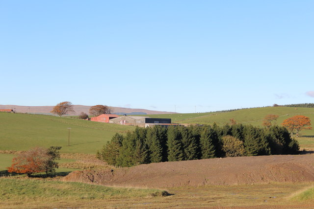
The area is characterized by its rolling hills and expansive moors, which are covered in heather and grasses, creating a stunning landscape. The Downs in Low Moss are known for their gentle slopes, making them ideal for hiking and walking enthusiasts. The well-maintained footpaths and trails provide ample opportunities to explore the area's natural beauty.
Low Moss is also home to a diverse range of wildlife, including various bird species, such as red grouse and skylarks, which can be spotted soaring through the skies. The moorland is also inhabited by a variety of mammals, including rabbits and deer, adding to the area's natural charm.
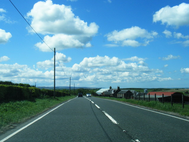
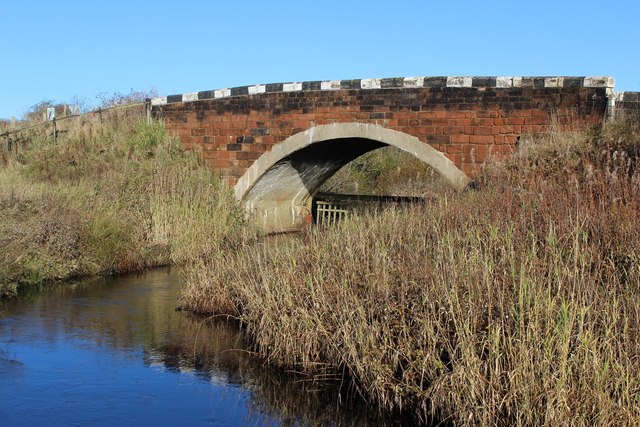
The rural charm of Low Moss is further enhanced by the presence of quaint cottages and traditional farmhouses. Many of these buildings have been lovingly restored and offer visitors a glimpse into the area's rich history and heritage.
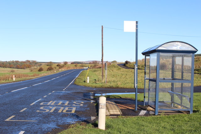
Despite its rural setting, Low Moss is conveniently located within easy reach of nearby towns and amenities. The village of Ayr is just a short drive away, offering a wide range of shops, restaurants, and leisure facilities.
In summary, Low Moss is a captivating area in Ayrshire, boasting stunning Downs and Moorland landscapes, abundant wildlife, and a rich history. It is a perfect destination for those seeking a peaceful retreat amidst nature's beauty.
If you have any feedback on the listing, please let us know in the comments section below.
Low Moss Images
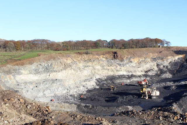
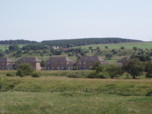
Images are sourced within 2km of 55.462863/-4.1965709 or Grid Reference NS6120. Thanks to Geograph Open Source API. All images are credited.
![Site of Cronberry station View NW from A70 road: ex-Glasgow & South Western junction of lines, via Auchinleck to left from Ayr and Kilmarnock via Mauchline and from Ayr via Drongan, to Muirkirk to right. The station closed to passengers on 10/9/51, to goods on 2/3/64. The passenger service from Auchinleck ceased from 1/7/50, so all lines were probably closed after 2/3/64 [- but I am not sure - help please!]](https://s0.geograph.org.uk/geophotos/03/33/39/3333984_a615b4f2.jpg)
Low Moss is located at Grid Ref: NS6120 (Lat: 55.462863, Lng: -4.1965709)
Unitary Authority: East Ayrshire
Police Authority: Ayrshire
What 3 Words
///classmate.polite.doubts. Near Logan, East Ayrshire
Nearby Locations
Related Wikis
Cronberry
Cronberry is a small hamlet situated north-east of Cumnock and one mile north-east of Lugar, in East Ayrshire, Scotland. == History == Cronberry has a...

Glenmuir Water
The Glenmuir Water is a river in Ayrshire, Scotland.The river rises high in the hills south of Muirkirk. On reaching Lugar the Glenmuir is joined by the...

Murdoch's Cave
Murdoch's Cave, is a relatively small artificial cave created by William Murdoch (1754-1839) and his siblings in the soft red sandstone Lugar river bank...

Bello Mill
Bello Mill (also spelt Bellow Mill) was a mill dating from the 18th century on the river called the Lugar Water, on the estate of James Boswell, Lord Auchinleck...

Cronberry railway station
Cronberry railway station was a railway station serving the hamlet of Cronberry, East Ayrshire, Scotland. The station was originally part of the Glasgow...

Medieval turf building in Cronberry
Excavations in Cronberry, East Ayrshire, Scotland by Headland Archaeology revealed a medieval turf building and a nearby enclosure of unknown date. The...

Logan, East Ayrshire
Logan (Scottish Gaelic: An Lagan) is a village in East Ayrshire, southwest Scotland. It is 1 mile (1.6 km) east of Cumnock, by the Lugar Water. Logan is...

Lugar, East Ayrshire
Lugar is a small village in East Ayrshire, southwest Scotland. Lugar is in Auchinleck Parish, Kyle District, Ayrshire. It is 1.5 miles (2.4 km) ENE of...
Nearby Amenities
Located within 500m of 55.462863,-4.1965709Have you been to Low Moss?
Leave your review of Low Moss below (or comments, questions and feedback).